Àird na Cùile
Coastal Feature, Headland, Point in Argyllshire
Scotland
Àird na Cùile

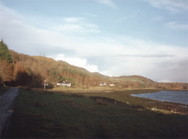
Àird na Cùile is a prominent coastal feature located in Argyllshire, Scotland. Situated in the western part of the country, it is known for its stunning natural beauty and rugged terrain. This headland, also known as a point, juts out into the Atlantic Ocean, offering breathtaking views of the surrounding landscape.
The geography of Àird na Cùile is characterized by steep cliffs that plunge into the sea, creating a dramatic and picturesque setting. These cliffs are formed by the erosion of the underlying rock formations over thousands of years, resulting in distinctive geological features.
The headland is also home to a diverse range of flora and fauna. The coastal vegetation includes hardy plants such as heather and gorse, which thrive in the harsh coastal conditions. Bird species such as gulls, puffins, and cormorants can often be spotted nesting and hunting in the area.
Àird na Cùile is a popular destination for outdoor enthusiasts and nature lovers. The rugged coastline provides opportunities for hiking, rock climbing, and birdwatching. The headland also boasts several well-marked trails that offer stunning panoramic views of the ocean and the surrounding countryside.
In addition to its natural beauty, Àird na Cùile has historical significance. The area is dotted with ancient ruins and archaeological sites, providing a glimpse into the rich heritage of the region. Visitors can explore the remains of ancient settlements and burial sites, gaining insight into the lives of the people who once called this place home.
Overall, Àird na Cùile is a captivating coastal feature that showcases the beauty and diversity of the Argyllshire landscape. Its rugged cliffs, stunning views, and historical significance make it a must-visit destination for both locals and tourists alike.
If you have any feedback on the listing, please let us know in the comments section below.
Àird na Cùile Images
Images are sourced within 2km of 56.372655/-5.5296475 or Grid Reference NM8225. Thanks to Geograph Open Source API. All images are credited.


Àird na Cùile is located at Grid Ref: NM8225 (Lat: 56.372655, Lng: -5.5296475)
Unitary Authority: Argyll and Bute
Police Authority: Argyll and West Dunbartonshire
What 3 Words
///finest.vibrating.bats. Near Oban, Argyll & Bute
Nearby Locations
Related Wikis
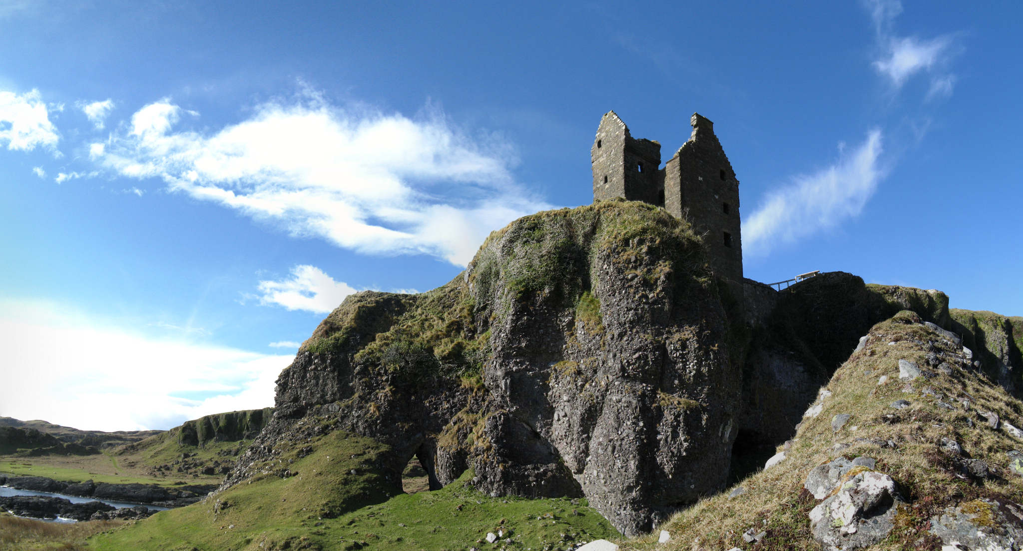
Gylen Castle
Gylen Castle is a ruined castle, or tower house, at the south end of the island of Kerrera in Argyll and Bute, Scotland, on a promontory overlooking the...
Ardentallen
Ardentallen (Scottish Gaelic: Àird an t-Sàilein) is a village in Argyll and Bute, Scotland. == References ==

Kerrera
Kerrera (; Scottish Gaelic: Cearara or Cearrara) is an island in the Scottish Inner Hebrides, close to the town of Oban. In 2016 it had a population of...

Lorn and Islands Hospital
Lorn & Islands Hospital is a rural general hospital on the southern outskirts of Oban in Argyll, Scotland. It is managed by NHS Highland. == History... ==
Nearby Amenities
Located within 500m of 56.372655,-5.5296475Have you been to Àird na Cùile?
Leave your review of Àird na Cùile below (or comments, questions and feedback).