Dean Point

Coastal Feature, Headland, Point in Cornwall

England

Dean Point

Footpath to Lowland Point The path was re-routed a few years ago to accommodate expansion of the Dean Gabbro Quarry to the north.
Virtually all the land within this square and indeed the hectad SW81 can be seen in this shot.
Footpath to Lowland Point Credit: Jonathan Billinger

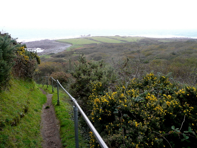
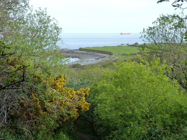
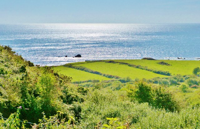
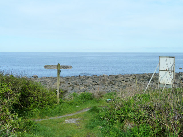
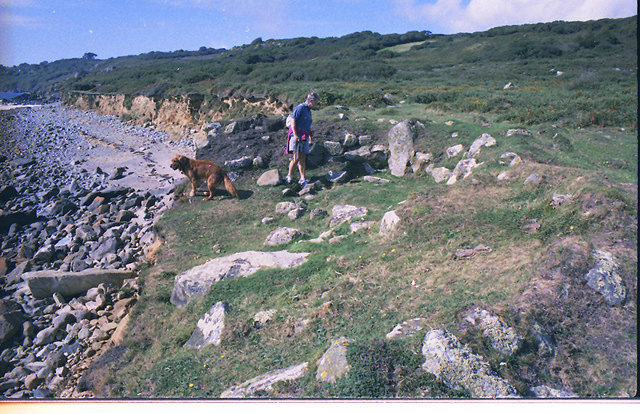
Dean Point is a prominent coastal feature located in Cornwall, England. It is classified as a headland and point, and is renowned for its stunning natural beauty and strategic location. Situated along the rugged coastline of Cornwall, Dean Point offers breathtaking panoramic views of the surrounding area.

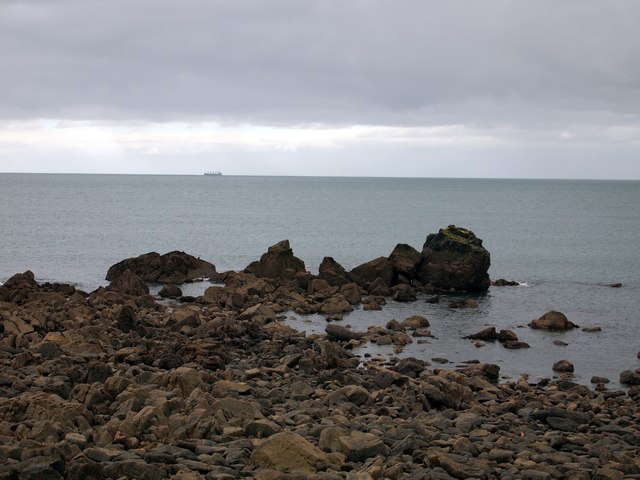
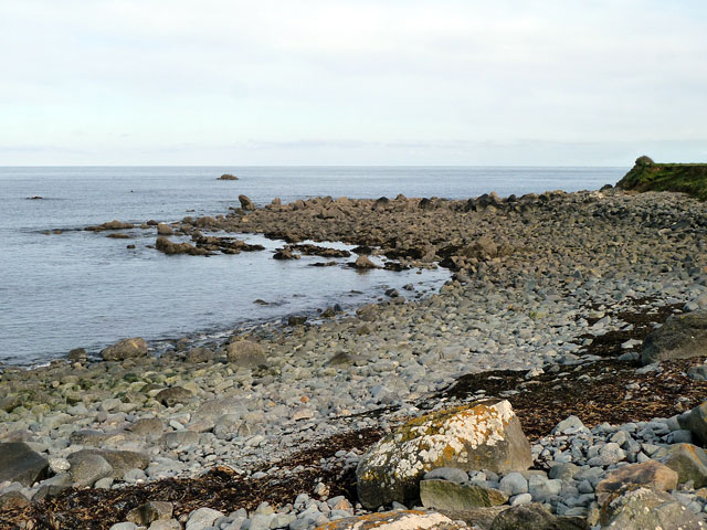
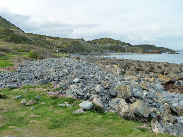
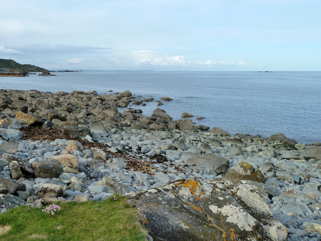
The headland is characterized by steep cliffs that drop dramatically into the sea, creating a dramatic and picturesque landscape. The rugged terrain is largely composed of granite, adding to the area's unique charm. Dean Point is known for its distinctive geological formations, including several sea caves and natural arches carved out by the relentless waves over time.

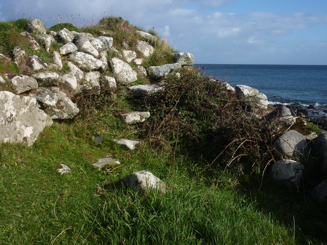
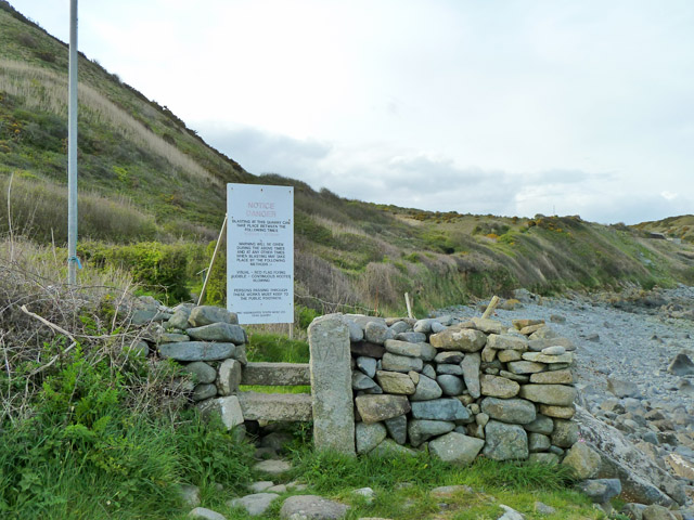
The point's strategic location has made it an important landmark throughout history. It overlooks the English Channel, providing a vantage point for observing any maritime activity in the area. In the past, Dean Point served as a lookout post for coastal defense, with remnants of fortifications still visible today.

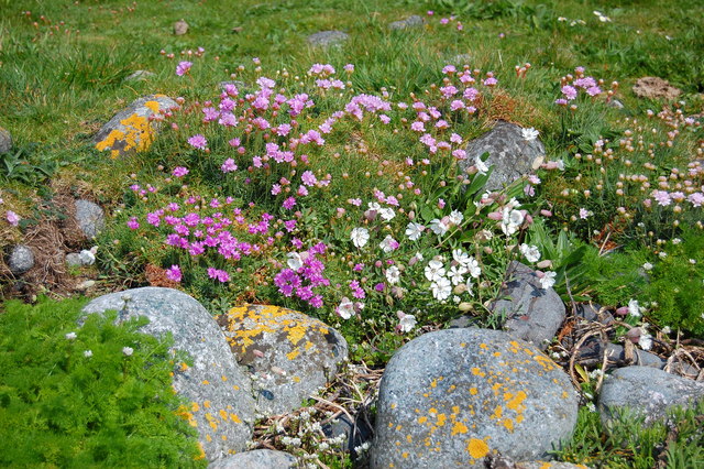
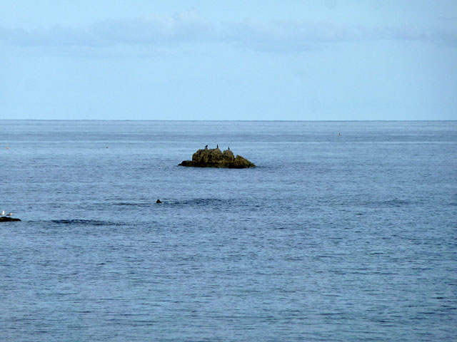
The area surrounding Dean Point is teeming with diverse wildlife. Seabirds, such as gulls and cormorants, can often be spotted nesting along the cliffs. The waters surrounding the point are home to a variety of marine life, including seals and dolphins, making it a popular spot for wildlife enthusiasts.

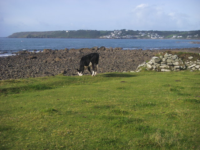
Access to Dean Point is relatively easy, with a well-maintained footpath leading visitors to the headland. The footpath offers stunning views and is a favorite among hikers and nature lovers. The area is also popular for rock climbing, as the cliffs provide challenging routes for experienced climbers.

In conclusion, Dean Point in Cornwall is a captivating coastal feature that offers breathtaking views, rich history, and diverse wildlife. Whether you are a nature enthusiast, history buff, or adventure seeker, Dean Point is a must-visit destination that showcases the beauty of Cornwall's coastline.

If you have any feedback on the listing, please let us know in the comments section below.
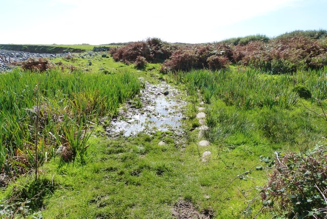
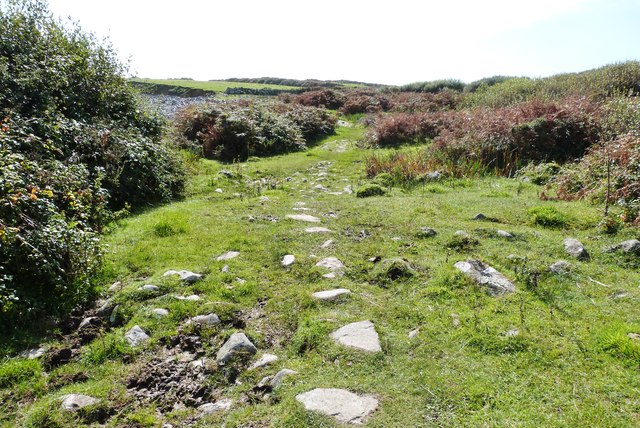
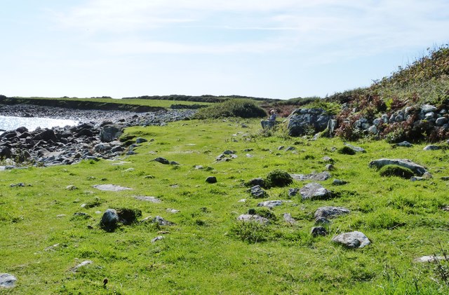
Dean Point Images

Images are sourced within 2km of 50.043652/-5.0667084 or Grid Reference SW8020. Thanks to Geograph Open Source API. All images are credited.

Footpath to Lowland Point The path was re-routed a few years ago to accommodate expansion of the Dean Gabbro Quarry to the north.
Virtually all the land within this square and indeed the hectad SW81 can be seen in this shot.
Footpath to Lowland Point
The path was re-routed a few years ago to accommodate expansion of the Dean Gabbro Quarry to the north. Virtually all the land within this square and indeed the hectad SW81 can be seen in this shot.
Flowers and boulders at Lowland Point On a glorious spring day.
Flowers and boulders at Lowland Point
On a glorious spring day.
Great Wrea Rocks off Lowland Point.
Great Wrea
Rocks off Lowland Point.
Lowland Point A descriptive name for a very low coastal area, unusual for Cornwall. Viewed from the steeply descending path along the western boundary of the old Dean Quarry.
Lowland Point
A descriptive name for a very low coastal area, unusual for Cornwall. Viewed from the steeply descending path along the western boundary of the old Dean Quarry.
Little Wrea Current population three (cormorants).
Little Wrea
Current population three (cormorants).
Lowland Point The isolated rock some way out is Little Wrea. Great Wrea is hidden round the corner of the point and is much closer in, no longer an island at low tide.
Lowland Point
The isolated rock some way out is Little Wrea. Great Wrea is hidden round the corner of the point and is much closer in, no longer an island at low tide.
Stairway to Heaven A stile at the receding cliff near Lowland Point.
Stairway to Heaven
A stile at the receding cliff near Lowland Point.
Lowland Point Grazing on Lowland Point looking in the distance to Coverack
Lowland Point
Grazing on Lowland Point looking in the distance to Coverack
A very wet section of the SW Coast Path at Lowland Point, Cprnwall
Stepping stones across some of the boggier part of the SW Coast Path at Lowland Point, Cornwall This section passes through National Trust land.
Stepping stones across some of the boggier part of the SW Coast Path at Lowland Point, Cornwall
This section passes through National Trust land.
Entering National Trust land at Lowland Point, Cornwall Part of the SW coast path.
Entering National Trust land at Lowland Point, Cornwall
Part of the SW coast path.
The SW coast path skirts the far end of this cultivated field Taken from an inland path linking the coast path with the nearest road near to St. Keverne.
The SW coast path skirts the far end of this cultivated field
Taken from an inland path linking the coast path with the nearest road near to St. Keverne.
Junction on the coastal path The diverted route via Treglohan reaches the bottom of the hill and the coastal path. The sign on the right warns users of the coastal path of the hazards of blasting in the quarries off to the left.
Junction on the coastal path
The diverted route via Treglohan reaches the bottom of the hill and the coastal path. The sign on the right warns users of the coastal path of the hazards of blasting in the quarries off to the left.
Stone stile and warning sign, coastal path The sign warns of the possibility of blasting in Dean Quarry ahead. The pole to the left is one of the warning flagpoles. At the time the quarry seemed disused. The large upright stone of the stile is presumably the 'Stone' marked on larger scale maps. It has a large 'W' crudely carved on it. There are no administrative boundaries around here, so a property boundary marker?
Stone stile and warning sign, coastal path
The sign warns of the possibility of blasting in Dean Quarry ahead. The pole to the left is one of the warning flagpoles. At the time the quarry seemed disused. The large upright stone of the stile is presumably the 'Stone' marked on larger scale maps. It has a large 'W' crudely carved on it. There are no administrative boundaries around here, so a property boundary marker?
Shore near Lowland Point The area is mapped as 'Polcries', there in no significant near feature other than the beach of large stones, so perhaps that is what it is called.
Shore near Lowland Point
The area is mapped as 'Polcries', there in no significant near feature other than the beach of large stones, so perhaps that is what it is called.
Spring Squill, Lowland Point An impressive spread of Scilla verna on the coastal grassland here.
Spring Squill, Lowland Point
An impressive spread of Scilla verna on the coastal grassland here.
Path leading inland from the SW Coast Path
Show me another place!

Dean Point is located at Grid Ref: SW8020 (Lat: 50.043652, Lng: -5.0667084)

Unitary Authority: Cornwall

Police Authority: Devon and Cornwall

What 3 Words

///heeding.fits.digitally. Near Falmouth, Cornwall

Related Wikis

Porthoustock

Porthoustock (Cornish: Porthewstek) is a hamlet near St Keverne in Cornwall, England, United Kingdom, on the east coast of Lizard Peninsula. Aggregates...

Rosenithon

Rosenithon (Cornish: Ros an Eythin) is a hamlet east of St Keverne in west Cornwall, England.The name Rosenithon comes from the Cornish language Ros an...

Coverack to Porthoustock

Coverack to Porthoustock is a coastal Site of Special Scientific Interest (SSSI) in Cornwall, England, UK, noted for both its biological and geological...

SS Mohegan

The SS Mohegan was a steamer which sank off the coast of the Lizard Peninsula, Cornwall, on her second voyage. She hit The Manacles on 14 October 1898...

Nearby Amenities

Located within 500m of 50.043652,-5.0667084
Maen Land
Is In: Cornwall, England, UK
Place: locality
Lat/Long: 50.0405212/-5.0633713
Godrevy Cove
Is In: Cornwall, England, UK
Place: locality
Lat/Long: 50.0473182/-5.0657394
Bench
Lat/Long: 50.0409121/-5.0693738
Barrier: kissing_gate
Lat/Long: 50.0480171/-5.0679275
The data included in this document is from www.openstreetmap.org. The data is made available under ODbL.

Have you been to Dean Point?

Leave your review of Dean Point below (or comments, questions and feedback).