Newporth Head

Coastal Feature, Headland, Point in Cornwall

England

Newporth Head

The Mexican tall ship 'Cuauhtemoc' Leaving Falmouth during the 2008 Funchal 500 Tall Ships Regatta.
The Mexican tall ship 'Cuauhtemoc' Credit: Rod Allday

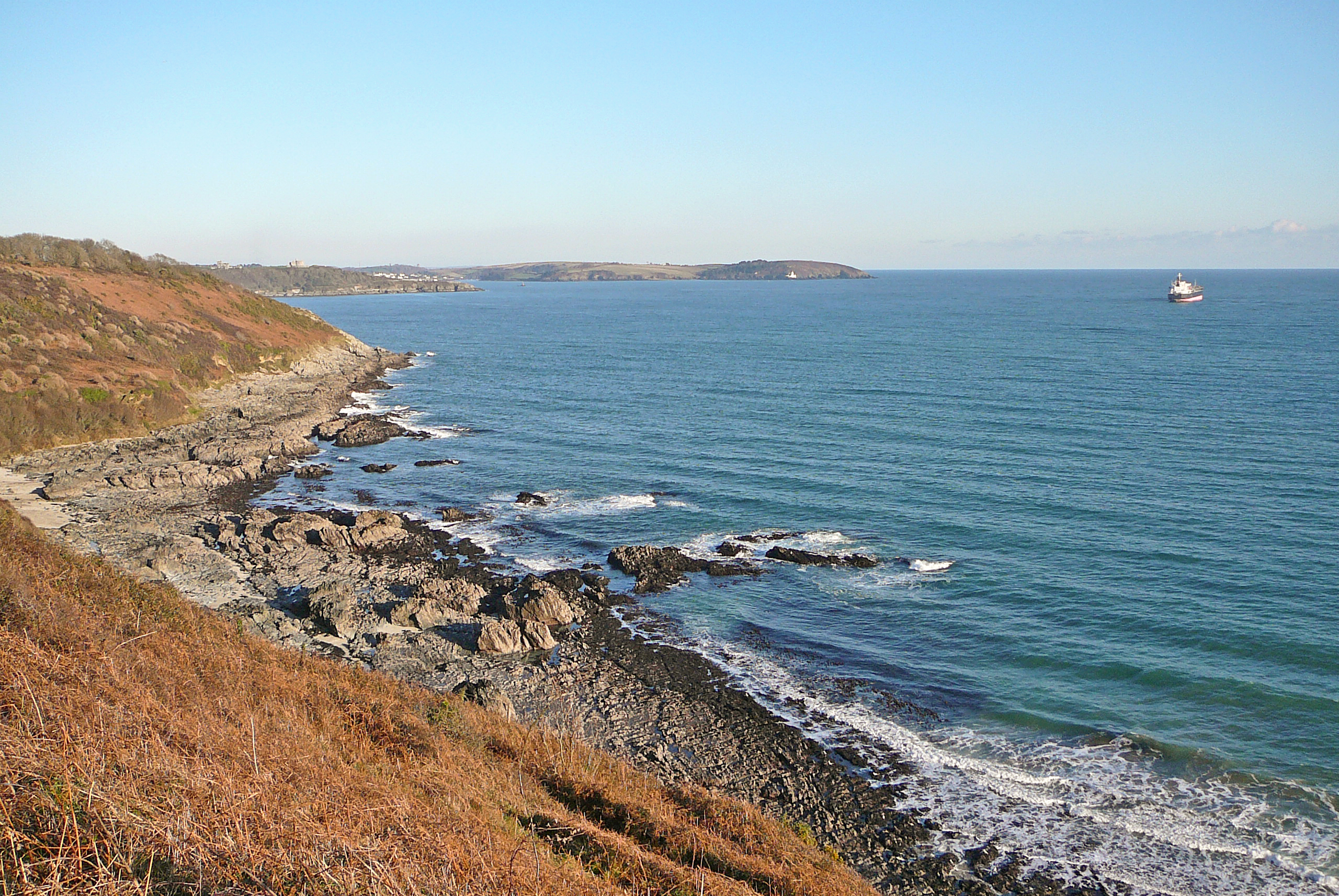
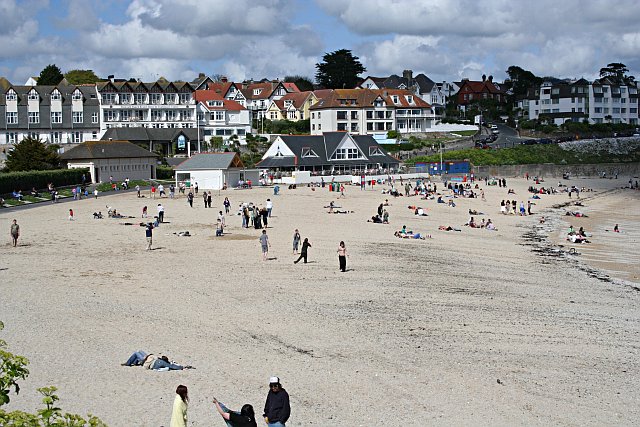
Newporth Head is a prominent coastal feature located in Cornwall, England. It is a picturesque headland and point jutting out into the Atlantic Ocean. Situated near the village of Newporth, this stunning natural landmark offers breathtaking views and is a popular tourist destination.

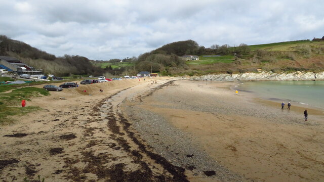
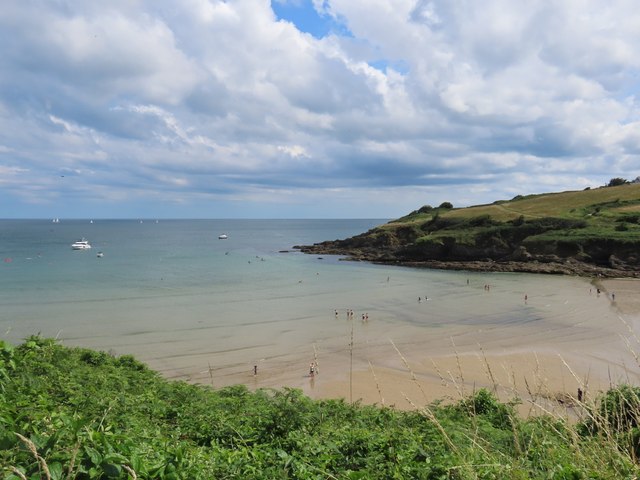
The headland is characterized by its towering cliffs, rugged terrain, and lush vegetation. These cliffs, made of sedimentary rocks, showcase various layers that have been formed over millions of years. The headland is also known for its rocky shoreline and small secluded coves, which provide a haven for wildlife and marine species.

Newporth Head offers visitors a chance to experience the dramatic coastal scenery that Cornwall is renowned for. The elevated position of the headland allows for panoramic vistas of the surrounding ocean, sandy beaches, and the nearby coastline. On clear days, it is even possible to spot dolphins, seals, and a variety of seabirds from this vantage point.

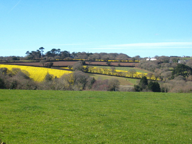
The headland is also home to a number of walking trails that meander through its diverse landscape. These paths provide an opportunity to explore the area's natural beauty, including rare plant species that thrive in this coastal environment. Additionally, Newporth Head is a popular spot for outdoor activities such as rock climbing, birdwatching, and photography.

Whether it's admiring the stunning views, exploring the rugged terrain, or immersing oneself in the rich natural habitats, a visit to Newporth Head is an unforgettable experience. It is a true gem of Cornwall's coastline, offering a glimpse into the region's geological history and providing a tranquil escape for nature lovers.

If you have any feedback on the listing, please let us know in the comments section below.

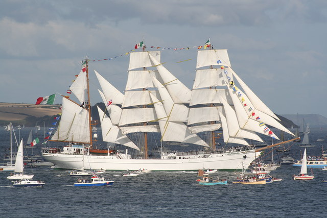
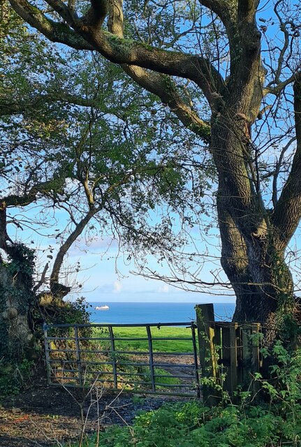
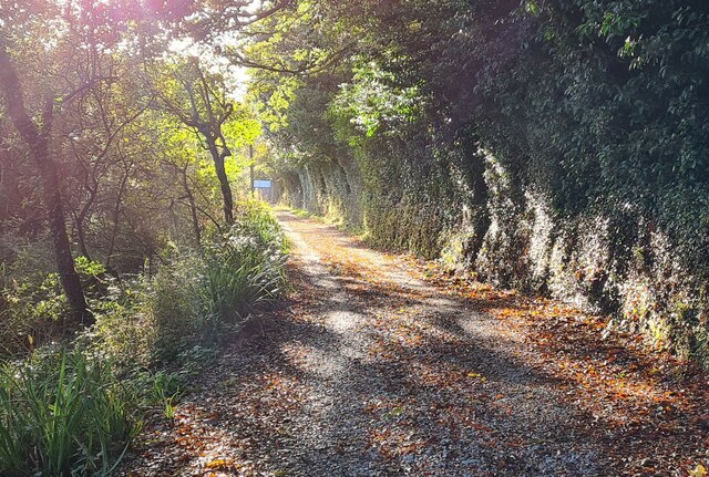
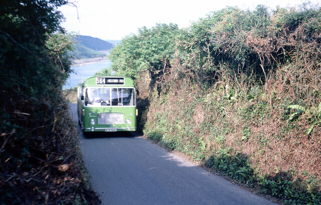
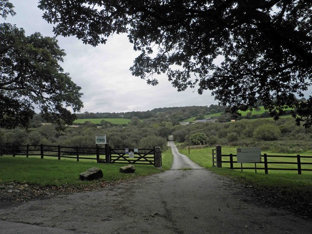
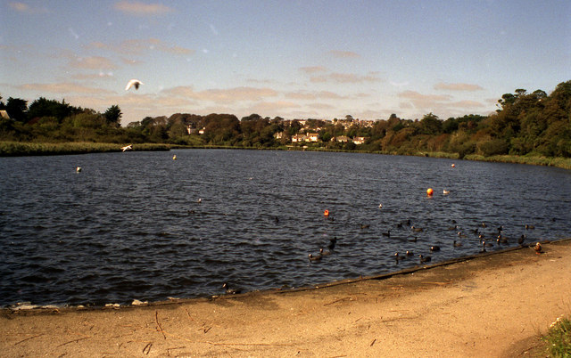
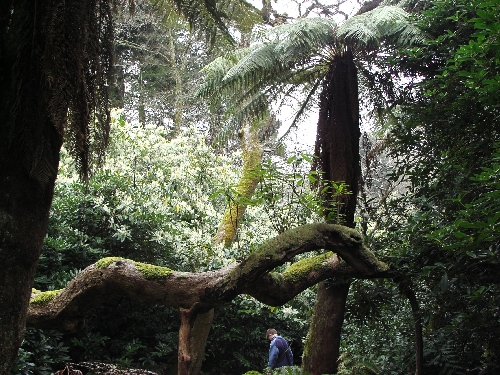
Newporth Head Images

Images are sourced within 2km of 50.129761/-5.0816455 or Grid Reference SW7930. Thanks to Geograph Open Source API. All images are credited.

The Mexican tall ship 'Cuauhtemoc' Leaving Falmouth during the 2008 Funchal 500 Tall Ships Regatta.
The Mexican tall ship 'Cuauhtemoc'
Leaving Falmouth during the 2008 Funchal 500 Tall Ships Regatta.
Field gate at Meudon Farm
Autumn afternoon sun on the track in the valley at Maenporth
Western National bus on Maenporth Road Western National bus drivers would have been well used to steering full sized vehicles along narrow Cornish lanes - and usually did so at a brisk pace. Cars and pedestrians were well advised to just get out of the way and here the photographer has had to more or less bury himself in the hedgerow to avoid a Bristol RE storming up the hill from Maenporth beach. In 1977 the 564 ran this way three times a day as a summer only variant of the main service between Falmouth and Helford Passage. The bus itself, ATA764L, would have been about five years old at the time and remained with Western National until 1986 when it was sold to Chase of Chasetown in Staffordshire; it subsequently moved on to Express Motors of Bontnewydd before being scrapped following an accident in 1990.
Western National bus on Maenporth Road
Western National bus drivers would have been well used to steering full sized vehicles along narrow Cornish lanes - and usually did so at a brisk pace. Cars and pedestrians were well advised to just get out of the way and here the photographer has had to more or less bury himself in the hedgerow to avoid a Bristol RE storming up the hill from Maenporth beach. In 1977 the 564 ran this way three times a day as a summer only variant of the main service between Falmouth and Helford Passage. The bus itself, ATA764L, would have been about five years old at the time and remained with Western National until 1986 when it was sold to Chase of Chasetown in Staffordshire; it subsequently moved on to Express Motors of Bontnewydd before being scrapped following an accident in 1990.
Beach at Maenporth near Falmouth
View along the coast from Rosemullion Head
Maenporth Beach
Maenporth Beach
Field at Roscarrack Looking across Maen Valley to daffodil fields at Budock.
Field at Roscarrack
Looking across Maen Valley to daffodil fields at Budock.
Sunny Cove Looking down from the coastal path towards Sunny Cove, backed by Newporth Head.  In the distance , left, is our first view of Rosemullion Head <a href="https://www.geograph.org.uk/gridref/SW7927">SW7927</a>
Sunny Cove
Looking down from the coastal path towards Sunny Cove, backed by Newporth Head. In the distance , left, is our first view of Rosemullion Head SW7927
Coast path at Newporth Head The three points in the distance are, from near to far, Rosemullion Head <a href="https://www.geograph.org.uk/gridref/SW7927">SW7927</a>, Nare Point <a href="https://www.geograph.org.uk/gridref/SW7925">SW7925</a> and Manacle Point <a href="https://www.geograph.org.uk/gridref/SW8121">SW8121</a>.  The kissing gate we are going through has a number of extra bands of metal to strengthen it.
Coast path at Newporth Head
The three points in the distance are, from near to far, Rosemullion Head SW7927, Nare Point SW7925 and Manacle Point SW8121. The kissing gate we are going through has a number of extra bands of metal to strengthen it.
Swanpool Road northeast of Trelevra Farm
Maenporth Road approaches entrance to Tregedna Farm
South West coast path near Newporth Head
Falmouth garden centre entrance on Swanpool Road
Bus stop on Pennance Hill
Farm track (and bridleway) to Tregedna Farm
Bend ahead on Carlidnack Road
Footbridge across Penjerrick Hill
Show me another place!

Newporth Head is located at Grid Ref: SW7930 (Lat: 50.129761, Lng: -5.0816455)

Unitary Authority: Cornwall

Police Authority: Devon and Cornwall

What 3 Words

///stale.remote.clouds. Near Falmouth, Cornwall

Related Wikis

Maenporth

Maenporth (Cornish: Meyn Borth, meaning stones cove) is a cove and beach in west Cornwall, England. It is situated approximately two miles (3 km) south...

Swanpool, Cornwall

Swanpool (Cornish: Lynyeyn Pryskelow, meaning cold pool of the elm thicket) is a small coastal saline lagoon with a shingle bar, separating it from the...

Falmouth Bay

Falmouth Bay is a body of water off the south coast of Cornwall, England, United Kingdom, with Rosemullion Head and Pendennis Point as its extremities...

Boslowick

Boslowick (Cornish: Boselewydh) is a suburb on the western edge of Falmouth within Cornwall, England, United Kingdom.Boslowick may derive its name from...

Bareppa

Bareppa is a hamlet in west Cornwall, England, United Kingdom, three miles (5 km) southwest of Falmouth. It is in the civil parish of Mawnan. == References... ==

Penjerrick Garden

Penjerrick Garden -- often referred to as "Cornwall's true jungle garden"—lies between Budock Water and Mawnan Smith, near Falmouth, United Kingdom. Established...

Gyllyngvase

Gyllyngvase (; Cornish: An Gilen Vas, meaning the shallow inlet) is one of the four beaches associated with Falmouth, Cornwall, England, in the United...

Carlidnack

Carlidnack (or Carlinack) is a hamlet in the parish of Mawnan, Cornwall, England. Carlidnack lies 2.7 miles (4.3 km) south-west of Falmouth on a road...

Related Videos

EXPOSED! Victorian SECRETS of FALMOUTH Cornwall Nostalgic walk

In our video we take a deep delve into the history of Falmouth's Victorian brothels. With many women engaged in the oldest ...

Holiday Trip to the Coast of Cornwall | Falmouth | Pendennis 4k (HD)

Planning your next holiday trip? Here is a short preview of the coast of Cornwall when I went to visit for the summer holidays.

Falmouth Staycation & Ferry Trip to St Mawes (SO Beautiful!) Cornwall Travel Vlog

GET OUR GUIDE: Cornwall Mini Travel Guide: https://stan.store/CJExplores ♥️ We're in Falmouth, Cornwall, for a little ...

Nearby Amenities

Located within 500m of 50.129761,-5.0816455
Newporth Head
Is In: Cornwall, England, UK
Place: locality
Lat/Long: 50.1294234/-5.0802582
Barrier: kissing_gate
Source: survey;gps
Lat/Long: 50.1308813/-5.0826185
Arthur's Beach (Sunny Cove)
Description: Naturist Beach
Natural: beach
Website: https://www.cornwall-beaches.co.uk/helston-lizard-falmouth/sunny-cove.htm
Lat/Long: 50.132726/-5.0793335
The data included in this document is from www.openstreetmap.org. The data is made available under ODbL.

Have you been to Newporth Head?

Leave your review of Newporth Head below (or comments, questions and feedback).