An t-Sròn

Coastal Feature, Headland, Point in Ross-shire

Scotland

An t-Sròn

Loch Reag
Loch Reag Credit: Matthew Chadwick

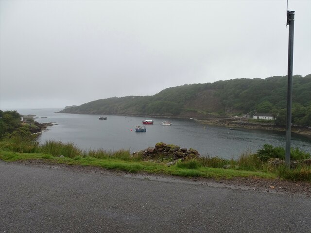
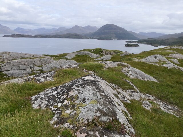
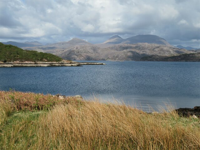
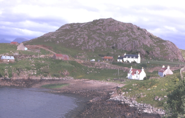
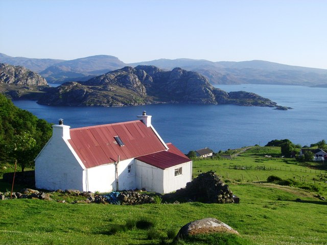
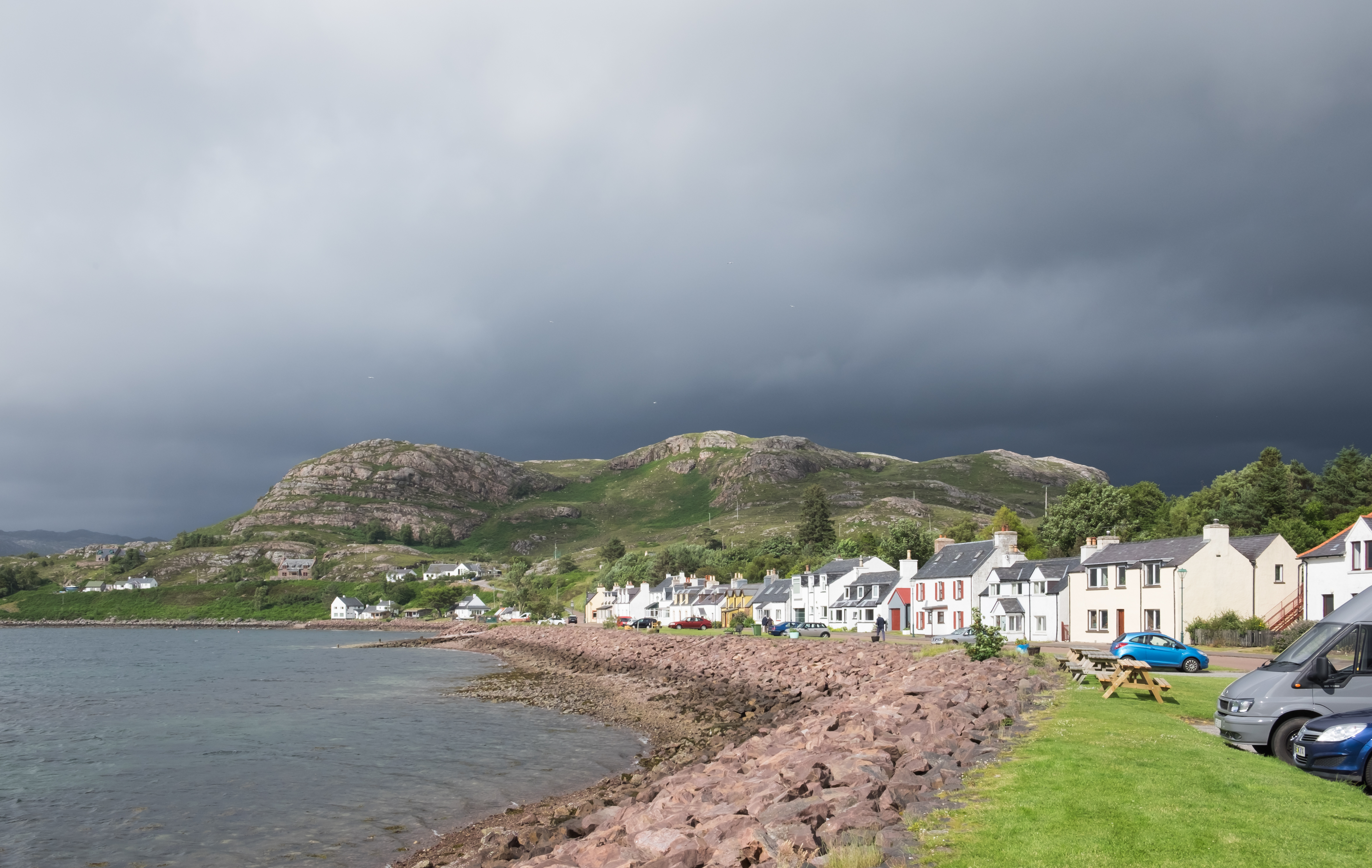
An t-Sròn, located in Ross-shire, Scotland, is a prominent coastal feature known for its stunning headland and point. It is situated on the western coast of Scotland, overlooking the North Atlantic Ocean. An t-Sròn is a Gaelic name meaning "the nose," which perfectly describes its unique geographical shape.

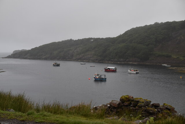
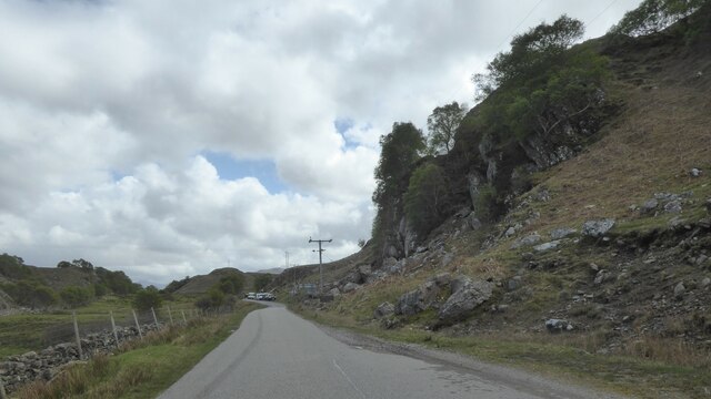
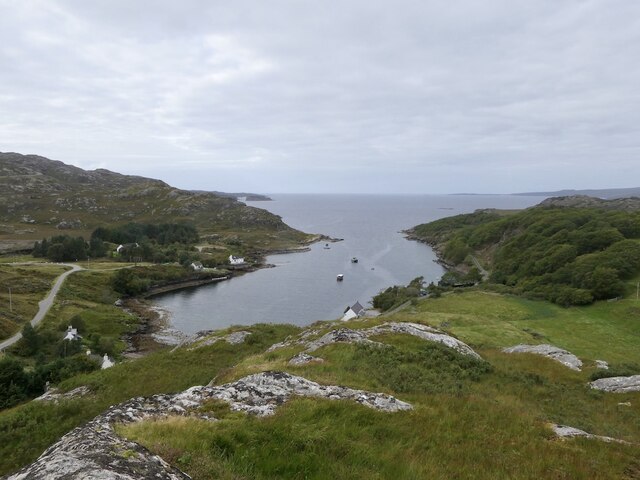
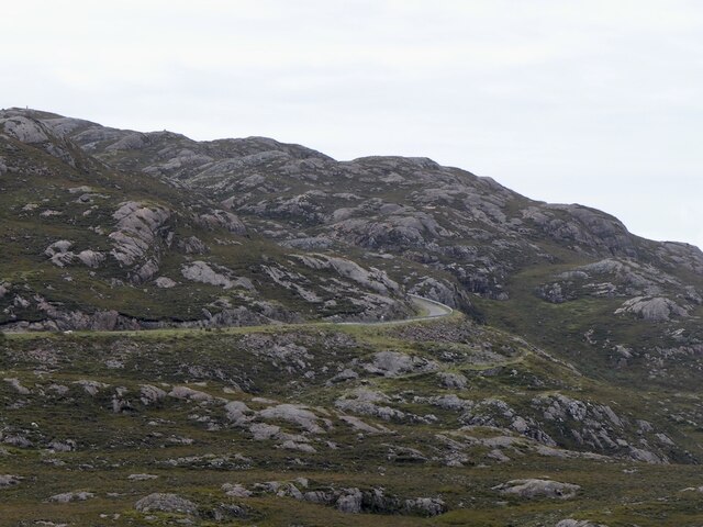
The headland of An t-Sròn stretches out into the ocean, forming a dramatic and picturesque point. Its jagged cliffs rise high above the water, providing a breathtaking view of the surrounding landscape. The headland is composed of ancient rocks, primarily sandstone and limestone, which have been shaped by centuries of coastal erosion.

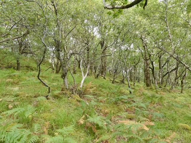
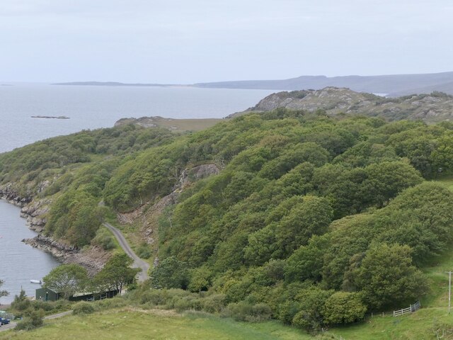
The area surrounding An t-Sròn is rich in wildlife and natural beauty. Seabirds such as gannets, puffins, and kittiwakes can be spotted nesting on the cliffs, while seals and occasionally dolphins can be seen swimming in the waters below. The coastal vegetation is diverse, with grasses, heather, and wildflowers adding vibrant colors to the landscape.

An t-Sròn is not only a haven for nature enthusiasts but also holds historical significance. The headland is home to archaeological remains dating back to the Iron Age, including ancient stone structures and burial sites. These remnants provide valuable insights into the area's past and the lives of its early inhabitants.

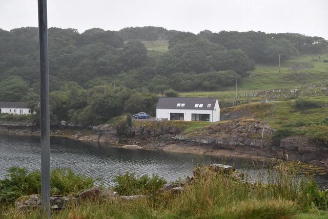
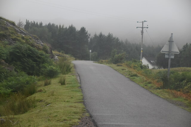
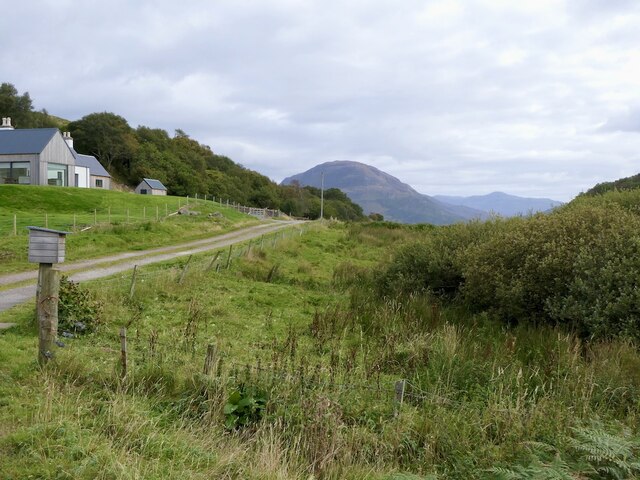
Visitors to An t-Sròn can enjoy scenic walks along the headland, taking in the breathtaking views and immersing themselves in the tranquility of the surroundings. The rugged beauty of this coastal feature attracts tourists from far and wide, making it a must-visit destination for those seeking a true Scottish coastal experience.

If you have any feedback on the listing, please let us know in the comments section below.
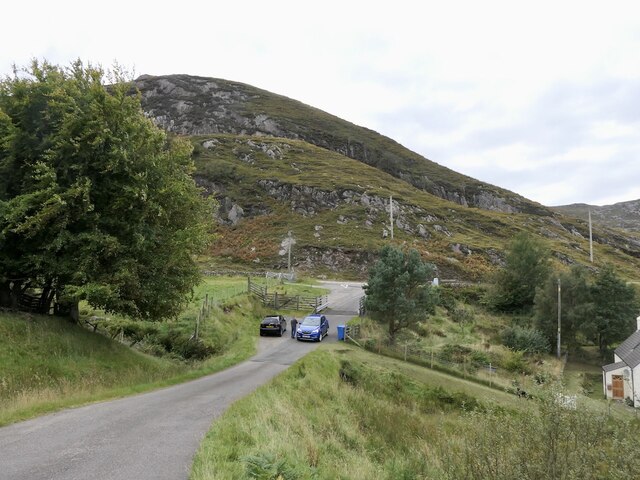
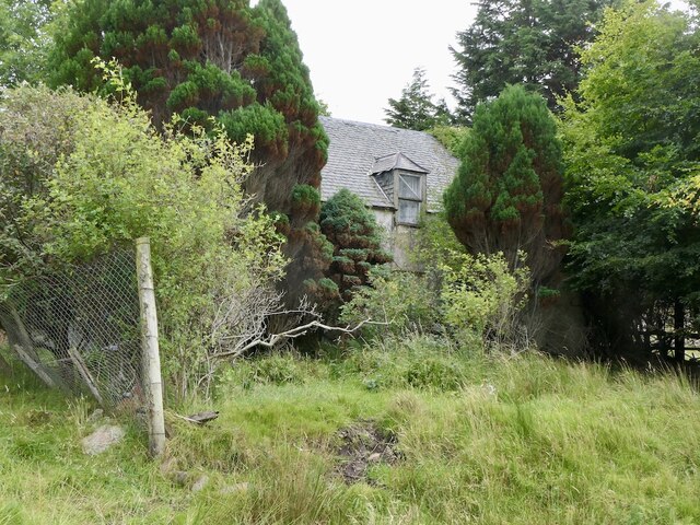
An t-Sròn Images

Images are sourced within 2km of 57.545962/-5.7214775 or Grid Reference NG7756. Thanks to Geograph Open Source API. All images are credited.

Loch Beag
Loch Beag
Loch Beag
Loch Beag
Applecross coast road The road connecting Applecross to Shieldaig was built in the late 1960s and early 1970s, partly to give access to the BUTEC military site at Sand, and partly to sustain the dwindling crofting communities scattered along the coast.  Prior to its construction, access was by sea or footpath only, and the postman had a 20-mile walk three times a week.

The western part is much straighter and smoother than the northern part which goes across the grain of the sandstone, and also through an area of rough igneous rock.

The section between Shieldaig junction and Kenmore was opened on 11 May 1970 by Princess Margaret, Countess of Snowdon.
Applecross coast road
The road connecting Applecross to Shieldaig was built in the late 1960s and early 1970s, partly to give access to the BUTEC military site at Sand, and partly to sustain the dwindling crofting communities scattered along the coast. Prior to its construction, access was by sea or footpath only, and the postman had a 20-mile walk three times a week. The western part is much straighter and smoother than the northern part which goes across the grain of the sandstone, and also through an area of rough igneous rock. The section between Shieldaig junction and Kenmore was opened on 11 May 1970 by Princess Margaret, Countess of Snowdon.
North Applecross coast road near Ardheslaig
Tin roof Ardheslaig Galvanising, when the zinc metal runs out.
Tin roof Ardheslaig
Galvanising, when the zinc metal runs out.
Ardheslaig
Ardheslaig
Oak wood, Ardheslaig
Road into Ardheslaig
Derelict house, Ardheslaig
Summit, Meall an Doire Dhuibh A fine gneiss peak, although just 68m above sea level. There is a very good view for little effort. The land is grazed by cattle.
Summit, Meall an Doire Dhuibh
A fine gneiss peak, although just 68m above sea level. There is a very good view for little effort. The land is grazed by cattle.
Fish farm, Ardheslaig
Loch Beag, Ardheslaig
The "new" road to Applecross Built in the 1970s as an alternative to the Bealach na Bà.
The "new" road to Applecross
Built in the 1970s as an alternative to the Bealach na Bà.
Oak woods, Ardheslaig There has been work to expand the woodlands over the Aird peninsula.
Oak woods, Ardheslaig
There has been work to expand the woodlands over the Aird peninsula.
Salmon farm, Ardheslaig
Tin roof, Ardheslaig An old building which would have been previously thatched.
Tin roof, Ardheslaig
An old building which would have been previously thatched.
Loch a' Chracaich The loch is an inlet off the much larger Loch Torridon. The more distant view ranges from the crinkly ridge of Baosbheinn on the far left, the small dome of An Ruadh-mheallan left of centre and the twin tops of Beinn Alligin, a double Munro in the centre-right.
Loch a' Chracaich
The loch is an inlet off the much larger Loch Torridon. The more distant view ranges from the crinkly ridge of Baosbheinn on the far left, the small dome of An Ruadh-mheallan left of centre and the twin tops of Beinn Alligin, a double Munro in the centre-right.
Show me another place!

An t-Sròn is located at Grid Ref: NG7756 (Lat: 57.545962, Lng: -5.7214775)

Unitary Authority: Highland

Police Authority: Highlands and Islands

What 3 Words

///elbowing.colonies.plantings. Near Gairloch, Highland

Nearby Locations

An t-Sròn Loch Beag

Related Wikis

Ardheslaig

Ardheslaig (Scottish Gaelic: Àird Heisleag) is a crofting settlement at the northern end of the Applecross peninsula in the Scottish Highlands. It is 3...

Diabaig

Diabaig (Scottish Gaelic: Dìobaig) is a remote coastal fishing and crofting township in Wester Ross, in the Northwest Highlands of Scotland. Diabaig lies...

Loch Torridon

Loch Torridon (Scottish Gaelic: Loch Thoirbheartan) is a sea loch on the west coast of Scotland in the Northwest Highlands. The loch was created by glacial...

Shieldaig

Shieldaig (Scottish Gaelic: Sìldeag; Old Norse: síld-vík, lit. 'herring bay') is a village in Wester Ross in the Northwest Highlands, in the Scottish council...

Nearby Amenities

Located within 500m of 57.545962,-5.7214775
Loch Beag
Natural: bay
Lat/Long: 57.5450682/-5.7144712
The data included in this document is from www.openstreetmap.org. The data is made available under ODbL.

Have you been to An t-Sròn?

Leave your review of An t-Sròn below (or comments, questions and feedback).