Sròn nan Gabhar

Coastal Feature, Headland, Point in Ross-shire

Scotland

Sròn nan Gabhar

Trigpoint, Meall na h-Airde Looking north-east towards Gairloch
Trigpoint, Meall na h-Airde Credit: Becky Williamson

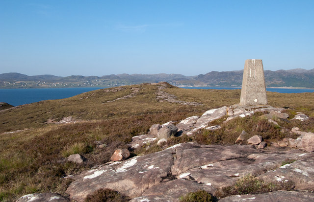
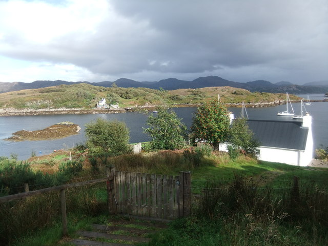
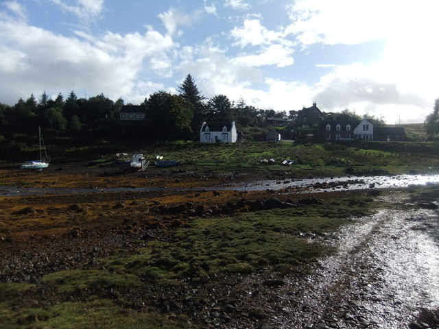
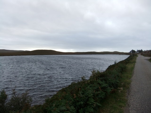
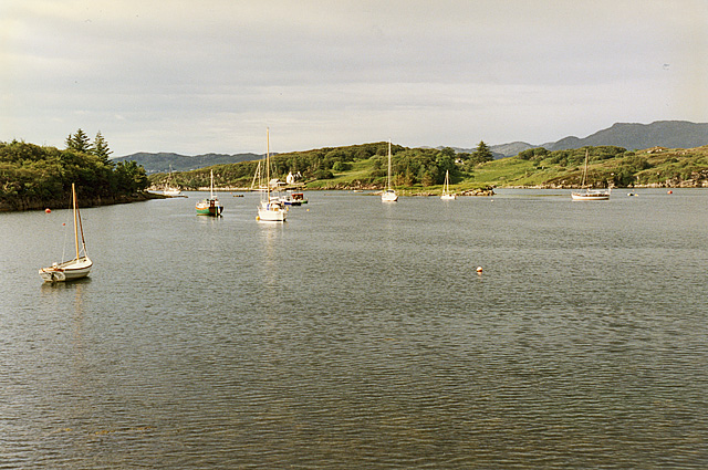
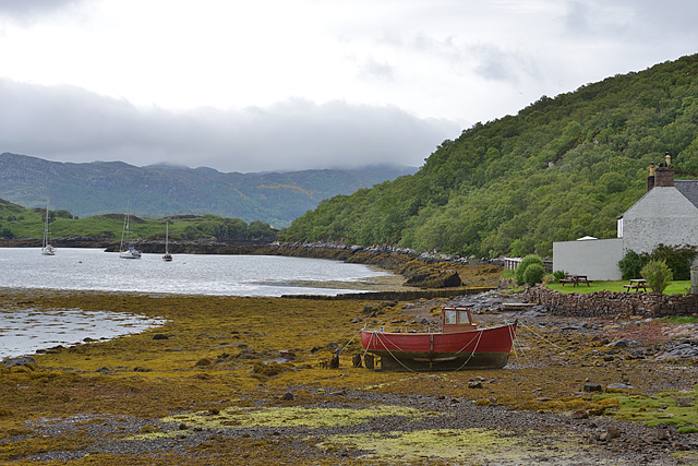
Sròn nan Gabhar is a prominent coastal feature located in Ross-shire, Scotland. This headland, also known as Goat's Nose, juts out into the North Sea, offering stunning views of the surrounding coastline and sea.

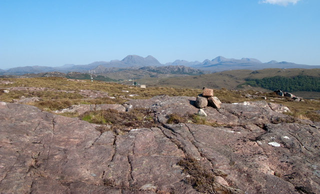
The headland is characterized by its rugged cliffs, which rise dramatically from the sea below. These cliffs are home to a variety of seabirds, including puffins, guillemots, and razorbills, making Sròn nan Gabhar a popular spot for birdwatching.

In addition to its natural beauty, Sròn nan Gabhar also has a rich history. The headland is dotted with archaeological sites, including the remains of ancient settlements and burial mounds, providing a glimpse into the area's past.

Visitors to Sròn nan Gabhar can explore the headland on foot, following walking trails that lead along the cliffs and offer panoramic views of the sea. The headland is also a popular spot for fishing, with anglers casting their lines from the cliffs in search of mackerel and other fish.

Overall, Sròn nan Gabhar is a stunning coastal feature that offers both natural beauty and historical intrigue to visitors.

If you have any feedback on the listing, please let us know in the comments section below.

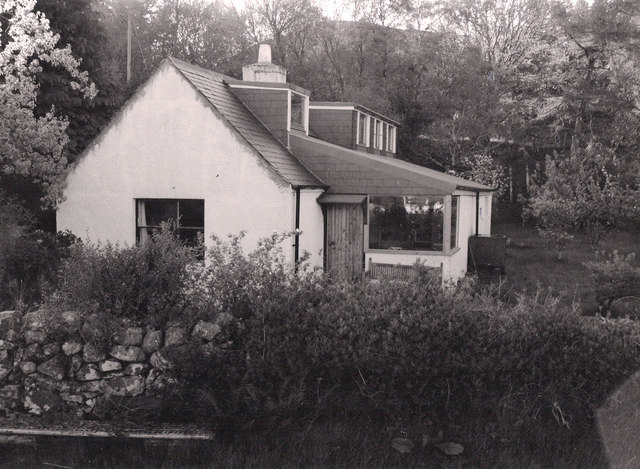
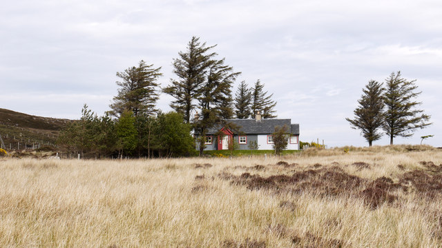
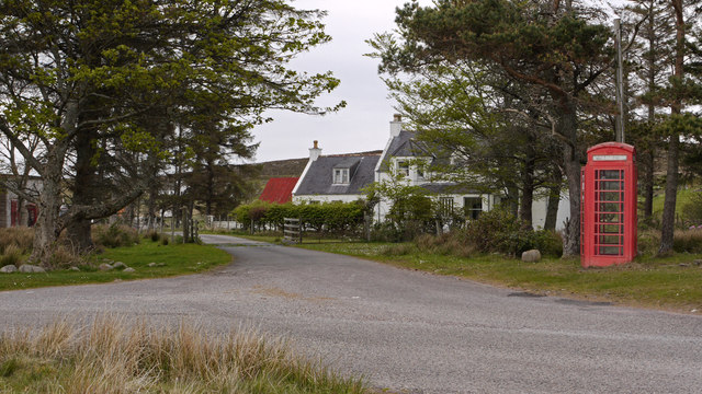
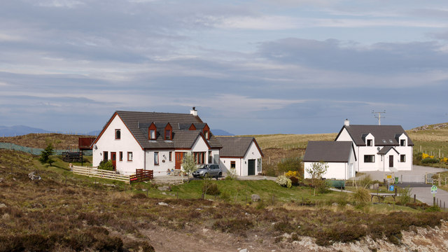
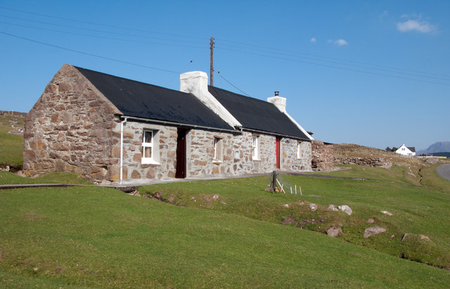
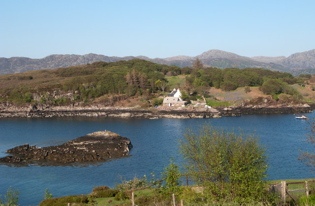
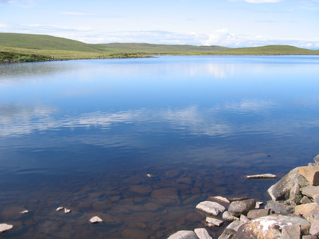
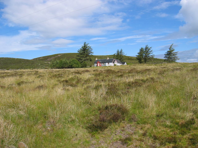
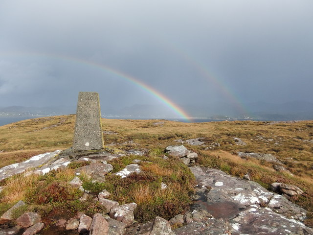
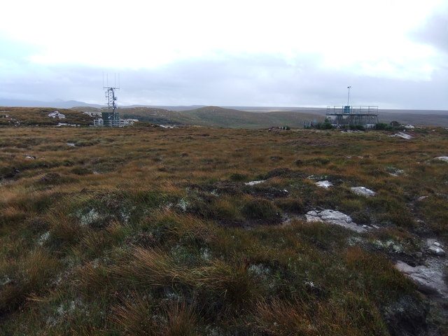
Sròn nan Gabhar Images

Images are sourced within 2km of 57.707828/-5.7393843 or Grid Reference NG7774. Thanks to Geograph Open Source API. All images are credited.

Trigpoint, Meall na h-Airde Looking north-east towards Gairloch
Trigpoint, Meall na h-Airde
Looking north-east towards Gairloch
Aird Cottage
Aird Cottage
Park Cottage Park Cottage is part of the crofting community of Port Henderson, near to Gairloch.
Park Cottage
Park Cottage is part of the crofting community of Port Henderson, near to Gairloch.
Road junction in Port Henderson Port Henderson is a crofting community on the south side of Loch Gairloch. The road crossing the image from left to right is the B8056.
Road junction in Port Henderson
Port Henderson is a crofting community on the south side of Loch Gairloch. The road crossing the image from left to right is the B8056.
New housing at Badachro Badachro is a small village on the south side of Loch Gairloch. The detached houses seen in this image are part of the Coille Dhorch development on what was until recently, moorland.
New housing at Badachro
Badachro is a small village on the south side of Loch Gairloch. The detached houses seen in this image are part of the Coille Dhorch development on what was until recently, moorland.
Cottage at Port Henderson Port Henderson is a crofting community to the south of Loch Gairloch. The cottage is beside a minor road north of the B8056 and appears to have been renovated in recent times; it's doubtful if its present owner(s) follow a crofting life, it being more likely a holiday home now.
Cottage at Port Henderson
Port Henderson is a crofting community to the south of Loch Gairloch. The cottage is beside a minor road north of the B8056 and appears to have been renovated in recent times; it's doubtful if its present owner(s) follow a crofting life, it being more likely a holiday home now.
Sandstone slab with cairn on Meall na h-Airde Meall na h-Airde is a low hill on the south side of Loch Gairloch. Baosbheinn is the distant, prominent mountain at the left side of the image; the Torridon mountains lie to the right of it.
Sandstone slab with cairn on Meall na h-Airde
Meall na h-Airde is a low hill on the south side of Loch Gairloch. Baosbheinn is the distant, prominent mountain at the left side of the image; the Torridon mountains lie to the right of it.
Trig point of Meall na h-Airde Meall na h-Airde is a low hill on the south side of Loch Gairloch. Sandstone ribs run away from the pillar towards the loch.
Trig point of Meall na h-Airde
Meall na h-Airde is a low hill on the south side of Loch Gairloch. Sandstone ribs run away from the pillar towards the loch.
Eilean Horrisdale Eilean Horrisdale as seen from Aird, to the west.
Eilean Horrisdale
Eilean Horrisdale as seen from Aird, to the west.
Loch Bad na h-Achlaise
Park Cottage near Port Henderson
Double rainbow , Meall na h-Airde
Mast and reservoir on Meall na h-Airde
Eilean Horrisdale
Eilean Horrisdale
Badachro
Badachro
Loch bad na h-Aclaise
Badachro Bay A small, but sheltered, anchorage.
Badachro Bay
A small, but sheltered, anchorage.
Badachro shoreline, boat and pub With the Badachro Inn on the right.
Badachro shoreline, boat and pub
With the Badachro Inn on the right.
Show me another place!

Sròn nan Gabhar is located at Grid Ref: NG7774 (Lat: 57.707828, Lng: -5.7393843)

Unitary Authority: Highland

Police Authority: Highlands and Islands

What 3 Words

///stung.scrap.premiums. Near Gairloch, Highland

Related Wikis

Gair Loch

The Gair Loch is a sea loch on the North West coast of Highland, Scotland. In Scottish Gaelic it is an Geàrr Loch meaning 'the short loch'. Around 6 miles...

Eilean Horrisdale

Eilean Horrisdale is an uninhabited island in Loch Gairloch in Wester Ross, Scotland. == Geography == Eilean Horrisdale is the largest island in Loch Gairloch...

Badachro

Badachro (Scottish Gaelic: Bad a' Chrò) is a former fishing village, in the northwest Highlands of Scotland. == Geography == Badachro sits about 3 km south...

Port Henderson

Port Henderson (Scottish Gaelic: Portaigil) is a fishing village on the south west shore of the Gair Loch near the village of Gairloch, Ross-shire, Scottish...

Nearby Amenities

Located within 500m of 57.707828,-5.7393843
Source: PGS
Lat/Long: 57.7061487/-5.7317353
Created By: almien_coastlines
Source: PGS
Lat/Long: 57.706397/-5.731902
Created By: almien_coastlines
Source: PGS
Lat/Long: 57.706642/-5.732399
Created By: almien_coastlines
Source: PGS
Lat/Long: 57.706888/-5.732896
Created By: almien_coastlines
Source: PGS
Lat/Long: 57.707006/-5.733383
Created By: almien_coastlines
Source: PGS
Lat/Long: 57.707517/-5.733422
Created By: almien_coastlines
Source: PGS
Lat/Long: 57.707624/-5.734387
Created By: almien_coastlines
Source: PGS
Lat/Long: 57.707603/-5.735342
Created By: almien_coastlines
Source: PGS
Lat/Long: 57.707593/-5.73582
Created By: almien_coastlines
Source: PGS
Lat/Long: 57.707828/-5.736795
Created By: almien_coastlines
Source: PGS
Lat/Long: 57.708073/-5.737292
Created By: almien_coastlines
Source: PGS
Lat/Long: 57.708319/-5.737789
Created By: almien_coastlines
Source: PGS
Lat/Long: 57.708277/-5.7397
Created By: almien_coastlines
Source: PGS
Lat/Long: 57.708001/-5.740636
Created By: almien_coastlines
Source: PGS
Lat/Long: 57.707714/-5.74205
Created By: almien_coastlines
Source: PGS
Lat/Long: 57.707448/-5.742508
Created By: almien_coastlines
Source: PGS
Lat/Long: 57.707438/-5.742986
Created By: almien_coastlines
Source: PGS
Lat/Long: 57.707683/-5.743483
Created By: almien_coastlines
Source: PGS
Lat/Long: 57.707662/-5.744438
Created By: almien_coastlines
Source: PGS
Lat/Long: 57.707344/-5.747285
The data included in this document is from www.openstreetmap.org. The data is made available under ODbL.

Have you been to Sròn nan Gabhar?

Leave your review of Sròn nan Gabhar below (or comments, questions and feedback).