Galphay

Settlement in Yorkshire Harrogate

England

Galphay

A footpath towards Woodhouse Farm
A footpath towards Woodhouse Farm Credit: Ian S

Galphay is a small village located in the Harrogate district of North Yorkshire, England. Situated approximately 5 miles north-west of the town of Ripon, Galphay is nestled in the picturesque Nidderdale Area of Outstanding Natural Beauty.

With a population of around 150, Galphay is a quintessential English village known for its tranquil and idyllic setting. The village is characterized by its charming stone cottages, well-manicured gardens, and peaceful atmosphere. Surrounded by rolling hills and lush green fields, Galphay offers breathtaking views of the surrounding countryside.

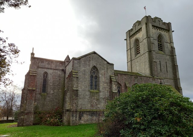
The heart of the village is St. Mary's Church, a Grade II listed building dating back to the 13th century. The church features a beautiful stained glass window and a peaceful churchyard, making it a popular spot for visitors seeking a moment of tranquility.

Despite its small size, Galphay has a strong sense of community. The village has a well-regarded primary school and a village hall which hosts a variety of activities and events throughout the year, including community gatherings, clubs, and fairs.

Galphay's location in the Nidderdale AONB makes it an ideal base for outdoor enthusiasts. The area offers ample opportunities for hiking, cycling, and exploring the nearby Nidderdale Way. Additionally, the village is within easy reach of the historic city of Ripon, where visitors can explore attractions such as Ripon Cathedral and Fountains Abbey.

In summary, Galphay is a charming and picturesque village in the heart of the Nidderdale AONB, offering a peaceful and close-knit community, stunning natural scenery, and convenient access to nearby attractions.

If you have any feedback on the listing, please let us know in the comments section below.
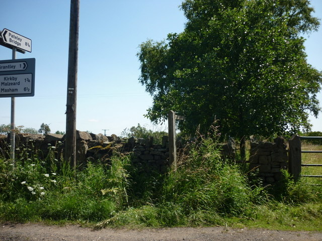
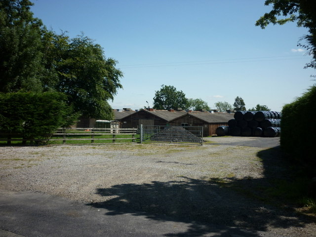
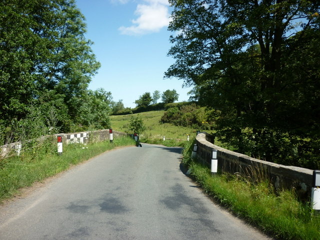
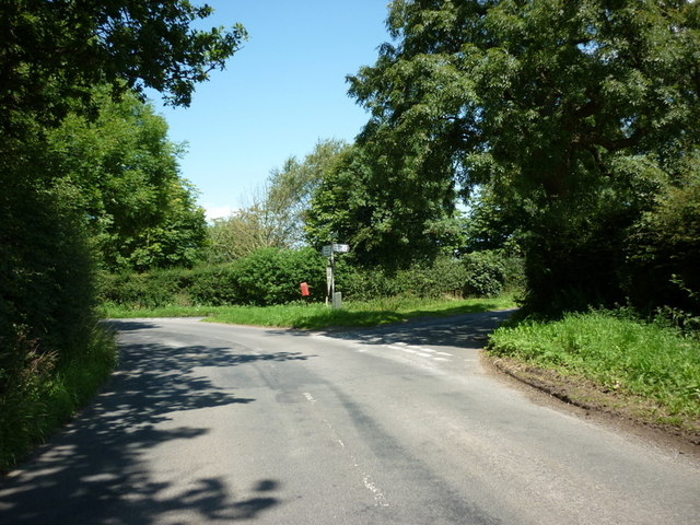
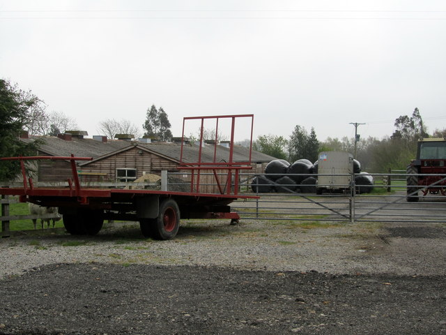
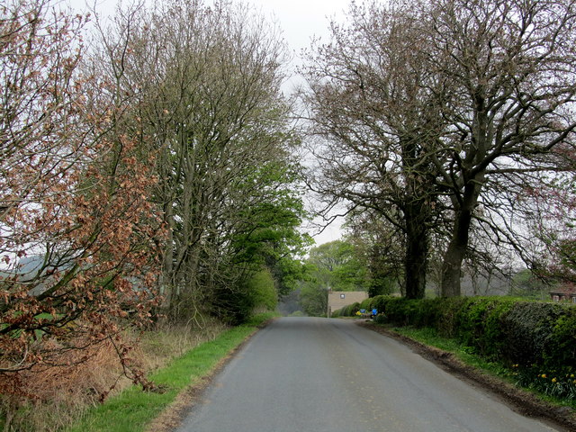
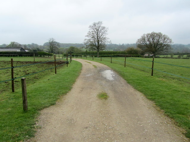
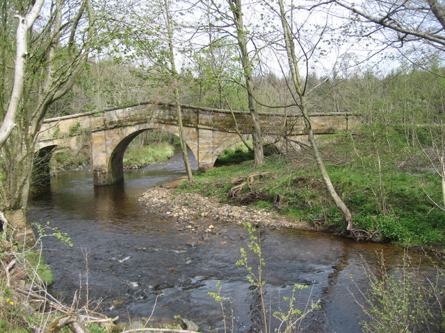
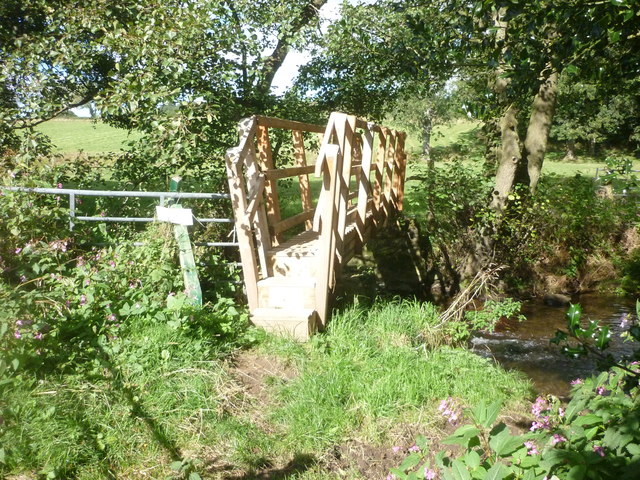
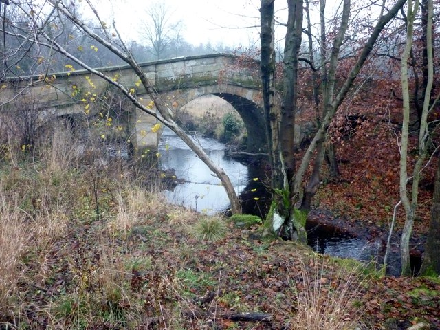
Galphay Images

Images are sourced within 2km of 54.149149/-1.613534 or Grid Reference SE2572. Thanks to Geograph Open Source API. All images are credited.

A footpath towards Woodhouse Farm
Five Gates Farm
Five Gates Farm
A bridge over the River Laver
Gate Bridge Road joins Warren Lane
Entrance to Five Gates Farm Entrance as seen from Gate Bridge Road.
Entrance to Five Gates Farm
Entrance as seen from Gate Bridge Road.
Gate Bridge Road On the road between Grantley and Kirkby Malzeard.
Gate Bridge Road
On the road between Grantley and Kirkby Malzeard.
Entrance to Gate Bridge Farm This particular access lane does not appear on the map, so I assume this is a recent development.
Entrance to Gate Bridge Farm
This particular access lane does not appear on the map, so I assume this is a recent development.
Windy Ridge Farm Farmhouse and buildings as seen from Warren Lane.
Windy Ridge Farm
Farmhouse and buildings as seen from Warren Lane.
Woodhouse Bridge This old stone bridge is a route over the river Laver from Fountains to Winksley or Galphay. Entering Galphay woods and in turn leading to Brathwaite Hall and Kirkby Malzeard. Lovely quiet place to have lunch and listen to the birds etc.
Woodhouse Bridge
This old stone bridge is a route over the river Laver from Fountains to Winksley or Galphay. Entering Galphay woods and in turn leading to Brathwaite Hall and Kirkby Malzeard. Lovely quiet place to have lunch and listen to the birds etc.
Old Disused house An old disused house near to Winksley. The house is basically falling down and certainly not in use today.Just off the path from Galphay Woods to Winksley
Old Disused house
An old disused house near to Winksley. The house is basically falling down and certainly not in use today.Just off the path from Galphay Woods to Winksley
Lake at Braithwaite Hall Ornamental Lake in front of the 16th Century Braithwaite Hall which is passed on the Aislabie Walk.
Lake at Braithwaite Hall
Ornamental Lake in front of the 16th Century Braithwaite Hall which is passed on the Aislabie Walk.
New Footbridge On the route of the Aislabie Walk near Witch-of-the-Woods House a replacement footbridge has been installed.
New Footbridge
On the route of the Aislabie Walk near Witch-of-the-Woods House a replacement footbridge has been installed.
Woodhouse Bridge On the route of the Aislabie Walk long distance footpath
Woodhouse Bridge
On the route of the Aislabie Walk long distance footpath
Mill Farm Azerley Photograph of Mill Farm which is part of the Azerley estate
Mill Farm Azerley
Photograph of Mill Farm which is part of the Azerley estate
Winksley, St Cuthbert and St Oswald church The benchmark is cut into the 2nd course of stone at the rear of the church.
Winksley, St Cuthbert and St Oswald church
The benchmark is cut into the 2nd course of stone at the rear of the church.
Winksley, St Cuthbert and St Oswald There is a benchmark cut into the 2nd course of stone at the rear of the church, on the buttress to the left of the furthest left window.
Winksley, St Cuthbert and St Oswald
There is a benchmark cut into the 2nd course of stone at the rear of the church, on the buttress to the left of the furthest left window.
Winksley, Gate Bridge Road The old barn is on the west side of Gate Bridge Road. There is a benchmark cut into a left cornerstone.
Winksley, Gate Bridge Road
The old barn is on the west side of Gate Bridge Road. There is a benchmark cut into a left cornerstone.
Winksley, Gate Bridge Road The old barn is on the west side of Gate Bridge Road. There is a benchmark cut into a left cornerstone.
Winksley, Gate Bridge Road
The old barn is on the west side of Gate Bridge Road. There is a benchmark cut into a left cornerstone.
Show me another place!

Galphay is located at Grid Ref: SE2572 (Lat: 54.149149, Lng: -1.613534)

Division: West Riding

Administrative County: North Yorkshire

District: Harrogate

Police Authority: North Yorkshire

What 3 Words

///resold.fattening.snooty. Near Ripon, North Yorkshire

Nearby Locations

Galphay

Related Wikis

Galphay

Galphay (traditionally pronounced [ˈgɔ:fə] GAW-fə) is a village in North Yorkshire, England. It is situated in the Nidderdale Area of Outstanding Natural...

Winksley

Winksley is a small village and civil parish in the district of Harrogate, North Yorkshire, England. It is situated west of Ripon, and is on the River...

Cow Myers (wetland)

Cow Myers is a Site of Special Scientific Interest (SSSI) located in the Nidderdale Area of Outstanding Natural Beauty (AONB), near Ripon, North Yorkshire...

Azerley

Azerley is a village and civil parish in the Harrogate district of North Yorkshire, England. It is about 4 miles (6 km) north-west of Ripon. The civil...

Laverton, North Yorkshire

Laverton is a village and civil parish in the Harrogate district of North Yorkshire, England, about 7 miles (11 km) west of Ripon. The population of this...

Kirkby Malzeard

Kirkby Malzeard () is a village and civil parish in the Harrogate district of North Yorkshire, England. There has been a creamery in the village making...

Grantley, North Yorkshire

Grantley is a village (also known as High Grantley) and civil parish in North Yorkshire, England. It lies 5 miles (8 km) west of Ripon. The parish also...

Aldfield

Aldfield is a village and civil parish in the former Harrogate district of North Yorkshire, England, about three miles west of Ripon. It is the closest...

Nearby Amenities

Located within 500m of 54.149149,-1.613534
Galphay
Place: hamlet
Wikidata: Q5519316
Lat/Long: 54.1491242/-1.6145905
Pub
Galphay Inn
Lat/Long: 54.149671/-1.6149769
Bench
Lat/Long: 54.1492179/-1.613194
Telephone
Booth: K6
Covered: booth
Lat/Long: 54.1491487/-1.6139879
Bus Stop
Naptan AtcoCode: 3200YNA90884
Naptan NaptanCode: 32090884
Shelter: yes
Lat/Long: 54.1491582/-1.6138618
Post Box
Post Box Type: lamp
Lat/Long: 54.1497878/-1.6148376
The data included in this document is from www.openstreetmap.org. The data is made available under ODbL.

Have you been to Galphay?

Leave your review of Galphay below (or comments, questions and feedback).