Àird Rainich
Coastal Feature, Headland, Point in Argyllshire
Scotland
Àird Rainich

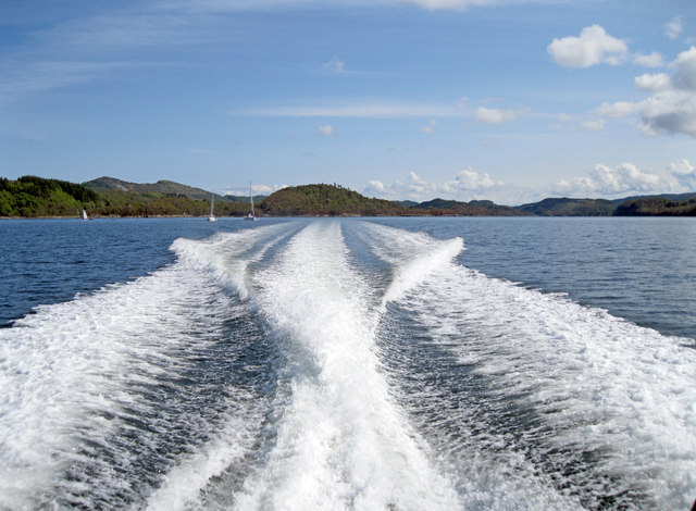
Àird Rainich, located in Argyllshire, is a prominent coastal feature that stands as a striking headland jutting out into the vast Atlantic Ocean. Situated in the western part of Scotland, this point offers breathtaking panoramic views and is renowned for its captivating natural beauty.
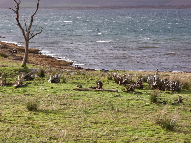
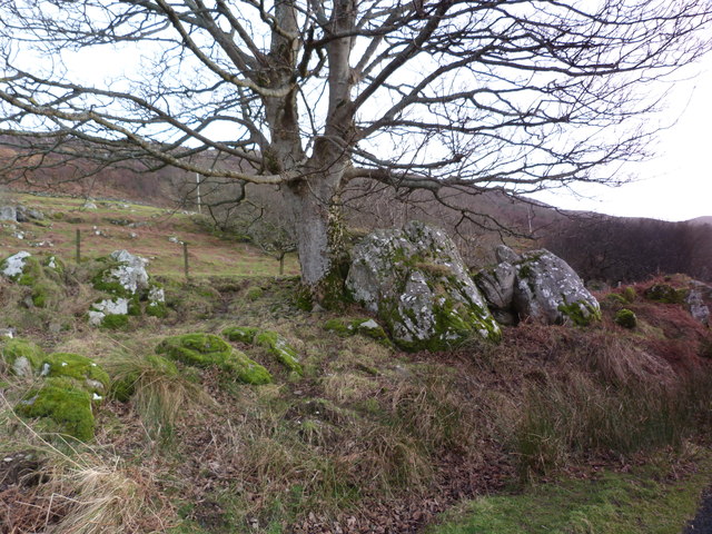
The rugged and rocky terrain of Àird Rainich provides a dramatic backdrop, with its cliffs standing tall against the crashing waves below. The headland is composed of ancient volcanic rocks, which have been shaped and molded by centuries of erosion. This geological marvel is often admired by geologists and nature enthusiasts alike.
The area surrounding Àird Rainich is teeming with diverse wildlife. Seabirds soar overhead, including puffins, gannets, and guillemots, while seals can often be seen basking on nearby rocks. The coastal waters are home to an abundance of marine life, with dolphins and porpoises occasionally spotted frolicking in the distance.
Visitors to Àird Rainich can explore the rugged coastline by following a network of well-maintained walking trails. These trails lead adventurers to hidden coves, secluded beaches, and breathtaking viewpoints. The headland also offers opportunities for fishing, birdwatching, and photography.
Historically, Àird Rainich has been an important landmark for sailors, serving as a navigational reference point. The headland's strategic location has witnessed numerous maritime activities throughout the centuries, including fishing, trade, and even battles during times of conflict.
Overall, Àird Rainich is a captivating coastal feature that showcases the natural wonders of Argyllshire. Its rugged beauty, diverse wildlife, and rich history make it a must-visit destination for those seeking an authentic Scottish experience.
If you have any feedback on the listing, please let us know in the comments section below.
Àird Rainich Images
Images are sourced within 2km of 55.984776/-5.6186165 or Grid Reference NR7482. Thanks to Geograph Open Source API. All images are credited.


Àird Rainich is located at Grid Ref: NR7482 (Lat: 55.984776, Lng: -5.6186165)
Unitary Authority: Argyll and Bute
Police Authority: Argyll and West Dunbartonshire
What 3 Words
///refrained.wool.roost. Near Ardrishaig, Argyll & Bute
Nearby Locations
Related Wikis

Loch Sween
Loch Sween (Scottish Gaelic: Loch Suain or Loch Suibhne) is a sea loch located near Lochgilphead, Argyll and Bute, Scotland. Castle Sween is located on...

Taynish National Nature Reserve
Taynish National Nature Reserve (Scottish Gaelic: Tèarmann Nàdair Nàiseanta Taighnis) is situated southwest of the village of Tayvallich in the council...
Eilean Loain
Eilean Loain is a small island in Loch Sween and one of the Inner Hebrides of Scotland. It is about 2 kilometres (1 mi) west of the settlement of Kilmichael...

Ashfield, Argyll and Bute
Ashfield is a village in the civil parish of North Knapdale, in Knapdale, in the council area of Argyll and Bute, Scotland. It has a sheep farm and cottage...
Tayvallich
Tayvallich (pronounced TAY-vee-AL-ich; Scottish Gaelic: Taigh a' Bhealaich [t̪ʰɤj ə ˈvjal̪ˠɪç]) is a small village in the Knapdale area of Argyll and Bute...

Achnamara
Achnamara (Scottish Gaelic: Achadh na Mara) is a village in the Scottish council area of Argyll and Bute. Its location is approximately 56°1' N 5°34' W...

Keills Chapel
Keills Chapel is a small chapel located in the west Highlands, Scotland, near the village of Tayvallich, Knapdale.The chapel dates from the 11th century...

Island of Danna
The Island of Danna or Danna (Scottish Gaelic: Danna), is an inhabited tidal island in Argyll and Bute. == Geography == It is connected to the mainland...
Nearby Amenities
Located within 500m of 55.984776,-5.6186165Have you been to Àird Rainich?
Leave your review of Àird Rainich below (or comments, questions and feedback).