Àird nam Bùth Beag
Coastal Feature, Headland, Point in Inverness-shire
Scotland
Àird nam Bùth Beag

Àird nam Bùth Beag is a headland located in Inverness-shire, Scotland. It is a coastal feature that juts out into the sea, offering stunning views of the surrounding waters and landscape. The name Àird nam Bùth Beag translates to "point of the small shops" in English, reflecting the area's historical significance as a trading hub.
The headland is characterized by rugged cliffs, rocky shores, and a diverse array of flora and fauna. Visitors to Àird nam Bùth Beag can expect to see a variety of seabirds, marine life, and possibly even seals or dolphins swimming offshore.
The headland is a popular destination for hikers and nature enthusiasts, with several walking trails and viewpoints that offer panoramic vistas of the coastline and nearby islands. The area is also known for its archaeological sites, including ancient ruins and burial mounds that provide insight into the area's rich history.
Overall, Àird nam Bùth Beag is a picturesque and historically significant headland that showcases the natural beauty and cultural heritage of the Scottish Highlands.
If you have any feedback on the listing, please let us know in the comments section below.
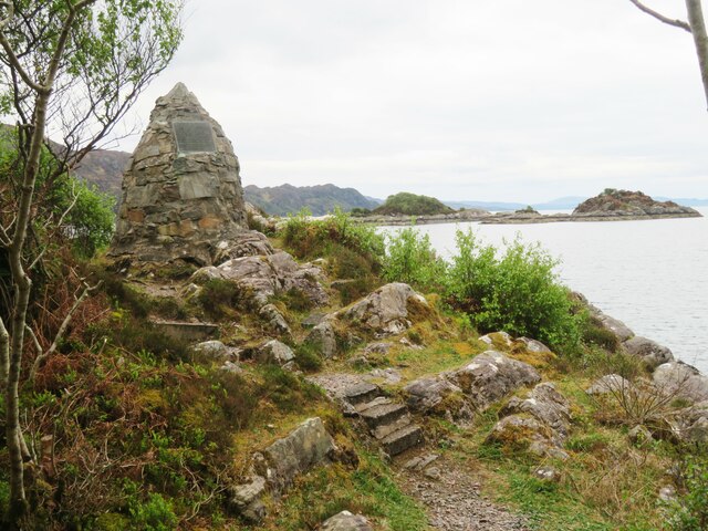
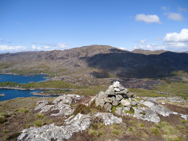
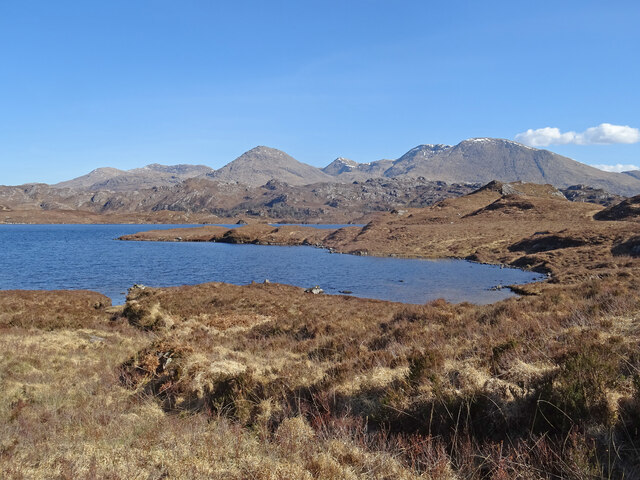
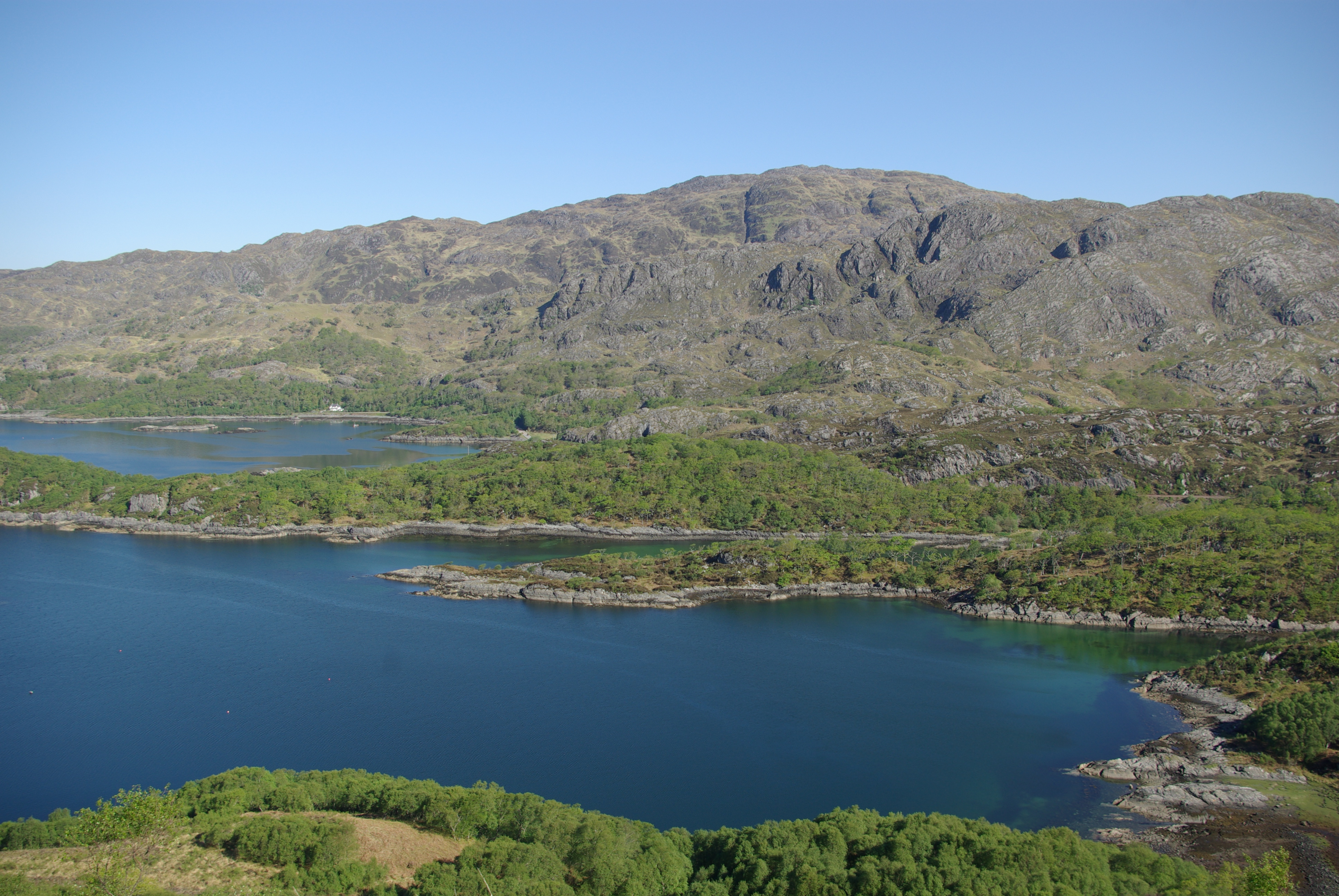
Àird nam Bùth Beag Images
Images are sourced within 2km of 56.887821/-5.7262863 or Grid Reference NM7383. Thanks to Geograph Open Source API. All images are credited.


Àird nam Bùth Beag is located at Grid Ref: NM7383 (Lat: 56.887821, Lng: -5.7262863)
Unitary Authority: Highland
Police Authority: Highlands and Islands
What 3 Words
///weekend.hangs.thickens. Near Arisaig, Highland
Nearby Locations
Related Wikis

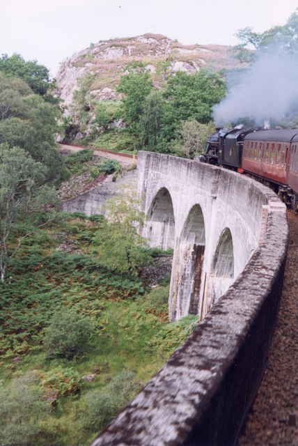
Loch nan Uamh Viaduct
The Loch nan Uamh Viaduct is a railway viaduct in Scotland that carries the West Highland Line. == History == The West Highland Railway was built to Fort...
Loch Beag
Loch Beag is a cove on the west coast of Northern Scotland, in the vicinity of the Sound of Arisaig. The eastern end of the Sound of Arisaig divides into...
Arnabol Viaduct
The Arnabol Viaduct carries the West Highland Line over the Arnabol Burn. == History == The West Highland Railway was built to Fort William by Lucas &...

Beasdale railway station
Beasdale railway station is a railway station serving Glen Beasdale in the Highland region of Scotland. This station is on the West Highland Line, sited...
Nearby Amenities
Located within 500m of 56.887821,-5.7262863Have you been to Àird nam Bùth Beag?
Leave your review of Àird nam Bùth Beag below (or comments, questions and feedback).