Àird nam Bùth
Coastal Feature, Headland, Point in Inverness-shire
Scotland
Àird nam Bùth

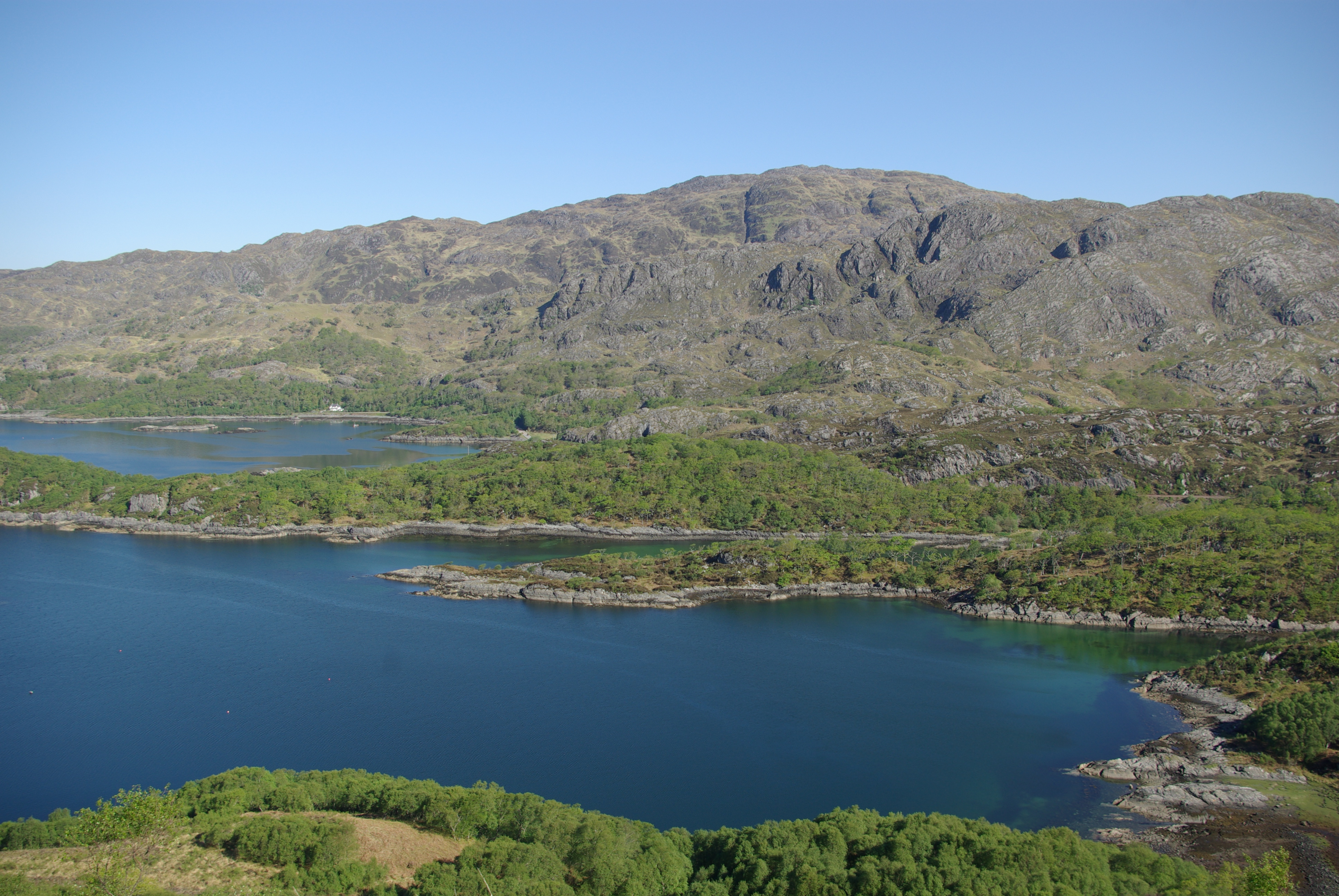
Àird nam Bùth is a prominent coastal feature located in Inverness-shire, Scotland. This headland, also known as Point, is situated on the northern coast of the country, overlooking the North Sea. It is a popular destination for both locals and tourists, offering breathtaking views and a serene atmosphere.
The name Àird nam Bùth translates to "Point of the Shops" in English, reflecting its historical significance as a trading hub. In the past, the headland served as a bustling center for local commerce, with fishermen and merchants conducting their business here. Today, remnants of this past can still be seen in the form of old warehouses and buildings along the shoreline.
The rugged cliffs of Àird nam Bùth provide a dramatic backdrop to the surrounding landscape. The headland is characterized by its rocky terrain, jutting out into the sea and creating a natural barrier against the crashing waves. This makes it a popular spot for birdwatching, as numerous seabirds can be observed nesting along the cliffs.
Visitors to Àird nam Bùth can enjoy leisurely walks along the coastal path, taking in the panoramic views of the sea and the distant horizon. The headland is also a great vantage point for watching the sunset, with the golden hues reflecting off the water creating a truly mesmerizing sight.
Overall, Àird nam Bùth is a captivating coastal feature that offers a unique blend of natural beauty and historical significance. Its stunning cliffs, tranquil atmosphere, and rich heritage make it a must-visit destination for those exploring the Inverness-shire region.
If you have any feedback on the listing, please let us know in the comments section below.
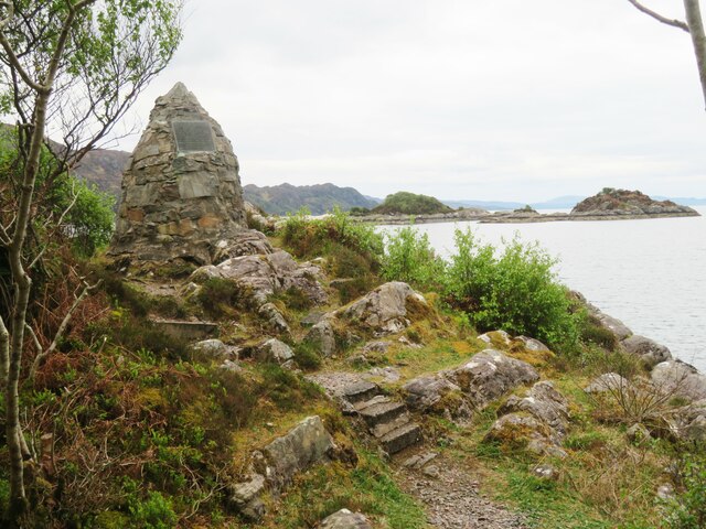
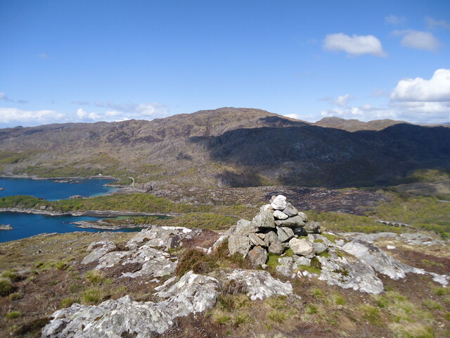
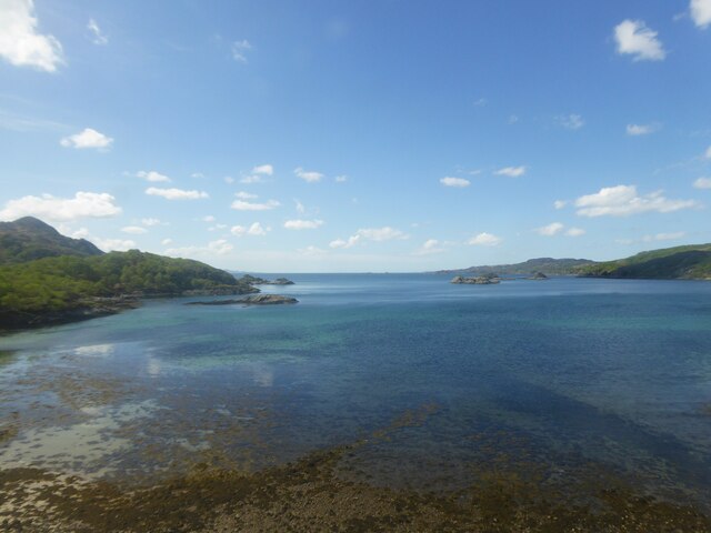
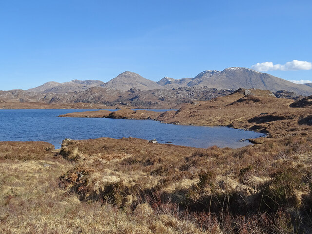
Àird nam Bùth Images
Images are sourced within 2km of 56.889763/-5.7313915 or Grid Reference NM7283. Thanks to Geograph Open Source API. All images are credited.


Àird nam Bùth is located at Grid Ref: NM7283 (Lat: 56.889763, Lng: -5.7313915)
Unitary Authority: Highland
Police Authority: Highlands and Islands
What 3 Words
///friday.contacts.flocking. Near Arisaig, Highland
Nearby Locations
Related Wikis

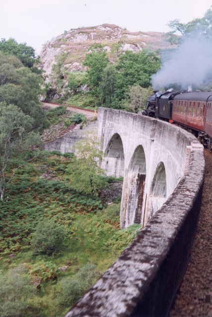
Loch nan Uamh Viaduct
The Loch nan Uamh Viaduct is a railway viaduct in Scotland that carries the West Highland Line. == History == The West Highland Railway was built to Fort...
Loch Beag
Loch Beag is a cove on the west coast of Northern Scotland, in the vicinity of the Sound of Arisaig. The eastern end of the Sound of Arisaig divides into...
Arnabol Viaduct
The Arnabol Viaduct carries the West Highland Line over the Arnabol Burn. == History == The West Highland Railway was built to Fort William by Lucas &...

Beasdale railway station
Beasdale railway station is a railway station serving Glen Beasdale in the Highland region of Scotland. This station is on the West Highland Line, sited...
Nearby Amenities
Located within 500m of 56.889763,-5.7313915Have you been to Àird nam Bùth?
Leave your review of Àird nam Bùth below (or comments, questions and feedback).