Àird na Meacan
Coastal Feature, Headland, Point in Inverness-shire
Scotland
Àird na Meacan
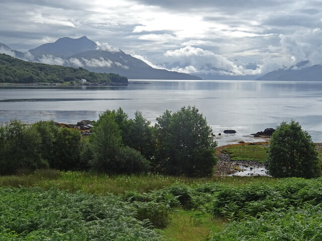
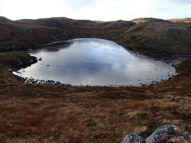
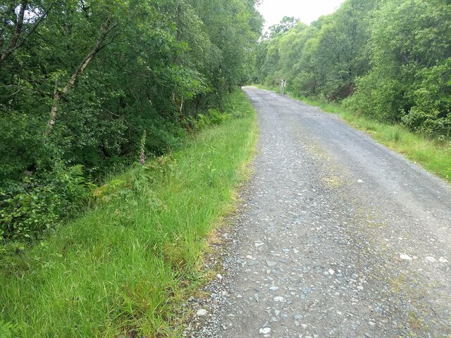
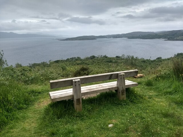
Àird na Meacan is a prominent headland located in Inverness-shire, Scotland. Situated on the coast, it offers stunning views of the surrounding landscape and the nearby body of water. The headland is characterized by its rugged cliffs and rocky terrain, making it a popular destination for hikers and nature enthusiasts.
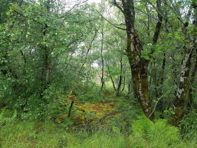
The name Àird na Meacan translates to "Headland of the Nuts" in English, likely referring to the abundance of nut-bearing trees that once grew in the area. Today, the headland is known for its diverse flora and fauna, with a variety of plant species thriving in the coastal environment.
Visitors to Àird na Meacan can enjoy scenic walks along the cliff tops, taking in the sweeping views of the sea and distant mountains. The headland is also a great spot for birdwatching, with seabirds such as gannets and puffins often seen nesting on the cliffs.
Overall, Àird na Meacan is a picturesque and peaceful coastal feature that offers visitors a chance to connect with nature and enjoy the beauty of the Scottish coastline.
If you have any feedback on the listing, please let us know in the comments section below.
Àird na Meacan Images
Images are sourced within 2km of 57.167826/-5.7815095 or Grid Reference NG7114. Thanks to Geograph Open Source API. All images are credited.


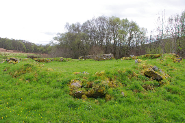
![Ruins at Leitir Fura An abandoned farming village overlooking the Sound of Sleat.
Beinn Chaphuill (centre left), Beinn Sgritheall (centre) and Beinn Mhialairigh (centre right) are in the background.
[Image formed from 2 photos merged together.]](https://s3.geograph.org.uk/geophotos/05/78/96/5789623_9a668b97.jpg)


Àird na Meacan is located at Grid Ref: NG7114 (Lat: 57.167826, Lng: -5.7815095)
Unitary Authority: Highland
Police Authority: Highlands and Islands
What 3 Words
///hung.grower.midwinter. Near Glenelg, Highland
Nearby Locations
Related Wikis

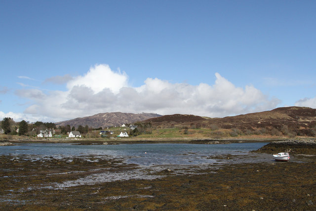
Loch na Dal
Loch na Dal (Scottish Gaelic: Loch na Dalach) is a sea loch on the Sleat Peninsula on the Isle of Skye in the Inner Hebrides of Scotland. Kinloch Lodge...

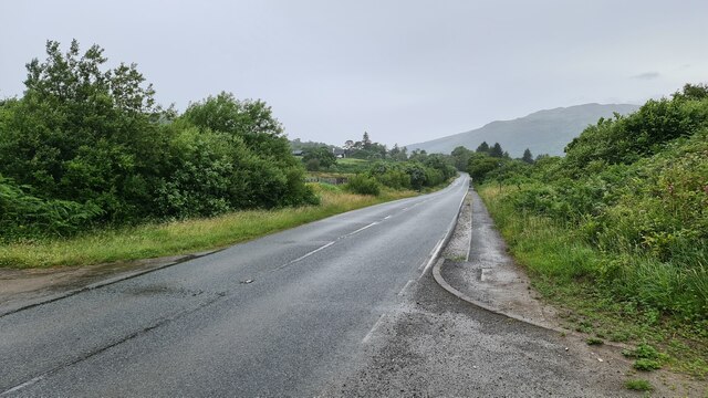
A851 road
The A851 road is one of the principal roads of the Isle of Skye in the Inner Hebrides off the west coast of mainland Scotland. It connects the ferry port...

Ornsay
Ornsay is a small tidal island to the east of the Sleat peninsula on the Isle of Skye in the Inner Hebrides of Scotland. == Description == The island provides...
Té Bheag
Té Bheag (Scottish Gaelic pronunciation: [ˈtʲʰeː ˈvek]) is a blended Scotch whisky made by Pràban na Linne Ltd in Scotland. It is one of Sir Iain Noble...
Nearby Amenities
Located within 500m of 57.167826,-5.7815095Have you been to Àird na Meacan?
Leave your review of Àird na Meacan below (or comments, questions and feedback).