Àird Loisgte

Coastal Feature, Headland, Point in Argyllshire

Scotland

Àird Loisgte

Causeway to Island of Danna, Knapdale This is the causeway that joins the Island of Danna to the Taynish peninsula in Knapdale.
Causeway to Island of Danna, Knapdale Credit: S C Grove

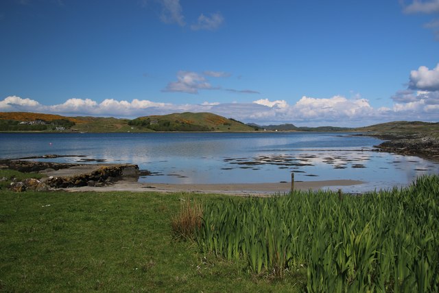
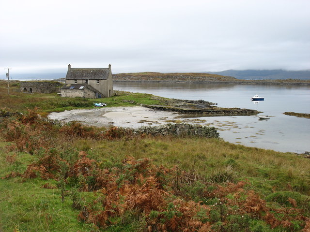
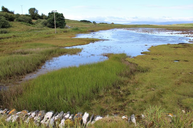
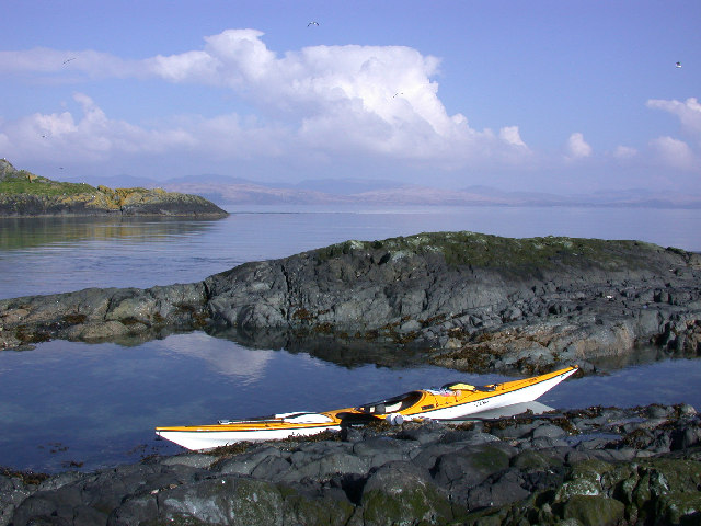
Àird Loisgte is a picturesque coastal feature located in Argyllshire, Scotland. This headland, also known as Àird Head, juts out into the Atlantic Ocean, offering breathtaking views of the surrounding landscape. With its rugged cliffs and pristine beaches, it is a popular destination for nature enthusiasts and photographers.

The headland is characterized by its towering cliffs, which rise up to 200 feet above the sea. These cliffs are composed of ancient rock formations, showcasing the geological history of the region. The exposed rocks reveal layers of sedimentary deposits, giving visitors a glimpse into the area's past.

At the tip of Àird Loisgte, there is a prominent point that offers panoramic vistas of the ocean. This point is a perfect spot to observe seabirds soaring above the waves, as well as to witness the dramatic crashing of the waves against the cliffs below. The strong winds and turbulent waters add to the sense of drama and awe that this coastal feature provides.

In addition to its natural beauty, Àird Loisgte is also home to a variety of wildlife. Seals can often be spotted basking on the rocks, while dolphins and porpoises occasionally make appearances in the waters below. The area is also a haven for birdlife, with species such as puffins, gannets, and guillemots nesting in the cliffs.

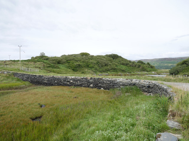
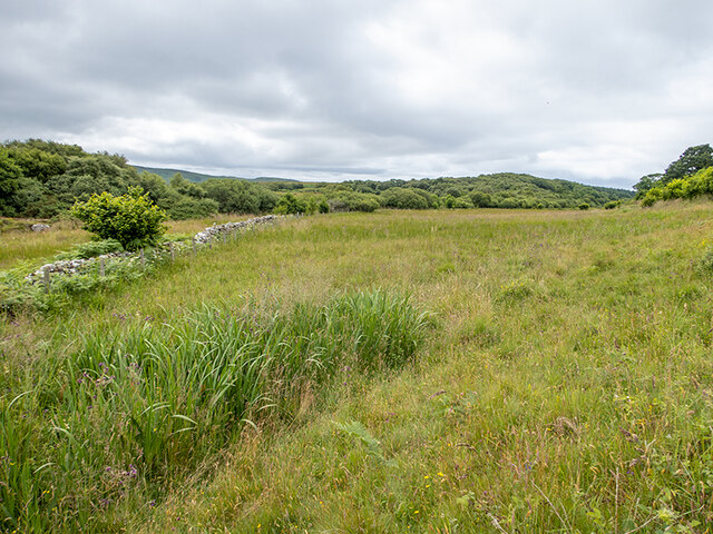
Access to Àird Loisgte is relatively easy, with a well-maintained footpath leading visitors to the headland. The path also provides opportunities for scenic walks, allowing visitors to explore the surrounding coastal landscape. Overall, Àird Loisgte is a must-visit destination for anyone seeking natural beauty, wildlife encounters, and a sense of tranquility by the sea.

If you have any feedback on the listing, please let us know in the comments section below.
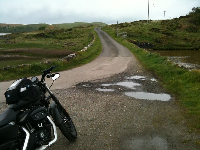
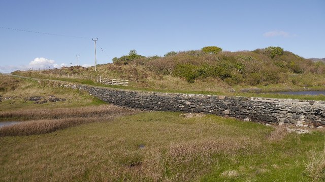
Àird Loisgte Images

Images are sourced within 2km of 55.962412/-5.671221 or Grid Reference NR7080. Thanks to Geograph Open Source API. All images are credited.

Causeway to Island of Danna, Knapdale This is the causeway that joins the Island of Danna to the Taynish peninsula in Knapdale.
Causeway to Island of Danna, Knapdale
This is the causeway that joins the Island of Danna to the Taynish peninsula in Knapdale.
Port nan Gallan This peaceful view on the Island of Danna faces northwards into Loch na Cille. To the left is an old quay that has now been replaced by a more modern one a few metres to the south.
Port nan Gallan
This peaceful view on the Island of Danna faces northwards into Loch na Cille. To the left is an old quay that has now been replaced by a more modern one a few metres to the south.
Port nan Gallan, Island of Danna Across the small sea-loch Loch na Cille is the peninsula of Rubha na Cille. Jura is in the distance.
Port nan Gallan, Island of Danna
Across the small sea-loch Loch na Cille is the peninsula of Rubha na Cille. Jura is in the distance.
Danna causeway A short stone structure across the tidal channel which separates Danna from the Knapdale mainland.
Danna causeway
A short stone structure across the tidal channel which separates Danna from the Knapdale mainland.
Tidal channel at Island of Danna
The causeway at the Island of Danna The stone causeway permits access to the Island of Danna (right) from the Tayvallich peninsula (left).  This image was taken at low tide.

This photograph was taken during the Coronavirus (COVID-19) pandemic of 2020.
The causeway at the Island of Danna
The stone causeway permits access to the Island of Danna (right) from the Tayvallich peninsula (left). This image was taken at low tide. This photograph was taken during the Coronavirus (COVID-19) pandemic of 2020.
Well in Castle Sween Looking down the rock-cut well in Castle Sween. The well has been lined for most of its depth.
Well in Castle Sween
Looking down the rock-cut well in Castle Sween. The well has been lined for most of its depth.
Inside the bread oven A typical bread oven set in the corner of MacMillan's tower at Castle Sween.
Inside the bread oven
A typical bread oven set in the corner of MacMillan's tower at Castle Sween.
Bread oven at Castle Sween The bread oven is set into the corner of MacMillan's tower. The opening on the left appears to be a cupboard and is one of a row of three similar structures.
Bread oven at Castle Sween
The bread oven is set into the corner of MacMillan's tower. The opening on the left appears to be a cupboard and is one of a row of three similar structures.
Querns on display at Castle Sween One rotary and two saddle querns on display inside MacMilla's tower at Castle Sween. No information was provided as to their provenance.
Querns on display at Castle Sween
One rotary and two saddle querns on display inside MacMilla's tower at Castle Sween. No information was provided as to their provenance.
Caisteal Suaine from the loch
Castle Sween Seen from the shore of Loch Sween, looking South.
Castle Sween
Seen from the shore of Loch Sween, looking South.
Country just north of Island of Danna Not, it has to be said, very attractive - but it is fairly typical of the square!
Country just north of Island of Danna
Not, it has to be said, very attractive - but it is fairly typical of the square!
Castle Sween explanatory plaque
Loch Sween from the castle
Looking towards Ceann an t-Sàilein Ceann an t-Sàilein is an inlet of Loch Sween between the Ulva peninsula and Rubha Bhreatanich on the Island of Damma.
Looking towards Ceann an t-Sàilein
Ceann an t-Sàilein is an inlet of Loch Sween between the Ulva peninsula and Rubha Bhreatanich on the Island of Damma.
Rough grazing on the Island of Danna Between Druim Sandys on the left and Druim Clachan on the right.
Rough grazing on the Island of Danna
Between Druim Sandys on the left and Druim Clachan on the right.
Bog asphodel and red clover Wild flowers on the grassy margin of the Island of Danna.
Bog asphodel and red clover
Wild flowers on the grassy margin of the Island of Danna.
Show me another place!

Àird Loisgte is located at Grid Ref: NR7080 (Lat: 55.962412, Lng: -5.671221)

Unitary Authority: Argyll and Bute

Police Authority: Argyll and West Dunbartonshire

What 3 Words

///chill.speech.regulator. Near Ardrishaig, Argyll & Bute

Related Wikis

Loch Sween

Loch Sween (Scottish Gaelic: Loch Suain or Loch Suibhne) is a sea loch located near Lochgilphead, Argyll and Bute, Scotland. Castle Sween is located on...

Keills Chapel

Keills Chapel is a small chapel located in the west Highlands, Scotland, near the village of Tayvallich, Knapdale.The chapel dates from the 11th century...

Island of Danna

The Island of Danna or Danna (Scottish Gaelic: Danna), is an inhabited tidal island in Argyll and Bute. == Geography == It is connected to the mainland...

Kilmory Knap Chapel

Kilmory Knap Chapel is a 13th-century Christian chapel, located at the tiny hamlet of Kilmory, in Knapdale, Argyll and Bute, on the west coast of Scotland...

Kilmory, Knapdale

Kilmory (Scottish Gaelic: Cill Mhoire) is a hamlet in the civil parish of South Knapdale, on Knapdale, Argyll and Bute, Scotland. It is situated near the...

Taynish National Nature Reserve

Taynish National Nature Reserve (Scottish Gaelic: Tèarmann Nàdair Nàiseanta Taighnis) is situated southwest of the village of Tayvallich in the council...

Sound of Jura

The Sound of Jura (Scottish Gaelic: An Linne Rosach) is a strait in Argyll and Bute, Scotland. It is one of the several Sounds of Scotland. It is to the...

Eilean Mòr, MacCormaig Isles

Eilean Mòr ("Big Isle") is one of the MacCormaig Isles situated near the entrance to Loch Sween in the Sound of Jura, Argyll and Bute, Scotland. Eilean...

Nearby Amenities

Located within 500m of 55.962412,-5.671221
Source: PGS
Lat/Long: 55.9579512/-5.6715277
Source: PGS
Lat/Long: 55.9585168/-5.6710019
Source: PGS
Lat/Long: 55.9592944/-5.6701557
Source: PGS
Lat/Long: 55.9595418/-5.6701152
Source: PGS
Lat/Long: 55.9598508/-5.6697998
Source: PGS
Lat/Long: 55.9603757/-5.6690058
Source: PGS
Lat/Long: 55.9605342/-5.6689381
Source: PGS
Lat/Long: 55.9607668/-5.668661
Source: PGS
Lat/Long: 55.9614389/-5.6678624
Source: PGS
Lat/Long: 55.9617286/-5.6674619
Source: PGS
Lat/Long: 55.9625974/-5.6667739
Source: PGS
Lat/Long: 55.9629481/-5.6667878
Source: PGS
Lat/Long: 55.9632413/-5.6667734
Source: PGS
Lat/Long: 55.962944/-5.6678817
Source: PGS
Lat/Long: 55.9626735/-5.6682045
Source: PGS
Lat/Long: 55.9624267/-5.6687529
Source: PGS
Lat/Long: 55.9620362/-5.6692671
Source: PGS
Lat/Long: 55.9616138/-5.6697163
Source: PGS
Lat/Long: 55.9611817/-5.6701694
Source: PGS
Lat/Long: 55.9606678/-5.6706583
Source: PGS
Lat/Long: 55.9605042/-5.6708632
Source: PGS
Lat/Long: 55.9600285/-5.6713321
Source: PGS
Lat/Long: 55.9598162/-5.6715271
Source: PGS
Lat/Long: 55.9596867/-5.6716105
Source: PGS
Lat/Long: 55.9595316/-5.6718978
Source: PGS
Lat/Long: 55.9588538/-5.6724004
Source: PGS
Lat/Long: 55.9583771/-5.6729041
Source: PGS
Lat/Long: 55.9591902/-5.6766758
Source: PGS
Lat/Long: 55.9595108/-5.6762435
Source: PGS
Lat/Long: 55.9598311/-5.6760643
Source: PGS
Lat/Long: 55.9601318/-5.6751796
Source: PGS
Lat/Long: 55.9604253/-5.6747492
Source: PGS
Lat/Long: 55.9606636/-5.6745022
Source: PGS
Lat/Long: 55.9608139/-5.6741265
Source: PGS
Lat/Long: 55.9610481/-5.6738485
Source: PGS
Lat/Long: 55.9611246/-5.6737479
Source: PGS
Lat/Long: 55.9612929/-5.67362
Source: PGS
Lat/Long: 55.9614612/-5.6735712
Source: PGS
Lat/Long: 55.9615772/-5.6734752
Source: PGS
Lat/Long: 55.9617188/-5.6734626
Source: PGS
Lat/Long: 55.9618841/-5.6733539
Source: PGS
Lat/Long: 55.9621524/-5.6730347
Source: PGS
Lat/Long: 55.9623492/-5.6729006
Source: PGS
Lat/Long: 55.9624989/-5.6728709
Source: PGS
Lat/Long: 55.9633761/-5.6723178
Source: PGS
Lat/Long: 55.9634853/-5.6690717
Source: PGS
Lat/Long: 55.9637776/-5.6687981
Source: PGS
Lat/Long: 55.9643056/-5.6679885
Source: PGS
Lat/Long: 55.9644786/-5.6678144
Source: PGS
Lat/Long: 55.9652382/-5.6673879
Source: PGS
Lat/Long: 55.9659602/-5.6665466
The data included in this document is from www.openstreetmap.org. The data is made available under ODbL.

Have you been to Àird Loisgte?

Leave your review of Àird Loisgte below (or comments, questions and feedback).