Àird of Kinuachdrachd

Coastal Feature, Headland, Point in Argyllshire

Scotland

Àird of Kinuachdrachd

Towards ruin below Cruach Eoghainn
Towards ruin below Cruach Eoghainn Credit: Chris Wimbush

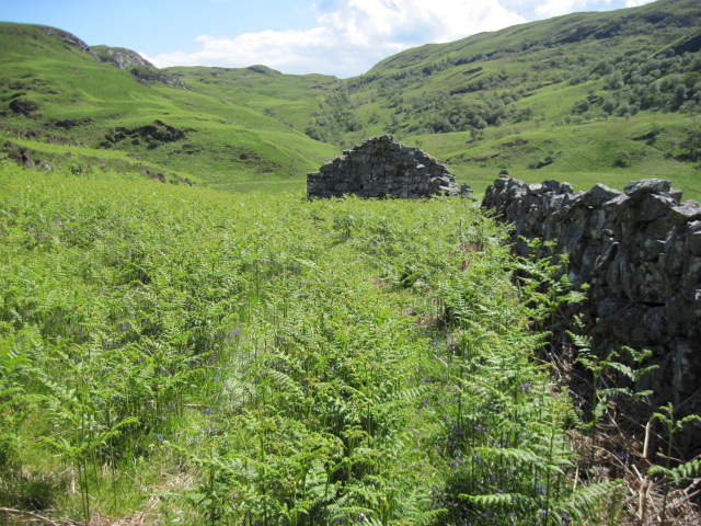
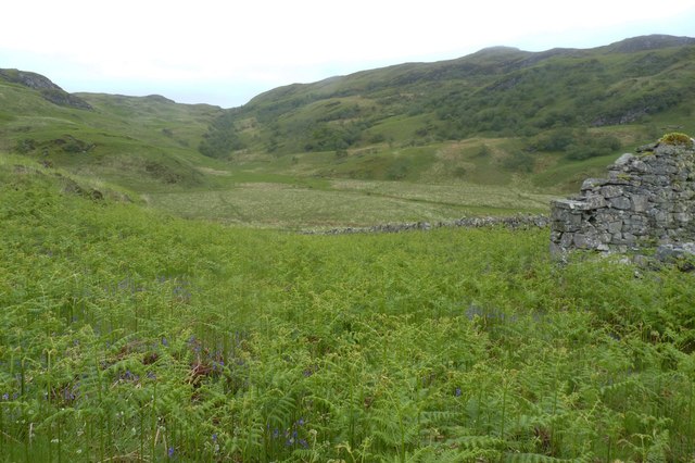
Àird of Kinuachdrachd is a prominent headland located in Argyllshire, Scotland. Situated on the west coast of the country, this coastal feature offers breathtaking views of the surrounding rugged landscape and the vast expanse of the Atlantic Ocean.

The headland is characterized by its steep, rocky cliffs that jut out into the sea, providing a dramatic backdrop to the crashing waves below. The cliffs are composed of sedimentary rock formations, displaying layers of different colors and textures, which are a testament to the area's geological history.

At the top of Àird of Kinuachdrachd, visitors can find a grassy plateau that affords panoramic vistas of the coastline and the nearby islands. This plateau serves as an ideal vantage point for birdwatching, as the headland is home to a diverse range of seabirds, including gannets, puffins, and fulmars. Additionally, the headland is a popular spot for whale and dolphin sightings, as these marine mammals frequently pass through the area.

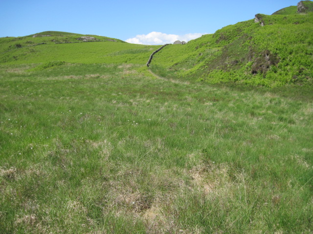
Access to Àird of Kinuachdrachd is via a narrow, winding road that leads to a small parking area near the headland. From there, visitors can explore the headland on foot, following well-marked trails that take them along the cliff edge and through the surrounding coastal vegetation.

Overall, Àird of Kinuachdrachd is a captivating coastal feature that offers a unique opportunity to experience Scotland's wild and untamed beauty. Its stunning cliffs, abundant wildlife, and panoramic views make it a must-visit destination for nature lovers and outdoor enthusiasts alike.

If you have any feedback on the listing, please let us know in the comments section below.

Àird of Kinuachdrachd Images

Images are sourced within 2km of 56.126759/-5.6899413 or Grid Reference NR7098. Thanks to Geograph Open Source API. All images are credited.

Towards ruin below Cruach Eoghainn
Gleann nam Muc towards ruin
Burn below Beinn Bhiorgaig towards Glentrosdale River
Moorland north of Cnoc Loch Losguinn Cnoc Loch Losguinn is a minor hill feature of the remote moorland at the north end of Jura. The view is to islands further north with Mull far distant, Scarba the large feature at the right side of the image and the small, low isle of Eileach an Naoimh beyond the turmoil of disturbed water that is the Corryvreckan.
Moorland north of Cnoc Loch Losguinn
Cnoc Loch Losguinn is a minor hill feature of the remote moorland at the north end of Jura. The view is to islands further north with Mull far distant, Scarba the large feature at the right side of the image and the small, low isle of Eileach an Naoimh beyond the turmoil of disturbed water that is the Corryvreckan.
Glentrosdale River
Glentrosdale River
Towards Glentrosdale
Near Làrach Bhàn, north Jura Tussocky and boggy moorland on the way to Glen Trosdale.
Near Làrach Bhàn, north Jura
Tussocky and boggy moorland on the way to Glen Trosdale.
Glen Trosdale River, Jura This made for very easy walking after the tussocky moorland we'd already waded through!
Glen Trosdale River, Jura
This made for very easy walking after the tussocky moorland we'd already waded through!
Shooting hide on the western flanks of Beinn Bhiorgaig, Jura This structure is presumably used as a crude hide for shooting Red Deer in season. Looking across to wooded Glen Trosdale.
Shooting hide on the western flanks of Beinn Bhiorgaig, Jura
This structure is presumably used as a crude hide for shooting Red Deer in season. Looking across to wooded Glen Trosdale.
Heading east, near Làrach Bhàn, north Jura
Gleann nam Muc and ruin, north Jura Glen of the Pig. Looking back up the wooded glen from a ruin near Cruach Eoghainn.
Gleann nam Muc and ruin, north Jura
Glen of the Pig. Looking back up the wooded glen from a ruin near Cruach Eoghainn.
Glen Trosdale ruin, north Jura I have been unable to find out anything about this ruin.
Glen Trosdale ruin, north Jura
I have been unable to find out anything about this ruin.
Glen Trosdale River, Jura
Gleann nam Muc and Glen Trosdale River, Jura
Cruach Eoghainn, Jura Rough country north-west of Kinuachdrachd.
Cruach Eoghainn, Jura
Rough country north-west of Kinuachdrachd.
Deer fence below Cnoc Dubh
Stile and gate in deer fence near Cnoc Dubh
Seal Basking on rocks The seal basking on the rocks at Liath Sgier Port an Tiobart on Jura, the hills on the mainland can be seen in the distance. A view of the bay from above can be seen here - <a title="https://www.geograph.org.uk/photo/2987931" href="https://www.geograph.org.uk/photo/2987931">Link</a>
Seal Basking on rocks
The seal basking on the rocks at Liath Sgier Port an Tiobart on Jura, the hills on the mainland can be seen in the distance. A view of the bay from above can be seen here - Link
Show me another place!

Àird of Kinuachdrachd is located at Grid Ref: NR7098 (Lat: 56.126759, Lng: -5.6899413)

Unitary Authority: Argyll and Bute

Police Authority: Argyll and West Dunbartonshire

What 3 Words

///reviewed.compose.array. Near Lochgilphead, Argyll & Bute

Related Wikis

Kinuachdrachd

Kinuachdrachd or Kinuachdrach is a place about 22 miles from Craighouse on the island of Jura, in the council area of Argyll and Bute, Scotland. It comprises...

Barnhill, Jura

Barnhill is a farmhouse in the north of the island of Jura in the Scottish Inner Hebrides overlooking the Sound of Jura. It stands on the site of a larger...

Gulf of Corryvreckan

The Gulf of Corryvreckan (from the Gaelic Coire Bhreacain, meaning 'cauldron of the speckled seas' or 'cauldron of the plaid'), also called the Strait...

Scarba

Scarba (Scottish Gaelic: Sgarba) is an island, in Argyll and Bute, Scotland, just north of the much larger island of Jura. The island has not been permanently...

Nearby Amenities

Located within 500m of 56.126759,-5.6899413
Source: PGS
Lat/Long: 56.1296106/-5.6890878
Source: PGS
Lat/Long: 56.1291122/-5.6913977
Aird of Kinuachdrachd
Ele: 23
Natural: peak
Source: OS_OpenData_StreetView
Lat/Long: 56.1265171/-5.6902455
Kinuachdrachd Harbour
Natural: bay
Source: OS_OpenData_StreetView
Lat/Long: 56.1229012/-5.6921626
Port an Tiobairt
Natural: bay
Source: OS_OpenData_StreetView
Lat/Long: 56.1302105/-5.6908855
Quay
Place: locality
Source: OS_OpenData_StreetView
Lat/Long: 56.1297865/-5.6883943
Source: PGS
Lat/Long: 56.1294253/-5.6875873
Kinuachdrachd
Name Gd: Ceann Uachdarach
Place: isolated_dwelling
Lat/Long: 56.1256826/-5.6948679
The data included in this document is from www.openstreetmap.org. The data is made available under ODbL.

Have you been to Àird of Kinuachdrachd?

Leave your review of Àird of Kinuachdrachd below (or comments, questions and feedback).