Rubha Ardnish

Coastal Feature, Headland, Point in Inverness-shire

Scotland

Rubha Ardnish

Pond in a private garden at Breakish
Pond in a private garden at Breakish Credit: Rod Allday

The requested URL returned error: 429 Too Many Requests

If you have any feedback on the listing, please let us know in the comments section below.

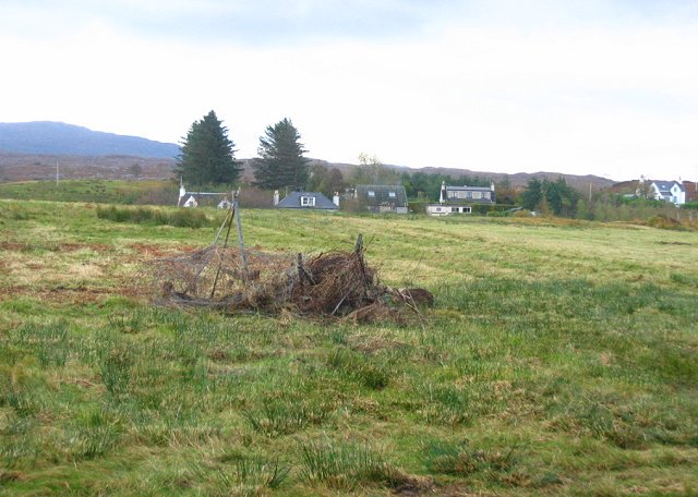
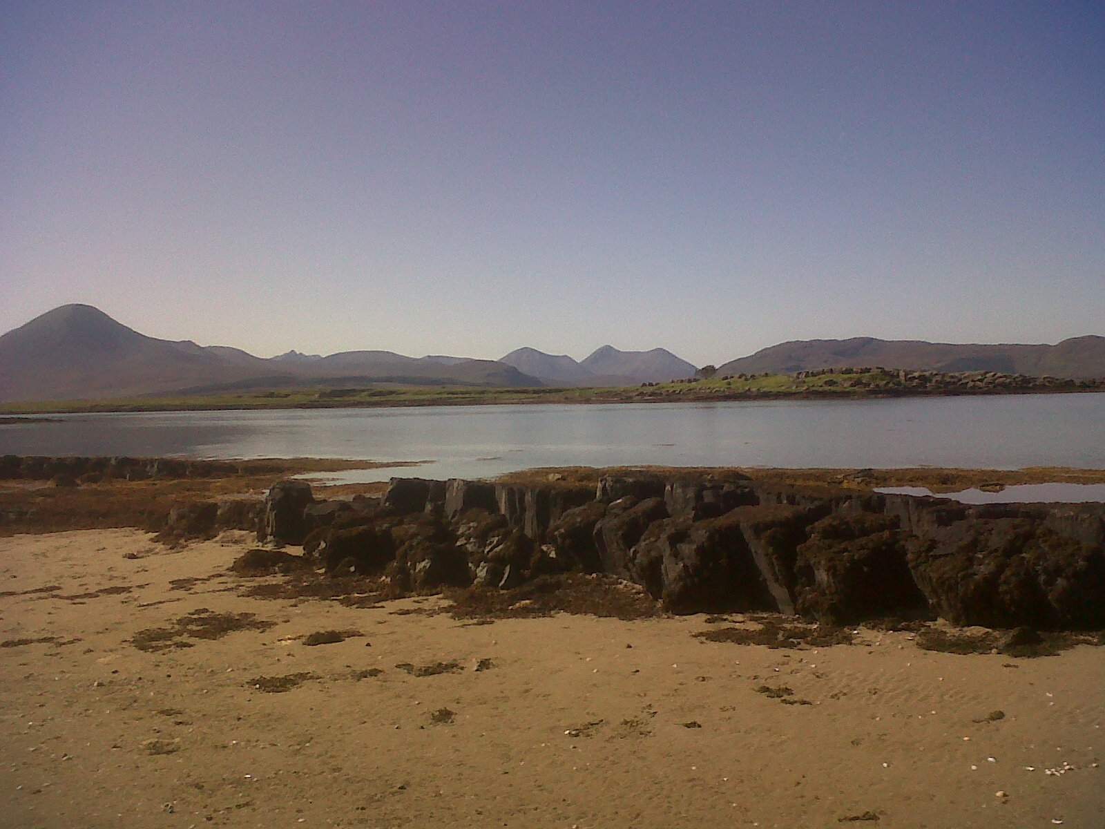
Rubha Ardnish Images

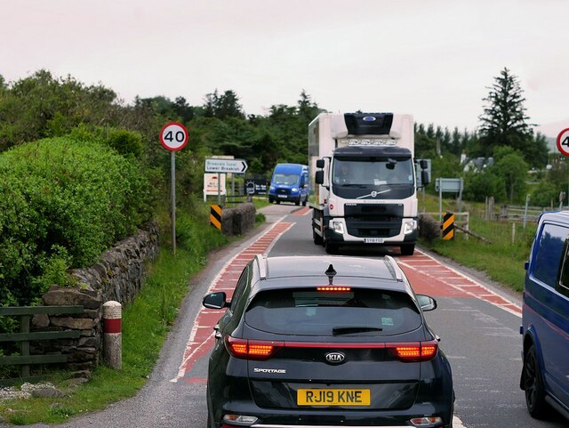
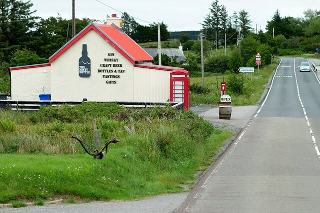
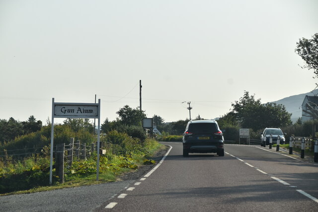
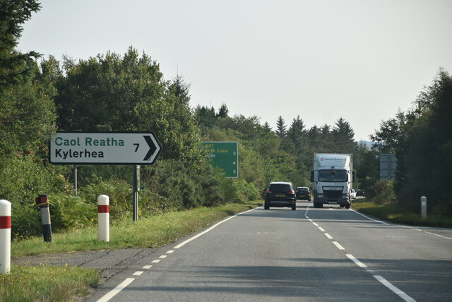
Images are sourced within 2km of 57.25321/-5.8493537 or Grid Reference NG6724. Thanks to Geograph Open Source API. All images are credited.

Pond in a private garden at Breakish
The Quaint Wee A small croft house at Lower Breakish.
The Quaint Wee
A small croft house at Lower Breakish.
Green shed at Breakish
View across Lower Breakish
Isle of Skye, Sign for the Kyle Rhea Ferry The Kyle Rhea Ferry was the earliest regular crossing point to the Isle of Skye. It crosses the shortest gap between the Isle of Skye and the mainland, across the Kyle Rhea. Since the opening of the Skye Bridge, the Glenelg to Kylerhea vehicle ferry now only operates between Easter and October.
Isle of Skye, Sign for the Kyle Rhea Ferry
The Kyle Rhea Ferry was the earliest regular crossing point to the Isle of Skye. It crosses the shortest gap between the Isle of Skye and the mainland, across the Kyle Rhea. Since the opening of the Skye Bridge, the Glenelg to Kylerhea vehicle ferry now only operates between Easter and October.
A87 Bridge across Abhainn Ashik The A87 is a primary route  in the Highland region of Scotland. It runs west for 99 miles from its junction with the A82 at Invergarry, along the north shores of Loch Garry and Loch Cluanie, then through Glen Shiel and along Loch Duich to Kyle of Lochalsh before crossing the Skye Bridge to Kyleakin, Broadford, and Portree, before terminating at Uig in the north of the Isle of Skye.
A87 Bridge across Abhainn Ashik
The A87 is a primary route in the Highland region of Scotland. It runs west for 99 miles from its junction with the A82 at Invergarry, along the north shores of Loch Garry and Loch Cluanie, then through Glen Shiel and along Loch Duich to Kyle of Lochalsh before crossing the Skye Bridge to Kyleakin, Broadford, and Portree, before terminating at Uig in the north of the Isle of Skye.
A87 near Breakish The A87 is a primary route  in the Highland region of Scotland. It runs west for 99 miles from its junction with the A82 at Invergarry, along the north shores of Loch Garry and Loch Cluanie, then through Glen Shiel and along Loch Duich to Kyle of Lochalsh before crossing the Skye Bridge to Kyleakin, Broadford, and Portree, before terminating at Uig in the north of the Isle of Skye.
A87 near Breakish
The A87 is a primary route in the Highland region of Scotland. It runs west for 99 miles from its junction with the A82 at Invergarry, along the north shores of Loch Garry and Loch Cluanie, then through Glen Shiel and along Loch Duich to Kyle of Lochalsh before crossing the Skye Bridge to Kyleakin, Broadford, and Portree, before terminating at Uig in the north of the Isle of Skye.
A87, Lower Breakish The A87 is a primary route  in the Highland region of Scotland. It runs west for 99 miles from its junction with the A82 at Invergarry, along the north shores of Loch Garry and Loch Cluanie, then through Glen Shiel and along Loch Duich to Kyle of Lochalsh before crossing the Skye Bridge to Kyleakin, Broadford, and Portree, before terminating at Uig in the north of the Isle of Skye.
A87, Lower Breakish
The A87 is a primary route in the Highland region of Scotland. It runs west for 99 miles from its junction with the A82 at Invergarry, along the north shores of Loch Garry and Loch Cluanie, then through Glen Shiel and along Loch Duich to Kyle of Lochalsh before crossing the Skye Bridge to Kyleakin, Broadford, and Portree, before terminating at Uig in the north of the Isle of Skye.
Bridge over Allt Achaidh na Caillich at Breakish The A87 is a primary route  in the Highland region of Scotland. It runs west for 99 miles from its junction with the A82 at Invergarry, along the north shores of Loch Garry and Loch Cluanie, then through Glen Shiel and along Loch Duich to Kyle of Lochalsh before crossing the Skye Bridge to Kyleakin, Broadford, and Portree, before terminating at Uig in the north of the Isle of Skye.
Bridge over Allt Achaidh na Caillich at Breakish
The A87 is a primary route in the Highland region of Scotland. It runs west for 99 miles from its junction with the A82 at Invergarry, along the north shores of Loch Garry and Loch Cluanie, then through Glen Shiel and along Loch Duich to Kyle of Lochalsh before crossing the Skye Bridge to Kyleakin, Broadford, and Portree, before terminating at Uig in the north of the Isle of Skye.
The Misty Bottle, Lower Breakish An independent off-licence specialising in Whisky, gin and quality craft beets <span class="nowrap"><a title="https://themistybottle.co.uk/" rel="nofollow ugc noopener" href="https://themistybottle.co.uk/">Link</a><img style="margin-left:2px;" alt="External link" title="External link - shift click to open in new window" src="https://s1.geograph.org.uk/img/external.png" width="10" height="10"/></span> . Located in the former post office at Breakish.
The Misty Bottle, Lower Breakish
An independent off-licence specialising in Whisky, gin and quality craft beets LinkExternal link . Located in the former post office at Breakish.
Abhainn Ashik
Abhainn Ashik
Lean to Coffee, Skye cafe Coffee and toasties
Lean to Coffee, Skye cafe
Coffee and toasties
A87 near Glenelg turning The A87 runs 99 miles from Invergarry to Uig on the Isle of Skye <a href="https://www.geograph.org.uk/photo/7374675">NG3863 : End of the A87, Uig</a>.
<span class="nowrap"><a title="https://www.sabre-roads.org.uk/wiki/index.php?title=A87" rel="nofollow ugc noopener" href="https://www.sabre-roads.org.uk/wiki/index.php?title=A87">Link</a><img style="margin-left:2px;" alt="External link" title="External link - shift click to open in new window" src="https://s1.geograph.org.uk/img/external.png" width="10" height="10"/></span>
A87 near Glenelg turning
The A87 runs 99 miles from Invergarry to Uig on the Isle of Skye NG3863 : End of the A87, Uig. LinkExternal link
A87 The A87 runs 99 miles from Invergarry to Uig on the Isle of Skye <a href="https://www.geograph.org.uk/photo/7374675">NG3863 : End of the A87, Uig</a>.
<span class="nowrap"><a title="https://www.sabre-roads.org.uk/wiki/index.php?title=A87" rel="nofollow ugc noopener" href="https://www.sabre-roads.org.uk/wiki/index.php?title=A87">Link</a><img style="margin-left:2px;" alt="External link" title="External link - shift click to open in new window" src="https://s1.geograph.org.uk/img/external.png" width="10" height="10"/></span>
A87
The A87 runs 99 miles from Invergarry to Uig on the Isle of Skye NG3863 : End of the A87, Uig. LinkExternal link
The Misty Bottle by the A87 The A87 runs 99 miles from Invergarry to Uig on the Isle of Skye <a href="https://www.geograph.org.uk/photo/7374675">NG3863 : End of the A87, Uig</a>.
<span class="nowrap"><a title="https://www.sabre-roads.org.uk/wiki/index.php?title=A87" rel="nofollow ugc noopener" href="https://www.sabre-roads.org.uk/wiki/index.php?title=A87">Link</a><img style="margin-left:2px;" alt="External link" title="External link - shift click to open in new window" src="https://s1.geograph.org.uk/img/external.png" width="10" height="10"/></span>
The Misty Bottle by the A87
The A87 runs 99 miles from Invergarry to Uig on the Isle of Skye NG3863 : End of the A87, Uig. LinkExternal link
A87 approaching Glenelg turning The A87 runs 99 miles from Invergarry to Uig on the Isle of Skye <a href="https://www.geograph.org.uk/photo/7374675">NG3863 : End of the A87, Uig</a>.
<span class="nowrap"><a title="https://www.sabre-roads.org.uk/wiki/index.php?title=A87" rel="nofollow ugc noopener" href="https://www.sabre-roads.org.uk/wiki/index.php?title=A87">Link</a><img style="margin-left:2px;" alt="External link" title="External link - shift click to open in new window" src="https://s1.geograph.org.uk/img/external.png" width="10" height="10"/></span>
A87 approaching Glenelg turning
The A87 runs 99 miles from Invergarry to Uig on the Isle of Skye NG3863 : End of the A87, Uig. LinkExternal link
Gleneng turning, A87 The A87 runs 99 miles from Invergarry to Uig on the Isle of Skye <a href="https://www.geograph.org.uk/photo/7374675">NG3863 : End of the A87, Uig</a>.
<span class="nowrap"><a title="https://www.sabre-roads.org.uk/wiki/index.php?title=A87" rel="nofollow ugc noopener" href="https://www.sabre-roads.org.uk/wiki/index.php?title=A87">Link</a><img style="margin-left:2px;" alt="External link" title="External link - shift click to open in new window" src="https://s1.geograph.org.uk/img/external.png" width="10" height="10"/></span>
Gleneng turning, A87
The A87 runs 99 miles from Invergarry to Uig on the Isle of Skye NG3863 : End of the A87, Uig. LinkExternal link
Show me another place!

Rubha Ardnish is located at Grid Ref: NG6724 (Lat: 57.25321, Lng: -5.8493537)

Unitary Authority: Highland

Police Authority: Highlands and Islands

What 3 Words

///match.hangs.paramedic. Near Broadford, Highland

Related Wikis

Lower Breakish

Lower Breakish (Scottish Gaelic: Breacais Ìosal) is a village on the Isle of Skye in Scotland. == Gallery... ==

Upper Breakish

Upper Breakish (Scottish Gaelic: Breacais Àrd) is a village on the Isle of Skye in Scotland in the United Kingdom. == References == The geographic coordinates...

Ashaig

Ashaig (Scottish Gaelic: Aiseag, referring to a ferry) is a small township, situated adjacent to Upper Breakish and Lower Breakish near Broadford on the...

Broadford Airfield

Isle of Skye (Broadford) Airfield (also known as Ashaig Airstrip or Broadford Aerodrome) is a small airfield on the Isle of Skye, Scotland, with a single...

Nearby Amenities

Located within 500m of 57.25321,-5.8493537
Source: PGS
Lat/Long: 57.250913/-5.8455226
Source: PGS
Lat/Long: 57.2499988/-5.8469447
Created By: almien_coastlines
Source: PGS
Lat/Long: 57.250541/-5.844557
Created By: almien_coastlines
Source: PGS
Lat/Long: 57.250675/-5.844332
Created By: almien_coastlines
Source: PGS
Lat/Long: 57.250807/-5.844105
Source: PGS
Lat/Long: 57.2509454/-5.843243
Source: PGS
Lat/Long: 57.2524671/-5.8416144
Source: PGS
Lat/Long: 57.2514299/-5.8442032
Created By: almien_coastlines
Source: PGS
Lat/Long: 57.251181/-5.844607
Rubha Ardnish
Natural: cape
Lat/Long: 57.2547976/-5.8476749
The data included in this document is from www.openstreetmap.org. The data is made available under ODbL.

Have you been to Rubha Ardnish?

Leave your review of Rubha Ardnish below (or comments, questions and feedback).