Àird Lungadain
Coastal Feature, Headland, Point in Argyllshire
Scotland
Àird Lungadain
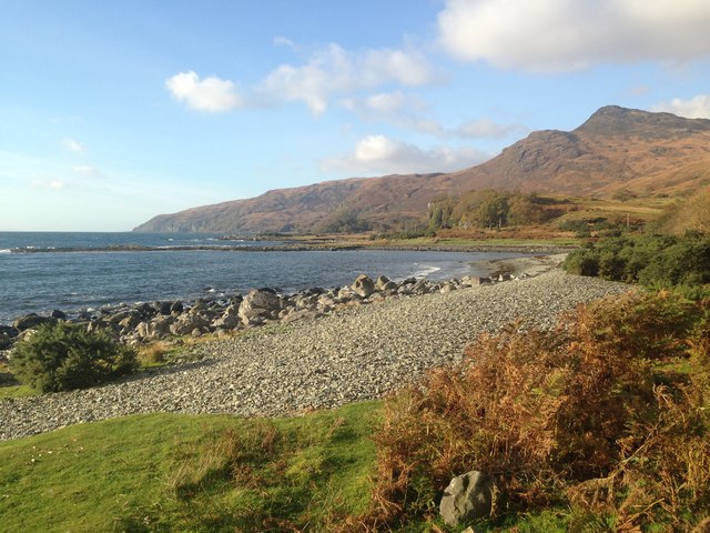
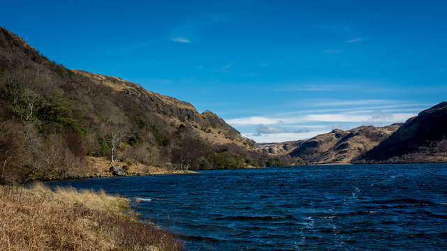
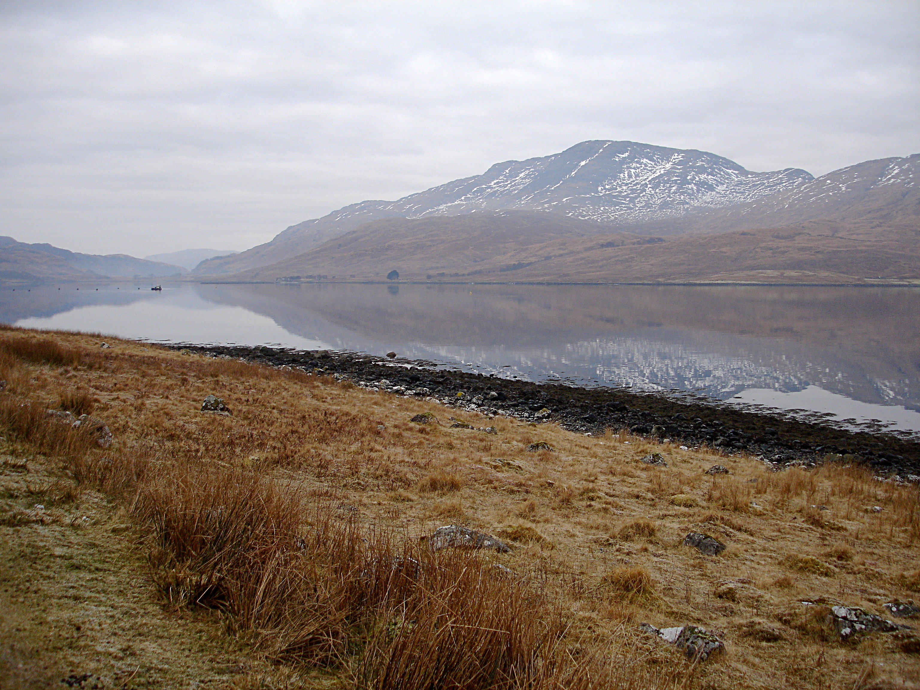
Àird Lungadain is a prominent coastal feature located in Argyllshire, Scotland. It is a headland that extends into the Atlantic Ocean, forming a distinct point along the coastline. The headland is known for its rugged and picturesque landscape, characterized by steep cliffs and rocky outcrops.
Situated in a remote and unspoiled area, Àird Lungadain offers breathtaking views of the surrounding natural beauty. The headland is surrounded by pristine beaches and crystal-clear waters, making it a popular spot for nature enthusiasts and photographers. It is also a haven for wildlife, with various seabirds, seals, and occasionally dolphins being spotted in the area.
The cliffs of Àird Lungadain are composed of a combination of sedimentary rock and basalt, providing a fascinating geological spectacle. The headland is particularly renowned for its distinctive rock formations, shaped by years of erosion from the crashing waves. These formations create a dramatic backdrop and add to the allure of the location.
Access to Àird Lungadain is limited, with a narrow pathway leading to the headland. This helps preserve its untouched beauty and ensures a sense of seclusion for visitors. The headland is a popular destination for hikers, who can explore the surrounding coastal trails and enjoy the tranquility of the area.
Overall, Àird Lungadain is a stunning coastal feature in Argyllshire, offering visitors a chance to immerse themselves in Scotland's natural splendor. Its rugged cliffs, unique rock formations, and abundant wildlife make it a must-visit destination for those seeking a true coastal experience.
If you have any feedback on the listing, please let us know in the comments section below.
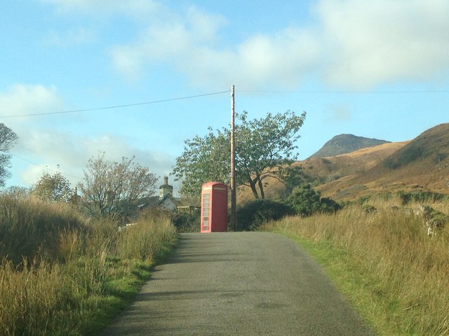
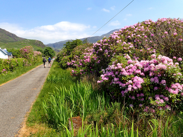
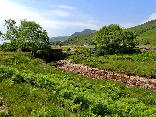
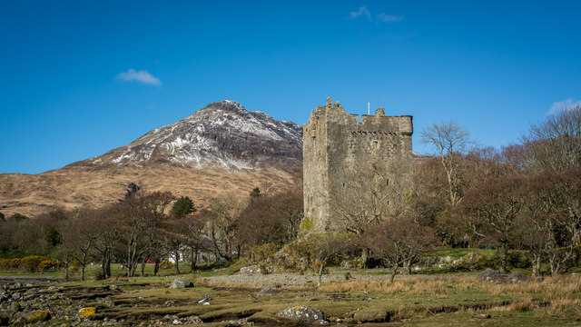
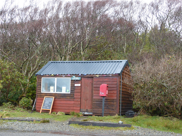
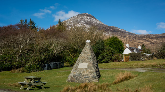
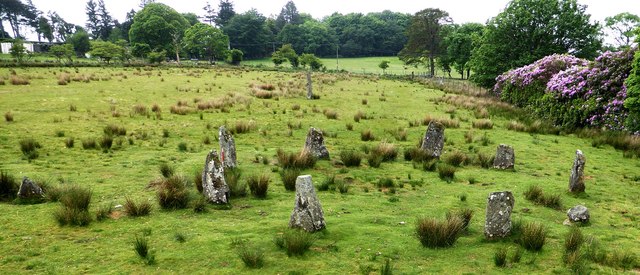
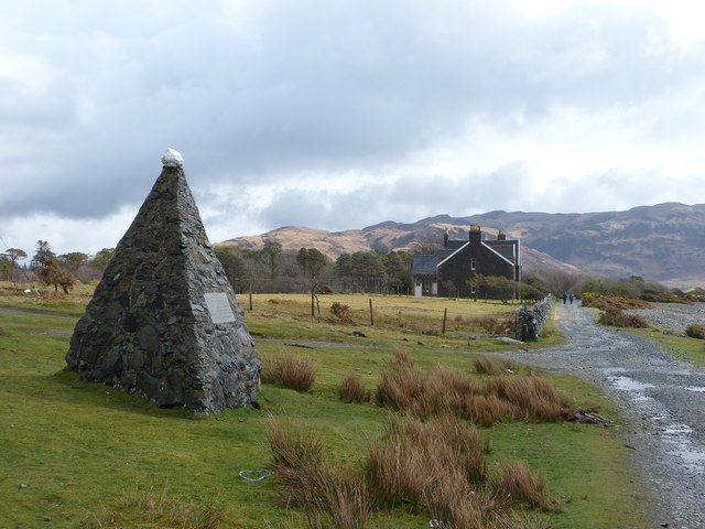
Àird Lungadain Images
Images are sourced within 2km of 56.346868/-5.848844 or Grid Reference NM6223. Thanks to Geograph Open Source API. All images are credited.


Àird Lungadain is located at Grid Ref: NM6223 (Lat: 56.346868, Lng: -5.848844)
Unitary Authority: Argyll and Bute
Police Authority: Argyll and West Dunbartonshire
What 3 Words
///furnish.daylight.wreck. Near Lochbuie, Argyll & Bute
Related Wikis

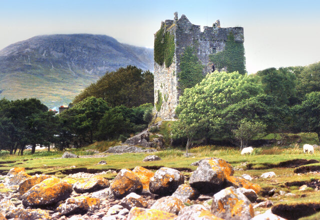
Moy Castle
Moy Castle is a ruined castle near Lochbuie on the Isle of Mull, Scotland. The site is now a scheduled monument. == History == The land upon which Moy...

Lochbuie, Mull
Lochbuie (Scottish Gaelic: Locha Buidhe, meaning "yellow loch") is a settlement on the Isle of Mull in Scotland about 22 kilometres (14 mi) west of Craignure...

Loch Buie
Loch Buie (Scottish Gaelic: Locha Buidhe, meaning "yellow loch") is a sea loch on the south coast of the Isle of Mull, off the west coast of Scotland....

Ben Buie
Ben Buie (717 m) is a mountain in the south of the Isle of Mull, Scotland. A rocky mountain, it has steep and rugged slopes, especially on its eastern...
Creach-Beinn (Mull)
Creach-Beinn (698 m) is a mountain in the south of the Isle of Mull, Scotland. It rises above the northern shore of Loch Spelve. A rocky mountain with...

Firth of Lorn
The Firth of Lorn or Lorne (Scottish Gaelic: An Linne Latharnach) is the inlet of the sea between the south-east coast of the Isle of Mull and the mainland...

Carsaig Bay
Carsaig Bay is a cove on the Ross of Mull in the south of the Isle of Mull, off the west coast of Scotland. It is situated 5 kilometres (3 miles) eastward...
Loch Spelve
Loch Spelve is a sea loch on the southeast coast of the Isle of Mull, off the west coast of Scotland. It is almost landlocked with a relatively narrow...
Nearby Amenities
Located within 500m of 56.346868,-5.848844Have you been to Àird Lungadain?
Leave your review of Àird Lungadain below (or comments, questions and feedback).