Rubh' a' Chinn Mhòir

Coastal Feature, Headland, Point in Inverness-shire

Scotland

Rubh' a' Chinn Mhòir

Tidal rock A rock exposed at low tide; Applecross in the background.
Tidal rock Credit: Toby Speight

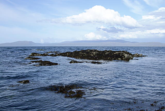
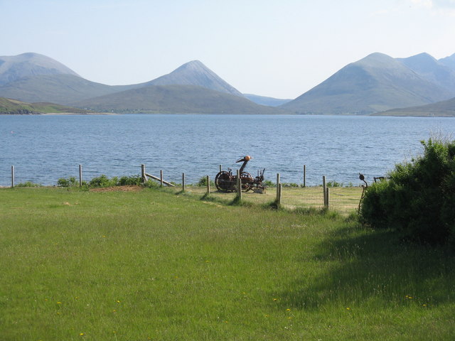
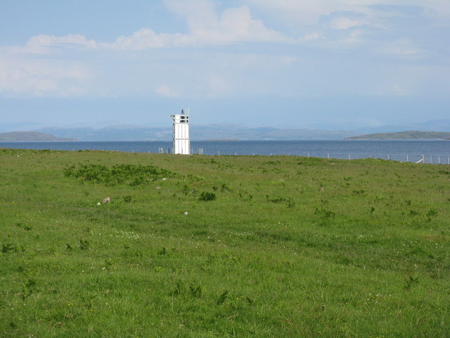
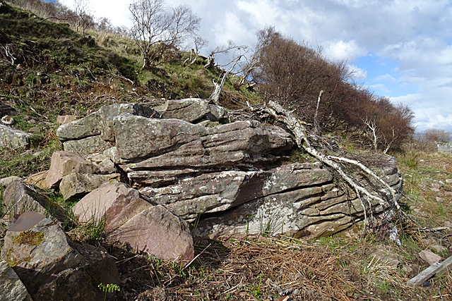
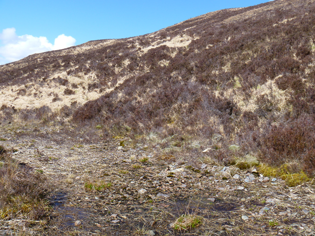
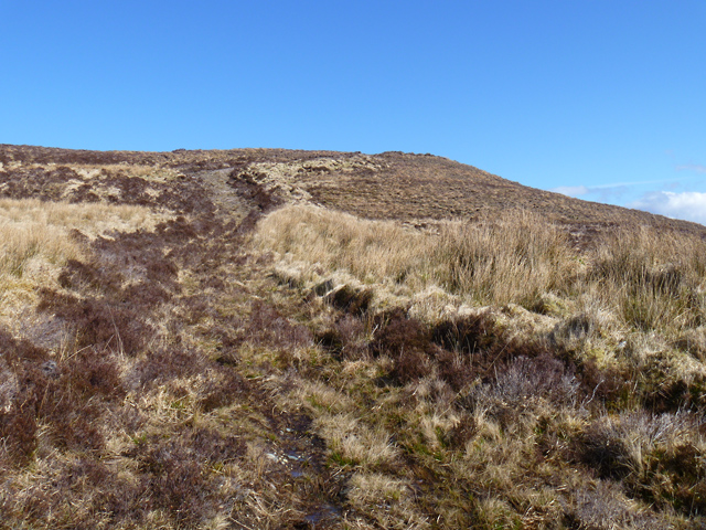
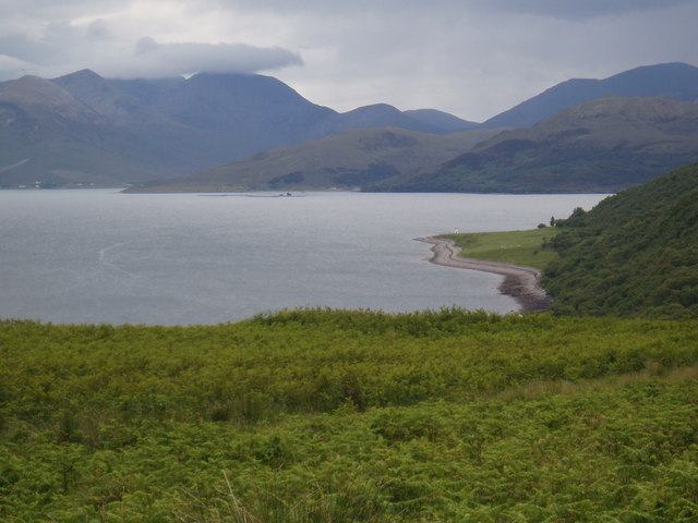
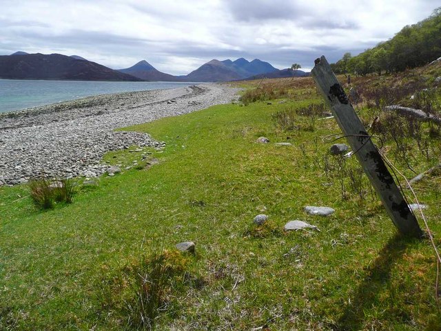
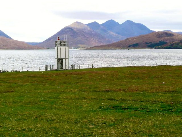
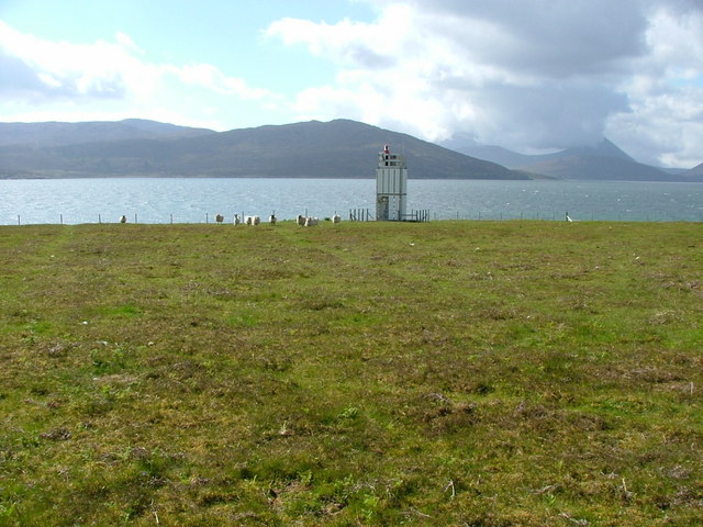
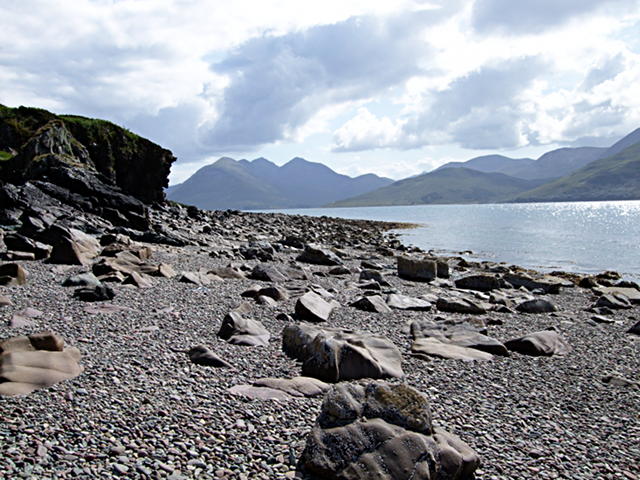
Rubh' a' Chinn Mhòir is a picturesque headland located in Inverness-shire, Scotland. It is situated on the northwest coast of the country, overlooking the waters of the North Atlantic Ocean. The headland is characterized by rugged cliffs that jut out into the sea, offering stunning panoramic views of the surrounding coastline.

The name Rubh' a' Chinn Mhòir translates to "point of the big headland" in Gaelic, which aptly describes the prominent feature of this coastal area. The headland is a popular destination for tourists and hikers, who come to explore the dramatic cliffs and enjoy the breathtaking scenery.

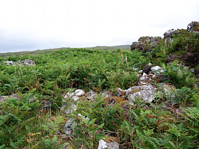
In addition to its natural beauty, Rubh' a' Chinn Mhòir is also known for its rich wildlife. The area is home to a variety of seabirds, including puffins, guillemots, and gannets, making it a popular spot for birdwatching.

Overall, Rubh' a' Chinn Mhòir is a must-visit destination for nature lovers and outdoor enthusiasts looking to experience the rugged beauty of Scotland's coastline. Its stunning views and diverse wildlife make it a truly special place to visit.

If you have any feedback on the listing, please let us know in the comments section below.

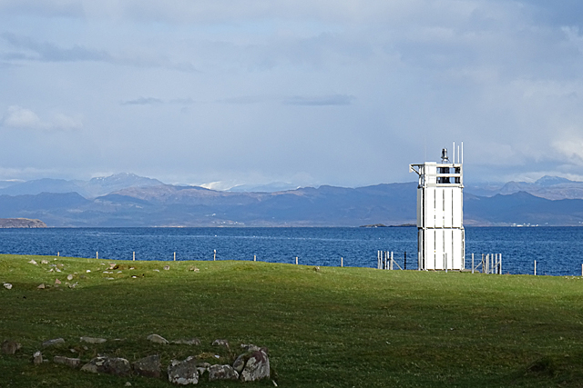
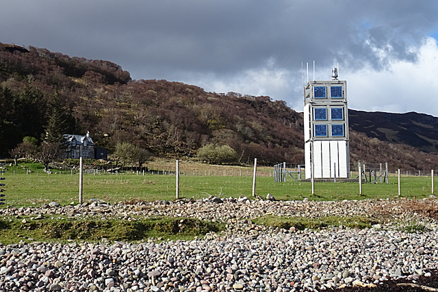
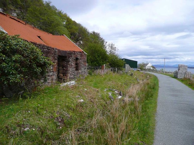
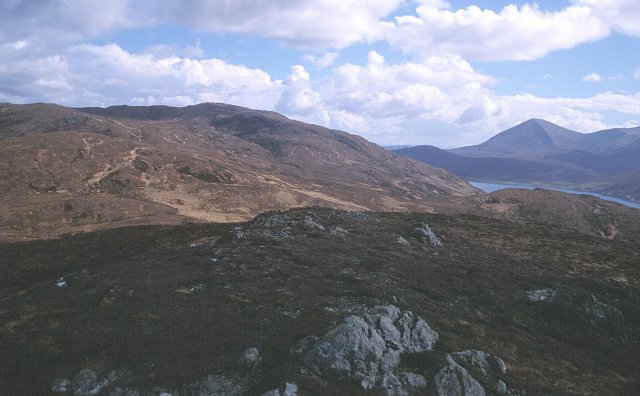
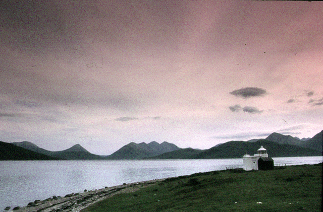
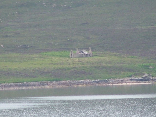
Rubh' a' Chinn Mhòir Images

Images are sourced within 2km of 57.323196/-6.0005046 or Grid Reference NG5932. Thanks to Geograph Open Source API. All images are credited.

Tidal rock A rock exposed at low tide; Applecross in the background.
Tidal rock
A rock exposed at low tide; Applecross in the background.
Overgrown ruin All along the coast, there is evidence of earlier settlement.  It's exposed to the north wind along the Inner Sound, and there are no good anchorages (and reefs everywhere), so the inhabitants must have made what living they could off the (poor) land.  It's no surprise that this area is now uninhabited.
Overgrown ruin
All along the coast, there is evidence of earlier settlement. It's exposed to the north wind along the Inner Sound, and there are no good anchorages (and reefs everywhere), so the inhabitants must have made what living they could off the (poor) land. It's no surprise that this area is now uninhabited.
The hills of Skye from Raasay Looking across Caol Mòr from Eyre on Raasay.
The hills of Skye from Raasay
Looking across Caol Mòr from Eyre on Raasay.
Lighthouse at Eyre Point Overlooking Caol Mòr, with Scalpay on the right and Applecross on the left.
Lighthouse at Eyre Point
Overlooking Caol Mòr, with Scalpay on the right and Applecross on the left.
Torridonian Sandstone Torridonian Sandstone occurs extensively in the northern part of Raasay, but there is also a small area here on the southern tip of the island. They were deposited by rivers in an arid environment around 800 to 1000 million years ago.
Torridonian Sandstone
Torridonian Sandstone occurs extensively in the northern part of Raasay, but there is also a small area here on the southern tip of the island. They were deposited by rivers in an arid environment around 800 to 1000 million years ago.
Lighthouse at Eyre This unusual-looking lighthouse is apparently the only lighthouse on Raasay.
Lighthouse at Eyre
This unusual-looking lighthouse is apparently the only lighthouse on Raasay.
Eyre Point Lighthouse I think the square blue panels on the south side of the structure may in fact be solar panels.
Eyre Point Lighthouse
I think the square blue panels on the south side of the structure may in fact be solar panels.
Track below Beinn Reireag Bheag A little used vehicle track that rises from the shore of Loch na Cairidh.
Track below Beinn Reireag Bheag
A little used vehicle track that rises from the shore of Loch na Cairidh.
Track rising to the shoulder of Beinn Reireag Bheag Built as a vehicle track, but unused for years.
Track rising to the shoulder of Beinn Reireag Bheag
Built as a vehicle track, but unused for years.
Eyre Point from North Fearns
The shore north of Eyre Point The peaks of Skye standing out well in the good visibility.
The shore north of Eyre Point
The peaks of Skye standing out well in the good visibility.
The light at Eyre Point Looking across to Glamaig and Sgurr nan Gillean on Skye.
The light at Eyre Point
Looking across to Glamaig and Sgurr nan Gillean on Skye.
Derelict house at Eyre And for contrast, a new shed in the distance
Derelict house at Eyre
And for contrast, a new shed in the distance
Summit of Beinn Reireag Bheag Looking east towards Mullach nan Carn. Very heathery typical Torridonian terrain. Rigs visible on the hillside are a forestry attempt.
Summit of Beinn Reireag Bheag
Looking east towards Mullach nan Carn. Very heathery typical Torridonian terrain. Rigs visible on the hillside are a forestry attempt.
Eyre Point The Lighthouse at Eyre Point
Eyre Point
The Lighthouse at Eyre Point
Ruined house on the Island of Scalpay Taken from Eyre Point, Raasay.
Ruined house on the Island of Scalpay
Taken from Eyre Point, Raasay.
Eyre Point Lighthouse
Rocky pebble beach Boulders mix with pebbles on this west-facing beach.  Hills of southern Skye visible beyond.
Rocky pebble beach
Boulders mix with pebbles on this west-facing beach. Hills of southern Skye visible beyond.
Show me another place!

Rubh' a' Chinn Mhòir is located at Grid Ref: NG5932 (Lat: 57.323196, Lng: -6.0005046)

Unitary Authority: Highland

Police Authority: Highlands and Islands

What 3 Words

///concerned.drag.madder. Near Broadford, Highland

Nearby Locations

Rubh' a' Chinn Mhòir

Related Wikis

Scalpay, Inner Hebrides

Scalpay (; Scottish Gaelic: Sgalpaigh) is an inhabited island in the Inner Hebrides of Scotland which has a population of 4. == Geology == The bedrock...

Inverarish

Inverarish (Scottish Gaelic: Inbhir Àrais) is a village that is the main settlement of the Isle of Raasay, in the civil parish of Portree, in the council...

Isle of Raasay distillery

Isle of Raasay distillery is a Scotch whisky distillery on the Inner Hebridean Isle of Raasay in Northwest Scotland. The distillery is owned by R&B Distillers...
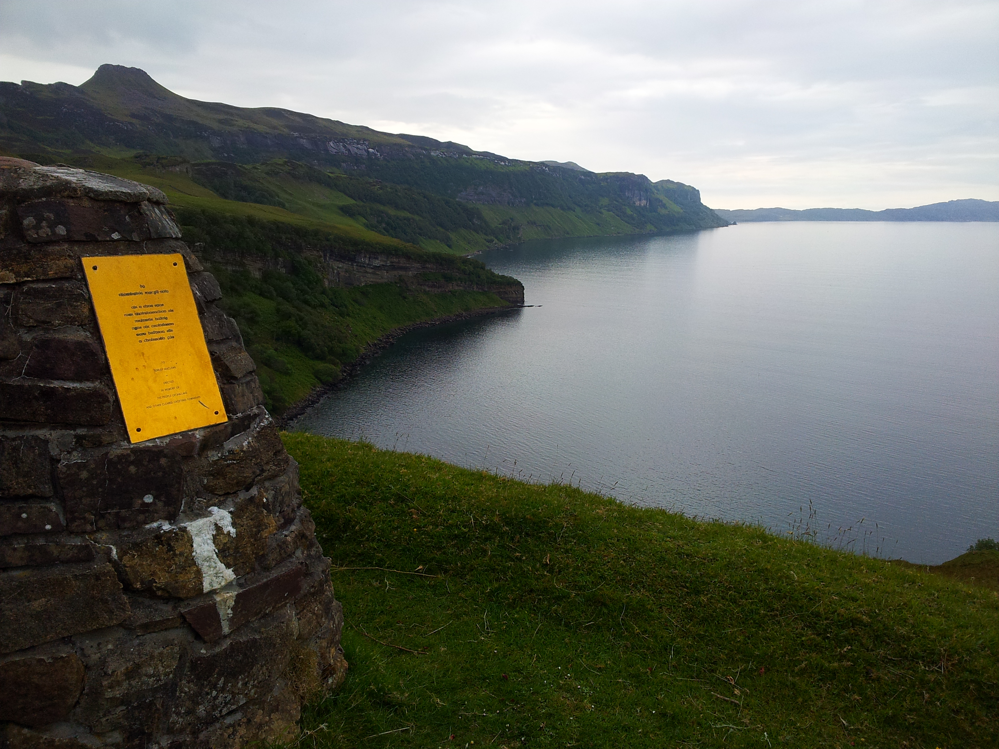
Hallaig

Hallaig is the most recognized poem of Sorley MacLean, an important Scottish poet of the 20th century. After writing it, MacLean rose to fame in the English...

Nearby Amenities

Located within 500m of 57.323196,-6.0005046
Source: PGS
Lat/Long: 57.3253437/-5.9955408
Source: PGS
Lat/Long: 57.3254423/-5.9958944
Source: PGS
Lat/Long: 57.3258882/-5.9956684
Source: PGS
Lat/Long: 57.3259298/-5.9953245
Created By: almien_coastlines
Source: PGS
Lat/Long: 57.325551/-5.995261
Source: PGS
Lat/Long: 57.3198837/-6.0052153
Rubh' a' Chinn Mhòir
Natural: cape
Lat/Long: 57.3238929/-6.0047336
The data included in this document is from www.openstreetmap.org. The data is made available under ODbL.

Have you been to Rubh' a' Chinn Mhòir?

Leave your review of Rubh' a' Chinn Mhòir below (or comments, questions and feedback).