Rubha na Luaithre
Coastal Feature, Headland, Point in Argyllshire
Scotland
Rubha na Luaithre
Rubha na Luaithre is a prominent headland located in Argyllshire, Scotland. Situated on the western coast of the country, this coastal feature is known for its stunning natural beauty and rich historical significance. The headland juts out into the sea, creating a picturesque point that offers breathtaking views of the surrounding landscape.
The terrain of Rubha na Luaithre is characterized by rugged cliffs and rocky outcrops, which provide a habitat for a diverse range of marine and bird species. The headland is also home to a variety of plant species, including heather and gorse, which add vibrant splashes of color to the landscape.
Historically, Rubha na Luaithre has played a significant role in the maritime activities of the region. The headland's strategic location made it an ideal vantage point for sailors and fishermen, who used it as a navigational landmark. It was also a site for signaling, with fires or flags being used to communicate with passing ships.
Today, Rubha na Luaithre is a popular destination for nature enthusiasts and hikers. The headland offers several walking trails, allowing visitors to explore the stunning coastal scenery while enjoying the fresh sea breeze. The surrounding waters are also a haven for wildlife, with seals and dolphins often spotted in the area.
In summary, Rubha na Luaithre is a remarkable headland in Argyllshire, Scotland. With its breathtaking views, diverse wildlife, and historical significance, it is a must-visit destination for those seeking to experience the natural beauty of the Scottish coast.
If you have any feedback on the listing, please let us know in the comments section below.
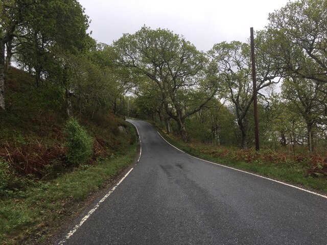
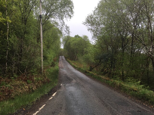
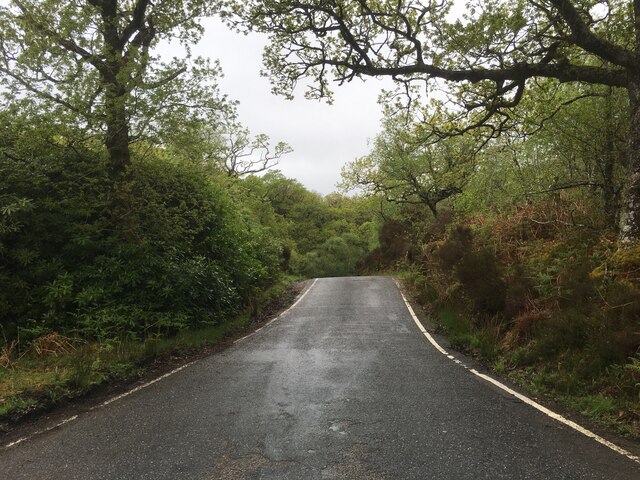
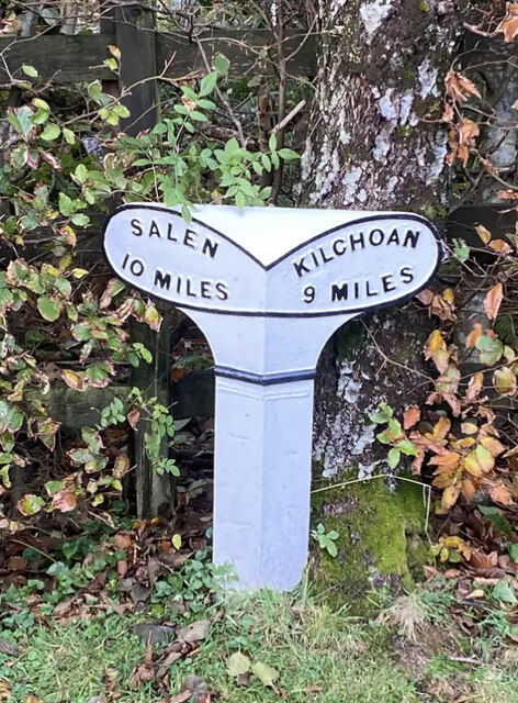
Rubha na Luaithre Images
Images are sourced within 2km of 56.687307/-5.9473471 or Grid Reference NM5862. Thanks to Geograph Open Source API. All images are credited.
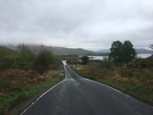

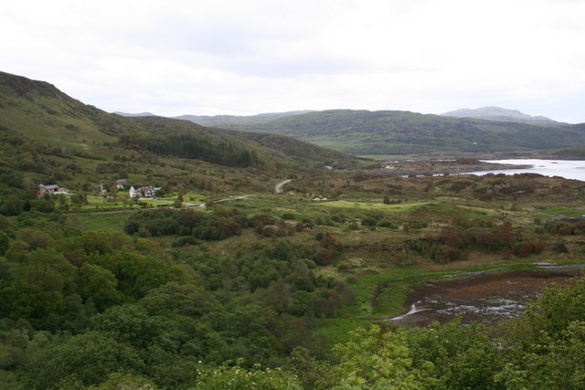

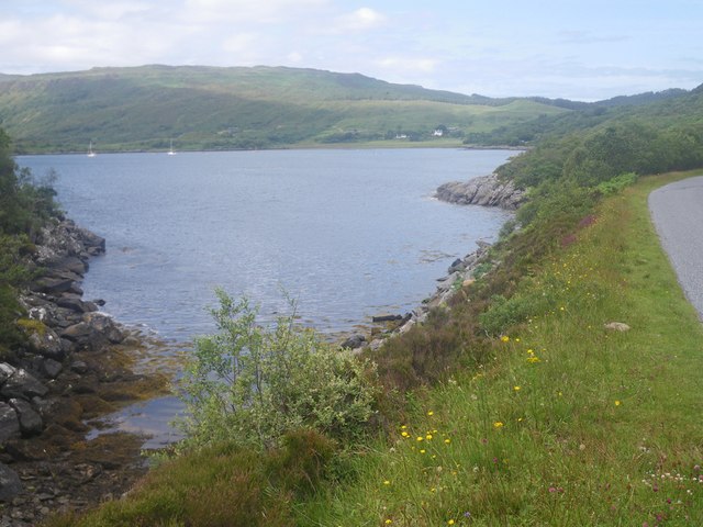
![Loch Sunart Off the B8006 near Glenbeg (on the road to the Kilchoan Ferry). I
believe the low-lying island of Oronsay is in the middle ground with the
western part of Morvern and Beinn Bhuide behind.
[Thanks to Penny Mayes for assistance in locating this image]](https://s3.geograph.org.uk/geophotos/02/49/30/2493051_8020412c.jpg)
Rubha na Luaithre is located at Grid Ref: NM5862 (Lat: 56.687307, Lng: -5.9473471)
Unitary Authority: Highland
Police Authority: Highlands and Islands
What 3 Words
///artichoke.charted.kingdom. Near Drimnin, Highland
Nearby Locations
Related Wikis

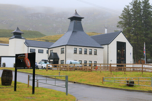
Ardnamurchan distillery
Ardnamurchan distillery is a Scotch whisky distillery on the Ardnamurchan peninsula of Lochaber in the Highlands, Scotland. The distillery is considered...

Glenmore Bay
Glenmore Bay is a remote, tidal, 150° orientated, coastal embayment, located on the southern coastline of the west to east orientated Ardnamurchan peninsula...

Eilean Mòr, Loch Sunart
Eilean Mòr is an uninhabited, tidal island opposite Oronsay at the entrance to Loch Sunart, an arm of the sea on the west coast of Scotland. At low tide...

Glenborrodale Bay
Glenborrodale Bay is a remote tidal, 200° orientated, coastal embayment, located on the southern coastline of the west to east orientated Ardnamurchan...
Nearby Amenities
Located within 500m of 56.687307,-5.9473471Have you been to Rubha na Luaithre?
Leave your review of Rubha na Luaithre below (or comments, questions and feedback).