Àird Fheàrna
Coastal Feature, Headland, Point in Argyllshire
Scotland
Àird Fheàrna

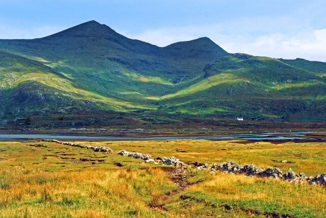
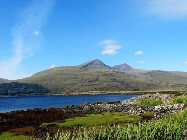
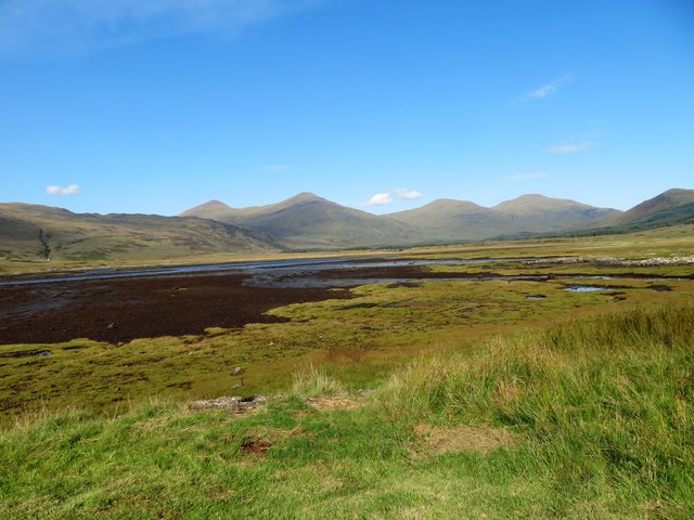
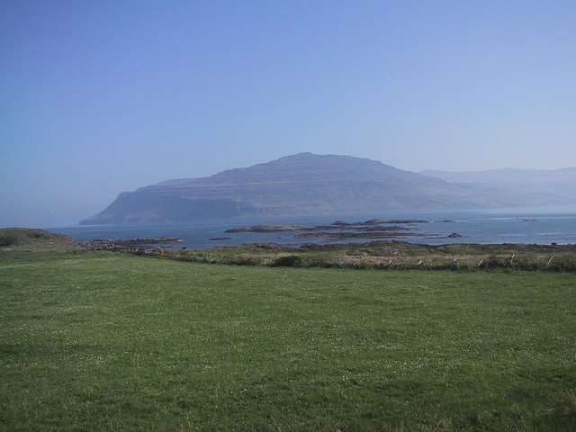
Àird Fheàrna is a coastal feature located in Argyllshire, Scotland. Situated on the western coast of the country, it is a prominent headland that juts out into the Atlantic Ocean. Known for its rugged beauty, Àird Fheàrna offers stunning panoramic views of the surrounding landscape.
The headland is characterized by its rocky cliffs, which rise steeply from the sea, forming a dramatic coastline. The cliffs are composed of ancient rock formations, showcasing the geological history of the area. Caves and crevices can also be found along the base of the cliffs, adding to the allure of Àird Fheàrna.
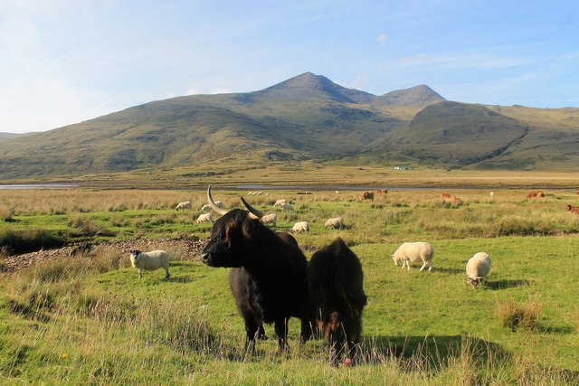
The headland is covered with lush vegetation, including grasses, heather, and wildflowers, which provide a vibrant display of colors throughout the year. The diverse flora supports a variety of wildlife, making Àird Fheàrna a haven for nature enthusiasts and birdwatchers. Visitors may spot seabirds such as gannets, puffins, and guillemots, as well as seals and dolphins swimming in the waters below.
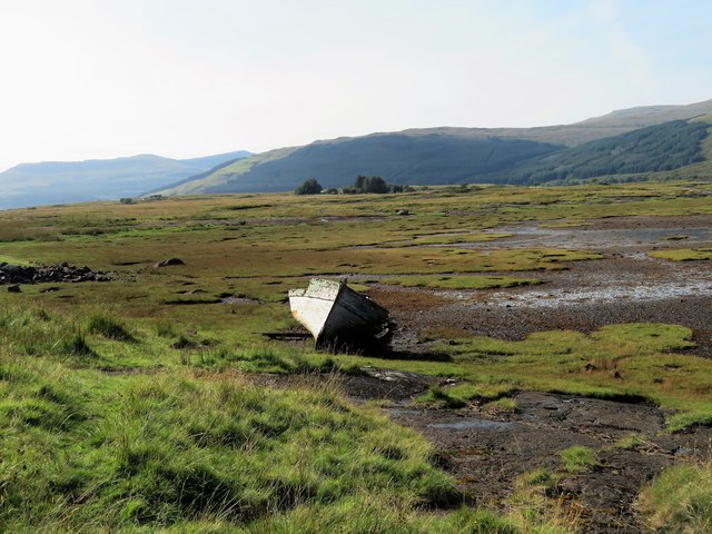
Access to Àird Fheàrna is possible via a footpath that winds along the coastline, offering both leisurely strolls and more challenging hikes. The path provides opportunities for exploration and discovery, with hidden coves and secluded beaches waiting to be found. The headland is also a popular spot for fishing and picnicking, as well as photography and painting, thanks to its picturesque vistas.
Overall, Àird Fheàrna is a captivating coastal feature that showcases the natural beauty of Argyllshire. Its rugged cliffs, diverse wildlife, and stunning scenery make it a must-visit destination for those seeking an authentic Scottish coastal experience.
If you have any feedback on the listing, please let us know in the comments section below.
Àird Fheàrna Images
Images are sourced within 2km of 56.387566/-5.9947807 or Grid Reference NM5328. Thanks to Geograph Open Source API. All images are credited.


Àird Fheàrna is located at Grid Ref: NM5328 (Lat: 56.387566, Lng: -5.9947807)
Unitary Authority: Argyll and Bute
Police Authority: Argyll and West Dunbartonshire
What 3 Words
///blame.greet.norms. Near Lochbuie, Argyll & Bute
Nearby Locations
Related Wikis

Aird of Kinloch
Aird of Kinloch (Gaelic:An Àird) is a rocky outcrop between Loch Scridain and Loch Beg on the Isle of Mull, Argyll and Bute, Scotland. == References ==

Pennyghael
Pennyghael (Scottish Gaelic: Peighinn nan Gàidheal) is a small village in the Ross of Mull, Argyll and Bute, Scotland. It is located along the A849 road...

Ben More (Mull)
Ben More (Scottish Gaelic: Beinn Mhòr, meaning "great mountain") is the highest mountain and only Munro (mountains in Scotland that reach an elevation...

Tiroran
Tiroran is hamlet on the Isle of Mull in Argyll and Bute, Scotland. == History == In the late 18th century Tiroran House was associated with the McKinnon...
Loch Scridain
Loch Scridain is a 15-kilometre-long (9-mile) sea loch, with a west-south west aspect, on the western, or Atlantic coastline of the Isle of Mull, in the...
Isle of Mull
The Isle of Mull (Scottish Gaelic: An t-Eilean Muileach [əɲ ˈtʲʰelan ˈmuləx]) or just Mull (Scots pronunciation: [mʌl]; Scottish Gaelic: Muile [ˈmulə]...

Ben Buie
Ben Buie (717 m) is a mountain in the south of the Isle of Mull, Scotland. A rocky mountain, it has steep and rugged slopes, especially on its eastern...

Carsaig Bay
Carsaig Bay is a cove on the Ross of Mull in the south of the Isle of Mull, off the west coast of Scotland. It is situated 5 kilometres (3 miles) eastward...
Nearby Amenities
Located within 500m of 56.387566,-5.9947807Have you been to Àird Fheàrna?
Leave your review of Àird Fheàrna below (or comments, questions and feedback).