Àird Dearg
Coastal Feature, Headland, Point in Argyllshire
Scotland
Àird Dearg

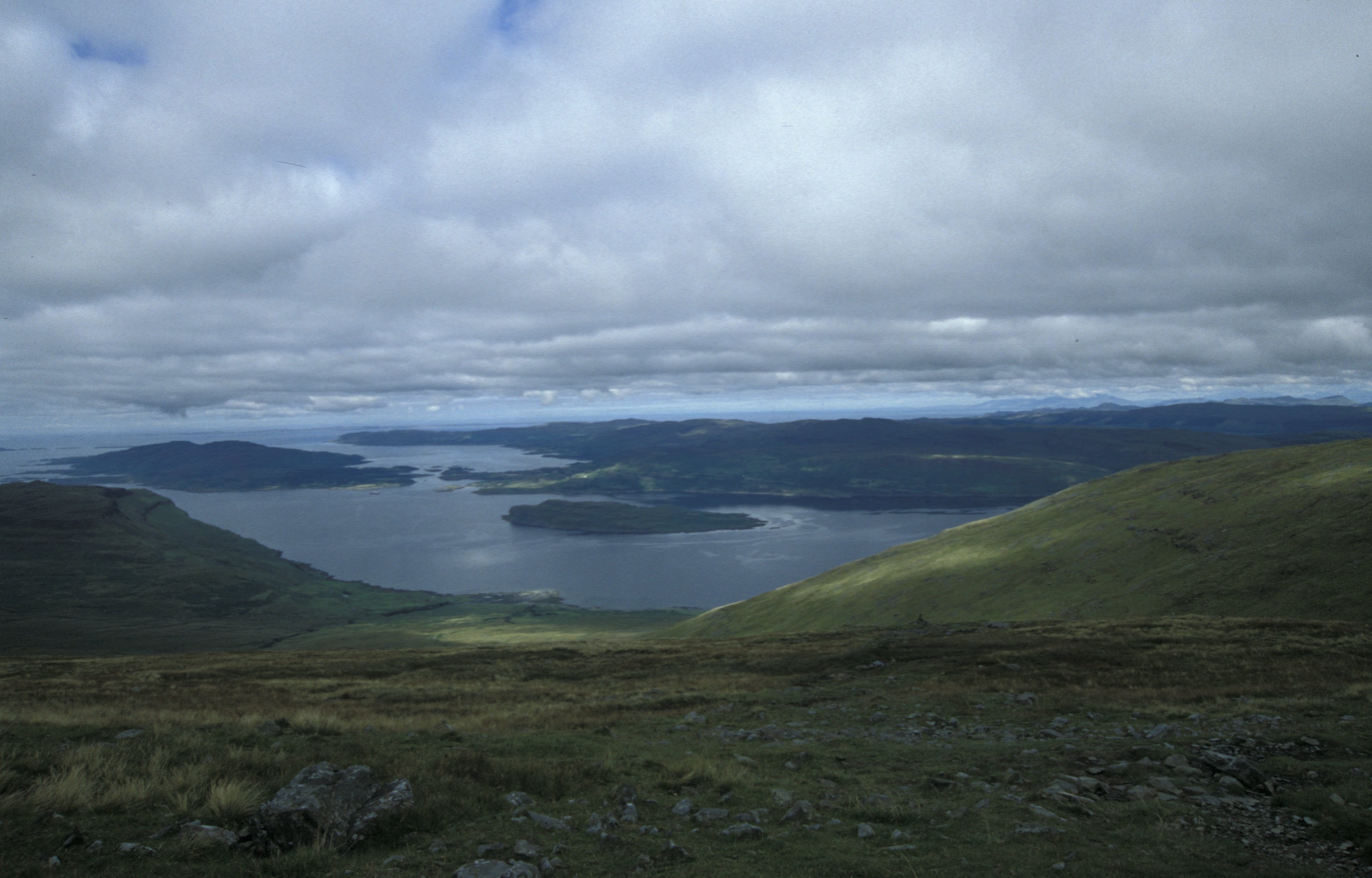
Àird Dearg is a prominent coastal feature located in Argyllshire, Scotland. It is a headland that juts out into the Atlantic Ocean, forming a distinct point along the rugged coastline. The name Àird Dearg translates to "red headland" in Gaelic, which is a fitting description due to the reddish hue of the rocks that make up the headland.
The headland is characterized by its steep cliffs that rise dramatically from the sea, offering breathtaking views of the surrounding landscape. These cliffs are composed of ancient sandstone and have been shaped by the relentless force of the ocean waves over millions of years. The sheer height and vertical nature of the cliffs make them a popular spot for rock climbing enthusiasts.
Àird Dearg is also home to diverse wildlife, including seabirds such as puffins, guillemots, and razorbills, which nest on the cliffs during the breeding season. The surrounding waters are rich in marine life, making it a popular destination for fishing and diving.
Visitors to Àird Dearg can explore the headland by following well-marked trails that meander along the coastline, providing opportunities to witness the breathtaking natural beauty up close. The area is also a designated nature reserve, ensuring the protection of its unique flora and fauna.
Overall, Àird Dearg is a captivating coastal feature that offers visitors a chance to immerse themselves in the stunning scenery and diverse wildlife of Argyllshire's rugged coastline.
If you have any feedback on the listing, please let us know in the comments section below.
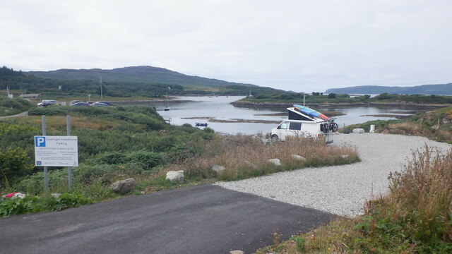
Àird Dearg Images
Images are sourced within 2km of 56.473321/-6.1205413 or Grid Reference NM4638. Thanks to Geograph Open Source API. All images are credited.


Àird Dearg is located at Grid Ref: NM4638 (Lat: 56.473321, Lng: -6.1205413)
Unitary Authority: Argyll and Bute
Police Authority: Argyll and West Dunbartonshire
What 3 Words
///shifters.rooks.tools. Near Salen, Argyll & Bute
Nearby Locations
Related Wikis

Ulva Ferry
Ulva Ferry (Scottish Gaelic: Caolas Ulbha) is a hamlet on the Hebridean island of Mull, on its west coast. Ulva Ferry is on the shore of Ulva Sound (Caolas...

Eorsa
Eorsa is an uninhabited island in the Inner Hebrides of Scotland. == Geography == Eorsa lies in Loch na Keal on the west coast of the Isle of Mull, to...
Loch na Keal
Loch na Keal (Scottish Gaelic: Loch na Caol), meaning Loch of the Kyle, or Narrows, also Loch of the Cliffs, is the principal sea loch on the western,...

Samalan Island
Samalan Island is a small island, just off the Isle of Mull at the mouth of Loch na Keal in the Inner Hebrides, Scotland. To its south west is the island...
Have you been to Àird Dearg?
Leave your review of Àird Dearg below (or comments, questions and feedback).