Àird Fada

Coastal Feature, Headland, Point in Argyllshire

Scotland

Àird Fada

Beach, Isle of Mull Beach House has been inhabited for at least 300 years. Restored in the early 1990s, it had been a working farmhouse which had fallen into disrepair. Now there is just one main building with a few barns and a forest to the west with a small river. It is about 1 mile up the hill from the single track main road which, going east, leads on to Bunessan, Fionnphort and the Island of Iona at the southwestern tip of the Island of Mull. More pictures of Beach House can be found here: <span class="nowrap"><a title="http://bit.ly/Beach_Mull" rel="nofollow ugc noopener" href="http://bit.ly/Beach_Mull">Link</a><img style="margin-left:2px;" alt="External link" title="External link - shift click to open in new window" src="https://s1.geograph.org.uk/img/external.png" width="10" height="10"/></span>
Beach, Isle of Mull Credit: Ralph Averbuch

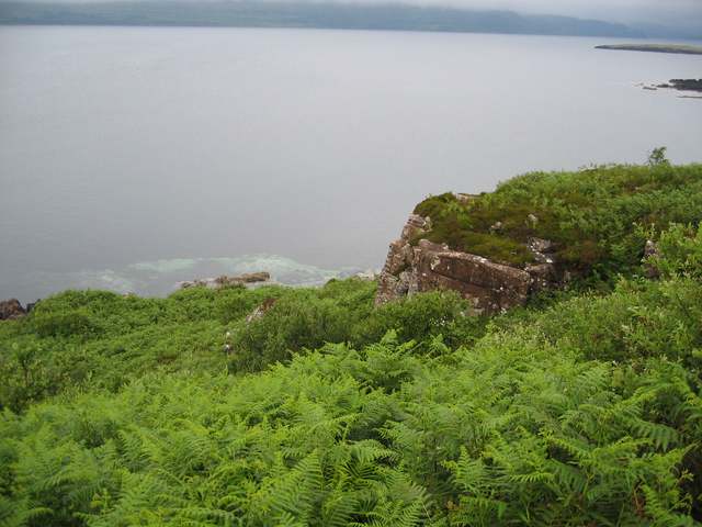
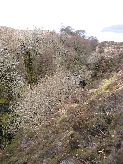
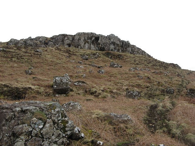
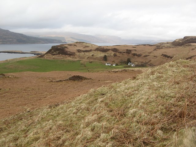
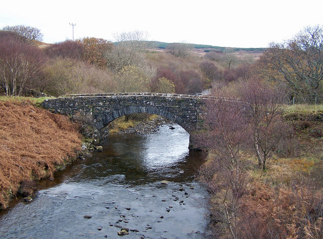
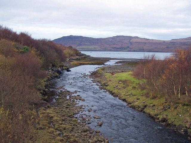
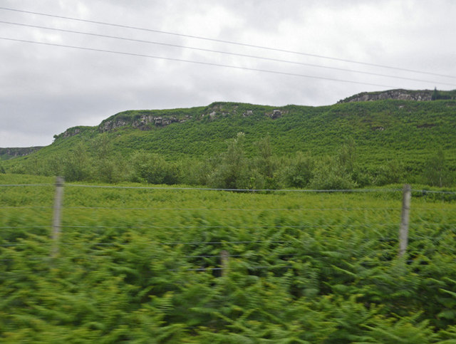
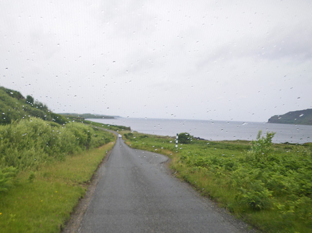
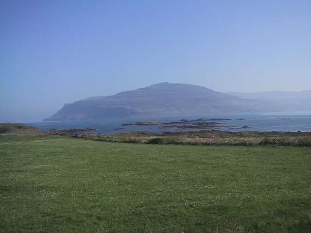
Àird Fada is a prominent coastal feature located in Argyllshire, Scotland. Situated on the western coast, it is a headland that extends out into the Atlantic Ocean, forming a distinctive point. The name "Àird Fada" translates to "long point" in Gaelic, which accurately describes the physical characteristics of this geographical feature.

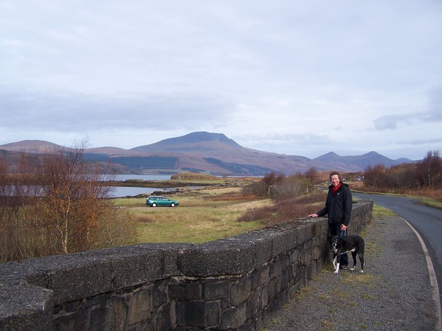
Rising proudly from the rugged coastline, Àird Fada stands as a majestic landform, offering breathtaking views of the surrounding sea and the neighboring islands. Its rocky cliffs, often weathered by the relentless pounding of the ocean waves, create a dramatic and picturesque landscape that attracts both locals and tourists alike.

The headland is known for its diverse wildlife, with numerous seabirds nesting along its cliffs, providing a haven for birdwatchers and nature enthusiasts. The surrounding waters are also home to a variety of marine life, including seals and dolphins, adding to the area's natural beauty and appeal.

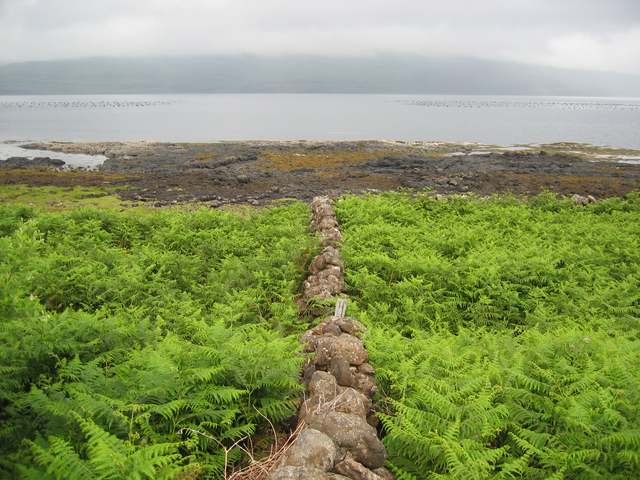
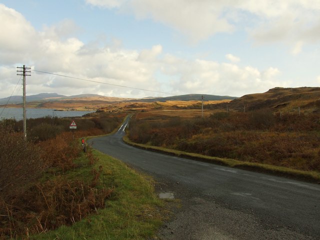
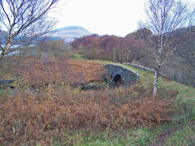
Access to Àird Fada is relatively easy, with a well-maintained footpath leading to the point. This path meanders through lush coastal vegetation, offering hikers a chance to immerse themselves in the stunning scenery before reaching the headland.

Given its location, Àird Fada is subject to the ever-changing weather conditions of the Atlantic coast. Stormy seas and strong winds can create a dramatic spectacle, as waves crash against the cliffs, highlighting the power and force of nature.

Overall, Àird Fada is a captivating coastal feature in Argyllshire, offering visitors a chance to experience the raw beauty of Scotland's western coastline and immerse themselves in its rich natural heritage.

If you have any feedback on the listing, please let us know in the comments section below.
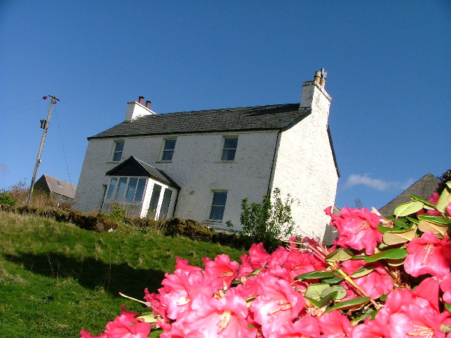
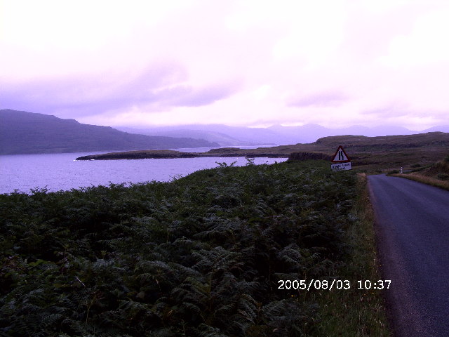
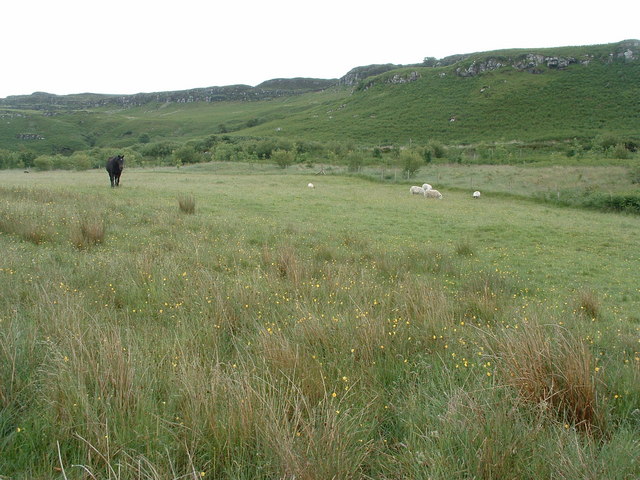
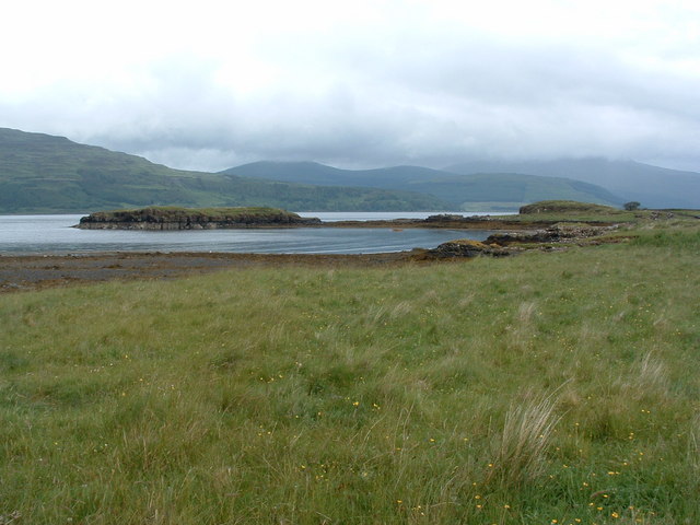
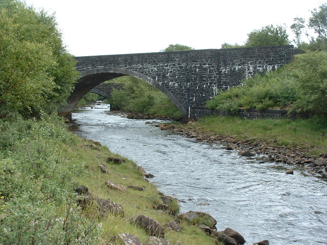
Àird Fada Images

Images are sourced within 2km of 56.34579/-6.1305159 or Grid Reference NM4424. Thanks to Geograph Open Source API. All images are credited.

Beach, Isle of Mull Beach House has been inhabited for at least 300 years. Restored in the early 1990s, it had been a working farmhouse which had fallen into disrepair. Now there is just one main building with a few barns and a forest to the west with a small river. It is about 1 mile up the hill from the single track main road which, going east, leads on to Bunessan, Fionnphort and the Island of Iona at the southwestern tip of the Island of Mull. More pictures of Beach House can be found here: <span class="nowrap"><a title="http://bit.ly/Beach_Mull" rel="nofollow ugc noopener" href="http://bit.ly/Beach_Mull">Link</a><img style="margin-left:2px;" alt="External link" title="External link - shift click to open in new window" src="https://s1.geograph.org.uk/img/external.png" width="10" height="10"/></span>
Beach, Isle of Mull
Beach House has been inhabited for at least 300 years. Restored in the early 1990s, it had been a working farmhouse which had fallen into disrepair. Now there is just one main building with a few barns and a forest to the west with a small river. It is about 1 mile up the hill from the single track main road which, going east, leads on to Bunessan, Fionnphort and the Island of Iona at the southwestern tip of the Island of Mull. More pictures of Beach House can be found here: LinkExternal link
The shore of Loch Scridain, Ross of Mull The single track road, the A849 hugs the shore of this sea loch for much of its length across the Ross of Mull.
The shore of Loch Scridain, Ross of Mull
The single track road, the A849 hugs the shore of this sea loch for much of its length across the Ross of Mull.
Cnoc na coinnich The rock "step" at the top of the hill is the remains of ancient lava eruptions. Erosion has cleared the rock face showing on a small scale the typical stepped landscape seen on the south of Mull.
Cnoc na coinnich
The rock "step" at the top of the hill is the remains of ancient lava eruptions. Erosion has cleared the rock face showing on a small scale the typical stepped landscape seen on the south of Mull.
Aird Fada Small rocky outcrop on the south bank of Loch Scridain
Aird Fada
Small rocky outcrop on the south bank of Loch Scridain
Bridges over the Beach river
Outcrop above Port Mor On the south shore of Loch Scridain.
Outcrop above Port Mor
On the south shore of Loch Scridain.
Wall by Loch Scridain Almost hidden in deep bracken.
Wall by Loch Scridain
Almost hidden in deep bracken.
Old bridge on Beach River
Allt Mòr Deep ravine where a burn has worn away weaker dyke rock. The trees can survive on the crags away from the sheep and deer.
Allt Mòr
Deep ravine where a burn has worn away weaker dyke rock. The trees can survive on the crags away from the sheep and deer.
Cnoc na Coinnich Crags caused by lava flows during Mull's volcanic era. Each flood of lava has left a step on the landscape, hence the term trap landscape - supposedly from Swedish, but "trap" is also an English word for step.
Cnoc na Coinnich
Crags caused by lava flows during Mull's volcanic era. Each flood of lava has left a step on the landscape, hence the term trap landscape - supposedly from Swedish, but "trap" is also an English word for step.
Ormsaig A collection of buildings, some self catering cottages. The hill behind the houses has been replanted with trees.
Ormsaig
A collection of buildings, some self catering cottages. The hill behind the houses has been replanted with trees.
A849 Isle of Mull near Port An Aird Fhada A849 looking east from the start of the track that leads down to the mussel farm at Port An Aird Fhada.
A849 Isle of Mull near Port An Aird Fhada
A849 looking east from the start of the track that leads down to the mussel farm at Port An Aird Fhada.
Old bridge over Beach River I submit this image, taken in November, to contrast with John Allan's view from the same spot taken in summer <a href="https://www.geograph.org.uk/photo/198492">NM4624 : Old bridge on Beach River</a>.
Old bridge over Beach River
I submit this image, taken in November, to contrast with John Allan's view from the same spot taken in summer NM4624 : Old bridge on Beach River.
Same bridge, different viewpoint The old bridge over Beach River seen from the track into Gleann Airigh.
Same bridge, different viewpoint
The old bridge over Beach River seen from the track into Gleann Airigh.
Beach River Viewed from the road bridge, the river is entering Loch Scridain.
Beach River
Viewed from the road bridge, the river is entering Loch Scridain.
New(er) bridge over Beach River The view beyond is over Loch Scridain towards Ben More - the highest mountain on Mull.
The character holding Basil-the-dog is ME - the picture is taken by my wife, Sue.
New(er) bridge over Beach River
The view beyond is over Loch Scridain towards Ben More - the highest mountain on Mull. The character holding Basil-the-dog is ME - the picture is taken by my wife, Sue.
Verdant meadow and ridge slopes along the A849 Road Photographer is positioned at the edge of the A849 Road.
Verdant meadow and ridge slopes along the A849 Road
Photographer is positioned at the edge of the A849 Road.
Road scene along the A849 near Port a Chaomhain
Show me another place!

Àird Fada is located at Grid Ref: NM4424 (Lat: 56.34579, Lng: -6.1305159)

Unitary Authority: Argyll and Bute

Police Authority: Argyll and West Dunbartonshire

What 3 Words

///mailing.backpacks.vows. Near Fionnphort, Argyll & Bute

Related Wikis

Loch Scridain

Loch Scridain is a 15-kilometre-long (9-mile) sea loch, with a west-south west aspect, on the western, or Atlantic coastline of the Isle of Mull, in the...

Tiroran

Tiroran is hamlet on the Isle of Mull in Argyll and Bute, Scotland. == History == In the late 18th century Tiroran House was associated with the McKinnon...

Knockan

Knockan (Scottish Gaelic: An Cnocan) is a township of six crofts in the community of Ardtun, in the south of the Isle of Mull off the west coast of Scotland...

Ardmeanach

Ardmeanach in modern times refers to a peninsula on the Isle of Mull. It is the middle one out of three westward-facing peninsulas on the island, and the...

Shiaba

Shiaba (Scottish Gaelic: Siaba) is a ruined township located on the southwestern peninsula of the Isle of Mull, Scotland. It lies about 8 km to the east...

Ardtun

Ardtun (Scottish Gaelic: Àird Tunna) is a settlement on the Isle of Mull, in Argyll and Bute, Scotland. Ardtun is within the parish of Kilfinichen and...

Pennyghael

Pennyghael (Scottish Gaelic: Peighinn nan Gàidheal) is a small village in the Ross of Mull, Argyll and Bute, Scotland. It is located along the A849 road...

Bunessan

Bunessan (Scottish Gaelic: Bun Easain) is a small village on the Ross of Mull in the south-west of the Isle of Mull, off the west coast of Scotland. The...

Nearby Amenities

Located within 500m of 56.34579,-6.1305159
Source: PGS
Lat/Long: 56.3465837/-6.132171
Àird Fada
Natural: cape
Lat/Long: 56.3462415/-6.1308678
The data included in this document is from www.openstreetmap.org. The data is made available under ODbL.

Have you been to Àird Fada?

Leave your review of Àird Fada below (or comments, questions and feedback).