Àird Glas
Coastal Feature, Headland, Point in Argyllshire
Scotland
Àird Glas
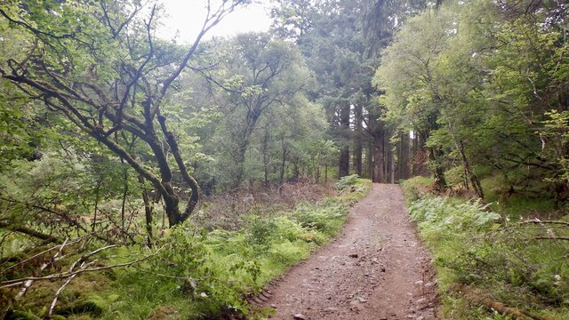
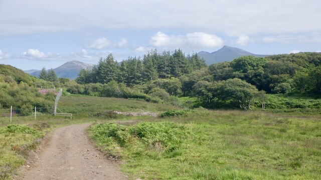
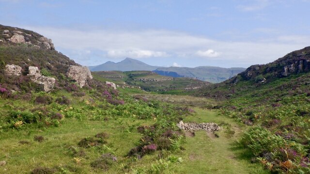
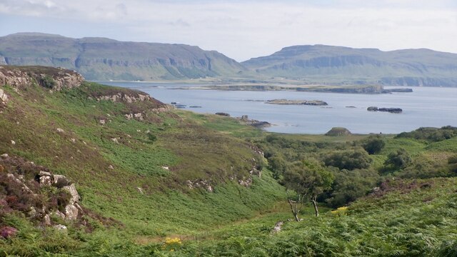
Àird Glas is a captivating coastal feature located in Argyllshire, Scotland. It is known for its stunning headland and prominent point that juts out into the Atlantic Ocean. Situated in a remote and rugged area, Àird Glas offers breathtaking panoramic views of the surrounding landscape and the vast expanse of the sea.
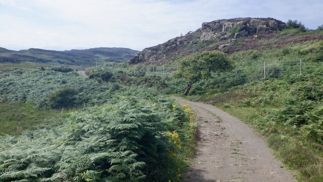
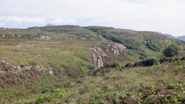
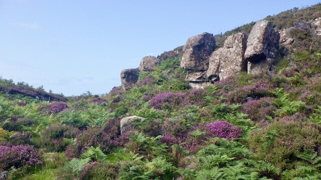
The headland at Àird Glas is characterized by its dramatic cliffs, which tower above the crashing waves below. These cliffs are composed of rugged rock formations, creating a picturesque and awe-inspiring sight. The point of Àird Glas extends out into the ocean, providing a perfect vantage point to observe the abundant marine life in the area, including seals, dolphins, and various seabirds.
The coastal area surrounding Àird Glas is rich in natural beauty and biodiversity. The wild and untamed environment is home to a diverse range of flora and fauna, including rare and protected species. Visitors to Àird Glas can enjoy exploring the rugged coastline, walking along the cliff-top paths, and immersing themselves in the serene and untouched surroundings.
Due to its secluded location, Àird Glas offers a peaceful and tranquil retreat away from the hustle and bustle of everyday life. It is a haven for nature lovers, hikers, and photographers, who are drawn to its unspoiled beauty and unique geographical features. Whether it's admiring the breathtaking sunsets, listening to the crashing waves, or simply taking in the peaceful atmosphere, Àird Glas is a captivating coastal destination that truly showcases the natural wonders of Argyllshire.
If you have any feedback on the listing, please let us know in the comments section below.
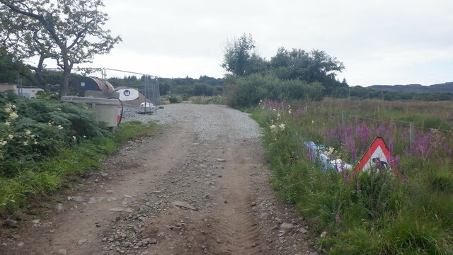
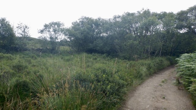
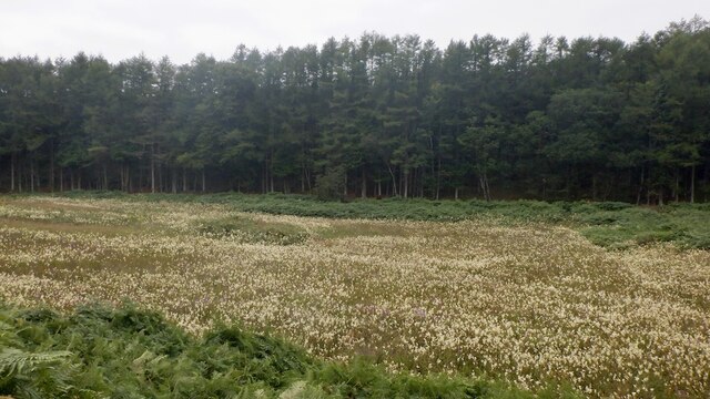
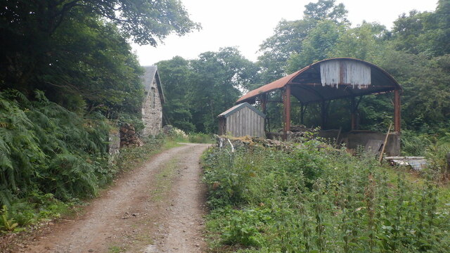
Àird Glas Images
Images are sourced within 2km of 56.484426/-6.1810244 or Grid Reference NM4240. Thanks to Geograph Open Source API. All images are credited.


Àird Glas is located at Grid Ref: NM4240 (Lat: 56.484426, Lng: -6.1810244)
Unitary Authority: Argyll and Bute
Police Authority: Argyll and West Dunbartonshire
What 3 Words
///classics.pickup.hopes. Near Dervaig, Argyll & Bute
Related Wikis

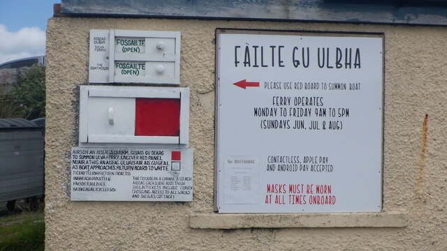
Ulva
Ulva (; Scottish Gaelic: Ulbha) is a small island in the Inner Hebrides of Scotland, off the west coast of Mull. It is separated from Mull by a narrow...

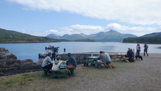
Loch Tuath
Loch Tuath (Scottish Gaelic: Loch-a-Tuath) is a sea loch in the Inner Hebrides, Scotland that separates the Isle of Mull and the island of Ulva. Loch Tuath...

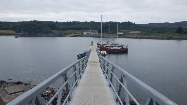
Ulva Ferry
Ulva Ferry (Scottish Gaelic: Caolas Ulbha) is a hamlet on the Hebridean island of Mull, on its west coast. Ulva Ferry is on the shore of Ulva Sound (Caolas...

Achleck
Achleck is a small settlement in the north-west of the Isle of Mull in Argyll and Bute, Scotland. == References ==

Samalan Island
Samalan Island is a small island, just off the Isle of Mull at the mouth of Loch na Keal in the Inner Hebrides, Scotland. To its south west is the island...

Inch Kenneth
Inch Kenneth (Scottish Gaelic: Innis Choinnich) is a small grassy island off the west coast of the Isle of Mull, in Scotland. It is at the entrance of...

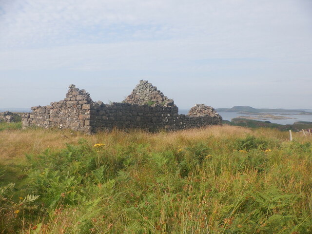
St Kenneth's Chapel
St. Kenneth's Chapel is a ruined chapel on Inch Kenneth Island, Parish of Kilfinichen and Kilvickeon, Isle of Mull, Argyll and Bute, Scotland. It dates...
Torloisk House
Torloisk House (sometimes referred to as Torluck House in 19th century references) on the Isle of Mull, Argyll in Scotland was the family seat held by...
Nearby Amenities
Located within 500m of 56.484426,-6.1810244Have you been to Àird Glas?
Leave your review of Àird Glas below (or comments, questions and feedback).