Aird Point

Coastal Feature, Headland, Point in Inverness-shire

Scotland

Aird Point

Croft land, Suledale Looking south from the end of the public road. The one cottage visible can only be accessed via a grassy track.
Croft land, Suledale Credit: Richard Dorrell

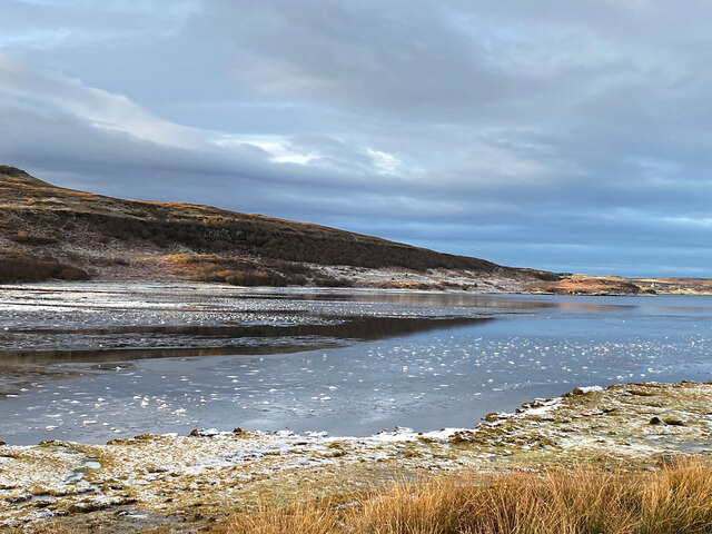
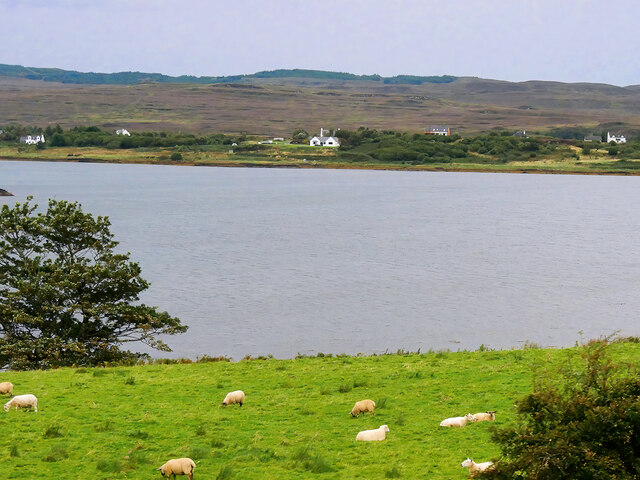
Aird Point is a prominent coastal feature located in Inverness-shire, Scotland. It is a headland that juts out into the North Sea, forming a distinctive point along the coast. Situated approximately 15 miles northeast of Inverness, Aird Point is known for its stunning natural beauty and rugged landscape.

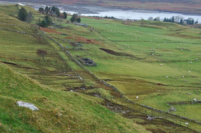
The headland is characterized by its steep cliffs, which rise dramatically from the sea, offering breathtaking panoramic views of the surrounding area. These cliffs provide a nesting ground for various seabird species, including guillemots and puffins, making it a popular spot for birdwatchers and wildlife enthusiasts.

Aird Point is easily accessible by foot, with a well-maintained coastal path that leads visitors along the edge of the headland. This path offers an opportunity to explore the diverse flora and fauna that inhabit the area, including heather, gorse, and wildflowers.

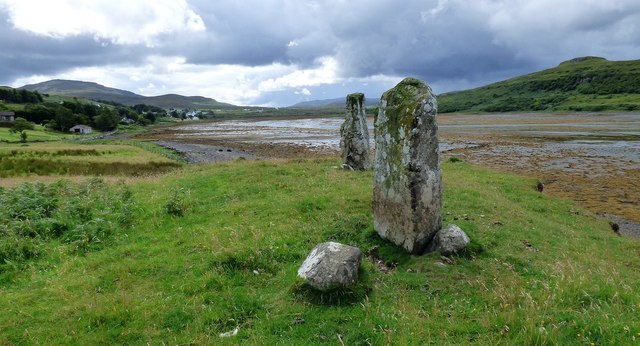
In addition to its natural beauty, Aird Point also has historical significance. The headland is home to the ruins of an ancient fort, dating back to the Iron Age. These ruins serve as a reminder of the area's rich cultural heritage and provide an insight into the lives of its early inhabitants.

Overall, Aird Point is a captivating coastal feature that offers visitors a unique blend of natural beauty and historical interest. Whether it's enjoying the stunning views, observing the diverse wildlife, or exploring the ancient ruins, Aird Point is a must-visit destination for those seeking a truly immersive coastal experience in Inverness-shire.

If you have any feedback on the listing, please let us know in the comments section below.
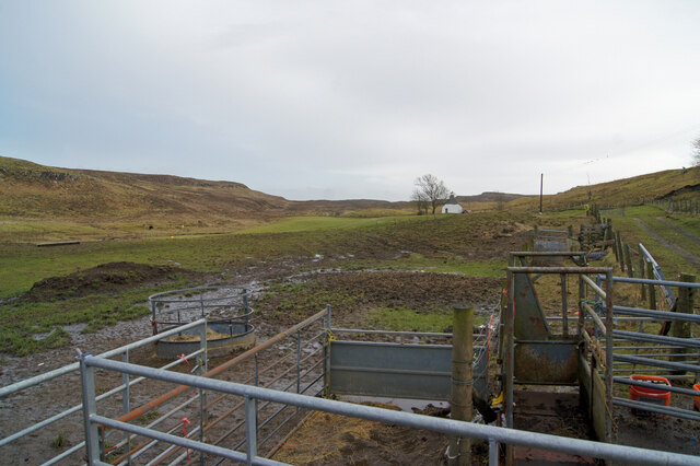
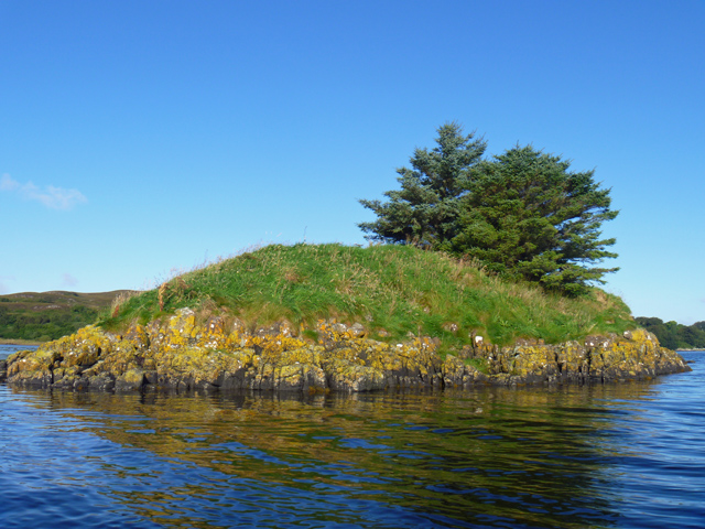
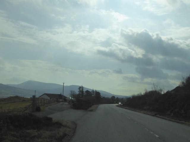
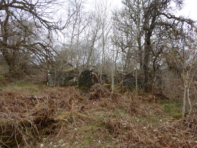
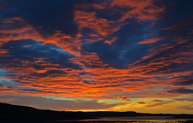
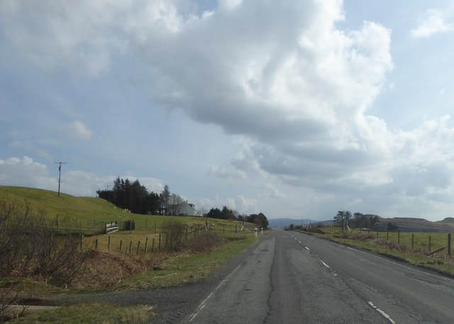
Aird Point Images

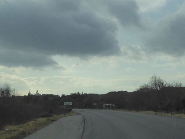
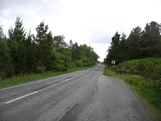
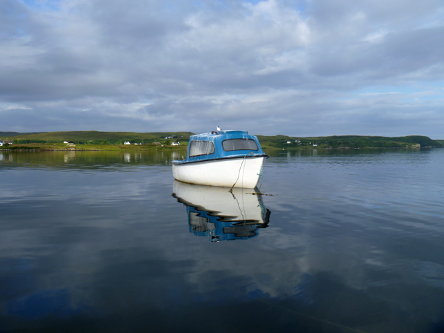
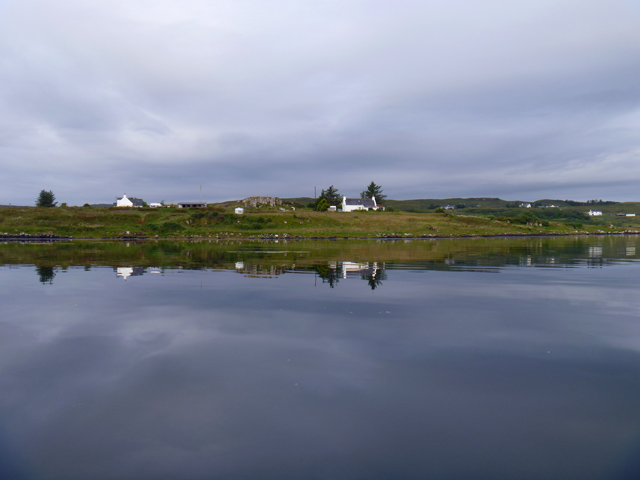
Images are sourced within 2km of 57.49117/-6.3392957 or Grid Reference NG4052. Thanks to Geograph Open Source API. All images are credited.

Croft land, Suledale Looking south from the end of the public road. The one cottage visible can only be accessed via a grassy track.
Croft land, Suledale
Looking south from the end of the public road. The one cottage visible can only be accessed via a grassy track.
Eilean Ard A small tidal island near the head of Loch Treaslane.
Eilean Ard
A small tidal island near the head of Loch Treaslane.
A850 at Treaslane, Isle of Skye
Ruin of Treaslane House According to the OS Name Books (1876-1878) "This name applies to a good one storey farm-house situated on the southern side of Loch Snizort Beag ... in good repair and ... the property of Lauchlan MacDonald Esq. of Snizort".
Ruin of Treaslane House
According to the OS Name Books (1876-1878) "This name applies to a good one storey farm-house situated on the southern side of Loch Snizort Beag ... in good repair and ... the property of Lauchlan MacDonald Esq. of Snizort".
A850 crossing the Treaslane River
The A850 nearing Bernisdale
Tern on a boat The guano on the boat suggests there is often more than one tern resting on it. The land beyond is Aird Bernisdale.
Tern on a boat
The guano on the boat suggests there is often more than one tern resting on it. The land beyond is Aird Bernisdale.
Terns on a boat The boat moored at the mouth of Loch Eyre is clearly a popular perching place for these birds. The land beyond is Aird Bernisdale.
Terns on a boat
The boat moored at the mouth of Loch Eyre is clearly a popular perching place for these birds. The land beyond is Aird Bernisdale.
Aird Point Houses near the end of Aird Point, seen across flat water on Loch Snizort.
Aird Point
Houses near the end of Aird Point, seen across flat water on Loch Snizort.
Loch Eyre sunset A spectacular sky seen over Loch Eyre as the sun drops behind Lyndale Point.
Loch Eyre sunset
A spectacular sky seen over Loch Eyre as the sun drops behind Lyndale Point.
Standing stones at Eyre Three stones are said to have once stood here, but only two now remain.
<span class="nowrap"><a title="https://stonerows.wordpress.com/gazetteer/region/western-isles/eyre-alignment/" rel="nofollow ugc noopener" href="https://stonerows.wordpress.com/gazetteer/region/western-isles/eyre-alignment/">Link</a><img style="margin-left:2px;" alt="External link" title="External link - shift click to open in new window" src="https://s1.geograph.org.uk/img/external.png" width="10" height="10"/></span>
Standing stones at Eyre
Three stones are said to have once stood here, but only two now remain. LinkExternal link
A87 at Eyre
A87 at Eyre
A87 north of Romesdal
A87 heading south near Eyre
Romesdal: former Snizort Post Office Looking across the A87 towards this corrugated building on the junction of an acute track. The building was almost certainly Snizort Post Office, which opened (perhaps not exactly here!) on 10 September 1868 and closed on 17 May 1994.

There is evidence of a small posting slot on the nearest corner, which may have been adorned with a wooden surround with the words POST BOX or similar on it.
Romesdal: former Snizort Post Office
Looking across the A87 towards this corrugated building on the junction of an acute track. The building was almost certainly Snizort Post Office, which opened (perhaps not exactly here!) on 10 September 1868 and closed on 17 May 1994. There is evidence of a small posting slot on the nearest corner, which may have been adorned with a wooden surround with the words POST BOX or similar on it.
Former Post Office at Romesdal The building is little changed since I photographed it seven years earlier in <a href="https://www.geograph.org.uk/photo/3409524">NG4153 : Old building at Romesdal</a>
Its surroundings have changed quite a lot, with the removal of trees to the left of it, opening the view and removing a lot of shade.
Former Post Office at Romesdal
The building is little changed since I photographed it seven years earlier in NG4153 : Old building at Romesdal Its surroundings have changed quite a lot, with the removal of trees to the left of it, opening the view and removing a lot of shade.
Ice near the head of Loch Eyre The loch here is shallow and dries at low tide. The River Haultin enters the sea close by, so the water is quite low in salinity and prone to freezing in cold weather.
Ice near the head of Loch Eyre
The loch here is shallow and dries at low tide. The River Haultin enters the sea close by, so the water is quite low in salinity and prone to freezing in cold weather.
Sheep Grazing near Loch Eyre Loch Eyre is a small sea loch which forms an inlet on the east side of Loch Snizort Beag.
Sheep Grazing near Loch Eyre
Loch Eyre is a small sea loch which forms an inlet on the east side of Loch Snizort Beag.
Show me another place!

Aird Point is located at Grid Ref: NG4052 (Lat: 57.49117, Lng: -6.3392957)

Unitary Authority: Highland

Police Authority: Highlands and Islands

What 3 Words

///foster.guitars.debut. Near Uig, Highland

Related Wikis

Treaslane

Treaslane (Scottish Gaelic: Triaslann) is a small remote scattered crofting hamlet on the Isle of Skye, Scotland. It overlooks the western entrance to...

Bernisdale

Bernisdale (Scottish Gaelic: Beàrnasdal) is a small township, near the head of Loch Snizort Beag, Isle of Skye in the Highlands and Islands and is in the...

Dun Cruinn

Dun Cruinn is a prehistoric site about 10 kilometres (6.2 mi) north-west of Portree, on the Isle of Skye, Scotland. It is on the Skerinish Peninsula, between...

Eyre, Skye

Eyre (Scottish Gaelic: Eighre) is a settlement on the eastern shore of Loch Snizort Beag on the northern coast of Skye in Scotland.The two Eyre standing...

Nearby Amenities

Located within 500m of 57.49117,-6.3392957
Source: PGS
Lat/Long: 57.4889297/-6.3349679
Source: PGS
Lat/Long: 57.4894503/-6.3350095
Source: PGS
Lat/Long: 57.4898215/-6.3350851
Source: PGS
Lat/Long: 57.4901281/-6.3352238
Source: PGS
Lat/Long: 57.4903576/-6.3361368
Source: PGS
Lat/Long: 57.4906765/-6.3366572
Source: PGS
Lat/Long: 57.4911262/-6.3371357
Source: PGS
Lat/Long: 57.491456/-6.338142
Source: PGS
Lat/Long: 57.4917801/-6.3392095
Source: PGS
Lat/Long: 57.4920361/-6.3396376
Power: pole
Lat/Long: 57.4874932/-6.3387839
Power: pole
Lat/Long: 57.4880428/-6.3388604
Power: pole
Lat/Long: 57.4885232/-6.3389238
Power: pole
Lat/Long: 57.4890436/-6.3388393
Power: pole
Lat/Long: 57.4894915/-6.3387769
Power: pole
Lat/Long: 57.4895396/-6.3387696
Power: pole
Lat/Long: 57.490053/-6.3386923
Power: pole
Lat/Long: 57.4904175/-6.3386641
Power: pole
Lat/Long: 57.4894947/-6.3379133
The data included in this document is from www.openstreetmap.org. The data is made available under ODbL.

Have you been to Aird Point?

Leave your review of Aird Point below (or comments, questions and feedback).