Gob Rubha Uisinis
Coastal Feature, Headland, Point in Ross-shire
Scotland
Gob Rubha Uisinis
Gob Rubha Uisinis is a prominent headland located in Ross-shire, Scotland. Situated on the east coast of the Highlands, this coastal feature is known for its rugged terrain and stunning natural beauty. It is located near the village of Ullapool, a popular tourist destination.
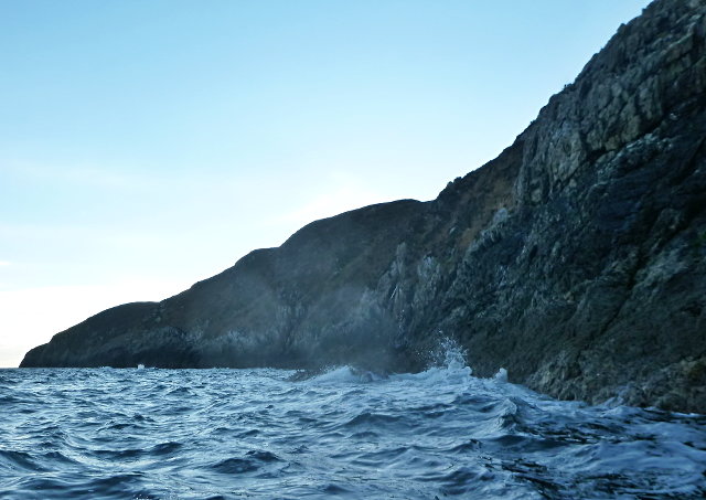
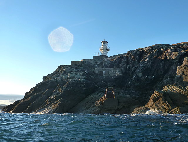
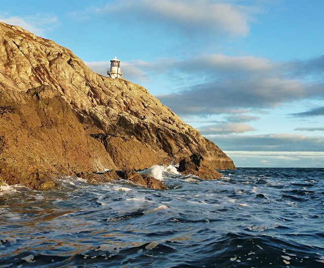
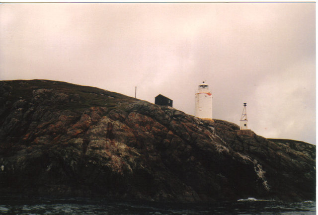
The headland is characterized by steep cliffs that rise dramatically from the sea, providing breathtaking views of the surrounding landscape. The cliffs are composed of ancient rock formations, showcasing the geological history of the area. The headland is also home to a diverse range of wildlife, including seabirds such as gannets and fulmars, as well as seals and dolphins that can often be spotted offshore.
Gob Rubha Uisinis is a popular destination for nature enthusiasts and hikers. There are several walking trails that traverse the headland, allowing visitors to explore its rugged beauty. The trails offer panoramic views of the coastline and the nearby Summer Isles, a group of small islands known for their picturesque charm.
In addition to its natural attractions, Gob Rubha Uisinis holds historical significance. The headland is believed to have been inhabited since prehistoric times, with archaeological remains found in the area. It is also associated with local folklore and legends, adding to its intrigue and allure.
Overall, Gob Rubha Uisinis is a captivating coastal feature that offers a unique blend of natural beauty, wildlife, and historical significance. Whether it's for a scenic hike, bird watching, or simply appreciating the rugged splendor of the Scottish Highlands, this headland is sure to leave a lasting impression on visitors.
If you have any feedback on the listing, please let us know in the comments section below.
Gob Rubha Uisinis Images
Images are sourced within 2km of 57.938397/-6.4734319 or Grid Reference NB3503. Thanks to Geograph Open Source API. All images are credited.
Gob Rubha Uisinis is located at Grid Ref: NB3503 (Lat: 57.938397, Lng: -6.4734319)
Unitary Authority: Na h-Eileanan an Iar
Police Authority: Highlands and Islands
What 3 Words
///held.flickers.sifts. Near Tarbert, Na h-Eileanan Siar
Nearby Locations
Related Wikis

Eilean Liubhaird
Eilean Liubhaird or Eilean Iubhard is an island in the Outer Hebrides, to the east of Lewis. == Geography and geology == The rock is "gneiss bedrock with...

Garbh Eilean, Shiant Islands
Garbh Eilean (Scottish Gaelic Rough Isle) is one of the Shiant Islands at the south end of the Minch on the west coast of Scotland. == Geology == In geological...

Shiant Islands
The Shiant Islands (; Scottish Gaelic: Na h-Eileanan Mòra [nə ˈhelanən ˈmoːɾə] or Na h-Eileanan Seunta [nə ˈhelanən ˈʃiant̪ə] ) or Shiant Isles are a privately...

Orinsay
Orinsay (Scottish Gaelic: Orasaigh) is a crofting village on the Isle of Lewis in the district of Pairc, in the Outer Hebrides, Scotland. The settlement...
Nearby Amenities
Located within 500m of 57.938397,-6.4734319Have you been to Gob Rubha Uisinis?
Leave your review of Gob Rubha Uisinis below (or comments, questions and feedback).