An Aird
Coastal Feature, Headland, Point in Argyllshire
Scotland
An Aird
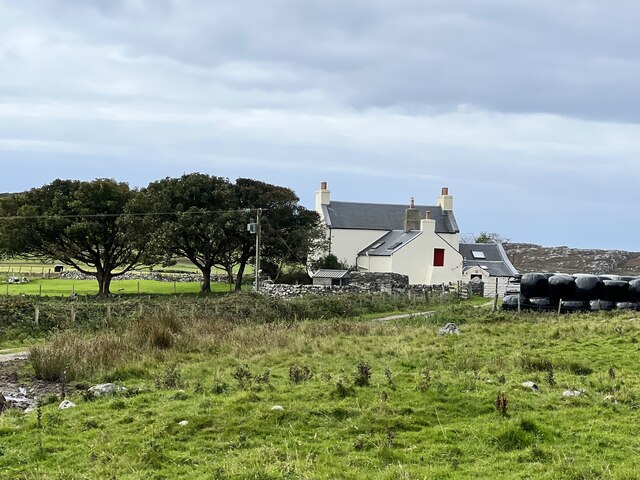
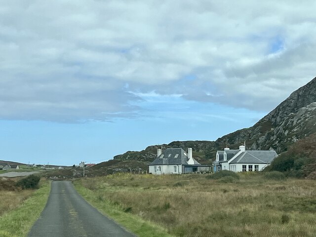
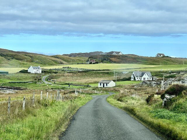
An Aird, located in Argyllshire, Scotland, is a prominent coastal feature known for its stunning headland and picturesque point. Situated on the western coast of Scotland, An Aird offers a breathtaking view of the surrounding seas and landscapes.
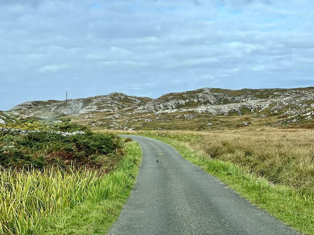
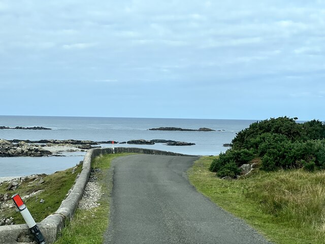
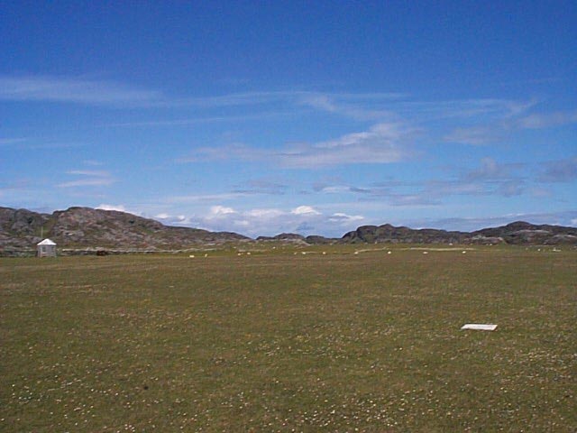
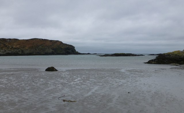
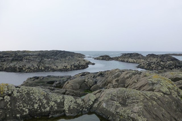
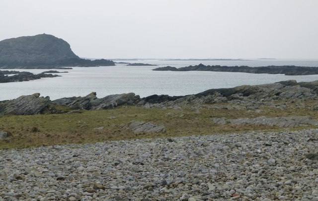
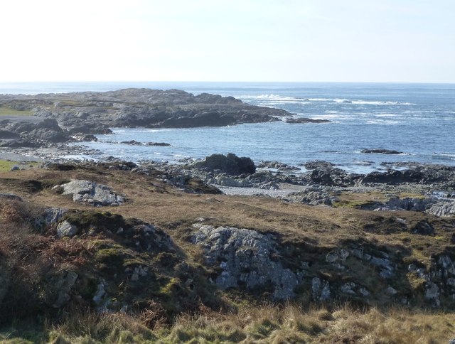
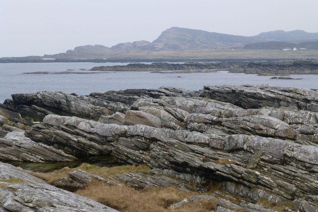
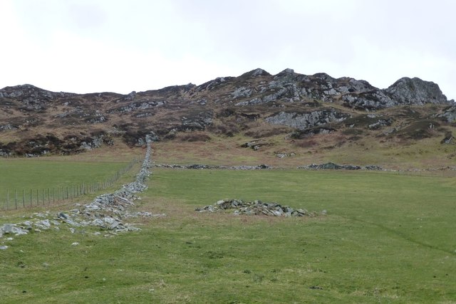
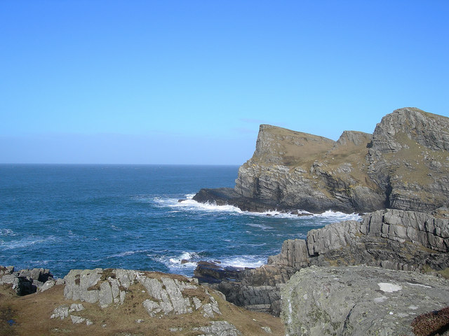
The headland of An Aird juts out into the Atlantic Ocean, forming a distinct and striking feature along the coastline. With its rugged cliffs and rocky outcrops, it provides a dramatic backdrop against the crashing waves. The headland is known for its varied topography, including steep slopes and rocky terrains that add to its charm and allure.
At the tip of An Aird lies a beautiful point, which offers a panoramic view of the surrounding area. The point provides a perfect vantage point for observers to witness the convergence of land and sea. From here, visitors can enjoy sweeping vistas of the ocean, nearby islands, and the distant horizon.
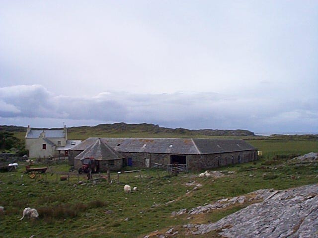
An Aird is also home to a diverse range of flora and fauna. The coastal region supports a rich ecosystem, with seabirds nesting on the cliffs and marine life flourishing in the surrounding waters. The headland's vegetation includes hardy grasses, shrubs, and wildflowers, which add color and vibrancy to the landscape.
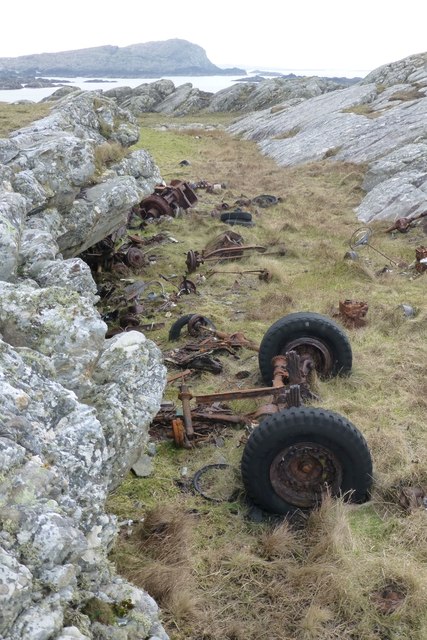
The area surrounding An Aird is a popular destination for nature enthusiasts, hikers, and photographers seeking to capture the rugged beauty of the Scottish coastline. With its striking headland, captivating point, and abundant natural life, An Aird stands as a testament to the awe-inspiring beauty of Scotland's coastal landscapes.
If you have any feedback on the listing, please let us know in the comments section below.
An Aird Images
Images are sourced within 2km of 56.058128/-6.2553178 or Grid Reference NR3593. Thanks to Geograph Open Source API. All images are credited.


An Aird is located at Grid Ref: NR3593 (Lat: 56.058128, Lng: -6.2553178)
Unitary Authority: Argyll and Bute
Police Authority: Argyll and West Dunbartonshire
What 3 Words
///bubbles.variously.sunflower. Near Scalasaig, Argyll & Bute
Nearby Locations
Related Wikis

Dùn Galláin
Dùn Galláin (English: Fort of the Strangers) is a promontory fort located on the Inner Hebridean island of Colonsay, Scotland. The site is located at grid...
Colonsay Airport
Colonsay Airport (Scottish Gaelic: Port-adhair Colbhasaigh) (IATA: CSA, ICAO: EGEY) is located on the island of Colonsay, Argyll and Bute, Scotland. Located...

Ardskenish
Ardskenish is a hamlet on the island of Colonsay, in the civil parish of Colonsay and Oronsay, in the council area of Argyll and Bute, Scotland. ��2�...
Dùn Meadhonach
Dùn Meadhonach (English: Middle Fort) is a hillfort located on the Inner Hebridean island of Colonsay, Scotland. The site is located at grid reference...

St Cathan's Chapel
St Cathan's Chapel (Scottish Gaelic: Cill Chatan) is a ruined chapel on the island of Colonsay, Scotland in the Inner Hebrides. It was dedicated to Cathan...
Colonsay Group
The Colonsay Group is an estimated 5,000 m thick sequence of mildly metamorphosed Neoproterozoic sedimentary rocks that outcrop on the islands of Colonsay...

Colonsay
Colonsay (; Scottish Gaelic: Colbhasa; Scots: Colonsay) is an island in the Inner Hebrides of Scotland, located north of Islay and south of Mull. The ancestral...
Dùn Cholla
Dùn Cholla is a hill fort located on the Inner Hebridean island of Colonsay, Scotland. The site is located at grid reference NR37759150.According to tradition...
Nearby Amenities
Located within 500m of 56.058128,-6.2553178Have you been to An Aird?
Leave your review of An Aird below (or comments, questions and feedback).