Àird Berinish
Coastal Feature, Headland, Point in Ross-shire
Scotland
Àird Berinish

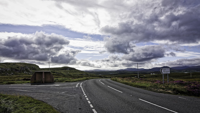
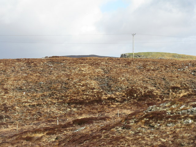
Àird Berinish is a prominent coastal feature located in Ross-shire, Scotland. It is a headland and point that extends into the North Atlantic Ocean, offering breathtaking views of the surrounding coastline. Situated approximately 2 miles northeast of the small village of Gairloch, Àird Berinish is a popular destination for tourists and nature enthusiasts alike.
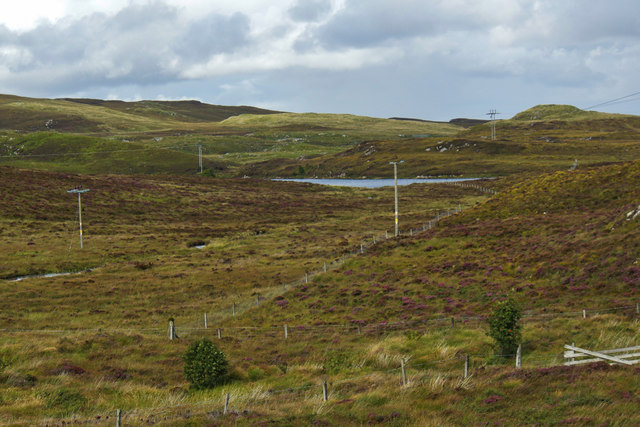
The headland is characterized by rugged cliffs that rise dramatically from the sea, creating a striking contrast against the blue waters. These cliffs provide a nesting site for several seabird species, including puffins, guillemots, and razorbills. Birdwatchers flock to Àird Berinish to observe these fascinating creatures in their natural habitat.
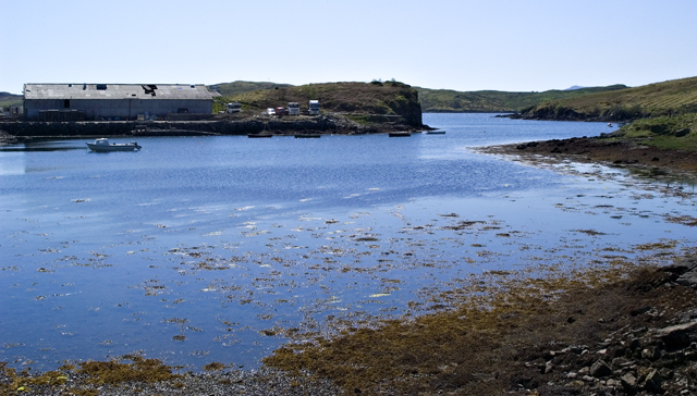
The point is also known for its picturesque beaches and rocky coves, which attract visitors seeking relaxation and tranquility. The sandy beaches offer opportunities for sunbathing, picnicking, and even swimming during the summer months, while the rocky coves provide a sense of seclusion and exploration.
The area surrounding Àird Berinish is rich in marine life, making it a popular spot for fishing and angling. Common species found in the waters include mackerel, cod, and pollock, providing ample opportunities for anglers to try their luck.
For those who enjoy hiking and walking, Àird Berinish offers several scenic trails that wind along the headland and provide stunning views of the surrounding landscape. These trails vary in difficulty, catering to both casual walkers and experienced hikers.
Overall, Àird Berinish is a captivating coastal feature that showcases the natural beauty of the Scottish Highlands. With its rugged cliffs, sandy beaches, and abundant wildlife, it is a must-visit destination for anyone exploring the Ross-shire region.
If you have any feedback on the listing, please let us know in the comments section below.
Àird Berinish Images
Images are sourced within 2km of 58.100639/-6.5013974 or Grid Reference NB3421. Thanks to Geograph Open Source API. All images are credited.
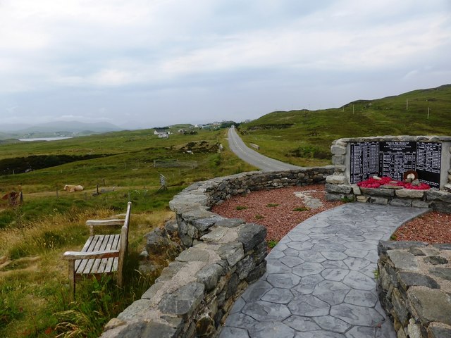
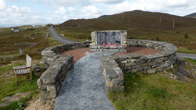
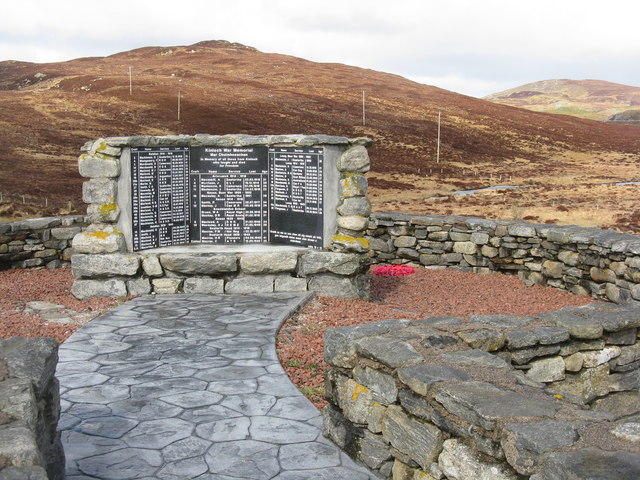
![Kinloch War Memorial 'In memory of all those from Kinloch who fought and died for Freedom'
A list of 54 men and women, aged from 15 - 46, who were lost in the Boer War [2], WW1 [41] and ww2 [11], and the crofts they came from.
The hill beyond is Nabhar.](https://s2.geograph.org.uk/geophotos/05/11/70/5117046_0f95619f.jpg)


Àird Berinish is located at Grid Ref: NB3421 (Lat: 58.100639, Lng: -6.5013974)
Unitary Authority: Na h-Eileanan an Iar
Police Authority: Highlands and Islands
What 3 Words
///drape.highways.gracing. Near Leurbost, Na h-Eileanan Siar
Nearby Locations
Related Wikis

Loch Erisort
Loch Erisort (Scottish Gaelic: Èireasort) is an 8-mile-long narrow sea inlet on the east coast of the Isle of Lewis in the Outer Hebrides off the west...

Cabharstadh
Cabharstadh or Caversta (Scottish Gaelic: Cabharstaigh) is a village on the Isle of Lewis in the Outer Hebrides, Scotland. Caversta is situated in the...
Eilean Chaluim Chille
Eilean Chaluim Chille (Gaelic: island of Saint Columba, Calum Cille) is an unpopulated island in the Outer Hebrides. It lies off the east coast of Lewis...

Cromore
Cromore (Scottish Gaelic: Crò Mòr) is a crofting township on the Isle of Lewis in the district of Pairc, in the Outer Hebrides, Scotland. The settlement...
Nearby Amenities
Located within 500m of 58.100639,-6.5013974Have you been to Àird Berinish?
Leave your review of Àird Berinish below (or comments, questions and feedback).