Àird Sgrathach
Coastal Feature, Headland, Point in Ross-shire
Scotland
Àird Sgrathach
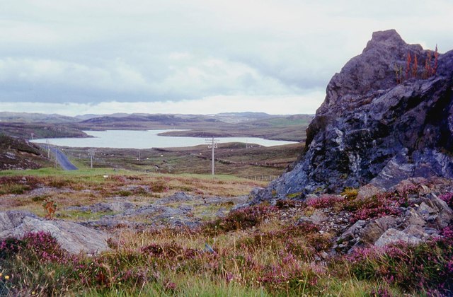
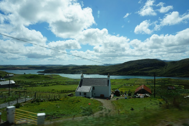
Àird Sgrathach is a prominent coastal feature located in Ross-shire, Scotland. This headland, also known as a point, stretches out into the North Atlantic Ocean, offering breathtaking views of the surrounding landscape. Situated on the northwest coast of Scotland, it is nestled between the villages of Gairloch and Poolewe.
The rugged cliffs of Àird Sgrathach rise steeply from the ocean, reaching impressive heights that add to its dramatic appeal. Its geological formation comprises a mix of ancient rocks, including Torridonian sandstone and Lewisian gneiss, which have been shaped by millions of years of erosion.
The headland is known for its diverse marine and bird life, making it a popular spot for wildlife enthusiasts and birdwatchers. Seals, dolphins, and even whales can often be spotted in the waters surrounding Àird Sgrathach, while seabirds such as gannets, puffins, and guillemots nest on the cliffs. The area also supports a variety of plant species, including heather, gorse, and wildflowers, adding vibrant colors to the landscape.
Visitors to Àird Sgrathach can enjoy a range of outdoor activities, such as hiking along the coastal paths that offer stunning views of the ocean and surrounding mountains. The headland is also a popular spot for fishing, with anglers trying their luck in the abundant waters.
Overall, Àird Sgrathach is a captivating coastal feature that showcases the natural beauty and biodiversity of the Scottish Highlands. Its rugged cliffs, diverse wildlife, and picturesque surroundings make it a must-visit destination for nature lovers and outdoor enthusiasts alike.
If you have any feedback on the listing, please let us know in the comments section below.
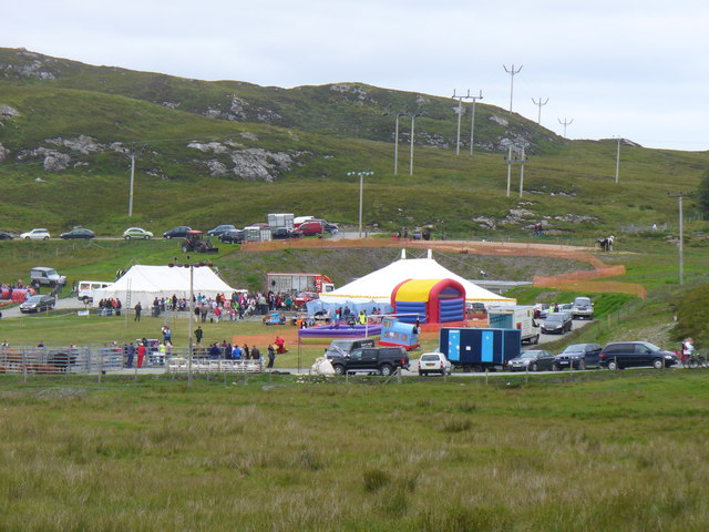
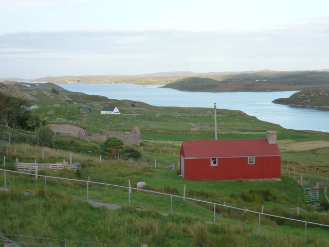
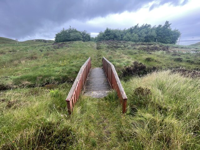
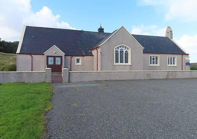
Àird Sgrathach Images
Images are sourced within 2km of 58.092279/-6.5611126 or Grid Reference NB3120. Thanks to Geograph Open Source API. All images are credited.


Àird Sgrathach is located at Grid Ref: NB3120 (Lat: 58.092279, Lng: -6.5611126)
Unitary Authority: Na h-Eileanan an Iar
Police Authority: Highlands and Islands
What 3 Words
///campsites.noun.common. Near Leurbost, Na h-Eileanan Siar
Related Wikis

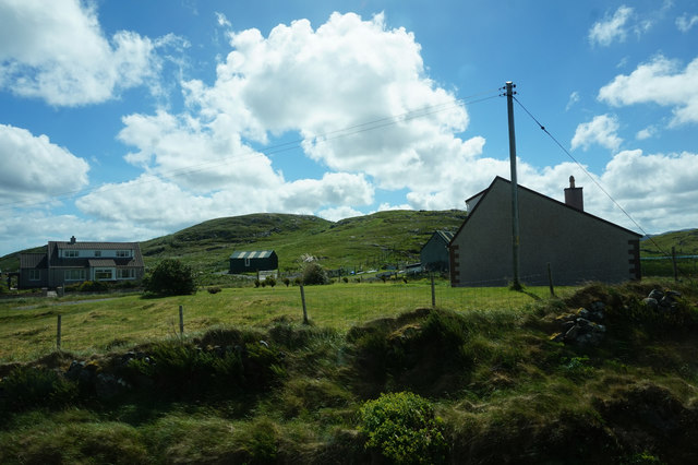
Balallan
Balallan (Scottish Gaelic: Baile Ailein, Bail' Ailein), meaning "Allan's Town", is a crofting township on the Isle of Lewis, in the Outer Hebrides, Scotland...

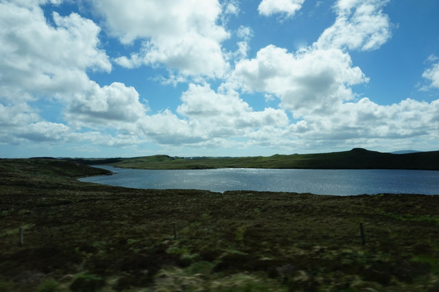
Loch Erisort
Loch Erisort (Scottish Gaelic: Èireasort) is an 8-mile-long narrow sea inlet on the east coast of the Isle of Lewis in the Outer Hebrides off the west...

Cabharstadh
Cabharstadh or Caversta (Scottish Gaelic: Cabharstaigh) is a village on the Isle of Lewis in the Outer Hebrides, Scotland. Caversta is situated in the...
Eilean Chaluim Chille
Eilean Chaluim Chille (Gaelic: island of Saint Columba, Calum Cille) is an unpopulated island in the Outer Hebrides. It lies off the east coast of Lewis...
Nearby Amenities
Located within 500m of 58.092279,-6.5611126Have you been to Àird Sgrathach?
Leave your review of Àird Sgrathach below (or comments, questions and feedback).