Àird na Cille

Coastal Feature, Headland, Point in Inverness-shire

Scotland

Àird na Cille

Slipway and harbour, Carnach Photographed from a walkway above the slipway. 
Part of the road bridge between Scalpay and Harris visible on the left.
Slipway and harbour, Carnach Credit: Richard Dorrell

Àird na Cille is a prominent coastal feature located in Inverness-shire, Scotland. It is specifically situated on the western coast of the Scottish Highlands, near the village of Arisaig. This headland, also known as a point, offers breathtaking views of the surrounding landscape and is a popular tourist destination.

Rising majestically from the coastal plain, Àird na Cille is characterized by its rugged cliffs, towering over the crystal-clear waters of the Atlantic Ocean. The headland extends out into the sea, forming a natural barrier against the powerful waves and currents that crash upon its rocky shores. Its strategic location offers a unique vantage point to observe the dramatic interaction between land and sea.

The headland is rich in natural beauty, with its grassy slopes adorned with colorful wildflowers and scattered with ancient rock formations. It is also home to a diverse range of wildlife, including seabirds, seals, and even the occasional dolphin or whale sighting. The area is a designated conservation site, ensuring the protection of its unique ecosystem.

Visitors to Àird na Cille can explore the headland by following a network of well-maintained walking trails. These trails provide access to various viewpoints and allow visitors to immerse themselves in the stunning coastal scenery. The headland is also a popular spot for outdoor activities such as hiking, birdwatching, and photography.

In summary, Àird na Cille is a captivating coastal feature in Inverness-shire, known for its rugged cliffs, stunning views, and diverse wildlife. It offers visitors a chance to experience the raw beauty of the Scottish Highlands and immerse themselves in the dramatic coastal landscape.

If you have any feedback on the listing, please let us know in the comments section below.

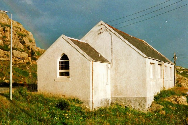
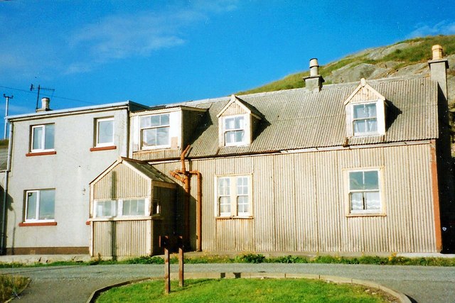
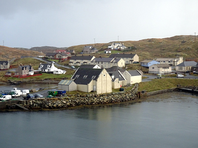
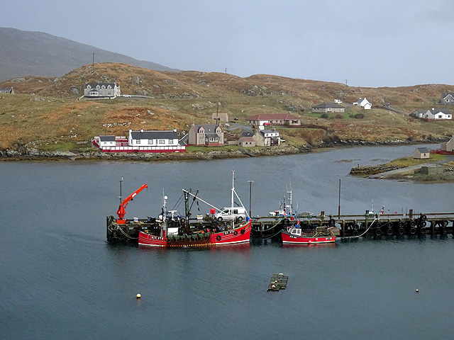
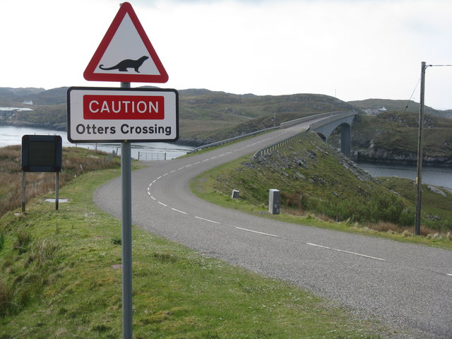
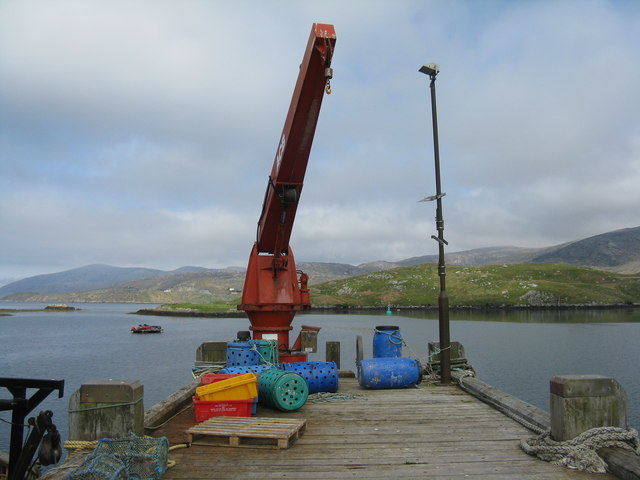
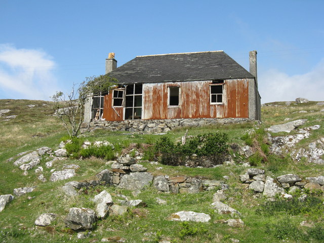
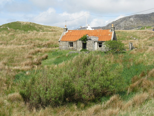
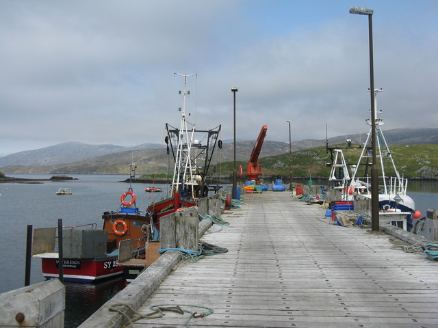
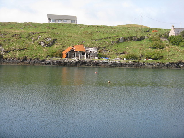
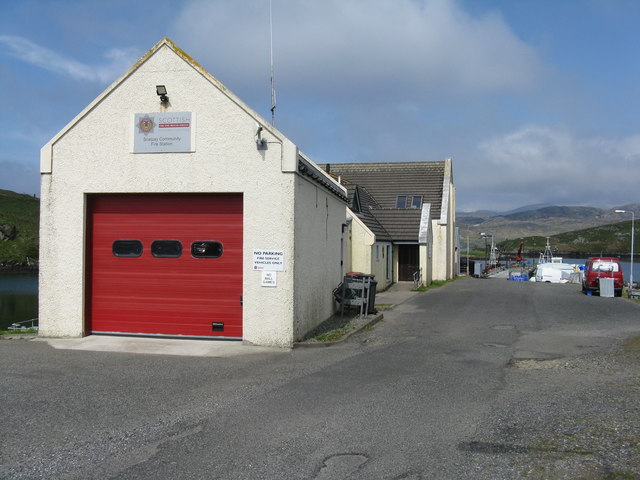
Àird na Cille Images

Images are sourced within 2km of 57.86568/-6.7063311 or Grid Reference NG2095. Thanks to Geograph Open Source API. All images are credited.

Slipway and harbour, Carnach Photographed from a walkway above the slipway. 
Part of the road bridge between Scalpay and Harris visible on the left.
Slipway and harbour, Carnach
Photographed from a walkway above the slipway. Part of the road bridge between Scalpay and Harris visible on the left.
Houses at Scalpay
Houses at Scalpay
Looking north along the Scalpay Bridge
You have been warned!! Now proceed to Scalpay.. I wonder how they got across before the bridge was built?
You have been warned!! Now proceed to Scalpay..
I wonder how they got across before the bridge was built?
Scalpay Church of Scotland The majority on Scalpay chose to remain in the Free Church when the United Free Church reunited with the established Church of Scotland in 1929.  As the congregation was not enough to justify maintaining a large building and a resident minister, the Church of Scotland kept this small church where services were conducted by a lay missionary, who lived with his family in the nearby <a href="https://www.geograph.org.uk/photo/4742256">NG2196 : Scalpay Mission House</a>

Shortly after this photograph was taken the bridge linking Scalpay to the mainland of Harris was completed, making it possible for the remaining Church of Scotland congregation to attend Sunday services in Tarbert and so there was no longer any need for a missionary.

This small church is now used for services by the Free Church (Continuing).  For a later view from the other side see <a href="https://www.geograph.org.uk/photo/1514144">NG2196 : Church Scalpay</a>.
Scalpay Church of Scotland
The majority on Scalpay chose to remain in the Free Church when the United Free Church reunited with the established Church of Scotland in 1929. As the congregation was not enough to justify maintaining a large building and a resident minister, the Church of Scotland kept this small church where services were conducted by a lay missionary, who lived with his family in the nearby NG2196 : Scalpay Mission House Shortly after this photograph was taken the bridge linking Scalpay to the mainland of Harris was completed, making it possible for the remaining Church of Scotland congregation to attend Sunday services in Tarbert and so there was no longer any need for a missionary. This small church is now used for services by the Free Church (Continuing). For a later view from the other side see NG2196 : Church Scalpay.
Scalpay Mission House The corrugated building was once the home of the lay missionary who served the <a href="https://www.geograph.org.uk/photo/4742254">NG2196 : Scalpay Church of Scotland</a>.  Following the opening of the Scalpay Bridge in 1997, soon after this photograph was taken, the small Church of Scotland congregation was able to travel to worship on the Harris mainland and missionaries no longer resided on the island.
Scalpay Mission House
The corrugated building was once the home of the lay missionary who served the NG2196 : Scalpay Church of Scotland. Following the opening of the Scalpay Bridge in 1997, soon after this photograph was taken, the small Church of Scotland congregation was able to travel to worship on the Harris mainland and missionaries no longer resided on the island.
Scalpay village
Scalpay village
Pier at Scalpay
Pier at Scalpay
Scalpay road bridge The west side of the bridge.
Scalpay road bridge
The west side of the bridge.
Approach to Scalpay road bridge My luck was out (again!) regarding the otters - see <a href="https://www.geograph.org.uk/photo/4241872">NF7813 : Otter crossing warning on the Eriskay causeway</a>.
Approach to Scalpay road bridge
My luck was out (again!) regarding the otters - see NF7813 : Otter crossing warning on the Eriskay causeway.
Scalpay road bridge Prior to the opening of the bridge in 1997, the link from Scalpay to the main island of Harris was an hourly ferry service which ceased running at 6.30pm.
Scalpay road bridge
Prior to the opening of the bridge in 1997, the link from Scalpay to the main island of Harris was an hourly ferry service which ceased running at 6.30pm.
Scalpay Bridge/Drochaid Scalpaigh Looking south across the bridge, with otter warning.
Scalpay Bridge/Drochaid Scalpaigh
Looking south across the bridge, with otter warning.
The end of the pier at Scalpay/Scalpaigh Derrick on the main pier. The inlet and land beyond are An Acairseid a Tuath and Àird an Aiseig.
The end of the pier at Scalpay/Scalpaigh
Derrick on the main pier. The inlet and land beyond are An Acairseid a Tuath and Àird an Aiseig.
House on Scalpay/Scalpaigh In need of some restoration.
House on Scalpay/Scalpaigh
In need of some restoration.
Abandoned house At the northern end of the Scalpay Bridge/Drochaid Scalpaigh.
Abandoned house
At the northern end of the Scalpay Bridge/Drochaid Scalpaigh.
The pier at Scalpay/Scalpaigh Neat and tidy, with moored fishing boats and derrick. The inlet and land beyond are An Acairseid a Tuath and Àird an Aiseig.
The pier at Scalpay/Scalpaigh
Neat and tidy, with moored fishing boats and derrick. The inlet and land beyond are An Acairseid a Tuath and Àird an Aiseig.
Looking across An Acairseid a Tuath From the pier to a tumbledown shed and house.
Looking across An Acairseid a Tuath
From the pier to a tumbledown shed and house.
Scalpay Community Fire Station At the head of the pier, with the Community Hall beyond.
Scalpay Community Fire Station
At the head of the pier, with the Community Hall beyond.
Show me another place!

Àird na Cille is located at Grid Ref: NG2095 (Lat: 57.86568, Lng: -6.7063311)

Unitary Authority: Na h-Eileanan an Iar

Police Authority: Highlands and Islands

What 3 Words

///sniff.speech.folds. Near Tarbert, Na h-Eileanan Siar

Related Wikis

Scalpay, Outer Hebrides

Scalpay (; Scottish Gaelic: Sgalpaigh or Sgalpaigh na Hearadh; i.e. "Scalpay of Harris" to distinguish it from Scalpay off Skye) is an island in the Outer...

East Loch Tarbert

East Loch Tarbert (Scottish Gaelic: Loch an Tairbeairt) is a sea loch that lies to the east of Harris in the Outer Hebrides of Scotland. The loch contains...

Sgeotasaigh

Scotasay (Scottish Gaelic: Sgeotasaigh) is small island in the Outer Hebrides of Scotland. It lies 1 kilometre (0.6 miles) off the east coast of Harris...

Eilean Glas, Scalpay

Eilean Glas is a peninsula of Scalpay in the Outer Hebrides, Scotland. Eilean Glas is home to a historic lighthouse. Eilean Glas means Grey/Green Island...

Nearby Amenities

Located within 500m of 57.86568,-6.7063311
Turning Circle
Lat/Long: 57.8676109/-6.7010277
Àird na Cille
Name En: Ardnakille
Name Gd: Àird na Cille
Place: hamlet
Lat/Long: 57.8667792/-6.7005704
Port an Aiseig
Natural: bay
Lat/Long: 57.8647593/-6.7072005
Barrier: cattle_grid
Lat/Long: 57.8680717/-6.7002988
Barrier: cattle_grid
Lat/Long: 57.8660519/-6.7010249
Passing Place
Lat/Long: 57.8665686/-6.7002674
Power: pole
Lat/Long: 57.8641614/-6.7050998
Power: pole
Lat/Long: 57.8644204/-6.7038379
Power: pole
Lat/Long: 57.8645043/-6.7026674
Power: pole
Lat/Long: 57.8645109/-6.7021475
Power: pole
Lat/Long: 57.8649004/-6.70194
Power: pole
Lat/Long: 57.8647861/-6.7006426
Power: pole
Lat/Long: 57.8652295/-6.7029788
Power: pole
Lat/Long: 57.8660334/-6.7021115
Power: pole
Lat/Long: 57.8666776/-6.7014134
Power: pole
Lat/Long: 57.8672629/-6.7007693
Power: pole
Lat/Long: 57.8679562/-6.701163
Power: pole
Lat/Long: 57.8687303/-6.7012186
Tidal Pond
Place: locality
Lat/Long: 57.8629405/-6.7003741
The data included in this document is from www.openstreetmap.org. The data is made available under ODbL.

Have you been to Àird na Cille?

Leave your review of Àird na Cille below (or comments, questions and feedback).