Àird Bheag
Coastal Feature, Headland, Point in Inverness-shire
Scotland
Àird Bheag
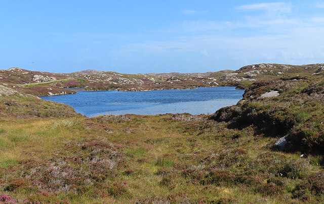
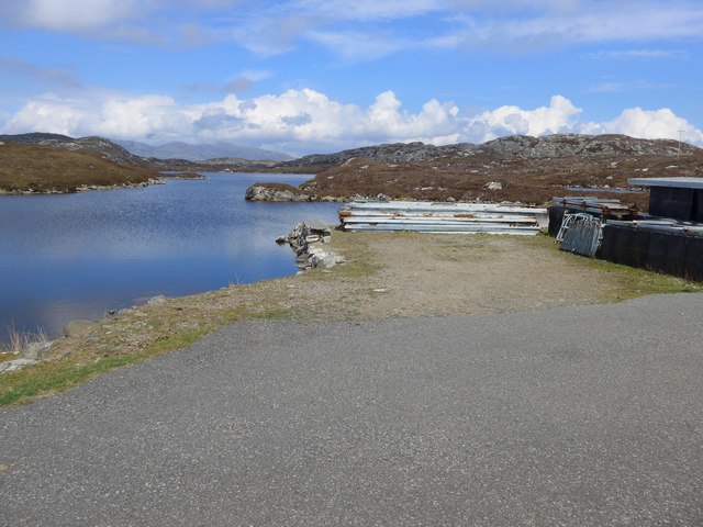
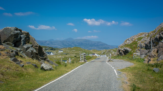
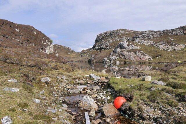
Àird Bheag is a prominent coastal feature located in Inverness-shire, Scotland. It is a headland that extends into the North Sea, forming a distinct point on the coastline. With its stunning views and rugged terrain, it is a popular destination for nature lovers and outdoor enthusiasts.
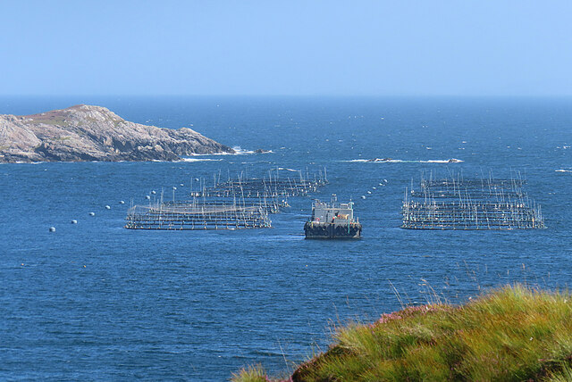
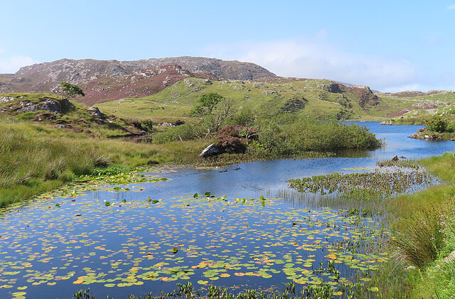
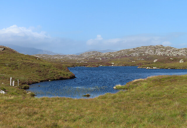
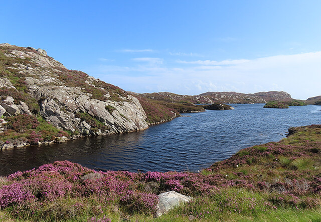
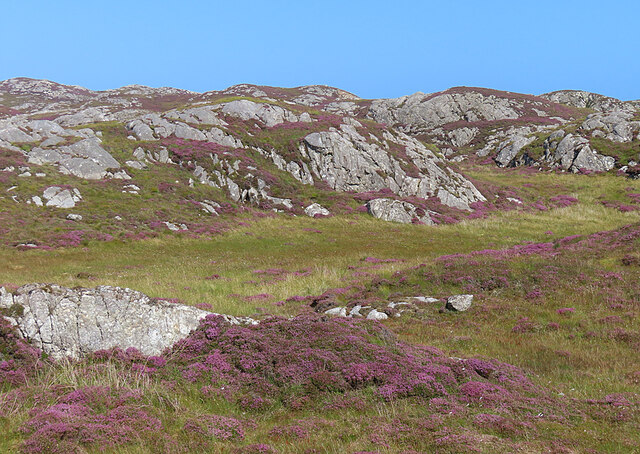
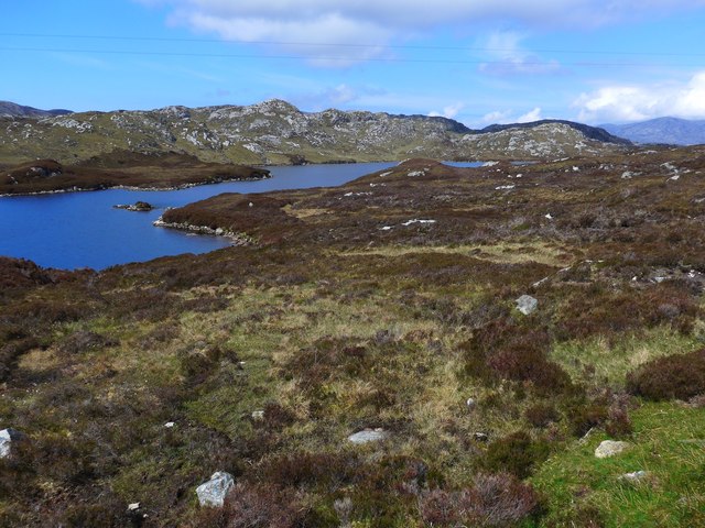
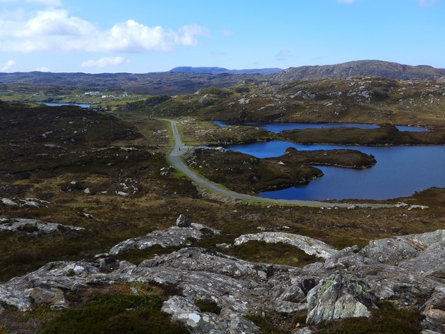
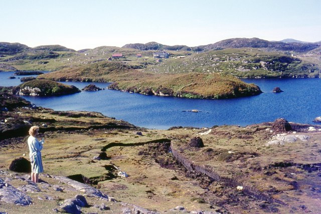
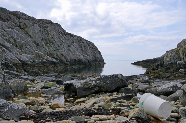
Situated on the northeastern coast of Scotland, Àird Bheag offers breathtaking panoramic vistas of the surrounding landscape. Its elevated position provides visitors with commanding views of the sea, as well as the nearby coastal cliffs and rolling hills. The headland is known for its dramatic rocky outcrops, which add to its rugged beauty.
The area around Àird Bheag is rich in biodiversity, with a variety of plant and animal species calling it home. The headland's coastal position attracts numerous seabirds, including gulls, puffins, and cormorants. Visitors may also spot seals and dolphins swimming in the waters below.
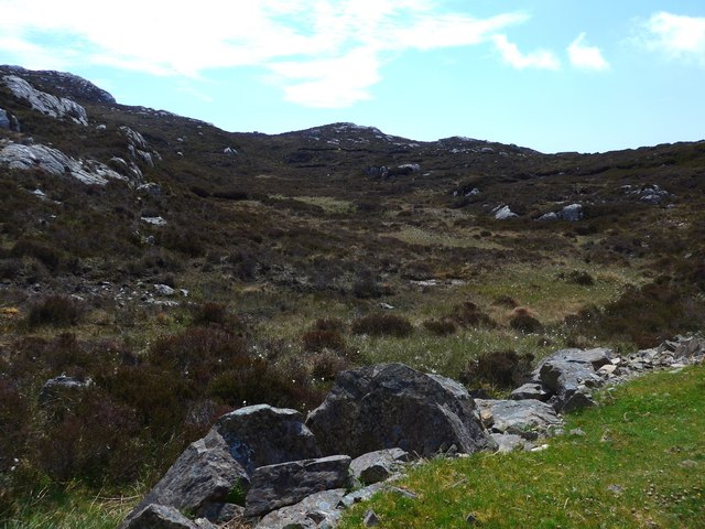
Access to Àird Bheag is relatively easy, with a well-maintained footpath leading to the headland. This path allows visitors to explore the area safely while taking in the breathtaking scenery. Along the way, there are several designated viewpoints where one can pause and fully appreciate the natural beauty of the surroundings.
Whether it is for a leisurely stroll, birdwatching, or simply enjoying the tranquility of the Scottish coastline, Àird Bheag offers a unique and captivating experience for visitors. Its rugged cliffs, diverse wildlife, and stunning views make it an ideal destination for anyone seeking to connect with nature and immerse themselves in the beauty of the Scottish coast.
If you have any feedback on the listing, please let us know in the comments section below.
Àird Bheag Images
Images are sourced within 2km of 57.825391/-6.7633161 or Grid Reference NG1791. Thanks to Geograph Open Source API. All images are credited.

Àird Bheag is located at Grid Ref: NG1791 (Lat: 57.825391, Lng: -6.7633161)
Unitary Authority: Na h-Eileanan an Iar
Police Authority: Highlands and Islands
What 3 Words
///lamp.sourcing.suits. Near Tarbert, Na h-Eileanan Siar
Nearby Locations
Related Wikis

Stockinish Island
Stockinish Island (Scottish Gaelic: Eilean Stocainis) is an uninhabited island off Harris, in the Outer Hebrides. == Geography and geology == Stockinish...

East Loch Tarbert
East Loch Tarbert (Scottish Gaelic: Loch an Tairbeairt) is a sea loch that lies to the east of Harris in the Outer Hebrides of Scotland. The loch contains...

Sgeotasaigh
Scotasay (Scottish Gaelic: Sgeotasaigh) is small island in the Outer Hebrides of Scotland. It lies 1 kilometre (0.6 miles) off the east coast of Harris...

Scalpay, Outer Hebrides
Scalpay (; Scottish Gaelic: Sgalpaigh or Sgalpaigh na Hearadh; i.e. "Scalpay of Harris" to distinguish it from Scalpay off Skye) is an island in the Outer...
Eilean Glas, Scalpay
Eilean Glas is a peninsula of Scalpay in the Outer Hebrides, Scotland. Eilean Glas is home to a historic lighthouse. Eilean Glas means Grey/Green Island...

Eilean Glas Lighthouse
Eilean Glas Lighthouse is situated on the east coast of the island of Scalpay in the Outer Hebrides of Scotland. It was one of the original four lights...

Harris distillery
Harris distillery is a Scotch whisky and Gin distillery in Tarbert on the Isle of Harris, Scotland. The distillery was the first legal distillery ever...

Tarbert, Harris
Tarbert (Scottish Gaelic: An Tairbeart [ən̪ˠ ˈt̪ɛrʲɛbərˠʃt̪]) is the main community on Harris in the Western Isles of Scotland. The name means "isthmus...
Nearby Amenities
Located within 500m of 57.825391,-6.7633161Have you been to Àird Bheag?
Leave your review of Àird Bheag below (or comments, questions and feedback).