Àird Stìthcleit
Coastal Feature, Headland, Point in Inverness-shire
Scotland
Àird Stìthcleit
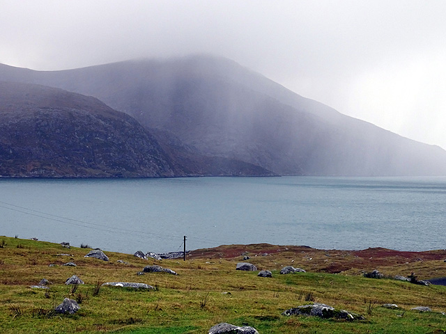
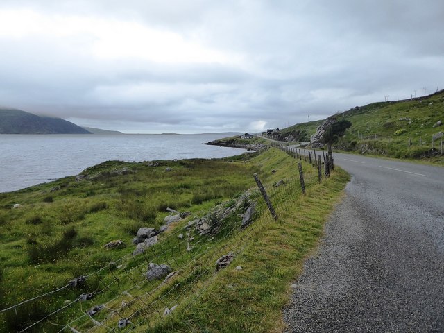
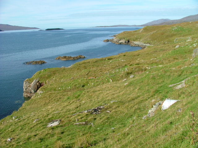
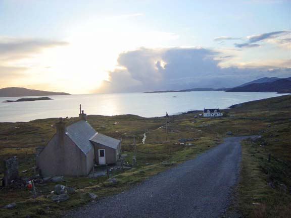
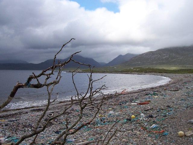
Àird Stìthcleit is a prominent coastal feature located in Inverness-shire, Scotland. Situated on the western coast, it is a headland jutting out into the North Atlantic Ocean. Also known as Stickle Point, this geographical formation offers breathtaking views of the surrounding landscape and the open sea.
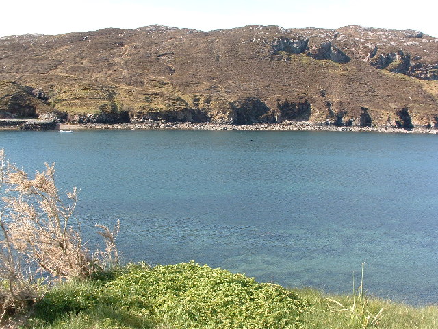
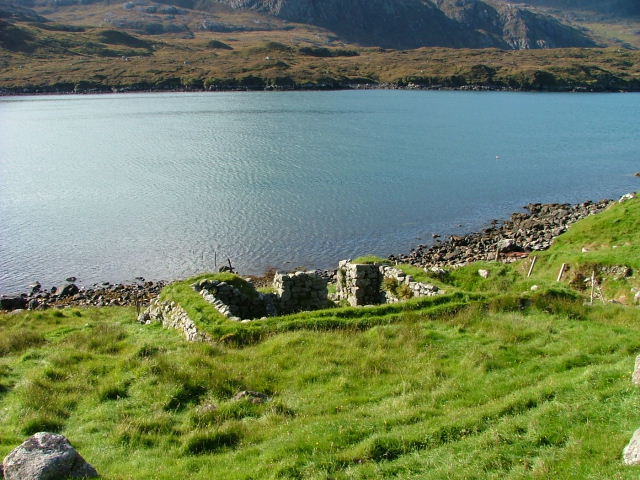
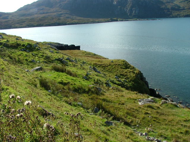
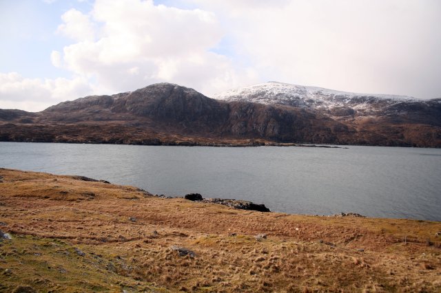
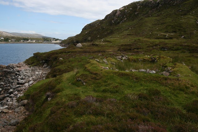
Rising steeply from the rugged coastline, Àird Stìthcleit is characterized by its towering cliffs that provide a dramatic backdrop against the crashing waves. The headland is composed of various types of rock, including sandstone and igneous formations, which display a range of colors and textures. These geological features make it a popular destination for geology enthusiasts and nature lovers alike.
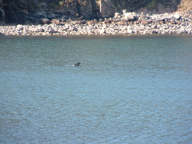
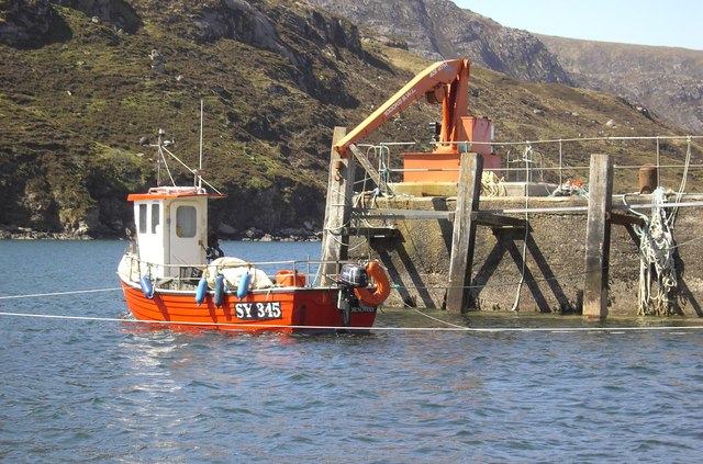
The area surrounding Àird Stìthcleit is abundant in wildlife, with numerous seabirds nesting on the cliffs, including puffins, guillemots, and razorbills. The coastal waters are home to a diverse array of marine life, attracting seals, dolphins, and occasional sightings of whales.
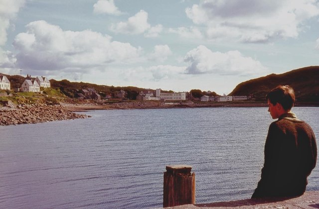
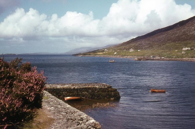
Access to Àird Stìthcleit is relatively easy, with a pathway leading from the nearby coastal village. Visitors can explore the headland on foot, following a well-trodden trail that offers panoramic views of the surrounding coastline and the distant mountains. The area is also a popular spot for fishing, with anglers often casting their lines from the cliffs into the deep waters below.
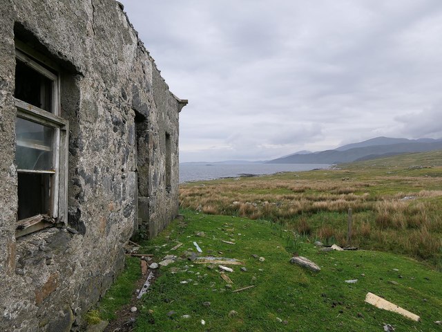
Àird Stìthcleit is not only a natural wonder but also holds historical significance. The headland has been inhabited for centuries, with evidence of ancient settlements and burial sites discovered in the vicinity. It serves as a reminder of the rich human history that has shaped the region.
Overall, Àird Stìthcleit is a captivating coastal feature that showcases the raw beauty of the Scottish coastline, providing visitors with an opportunity to immerse themselves in nature and appreciate the rich natural and cultural heritage of Inverness-shire.
If you have any feedback on the listing, please let us know in the comments section below.
Àird Stìthcleit Images
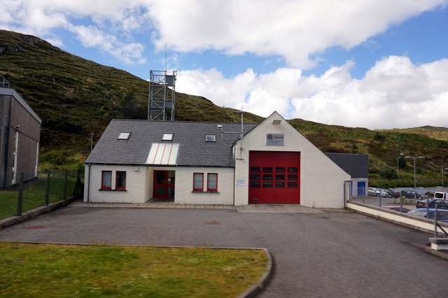
Images are sourced within 2km of 57.902838/-6.8434196 or Grid Reference NB1300. Thanks to Geograph Open Source API. All images are credited.
Àird Stìthcleit is located at Grid Ref: NB1300 (Lat: 57.902838, Lng: -6.8434196)
Unitary Authority: Na h-Eileanan an Iar
Police Authority: Highlands and Islands
What 3 Words
///mobile.obligated.snuggle. Near Tarbert, Na h-Eileanan Siar
Nearby Locations
Related Wikis

Harris, Outer Hebrides
Harris (Scottish Gaelic: Na Hearadh, pronounced [nə ˈhɛɾəɣ] ) is the southern and more mountainous part of Lewis and Harris, the largest island in the...

Ardhasaig
Ardhasaig (Scottish Gaelic: Àird Àsaig) is a settlement on the western coast of north Harris, in the Outer Hebrides, Scotland. Ardhasaig is also within...

Tarbert, Harris
Tarbert (Scottish Gaelic: An Tairbeart [ən̪ˠ ˈt̪ɛrʲɛbərˠʃt̪]) is the main community on Harris in the Western Isles of Scotland. The name means "isthmus...

Harris distillery
Harris distillery is a Scotch whisky and Gin distillery in Tarbert on the Isle of Harris, Scotland. The distillery was the first legal distillery ever...
Nearby Amenities
Located within 500m of 57.902838,-6.8434196Have you been to Àird Stìthcleit?
Leave your review of Àird Stìthcleit below (or comments, questions and feedback).