Àird Bun Abhainn Eadarra
Coastal Feature, Headland, Point in Inverness-shire
Scotland
Àird Bun Abhainn Eadarra
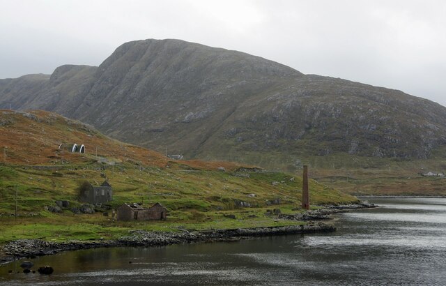
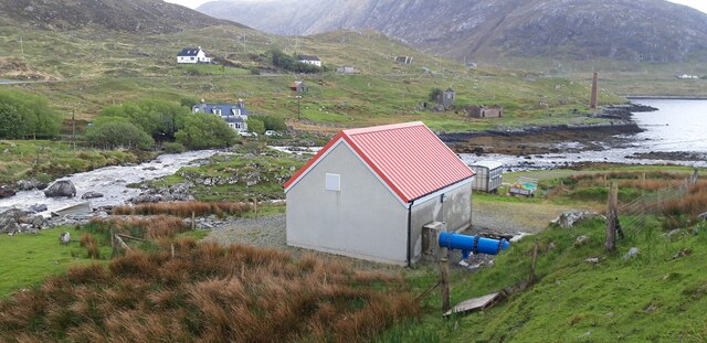
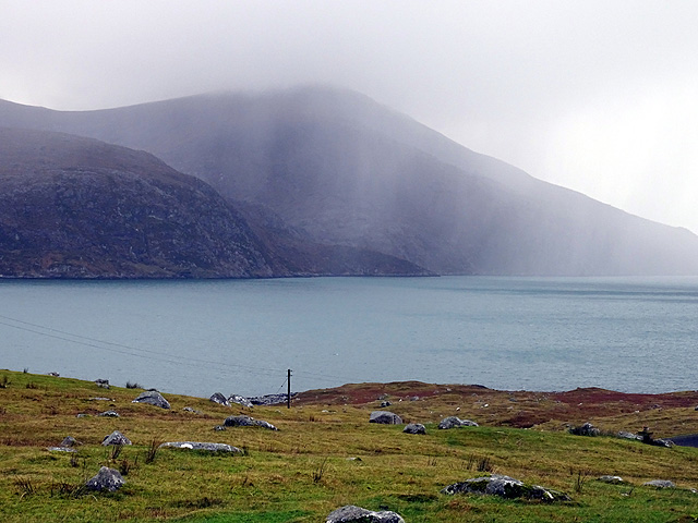
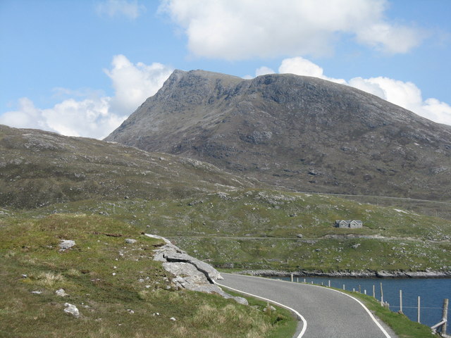
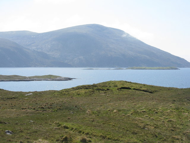
Àird Bun Abhainn Eadarra is a captivating coastal feature located in Inverness-shire, Scotland. This stunning headland is situated on the eastern coast of the country, overlooking the mesmerizing waters of the North Sea. With rugged cliffs, rocky outcrops, and breathtaking views, it is a popular destination for nature enthusiasts and tourists alike.
The headland is characterized by its dramatic topography, with steep slopes that descend into the sea. Its prominent position makes it an ideal spot for birdwatching, as it provides an excellent vantage point to observe various seabird species such as gannets, puffins, and kittiwakes. Additionally, the coastal waters surrounding Àird Bun Abhainn Eadarra offer opportunities for seal and dolphin sightings.
This headland also holds historical significance, as it was once home to an ancient settlement. Archaeological remains, including stone structures and burial sites, have been discovered in the area, providing valuable insights into the lives of the people who once inhabited this rugged coastline.
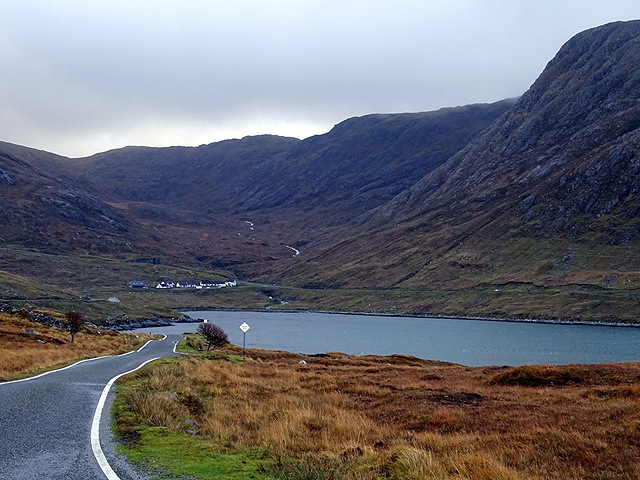
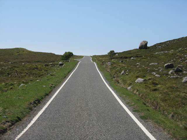
Visitors to Àird Bun Abhainn Eadarra can explore the headland by following coastal paths that wind their way along the cliffs, offering breathtaking views of the surrounding landscape. The area is also known for its diverse flora, with wildflowers, grasses, and heather adorning the rugged terrain.
Overall, Àird Bun Abhainn Eadarra is a captivating coastal feature that offers a unique blend of natural beauty and historical significance. Its stunning landscapes, diverse wildlife, and rich history make it a must-visit destination for those exploring the Inverness-shire region.
If you have any feedback on the listing, please let us know in the comments section below.
Àird Bun Abhainn Eadarra Images
Images are sourced within 2km of 57.932883/-6.8594322 or Grid Reference NB1204. Thanks to Geograph Open Source API. All images are credited.


![The A859 on Harris Looking north to the bridges [old and new] over Abhainn Ceann an Ora and, on the left, the entrance to a quarry.](https://s1.geograph.org.uk/geophotos/04/98/86/4988621_9a31284e.jpg)
Àird Bun Abhainn Eadarra is located at Grid Ref: NB1204 (Lat: 57.932883, Lng: -6.8594322)
Unitary Authority: Na h-Eileanan an Iar
Police Authority: Highlands and Islands
What 3 Words
///sensible.model.promising. Near Tarbert, Na h-Eileanan Siar
Nearby Locations
Related Wikis

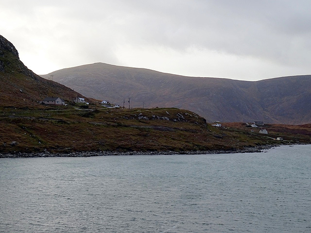
Bun Abhainn Eadarra
Bun Abhainn Eadarra or Bunavoneadar is a hamlet adjacent to the Loch Bun Abhainn Eadarra, on the south shore of North Harris, in the Outer Hebrides, Scotland...

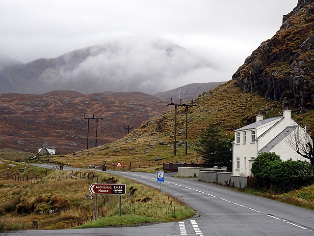
Ardhasaig
Ardhasaig (Scottish Gaelic: Àird Àsaig) is a settlement on the western coast of north Harris, in the Outer Hebrides, Scotland. Ardhasaig is also within...

Harris, Outer Hebrides
Harris (Scottish Gaelic: Na Hearadh, pronounced [nə ˈhɛɾəɣ] ) is the southern and more mountainous part of Lewis and Harris, the largest island in the...

Uisgneabhal Mor
Uisgnabhal Mor (729 m) is a mountain in Harris, in the Outer Hebrides of Scotland. A complex mountain of several ridges and summits, it lies in the centre...
Nearby Amenities
Located within 500m of 57.932883,-6.8594322Have you been to Àird Bun Abhainn Eadarra?
Leave your review of Àird Bun Abhainn Eadarra below (or comments, questions and feedback).