Àird Mhiabhaig

Coastal Feature, Headland, Point in Inverness-shire

Scotland

Àird Mhiabhaig

Head of Loch Mhiabhaig Looking north to the mountains of North Harris from the B887 roadside.
Head of Loch Mhiabhaig Credit: Richard Dorrell

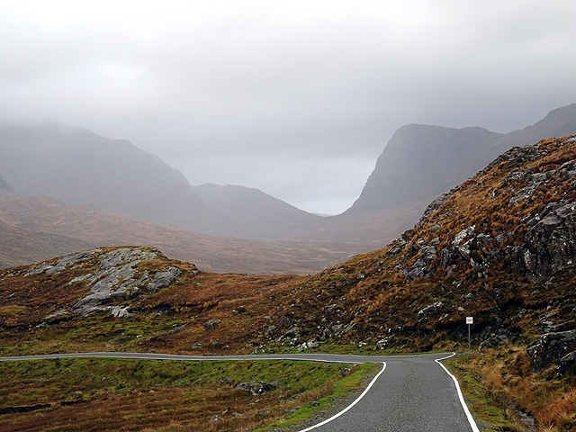
Àird Mhiabhaig is a prominent coastal feature located in Inverness-shire, Scotland. Situated on the west coast of the Highlands, it is a headland that juts out into the North Atlantic Ocean, forming a distinctive point along the rugged coastline.

Known for its stunning natural beauty, Àird Mhiabhaig offers breathtaking views of the surrounding landscape. The headland is characterized by steep cliffs that rise dramatically from the sea, creating a dramatic and picturesque scene. The cliffs are formed from layers of sedimentary rock, showcasing the geological history of the area.

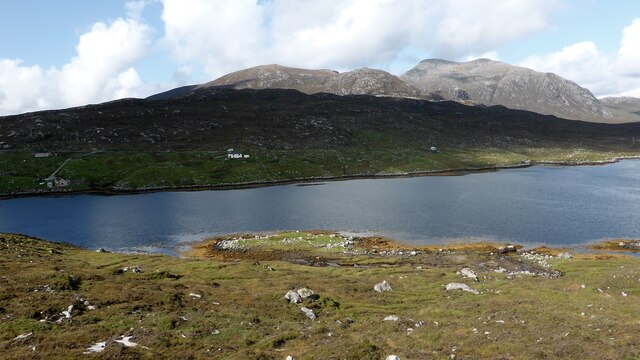
The headland is also home to a diverse range of flora and fauna, making it a haven for nature enthusiasts. Wildflowers, grasses, and heather cover the rugged terrain, providing a vibrant splash of color against the backdrop of the deep blue ocean. Seabirds can often be seen nesting on the cliffs, including gannets, puffins, and kittiwakes.

In addition to its natural wonders, Àird Mhiabhaig is steeped in history. The headland is believed to have been inhabited since ancient times, with archaeological evidence suggesting human presence dating back thousands of years. The remains of Iron Age settlements and defensive structures can still be seen, adding to the area's historical significance.

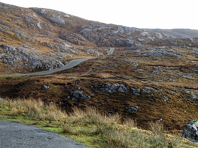
Visitors to Àird Mhiabhaig can enjoy various activities such as hiking, birdwatching, and photography. The headland offers several walking trails that provide access to the cliffs and stunning viewpoints. The rugged beauty and rich history of Àird Mhiabhaig make it a must-visit destination for those exploring the Inverness-shire coastline.

If you have any feedback on the listing, please let us know in the comments section below.

Àird Mhiabhaig Images

Images are sourced within 2km of 57.942301/-6.9201213 or Grid Reference NB0805. Thanks to Geograph Open Source API. All images are credited.

Head of Loch Mhiabhaig Looking north to the mountains of North Harris from the B887 roadside.
Head of Loch Mhiabhaig
Looking north to the mountains of North Harris from the B887 roadside.
A Harris Primary School By the roadside, on a cliff top, on the Isle of Harris you'll find this school and it's hard not to be moved by the pure simplicity of its form and the staggering importance of its being.
A Harris Primary School
By the roadside, on a cliff top, on the Isle of Harris you'll find this school and it's hard not to be moved by the pure simplicity of its form and the staggering importance of its being.
Dusk by Bagh Chliasmol
On the B887 road from Tarbert to Huisinis The higher hills which form the backdrop are on the opposite side of Loch Mhiabhaig, which is hidden by the landscape.
On the B887 road from Tarbert to Huisinis
The higher hills which form the backdrop are on the opposite side of Loch Mhiabhaig, which is hidden by the landscape.
A rainbow viewed across Loch Mhiabhaig
Bàgh Chliasmol
Bàgh Chliasmol
The road near Brandarsaig
Abhainn a' Mhiabhaig Swelled to a torrent.
Abhainn a' Mhiabhaig
Swelled to a torrent.
Coastline near Leabaidh a' Mhèirlich, Harris
OS Bolt, Àird an Tolmachain, Harris The bolt can be seen attached to the bedrock in the centre of the photo, below the cairn. It is marked with the triangulation pillar symbol on the OS 1:25,000 map, but is not shown on the 1:50,000 (as viewed on OS Maps 09/08/16).
OS Bolt, Àird an Tolmachain, Harris
The bolt can be seen attached to the bedrock in the centre of the photo, below the cairn. It is marked with the triangulation pillar symbol on the OS 1:25,000 map, but is not shown on the 1:50,000 (as viewed on OS Maps 09/08/16).
Loch Mhiabhaig from the B887 The prominent hill is Sròn Scourst.
Loch Mhiabhaig from the B887
The prominent hill is Sròn Scourst.
The B887 near Cliasmol, Harris The sign warns of <a href="https://www.geograph.org.uk/photo/3949052">NB0806 : Bun Sgoil Chliasmoil</a> (although it had shut eight years before this photo was taken)
The B887 near Cliasmol, Harris
The sign warns of NB0806 : Bun Sgoil Chliasmoil (although it had shut eight years before this photo was taken)
Crofts at Miabhaig In the foreground is a fragment of the old road.
Crofts at Miabhaig
In the foreground is a fragment of the old road.
Peat cutting Peat is still a source of fuel in the Outer Hebrides.
Peat cutting
Peat is still a source of fuel in the Outer Hebrides.
Cliasmol Primary School
Miavaig kelp kilns A group of three kelp kilns on a low knoll on the edge of Loch Miabhaig. <span class="nowrap"><a title="https://canmore.org.uk/site/336865/m100-miavaig-harris" rel="nofollow ugc noopener" href="https://canmore.org.uk/site/336865/m100-miavaig-harris">Link</a><img style="margin-left:2px;" alt="External link" title="External link - shift click to open in new window" src="https://s1.geograph.org.uk/img/external.png" width="10" height="10"/></span>
Miavaig kelp kilns
A group of three kelp kilns on a low knoll on the edge of Loch Miabhaig. LinkExternal link
Playground view from heaven The view from the playground of the primary school at Cliasmol, North Harris shown in <a href="https://www.geograph.org.uk/photo/927324">NB0806 : Cliasmol primary school</a> towards Sodhaigh Beag in distance.
Playground view from heaven
The view from the playground of the primary school at Cliasmol, North Harris shown in NB0806 : Cliasmol primary school towards Sodhaigh Beag in distance.
Bun Sgoil Chliasmol (Cliasmol Primary School) Far from any other building, but currently mothballed I believe.
Bun Sgoil Chliasmol (Cliasmol Primary School)
Far from any other building, but currently mothballed I believe.
Show me another place!

Àird Mhiabhaig is located at Grid Ref: NB0805 (Lat: 57.942301, Lng: -6.9201213)

Unitary Authority: Na h-Eileanan an Iar

Police Authority: Highlands and Islands

What 3 Words

///vital.spells.factually. Near Tarbert, Na h-Eileanan Siar

Related Wikis

West Loch Tarbert

West Loch Tarbert (Scottish Gaelic: Loch A Siar) is a sea loch that separates the northern and southern parts of Harris in the Outer Hebrides of Scotland...

Soay Mòr

Soay Mòr (Scottish Gaelic: Sòdhaigh Mòr) is an island in West Loch Tarbert, between the northern and southern parts of Harris. The uninhabited island is...

Soay Sound

Soay Sound (Scottish Gaelic: Caolas Shòdhaigh) is a strait separating the islands of Soay Mòr and Soay Beag from the northern part of Harris. The sound...

Soay Beag

Soay Beag (Scottish Gaelic: Sòdhaigh Beag) is a small, uninhabited tidal island in West Loch Tarbert, between the northern and southern parts of Harris...

Nearby Amenities

Located within 500m of 57.942301,-6.9201213
Àird Mhiabhaig
Alt Name: Àrd Meavaig
Natural: peak
Source: OS7
Lat/Long: 57.9432993/-6.9188744
The data included in this document is from www.openstreetmap.org. The data is made available under ODbL.

Have you been to Àird Mhiabhaig?

Leave your review of Àird Mhiabhaig below (or comments, questions and feedback).