Rubha Sgu
Coastal Feature, Headland, Point in Inverness-shire
Scotland
Rubha Sgu
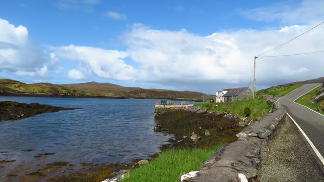
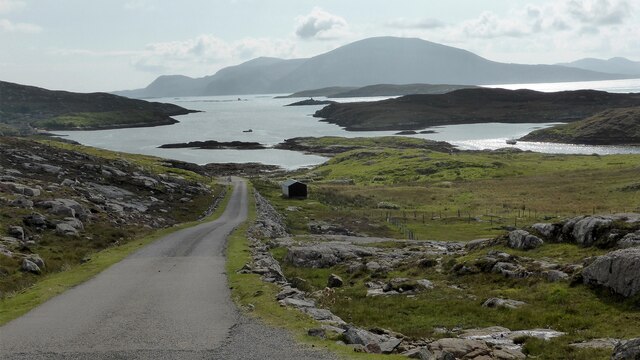
Rubha Sgu is a prominent coastal feature located in Inverness-shire, Scotland. It is a headland that juts out into the North Atlantic Ocean, forming a distinctive point along the rugged coastline. The name "Rubha Sgu" translates to "Point of the Shadows" in Gaelic, a reference to the play of light and shadows that occur on the headland due to its unique geographical position.
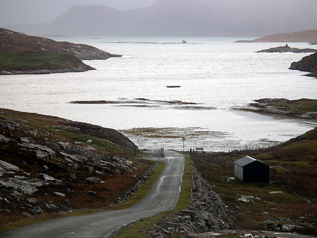
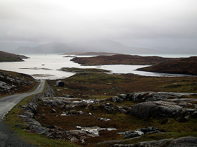
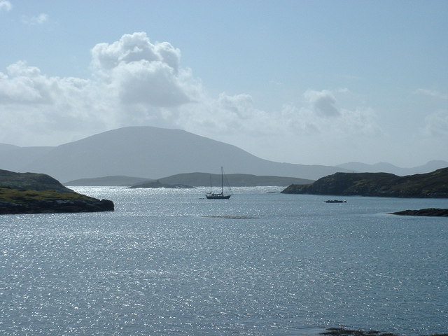
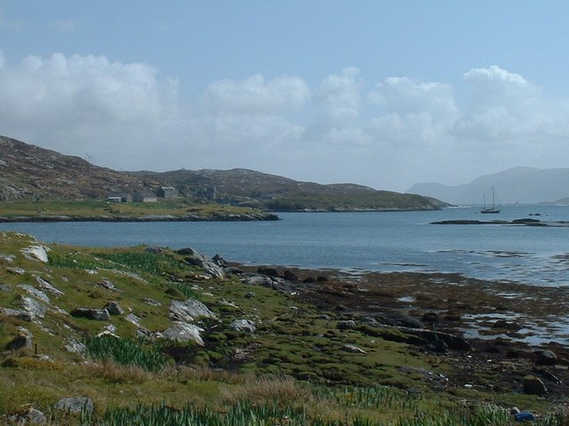
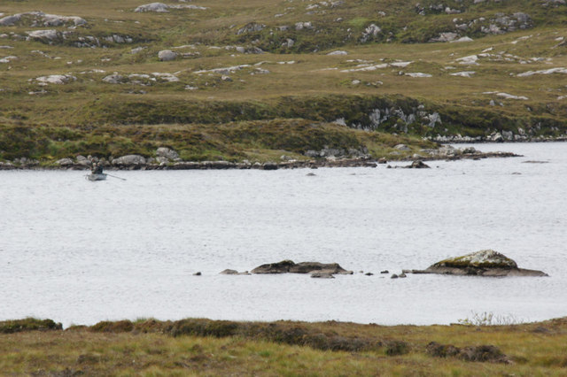
Situated approximately 7 miles southwest of the town of Ullapool, Rubha Sgu offers breathtaking panoramic views of the surrounding landscape. The headland is characterized by steep cliffs that drop dramatically into the sea, creating a sense of awe and grandeur. These cliffs are composed of ancient rock formations, showcasing the geological history of the area.
The area surrounding Rubha Sgu is rich in biodiversity, with a variety of plant and animal species inhabiting the headland. Birdwatchers will be delighted to spot numerous seabirds nesting on the cliffs, including puffins, guillemots, and razorbills. The headland is also a popular spot for fishing, with anglers attracted by the abundance of marine life in the surrounding waters.
Visitors to Rubha Sgu can explore the headland via a network of walking trails that offer stunning views of the coastline. The rugged terrain and crashing waves add to the sense of adventure and provide ample opportunities for photographers and nature enthusiasts. The headland is a designated Site of Special Scientific Interest, ensuring the preservation of its unique natural features.
Overall, Rubha Sgu is a captivating coastal feature that combines stunning natural beauty, rich biodiversity, and a sense of tranquility, making it a must-visit destination for those exploring the Inverness-shire coastline.
If you have any feedback on the listing, please let us know in the comments section below.
Rubha Sgu Images
Images are sourced within 2km of 57.953126/-7.0208445 or Grid Reference NB0307. Thanks to Geograph Open Source API. All images are credited.


Rubha Sgu is located at Grid Ref: NB0307 (Lat: 57.953126, Lng: -7.0208445)
Unitary Authority: Na h-Eileanan an Iar
Police Authority: Highlands and Islands
What 3 Words
///firelight.crabmeat.ropes. Near Tarbert, Na h-Eileanan Siar
Nearby Locations
Related Wikis

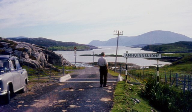
Amhuinnsuidhe
Amhuinnsuidhe (Scottish Gaelic: Abhainn Suidhe) is a settlement on Harris, in the Outer Hebrides, Scotland. The settlement is also within the parish of...

Amhuinnsuidhe Castle
Amhuinnsuidhe Castle is a large 19th-century private country house on Harris, one of the Western Isles of Scotland. It was designated as a Category A listed...

Soay Beag
Soay Beag (Scottish Gaelic: Sòdhaigh Beag) is a small, uninhabited tidal island in West Loch Tarbert, between the northern and southern parts of Harris...

Soay Sound
Soay Sound (Scottish Gaelic: Caolas Shòdhaigh) is a strait separating the islands of Soay Mòr and Soay Beag from the northern part of Harris. The sound...
Nearby Amenities
Located within 500m of 57.953126,-7.0208445Have you been to Rubha Sgu?
Leave your review of Rubha Sgu below (or comments, questions and feedback).