An t-Aigeach
Coastal Feature, Headland, Point in Inverness-shire
Scotland
An t-Aigeach
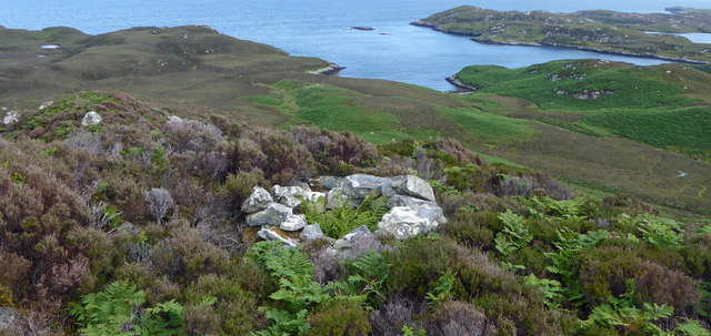
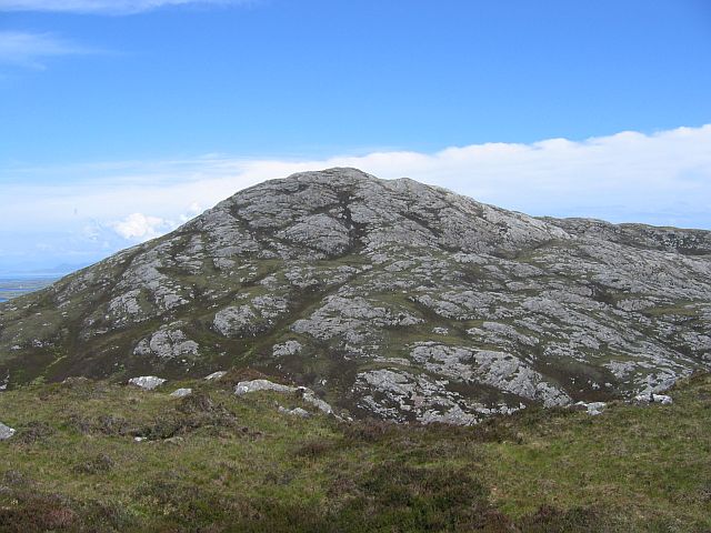
An t-Aigeach is a coastal feature located in Inverness-shire, Scotland. It is a prominent headland that extends into the sea, forming a point that offers breathtaking views of the surrounding coastline.
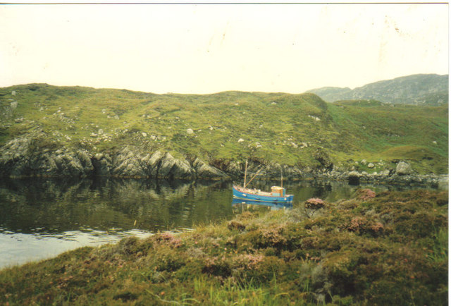
The headland is situated on the western coast of Inverness-shire, approximately 15 miles northwest of the town of Ullapool. It is part of a rugged and picturesque stretch of coastline that attracts visitors from near and far.
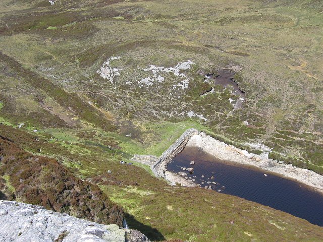
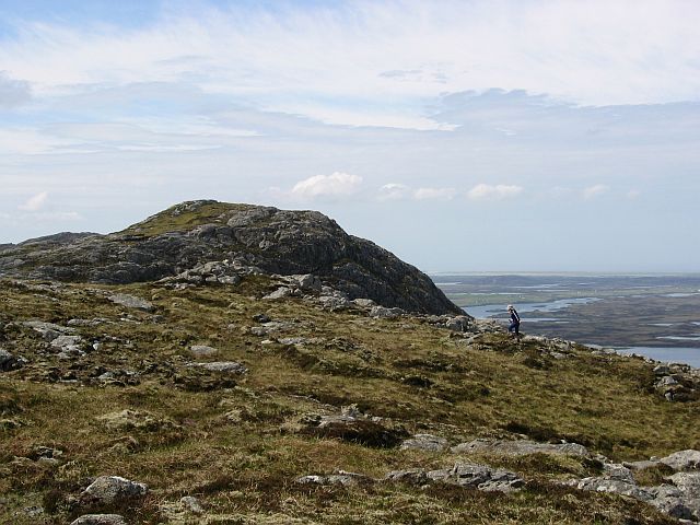
An t-Aigeach is characterized by its steep cliffs, which rise dramatically from the crashing waves below. These cliffs are composed of ancient rock formations, showcasing the region's geological history. The headland itself is covered in lush vegetation, with hardy grasses and mosses clinging to its rocky surface.
From the top of An t-Aigeach, visitors can enjoy panoramic views of the surrounding sea and coastline. On clear days, the Isle of Skye can be seen in the distance, adding to the allure of this stunning natural feature.
The headland is also home to a variety of wildlife, including seabirds and marine mammals. Birdwatchers can spot species such as puffins, guillemots, and gannets, while lucky visitors might catch a glimpse of seals or dolphins swimming in the waters below.
An t-Aigeach is a popular destination for outdoor enthusiasts, offering opportunities for hiking, birdwatching, and photography. Its rugged beauty and unspoiled natural surroundings make it an ideal spot for those seeking a peaceful and awe-inspiring coastal experience.
If you have any feedback on the listing, please let us know in the comments section below.
An t-Aigeach Images
Images are sourced within 2km of 57.566541/-7.1218578 or Grid Reference NF9364. Thanks to Geograph Open Source API. All images are credited.

An t-Aigeach is located at Grid Ref: NF9364 (Lat: 57.566541, Lng: -7.1218578)
Unitary Authority: Na h-Eileanan an Iar
Police Authority: Highlands and Islands
What 3 Words
///verve.pesky.embodied. Near Lochmaddy, Na h-Eileanan Siar
Nearby Locations
Related Wikis

Taigh Chearsabhagh
Taigh Chearsabhagh is an arts centre and museum in Lochmaddy on the island of North Uist, Scotland.Taigh Chearsabhagh was built in 1741 and originally...

Lochmaddy
Lochmaddy (Scottish Gaelic: Loch nam Madadh [l̪ˠɔx nə ˈmat̪əɣ], "Loch of the Hounds") is the administrative centre of North Uist in the Outer Hebrides...

Weavers Point
Weavers Point (Scottish Gaelic: Rubha an Fhigheadair) is a headland to the north of the entrance to Loch Maddy, on the north eastern coastline of North...

Ceallasaigh Beag
Ceallasaigh Beag (or Keallasay Beg) is a low-lying island in Loch Maddy off North Uist in the Outer Hebrides of Scotland. This an area of shallow lagoons...
Have you been to An t-Aigeach?
Leave your review of An t-Aigeach below (or comments, questions and feedback).