Rubha Mòr
Coastal Feature, Headland, Point in Inverness-shire
Scotland
Rubha Mòr

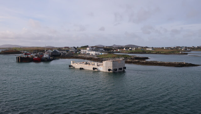
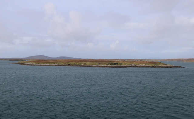
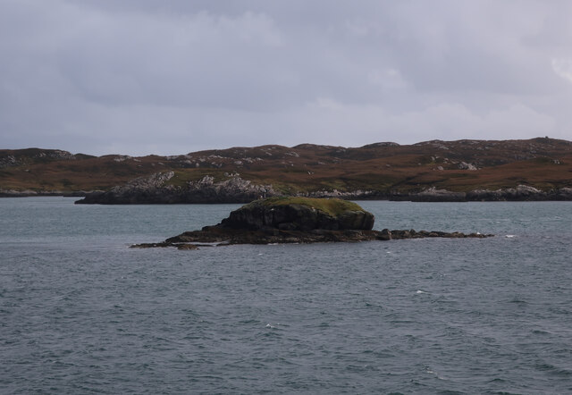
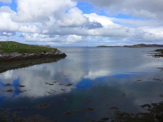
Rubha Mòr is a remarkable headland located in Inverness-shire, on the west coast of Scotland. Jutting out into the North Atlantic Ocean, this coastal feature is known for its rugged beauty and breathtaking views. With its dramatic cliffs, rocky terrain, and crashing waves, Rubha Mòr is a haven for nature enthusiasts and photographers.
The headland is characterized by its towering cliffs that soar above the sea, providing a nesting site for a variety of seabirds, including guillemots, razorbills, and puffins. These cliffs are also home to a colony of grey seals, which can often be spotted basking on the rocks or swimming in the surrounding waters.
The point itself offers panoramic views of the surrounding landscape, including the nearby Isle of Skye and the Outer Hebrides. On a clear day, visitors can even catch a glimpse of the famous Cuillin mountain range in the distance.
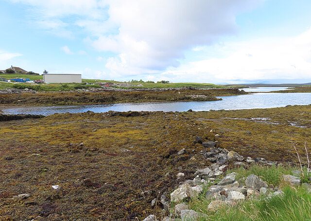
Access to Rubha Mòr is relatively easy, with a well-maintained path leading from the nearby village of Applecross. The walk to the headland takes visitors through a picturesque landscape of heather-covered moorland and offers the opportunity to spot various wildlife species along the way.
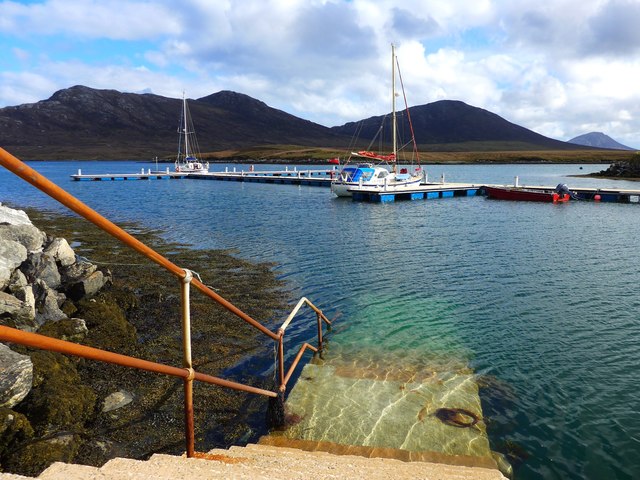
In addition to its natural beauty, Rubha Mòr also has a rich history. The headland is home to the ruins of a 19th-century lighthouse, which once guided ships safely along the treacherous coastline. Today, the lighthouse serves as a reminder of the area's maritime heritage and adds to the overall charm of this coastal gem.
Overall, Rubha Mòr is a captivating destination that combines stunning natural scenery, diverse wildlife, and a touch of history. Whether exploring the rugged cliffs or simply taking in the picturesque views, a visit to this headland is an unforgettable experience.
If you have any feedback on the listing, please let us know in the comments section below.
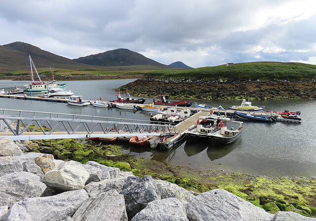
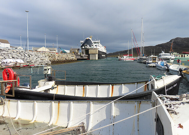
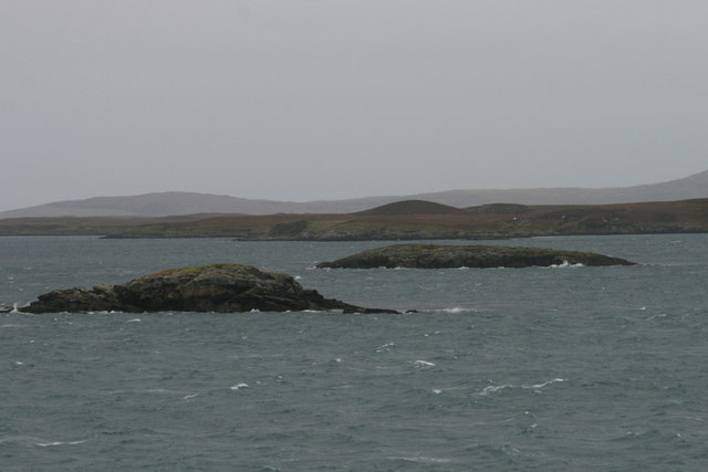
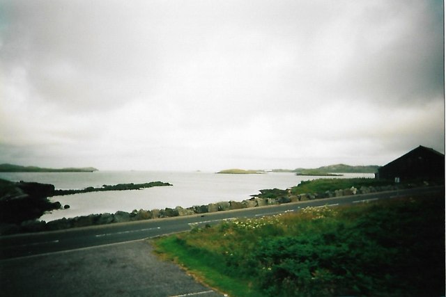
Rubha Mòr Images
Images are sourced within 2km of 57.591239/-7.13891 or Grid Reference NF9367. Thanks to Geograph Open Source API. All images are credited.


Rubha Mòr is located at Grid Ref: NF9367 (Lat: 57.591239, Lng: -7.13891)
Unitary Authority: Na h-Eileanan an Iar
Police Authority: Highlands and Islands
What 3 Words
///reflected.concluded.baked. Near Lochmaddy, Na h-Eileanan Siar
Nearby Locations
Related Wikis

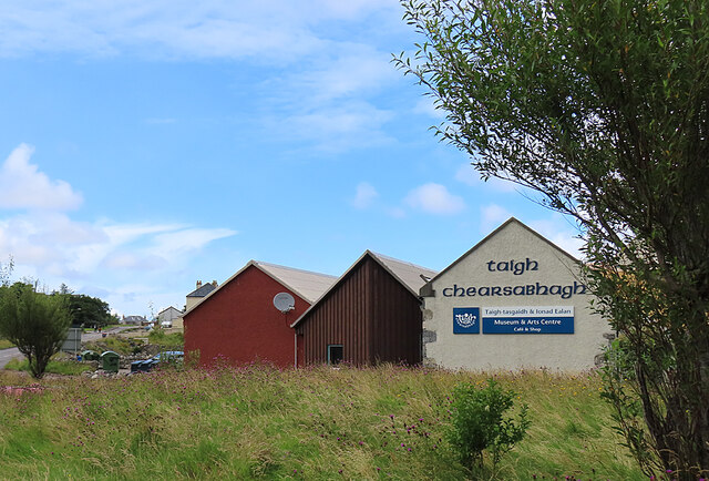
Taigh Chearsabhagh
Taigh Chearsabhagh is an arts centre and museum in Lochmaddy on the island of North Uist, Scotland.Taigh Chearsabhagh was built in 1741 and originally...

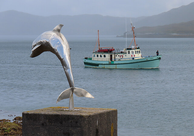
Lochmaddy
Lochmaddy (Scottish Gaelic: Loch nam Madadh [l̪ˠɔx nə ˈmat̪əɣ], "Loch of the Hounds") is the administrative centre of North Uist in the Outer Hebrides...

Weavers Point
Weavers Point (Scottish Gaelic: Rubha an Fhigheadair) is a headland to the north of the entrance to Loch Maddy, on the north eastern coastline of North...

Ceallasaigh Beag
Ceallasaigh Beag (or Keallasay Beg) is a low-lying island in Loch Maddy off North Uist in the Outer Hebrides of Scotland. This an area of shallow lagoons...
Nearby Amenities
Located within 500m of 57.591239,-7.13891Have you been to Rubha Mòr?
Leave your review of Rubha Mòr below (or comments, questions and feedback).