Àird Thormaid

Coastal Feature, Headland, Point in Inverness-shire

Scotland

Àird Thormaid

Loch Camas-Duibhe A fairly featureless lochan, but attractive nevertheless.
Loch Camas-Duibhe Credit: Richard Laybourne

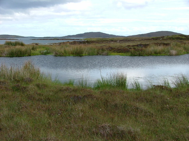
Àird Thormaid is a prominent coastal feature located in Inverness-shire, Scotland. Situated on the western coast of the Scottish Highlands, it is primarily known as a headland or point that juts out into the Atlantic Ocean. The name Àird Thormaid translates to "Thormaid's Point" in English, and it is derived from the Gaelic language.

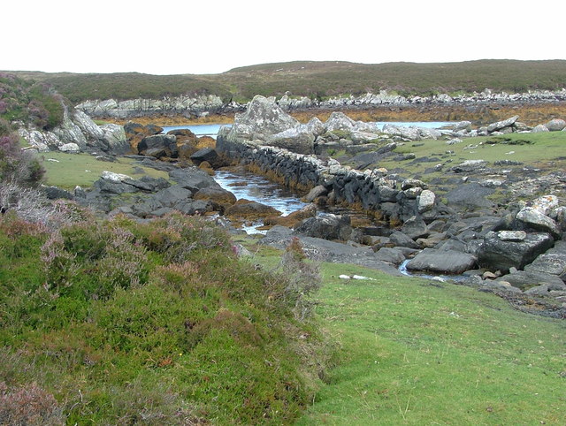
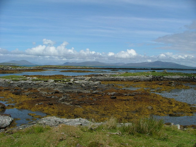
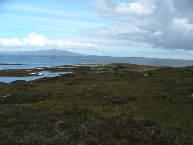
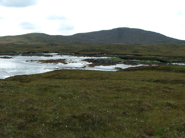
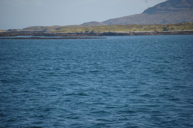
This headland is characterized by its rugged and dramatic cliffs that provide breathtaking views of the surrounding landscape. The cliffs at Àird Thormaid are composed of a variety of rock types, including sandstone and granite, which have been shaped over time by the relentless force of the ocean waves. These cliffs reach impressive heights, creating an impressive backdrop against the deep-blue waters of the Atlantic.

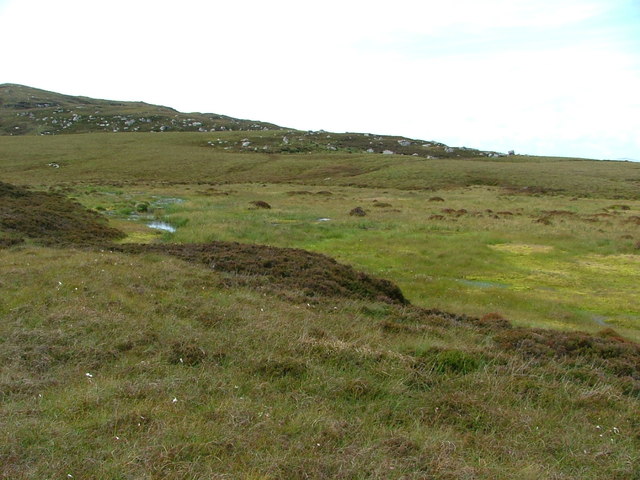
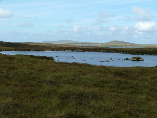
The area surrounding Àird Thormaid is rich in biodiversity, with a diverse range of plant and animal species calling it home. Visitors may spot various seabirds, such as gannets, fulmars, and puffins, nesting along the cliffs. The coastal waters are also teeming with marine life, including seals, dolphins, and occasionally even whales.

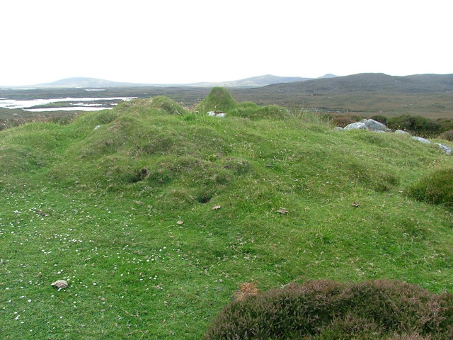
For outdoor enthusiasts, Àird Thormaid offers numerous opportunities for hiking and photography. There are well-defined coastal trails that allow visitors to explore the headland and its surroundings, providing a chance to witness the raw beauty of the Scottish coastline up close.

Overall, Àird Thormaid is a captivating coastal feature in Inverness-shire, attracting nature lovers and adventure seekers with its stunning cliffs, diverse wildlife, and unparalleled natural beauty.

If you have any feedback on the listing, please let us know in the comments section below.

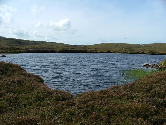
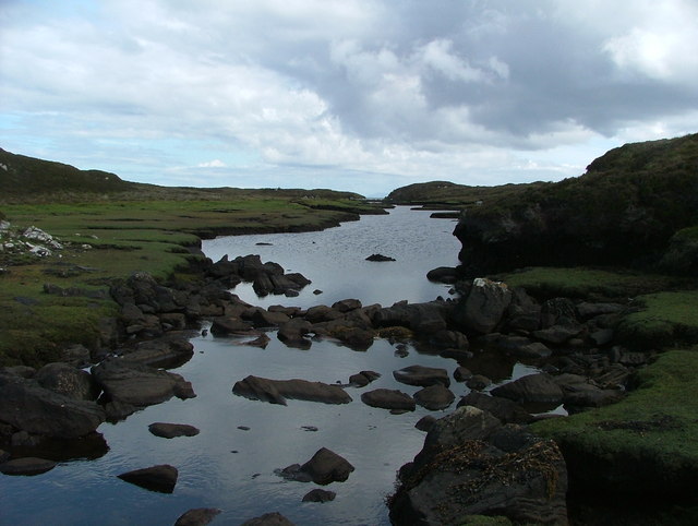
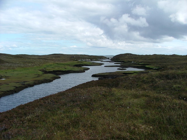
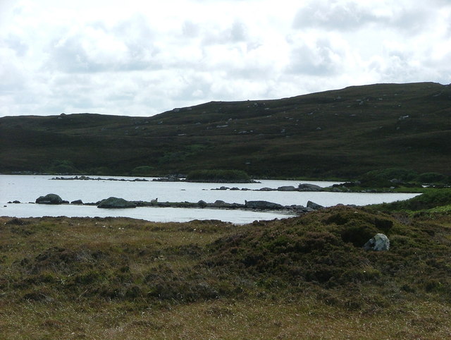
Àird Thormaid Images

Images are sourced within 2km of 57.675484/-7.1592361 or Grid Reference NF9276. Thanks to Geograph Open Source API. All images are credited.

Loch Camas-Duibhe A fairly featureless lochan, but attractive nevertheless.
Loch Camas-Duibhe
A fairly featureless lochan, but attractive nevertheless.
Abhainn Dubh Black River indeed - it flows over and through the peat, and even at close quarters, while clear, appears black.
Abhainn Dubh
Black River indeed - it flows over and through the peat, and even at close quarters, while clear, appears black.
Abhainn Dubh A wider image of the Black River.
Abhainn Dubh
A wider image of the Black River.
Loch Iosal an Duin A lovely loch complete with Dun (just into the next grid-square south).
Loch Iosal an Duin
A lovely loch complete with Dun (just into the next grid-square south).
Outflow from unnamed lochan The dry stone wall follows the burn flowing from the loch, indeed it seems to have been built in the middle of the burn.  It is not marked on the maps.
Outflow from unnamed lochan
The dry stone wall follows the burn flowing from the loch, indeed it seems to have been built in the middle of the burn. It is not marked on the maps.
Greineam from Aird na Muile The fabulous North Uist coastline is dotted with islets, so many of them named, such as Greineam.  The hills in the distance are those of south Harris, with Ceapabhal on the left/west and Roineabhal on the right/east.
Greineam from Aird na Muile
The fabulous North Uist coastline is dotted with islets, so many of them named, such as Greineam. The hills in the distance are those of south Harris, with Ceapabhal on the left/west and Roineabhal on the right/east.
Aird Thormaid across Camas Dubh Sunlight picks out the end of the small peninsula.  The Sound of Harris provides a backdrop.
Aird Thormaid across Camas Dubh
Sunlight picks out the end of the small peninsula. The Sound of Harris provides a backdrop.
Cnoc Mor Thormaid What appears to be a very overgrown cairn on the small hillock of Cnoc Mor Thormaid.  I wonder if it's of any antiquarian interest - there is any amount of neolithic monuments in the wider area.
Cnoc Mor Thormaid
What appears to be a very overgrown cairn on the small hillock of Cnoc Mor Thormaid. I wonder if it's of any antiquarian interest - there is any amount of neolithic monuments in the wider area.
Pool on Aird Thanais This headland is very boggy underfoot - not pleasant walking at all.  The views surrounding it make up for this.
Pool on Aird Thanais
This headland is very boggy underfoot - not pleasant walking at all. The views surrounding it make up for this.
Low tide at Loch Hurabhaig Beinn Mhor in the background
Low tide at Loch Hurabhaig
Beinn Mhor in the background
Feur-lochan A bog more than a lochan, with mosses of a lurid green/yellow.
Feur-lochan
A bog more than a lochan, with mosses of a lurid green/yellow.
Loch Aird an Dun The high loch of the Dun.  The white structure in the distance is the Berneray-Leverburgh ferry.
Loch Aird an Dun
The high loch of the Dun. The white structure in the distance is the Berneray-Leverburgh ferry.
Loch Iosal an Duin The Lower Loch of the Dun.  The dun itself is actually in the next square north.  The causeway is marked on the map between the western shore and the dun, but the only evidence I can see is it running from the eastern tip of the dun towards the southern shore.
Loch Iosal an Duin
The Lower Loch of the Dun. The dun itself is actually in the next square north. The causeway is marked on the map between the western shore and the dun, but the only evidence I can see is it running from the eastern tip of the dun towards the southern shore.
North Uist Coast Taken from ferry
North Uist Coast
Taken from ferry
Show me another place!

Àird Thormaid is located at Grid Ref: NF9276 (Lat: 57.675484, Lng: -7.1592361)

Unitary Authority: Na h-Eileanan an Iar

Police Authority: Highlands and Islands

What 3 Words

///herbs.fuse.pixies. Near Lochmaddy, Na h-Eileanan Siar

Related Wikis

Stromay

Stromay (Scottish Gaelic: Sròmaigh) is a tidal island off North Uist in the Sound of Harris, Scotland. The low island of Stromay lies between two wide...

Loch an Duin

Loch an Duin is a complex system of freshwater, brackish and sea lochs, tidal channels and islands, on and close to North Uist off the west coast of Scotland...

Dun an Sticir

Dun an Sticir (Scottish Gaelic: Dùn an Sticir [ˈt̪un əɲ ˈʃtʲiçkʲɪɾʲ]) is an Iron Age broch situated approximately 9.5 kilometers north of Lochmaddy in...

Otternish

Otternish is the former North Uist terminal for the ferry to Berneray, in the Outer Hebrides, Scotland. The slipway lies 6 miles (10 km) north of Lochmaddy...

Sursaigh

Sursaigh (Scottish Gaelic: Sursaigh) is an island off North Uist in the Sound of Harris, Scotland. It lies 8 kilometres (5.0 mi) northeast of the village...

Newtonferry

Newtonferry (Scottish Gaelic: Port nan Long, "the harbour of the ships") is a small crofting community on the island of North Uist in the Western Isles...

Tahay

Tahay (Scottish Gaelic: Taghaigh) is an island in the Outer Hebrides of Scotland. The name originates from the Old Norse tagg-øy meaning island with a...

North Uist Machair and Islands

The North Uist Machair and Islands is a protected wetland area in the Outer Hebrides of Scotland. A total of 4,705 hectares comprises seven separate areas...

Have you been to Àird Thormaid?

Leave your review of Àird Thormaid below (or comments, questions and feedback).