Àird Innis
Coastal Feature, Headland, Point in Inverness-shire
Scotland
Àird Innis

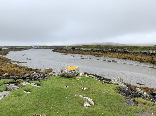
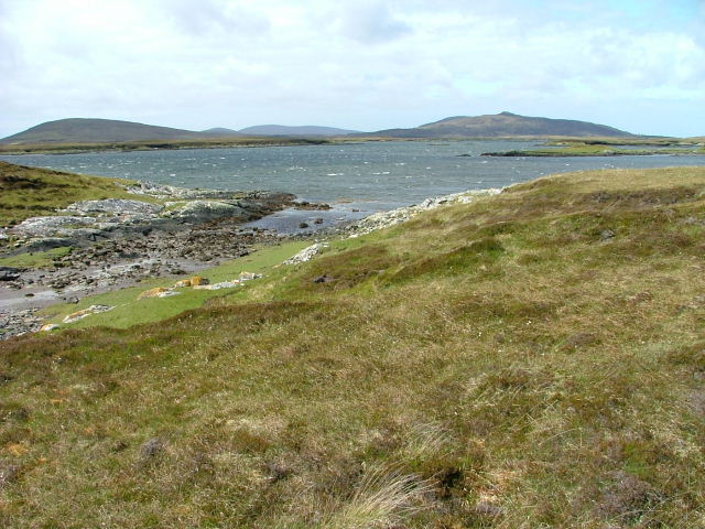
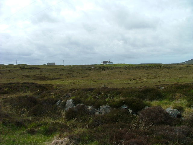
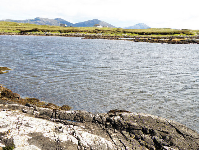
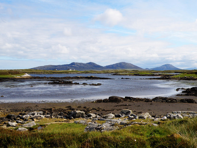
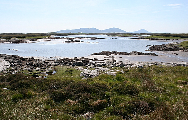
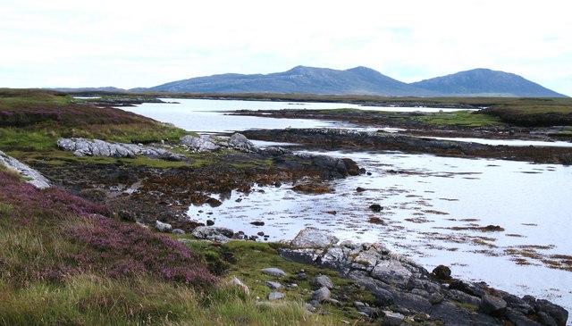
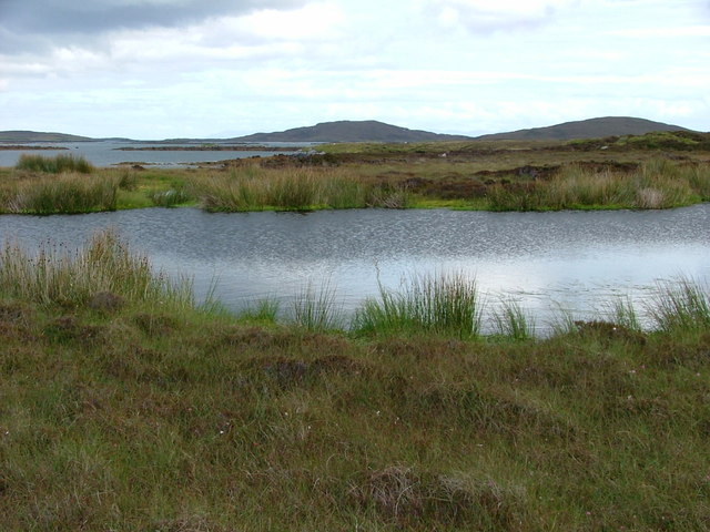
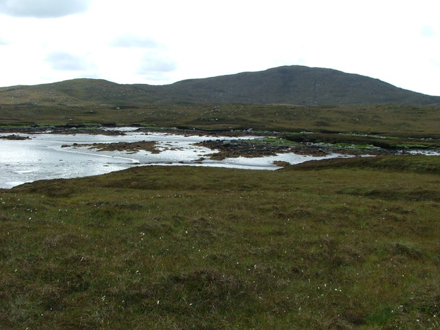
Àird Innis is a stunning coastal feature located in Inverness-shire, Scotland. It is a headland that extends into the North Atlantic Ocean, forming a prominent point along the rugged coastline. This picturesque spot is known for its breathtaking natural beauty and rich history.
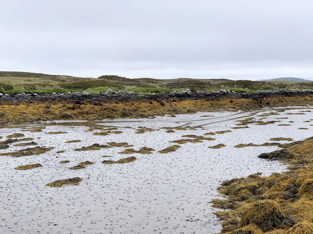
The headland is characterized by steep cliffs that provide stunning panoramic views of the surrounding area. The cliffs are composed of rugged rocks, which have been shaped over centuries by the relentless crashing of the waves. These dramatic cliffs serve as a nesting site for various seabirds, adding to the area's charm and biodiversity.
Àird Innis is also known for its historical significance. It was once a strategic point for defense, with remnants of ancient fortifications still visible today. These historical structures provide a glimpse into the area's past and attract visitors interested in Scottish history.
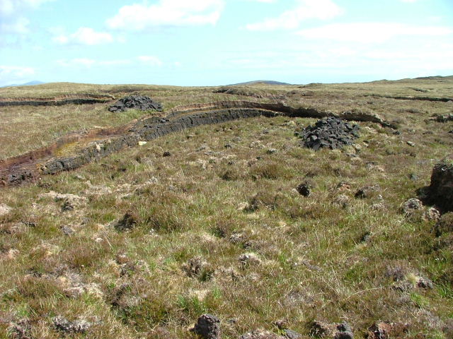
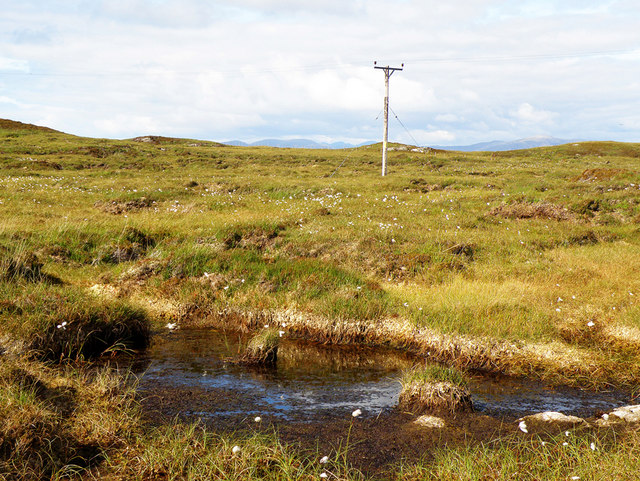
Access to Àird Innis is relatively easy, with a well-maintained coastal path that leads to the headland. This path allows visitors to explore the rugged coastline, taking in the breathtaking scenery and enjoying the fresh sea breeze. The area is also popular among hikers and nature enthusiasts, who can take advantage of the numerous walking trails that wind through the surrounding countryside.
Overall, Àird Innis is a captivating coastal feature that offers a combination of stunning natural beauty and historical significance. Whether one is seeking a peaceful retreat or an adventure in nature, this headland is sure to leave a lasting impression on all who visit.
If you have any feedback on the listing, please let us know in the comments section below.
Àird Innis Images
Images are sourced within 2km of 57.652362/-7.1593864 or Grid Reference NF9274. Thanks to Geograph Open Source API. All images are credited.


Àird Innis is located at Grid Ref: NF9274 (Lat: 57.652362, Lng: -7.1593864)
Unitary Authority: Na h-Eileanan an Iar
Police Authority: Highlands and Islands
What 3 Words
///fittingly.swimmer.hero. Near Lochmaddy, Na h-Eileanan Siar
Nearby Locations
Related Wikis

Loch an Duin
Loch an Duin is a complex system of freshwater, brackish and sea lochs, tidal channels and islands, on and close to North Uist off the west coast of Scotland...
Stromay
Stromay (Scottish Gaelic: Sròmaigh) is a tidal island off North Uist in the Sound of Harris, Scotland. The low island of Stromay lies between two wide...
Ceallasaigh Mòr
Ceallasaigh Mòr (or Keallasay More) is a low-lying island in Loch Maddy off North Uist in the Outer Hebrides of Scotland. This an area of shallow lagoons...

Ceallasaigh Beag
Ceallasaigh Beag (or Keallasay Beg) is a low-lying island in Loch Maddy off North Uist in the Outer Hebrides of Scotland. This an area of shallow lagoons...

Sursaigh
Sursaigh (Scottish Gaelic: Sursaigh) is an island off North Uist in the Sound of Harris, Scotland. It lies 8 kilometres (5.0 mi) northeast of the village...
Tahay
Tahay (Scottish Gaelic: Taghaigh) is an island in the Outer Hebrides of Scotland. The name originates from the Old Norse tagg-øy meaning island with a...

Dun an Sticir
Dun an Sticir (Scottish Gaelic: Dùn an Sticir [ˈt̪un əɲ ˈʃtʲiçkʲɪɾʲ]) is an Iron Age broch situated approximately 9.5 kilometers north of Lochmaddy in...

Na Fir Bhrèige
Na Fir Bhrèige (pronounced [nə fiɾʲ ˈvɾʲeːkʲə]; can be translated from Gaelic into English as "The False Men") is a set of three standing stones on the...
Have you been to Àird Innis?
Leave your review of Àird Innis below (or comments, questions and feedback).