Rubha Bhoisnis

Coastal Feature, Headland, Point in Inverness-shire

Scotland

Rubha Bhoisnis

Berneray/Bearnaraigh West Beach
Berneray/Bearnaraigh West Beach Credit: Sandy Gerrard

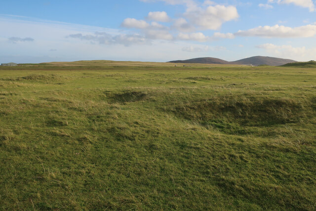
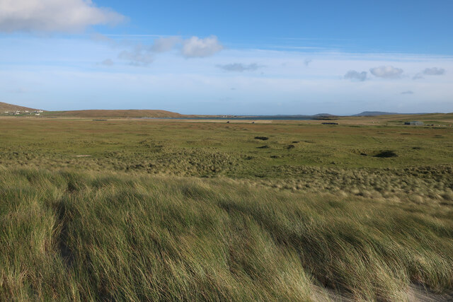
Rubha Bhoisnis is a prominent headland located in Inverness-shire, Scotland. Situated on the western coast of the country, it is a popular coastal feature known for its rugged beauty and stunning views of the Atlantic Ocean. The headland is part of the remote and sparsely populated region of the Scottish Highlands.

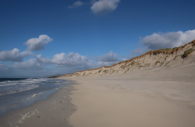
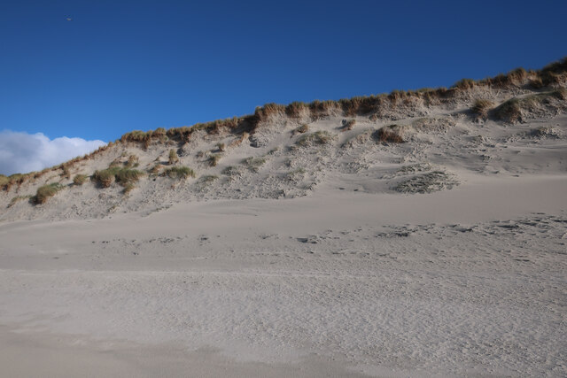
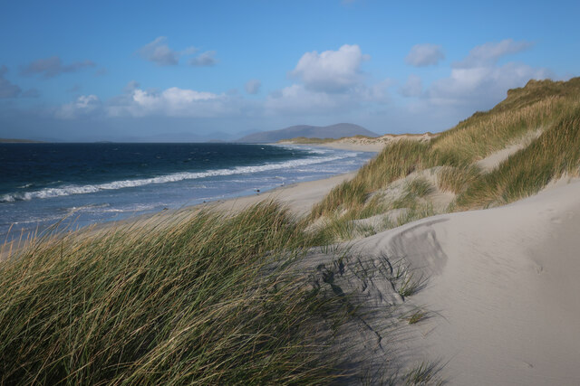
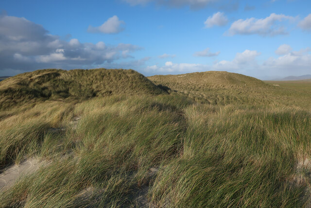
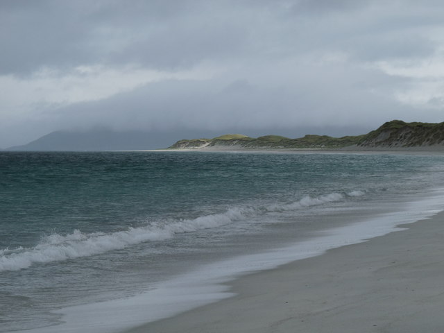
Stretching out into the sea, Rubha Bhoisnis forms a distinct point that juts out into the water, offering panoramic vistas of the surrounding landscape. The headland is characterized by its towering cliffs, which rise dramatically from the sea, creating an impressive sight. These cliffs are composed of ancient, weathered rock formations, providing a geological insight into the area's history.

The headland is also home to a diverse range of wildlife, making it a haven for nature enthusiasts. Birdwatchers flock to Rubha Bhoisnis to catch a glimpse of various seabirds, including gannets, puffins, and guillemots. The surrounding waters are known for their rich marine life, with seals and dolphins often spotted swimming in the area.

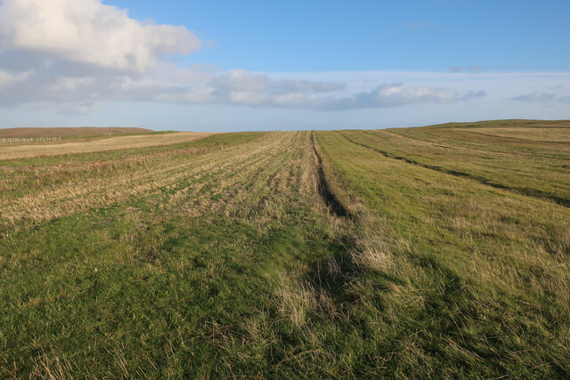
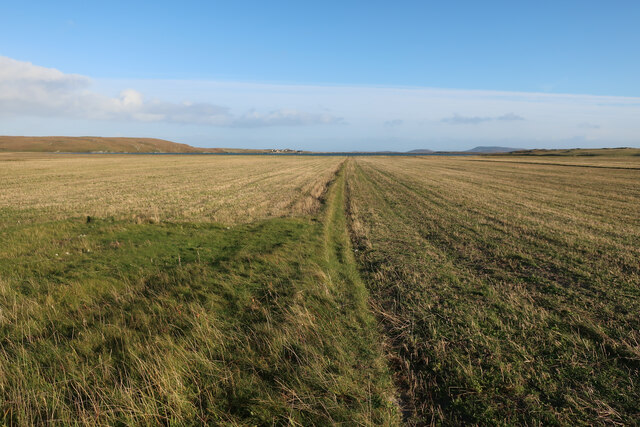
Rubha Bhoisnis offers visitors the opportunity to explore its rugged coastline, with walking trails that wind along the cliffs and provide access to secluded beaches and hidden coves. The headland is a popular destination for hikers and nature lovers, who come to experience its untouched beauty and tranquility.

In summary, Rubha Bhoisnis is a remarkable coastal feature located in Inverness-shire, offering breathtaking views, diverse wildlife, and opportunities for outdoor exploration. Its rugged cliffs, pristine beaches, and rich marine life make it an idyllic destination for those seeking a unique and unspoiled natural experience.

If you have any feedback on the listing, please let us know in the comments section below.

Rubha Bhoisnis Images

Images are sourced within 2km of 57.705786/-7.2262563 or Grid Reference NF8880. Thanks to Geograph Open Source API. All images are credited.
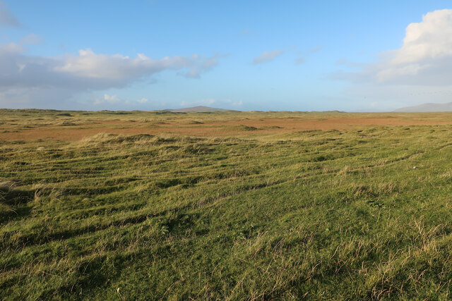
Berneray/Bearnaraigh West Beach
Rocks and sand at Rubha Bhoisnis
Machair on Berneray Sandy grassland behind West Beach.
Machair on Berneray
Sandy grassland behind West Beach.
Stubble field on Berneray
Stubble fields, Berneray
Machair on Berneray
Machair on Berneray
West Beach, Berneray
Dune front, Berneray The dunes in this section of the beach are eroding back slightly, but others stretches are growing as the sand moves around.
Dune front, Berneray
The dunes in this section of the beach are eroding back slightly, but others stretches are growing as the sand moves around.
West Beach, Berneray
Machair behind Berneray West Beach Fairly flat sandy grassland behind the dune ridge.
Machair behind Berneray West Beach
Fairly flat sandy grassland behind the dune ridge.
Sand dunes by Berneray West Beach
Berneray West Beach Not quite deserted.
Berneray West Beach
Not quite deserted.
The western beach of Berneray
The south end of Traigh Iar, Berneray Viewed from the north side of Rubha Bhoisnis.
The south end of Traigh Iar, Berneray
Viewed from the north side of Rubha Bhoisnis.
Sandy shores on Berneray One of the island's smaller beaches facing south towards North Uist and with the tiny island of Eilean an Dunain at the far end.
Sandy shores on Berneray
One of the island's smaller beaches facing south towards North Uist and with the tiny island of Eilean an Dunain at the far end.
Oystercatchers on the beach You are never far away from the sight or loud piping of oystercatchers on the Western Isles. This view is south towards the small island of Lingeigh [to the right] with the hills of North Uist beyond.
Oystercatchers on the beach
You are never far away from the sight or loud piping of oystercatchers on the Western Isles. This view is south towards the small island of Lingeigh [to the right] with the hills of North Uist beyond.
Track across the machair The machair on Berneray is as fine as anywhere along the Western Isles. The colours are mostly white and yellow from daisies, clover and buttercups, whilst the clover fills the air with a sweet perfume.
Track across the machair
The machair on Berneray is as fine as anywhere along the Western Isles. The colours are mostly white and yellow from daisies, clover and buttercups, whilst the clover fills the air with a sweet perfume.
Curious lumps and bumps above the shore Initial thoughts were that these shallow impressions in the grass just above the shoreline were similar to hollows seen on the coastline of Orkney where boats were stored away from the wind and waves, but these were obviously different. In fact these are the scant remains of old cottage outlines, the seawards ends having been eroded away. A local informed me that this was once the site of a village which had been abandoned due to damage by storms.
Curious lumps and bumps above the shore
Initial thoughts were that these shallow impressions in the grass just above the shoreline were similar to hollows seen on the coastline of Orkney where boats were stored away from the wind and waves, but these were obviously different. In fact these are the scant remains of old cottage outlines, the seawards ends having been eroded away. A local informed me that this was once the site of a village which had been abandoned due to damage by storms.
Show me another place!

Rubha Bhoisnis is located at Grid Ref: NF8880 (Lat: 57.705786, Lng: -7.2262563)

Unitary Authority: Na h-Eileanan an Iar

Police Authority: Highlands and Islands

What 3 Words

///producers.footpath.plans. Near Lochmaddy, Na h-Eileanan Siar

Nearby Locations

Rubha Bhoisnis

Related Wikis

Otternish

Otternish is the former North Uist terminal for the ferry to Berneray, in the Outer Hebrides, Scotland. The slipway lies 6 miles (10 km) north of Lochmaddy...

Newtonferry

Newtonferry (Scottish Gaelic: Port nan Long, "the harbour of the ships") is a small crofting community on the island of North Uist in the Western Isles...

Berneray (North Uist)

Berneray (Scottish Gaelic: Beàrnaraigh na Hearadh) is an island and community in the Sound of Harris, Scotland. It is one of fifteen inhabited islands...

Lingeigh, North Uist

Lingeigh is an uninhabited island off North Uist, south east of Boreray. It is separated from North Uist by Traigh Lingeigh. == Footnotes ==

Nearby Amenities

Located within 500m of 57.705786,-7.2262563
Source: PGS
Lat/Long: 57.7048833/-7.2181986
Source: PGS
Lat/Long: 57.7047033/-7.2191978
Source: PGS
Lat/Long: 57.7047033/-7.2205228
Source: PGS
Lat/Long: 57.704661/-7.2212456
Source: PGS
Lat/Long: 57.7062108/-7.2285989
Source: PGS
Lat/Long: 57.7070391/-7.2272873
Source: PGS
Lat/Long: 57.7067668/-7.2259462
Source: PGS
Lat/Long: 57.7070964/-7.2253293
Source: PGS
Lat/Long: 57.7073515/-7.224927
Source: PGS
Lat/Long: 57.7083287/-7.2237307
Source: PGS
Lat/Long: 57.7088073/-7.2231245
Source: PGS
Lat/Long: 57.7092687/-7.2224701
Source: PGS
Lat/Long: 57.7095725/-7.223787
Source: PGS
Lat/Long: 57.7099393/-7.2231728
Source: PGS
Lat/Long: 57.7086984/-7.2251898
Source: PGS
Lat/Long: 57.7090824/-7.2245514
Source: PGS
Lat/Long: 57.7071759/-7.2274407
Source: PGS
Lat/Long: 57.7078817/-7.2272605
Source: PGS
Lat/Long: 57.7084462/-7.2256565
Leisure: picnic_table
Note: Partially broken
Lat/Long: 57.7073661/-7.2222397
Rubha Bhoisnis
Natural: cape
Lat/Long: 57.7067897/-7.2281349
The data included in this document is from www.openstreetmap.org. The data is made available under ODbL.

Have you been to Rubha Bhoisnis?

Leave your review of Rubha Bhoisnis below (or comments, questions and feedback).