Rubha Cam nan Gall

Coastal Feature, Headland, Point in Inverness-shire

Scotland

Rubha Cam nan Gall

Greanamul Deas
Greanamul Deas Credit: Toby Speight

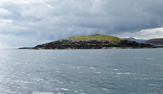
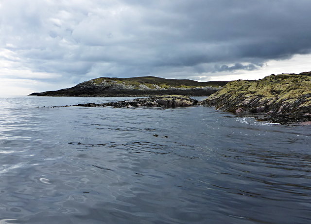
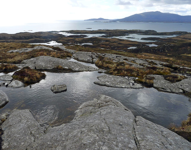
Rubha Cam nan Gall, located in Inverness-shire, Scotland, is a captivating coastal feature known for its striking headland and prominent point. Situated on the western shore of Loch Long, this scenic area offers breathtaking views of the surrounding landscape.

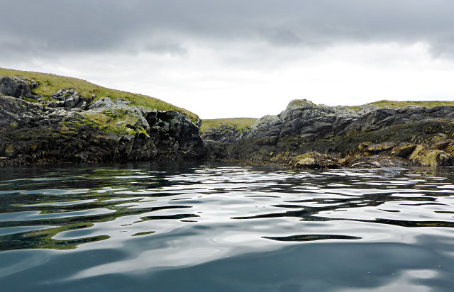
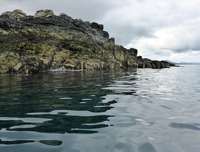
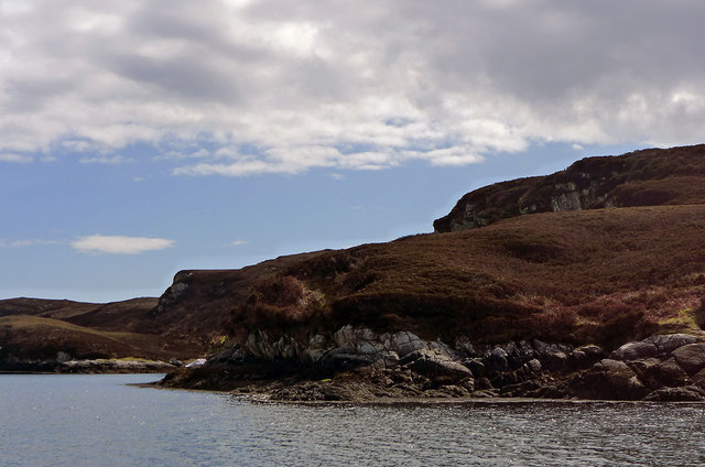
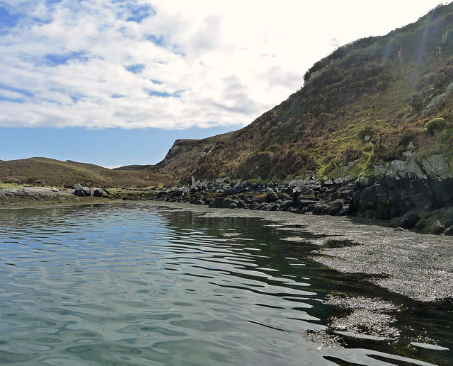
The name "Rubha Cam nan Gall" translates to "Crooked Point of the Strangers" in English, which alludes to its historical significance. The Gaelic term "Gall" refers to the Norsemen who once inhabited this region during the Viking era. The headland itself is characterized by its jagged cliffs and rugged terrain, providing a dramatic backdrop against the shimmering waters of Loch Long.

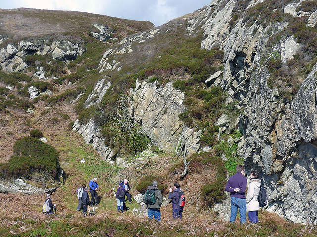
Visitors to Rubha Cam nan Gall can enjoy a variety of activities in this picturesque coastal setting. Hiking enthusiasts can explore the numerous trails that wind their way through the headland, offering panoramic vistas of the loch and the surrounding mountains. Birdwatchers will be delighted by the diverse range of avian species that inhabit the area, including seabirds and raptors.

The coastal waters around Rubha Cam nan Gall are also popular among kayakers and canoeists, who can easily navigate the calm and clear waters of Loch Long. The area is known for its abundant marine life, making it an ideal spot for fishing and snorkeling. Additionally, the nearby sandy beaches provide a perfect spot for sunbathing and picnicking.

Overall, Rubha Cam nan Gall is a captivating coastal feature that offers both natural beauty and historical significance. With its rugged cliffs, panoramic views, and diverse recreational opportunities, it has become a must-visit destination for nature lovers and outdoor enthusiasts alike.

If you have any feedback on the listing, please let us know in the comments section below.

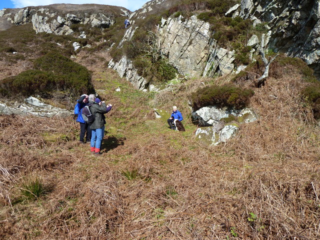
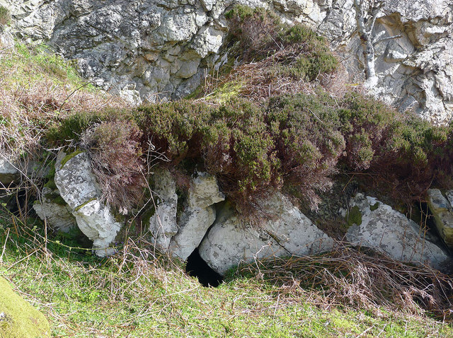
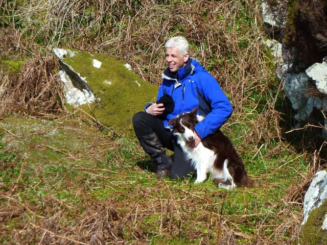
Rubha Cam nan Gall Images

Images are sourced within 2km of 57.409847/-7.1909102 or Grid Reference NF8847. Thanks to Geograph Open Source API. All images are credited.

Greanamul Deas
Greanamul Deas
Eastern end of Rairnis
Rocks off Rubha Cam nan Gall
Sgaracleit
Sgaracleit
Eastern end of Fuidheigh
By Bonnie Prince Charlie's Cave During the wandering of Bonnie Prince Charlie after the Battle of Culloden, he spent time in hiding on the island of Wiay.  On an Islands Book Trust trip to Wiay in company of an author writing a book about this topic, a visit was made to the cave where it is reputed Bonnie Prince Charlie hid.
By Bonnie Prince Charlie's Cave
During the wandering of Bonnie Prince Charlie after the Battle of Culloden, he spent time in hiding on the island of Wiay. On an Islands Book Trust trip to Wiay in company of an author writing a book about this topic, a visit was made to the cave where it is reputed Bonnie Prince Charlie hid.
Wet terrain by the summit of Beinn a Tuath Small lochans and lochs dominate the interior of Wiay.  Even the summit of Beinn a Tuath has its own small rock-fringed area of water.
Wet terrain by the summit of Beinn a Tuath
Small lochans and lochs dominate the interior of Wiay. Even the summit of Beinn a Tuath has its own small rock-fringed area of water.
Headland at northern limit of Beinn a Tuath Viewed on a boat bound for the eagle eyries nearby on the cliffs.
Headland at northern limit of Beinn a Tuath
Viewed on a boat bound for the eagle eyries nearby on the cliffs.
Below the eagles' eyries A stationary boat with all eyes on the eyries on the cliff face above.  But no birds were at home.  We had seen the eagles earlier in the day flying above Wiay.
Below the eagles' eyries
A stationary boat with all eyes on the eyries on the cliff face above. But no birds were at home. We had seen the eagles earlier in the day flying above Wiay.
Bonnie Prince Charlie's Cave, Wiay The Islands Book Trust organised a boat trip to Wiay, off Benbecula.  Gregor and his dog Meg were following the footsteps of the Prince who spent a few nights on Wiay following Culloden.  The photo shows members of the trip photographing Gregor & Meg outside the cave.
Bonnie Prince Charlie's Cave, Wiay
The Islands Book Trust organised a boat trip to Wiay, off Benbecula. Gregor and his dog Meg were following the footsteps of the Prince who spent a few nights on Wiay following Culloden. The photo shows members of the trip photographing Gregor & Meg outside the cave.
Bonnie Prince Charlie's cave on Wiay On an organized visit to the cave, an author-to-be, writing of the wanderings of Bonnie Prince Charles after the Battle of Culloden, entered the cave through the mouth having cleared some of the vegetation surrounding it.  His dog, Meg, entered too.  It was a tight squeeze for Greg to enter the cave.  Greg reported that the cave was "lit" by another gap deeper inside it.  We await the publication of the book to see pictures of the interior.
Bonnie Prince Charlie's cave on Wiay
On an organized visit to the cave, an author-to-be, writing of the wanderings of Bonnie Prince Charles after the Battle of Culloden, entered the cave through the mouth having cleared some of the vegetation surrounding it. His dog, Meg, entered too. It was a tight squeeze for Greg to enter the cave. Greg reported that the cave was "lit" by another gap deeper inside it. We await the publication of the book to see pictures of the interior.
Gregor and Meg by the Prince's Cave, Wiay Gregor and Meg were following Bonnie Prince Charlie's footsteps.  The Prince spent a few days on Wiay after Culloden, hiding in the small cave which can be seen just to the right.
Gregor and Meg by the Prince's Cave, Wiay
Gregor and Meg were following Bonnie Prince Charlie's footsteps. The Prince spent a few days on Wiay after Culloden, hiding in the small cave which can be seen just to the right.
Show me another place!

Rubha Cam nan Gall is located at Grid Ref: NF8847 (Lat: 57.409847, Lng: -7.1909102)

Unitary Authority: Na h-Eileanan an Iar

Police Authority: Highlands and Islands

What 3 Words

///edges.shirts.widen. Near Balivanich, Na h-Eileanan Siar

Nearby Locations

Rubha Cam nan Gall

Related Wikis

Wiay, Outer Hebrides

Wiay (Scottish Gaelic: Bhuia or Fuidheigh) is an uninhabited island in the Outer Hebrides. It lies south-east of Benbecula and measures approximately...

Eileanan Chearabhaigh

Eileanan Chearabhaigh is a collection of small uninhabited tidal islands off the south east coast of Benbecula in the Outer Hebrides of Scotland. The English...

Eilean na Cille

Eilean na Cille, south east of Benbecula is an island of the Outer Hebrides connected to Grimsay (South) by a causeway which carries the B891. The road...

Grimsay (South East Benbecula)

Grimsay, south east of Benbecula is a tidal island of the Outer Hebrides. It is connected to Benbecula by a causeway which carries the B891. In the 2001...

Nearby Amenities

Located within 500m of 57.409847,-7.1909102
Created By: dmgroom_coastlines
Lat/Long: 57.41272/-7.19014
Created By: dmgroom_coastlines
Lat/Long: 57.41323/-7.19012
Created By: dmgroom_coastlines
Lat/Long: 57.41322/-7.18917
Created By: dmgroom_coastlines
Lat/Long: 57.41271/-7.18921
The data included in this document is from www.openstreetmap.org. The data is made available under ODbL.

Have you been to Rubha Cam nan Gall?

Leave your review of Rubha Cam nan Gall below (or comments, questions and feedback).