Audley

Settlement in Staffordshire Newcastle-under-Lyme

England

Audley

Green-veined White by Cloggers Pool Bateswood Country Park, north-west of Newcastle-under-Lyme in Staffordshire and adjacent to the village of Halmer End, is designated as a Local Nature Reserve (LNR). It was developed after the cessation of opencast mining in the 1990s, which left the area as a barren wasteland with poor quality soil. Birch reforestation and the creation of a lake have improved the habitat for wildlife, while a network of footpaths and a bridle path create access to most parts of the site. In 2012 managed fishing by a local angling club was permitted, in an attempt to curb illicit fishing.

The site is managed by Newcastle Borough Council in partnership with Halmer End Wildlife Trust, a group of volunteers.

This site is not to be confused with Staffordshire Wildlife Trust's reserve immediately to the south, also called Bateswood (see <a title="https://www.geograph.org.uk/snippet/12701)" href="https://www.geograph.org.uk/snippet/12701)">Link</a>.
Green-veined White by Cloggers Pool Credit: Jonathan Hutchins

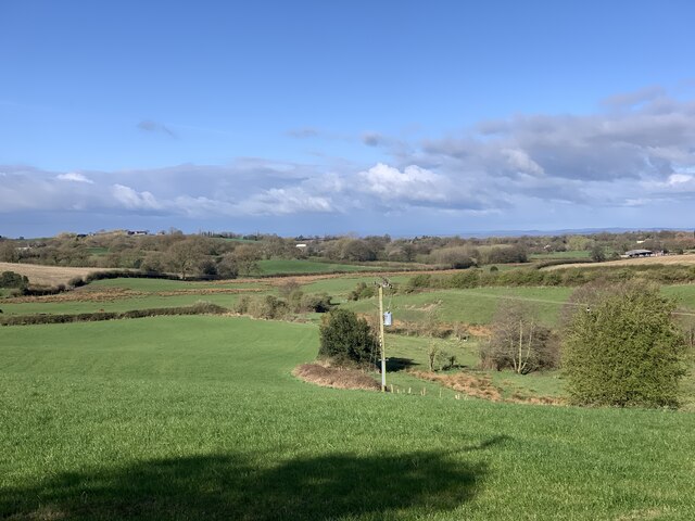
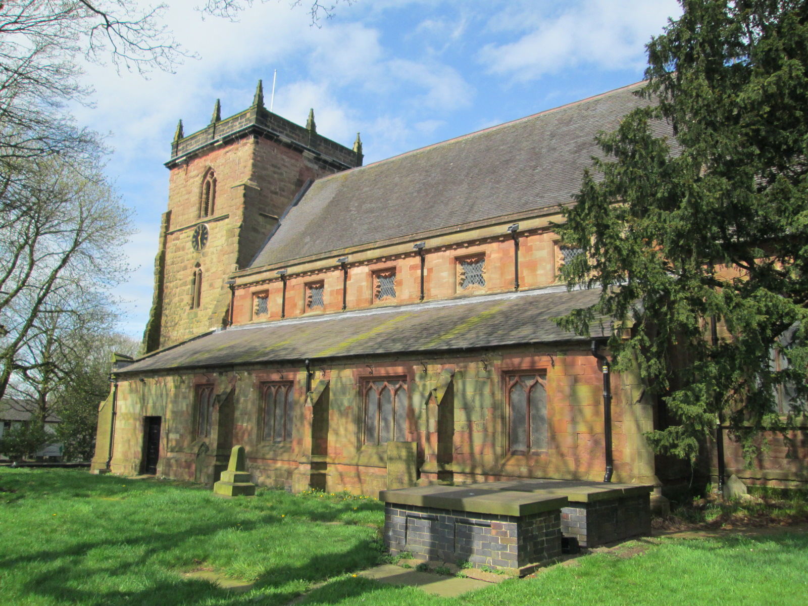
Audley is a small village located in Staffordshire, England. Situated approximately 6 miles north-east of Newcastle-under-Lyme and 8 miles south-west of Stoke-on-Trent, Audley is nestled in the picturesque countryside of North Staffordshire. The village is part of the Staffordshire Moorlands district and has a population of around 7,000 residents.

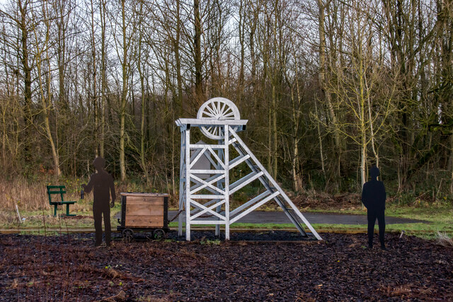
Historically, Audley was a mining community, primarily involved in coal mining during the 19th and early 20th centuries. The mining industry shaped the village's landscape and economy for many years. However, as the mining industry declined, Audley transitioned into a more residential area with a mix of traditional stone houses and modern developments.

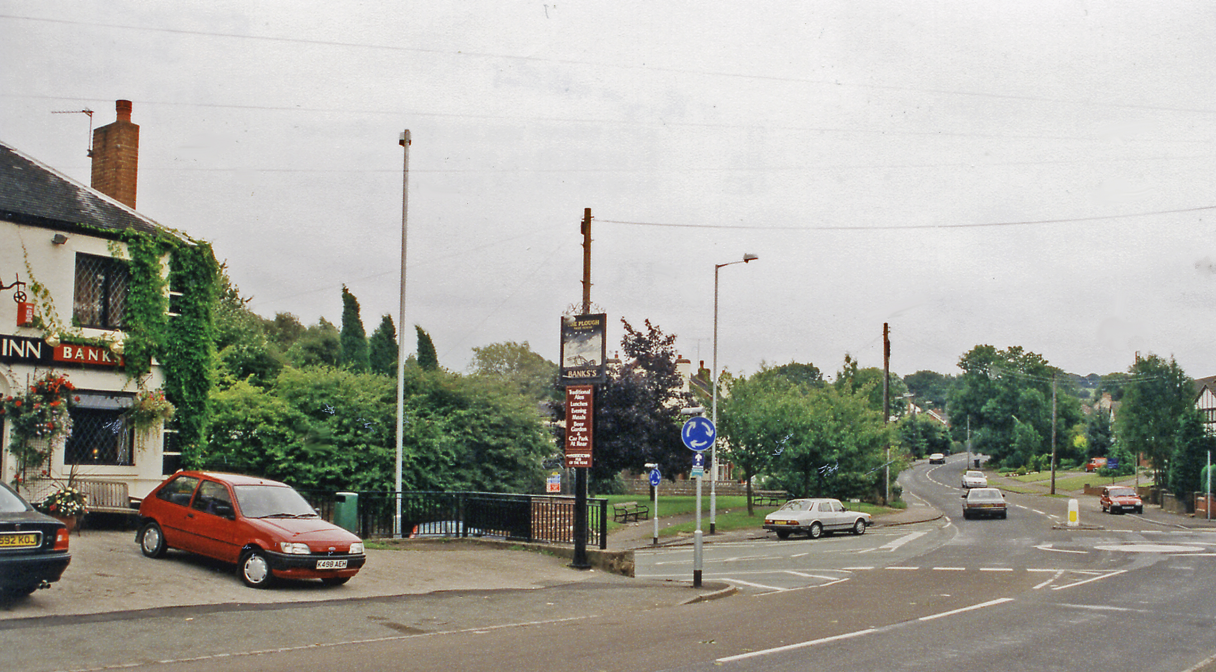
The village offers a range of amenities to its residents, including local shops, a post office, a library, and a few traditional pubs. Audley also has a primary school, providing education for children in the area. The village is well-connected by road, with the A500 and A527 passing nearby, enabling easy access to the surrounding areas.

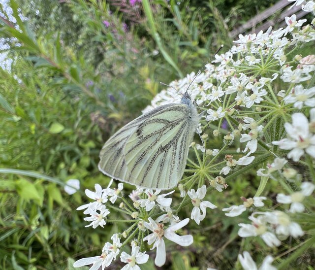
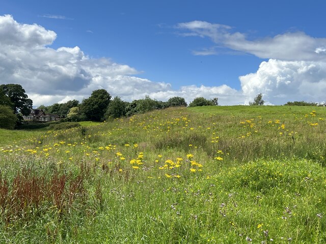
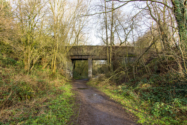
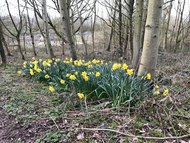
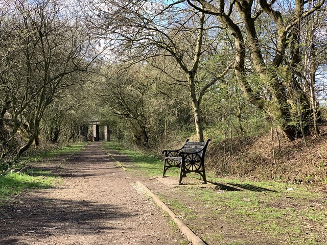
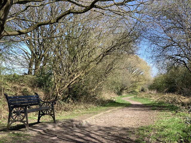
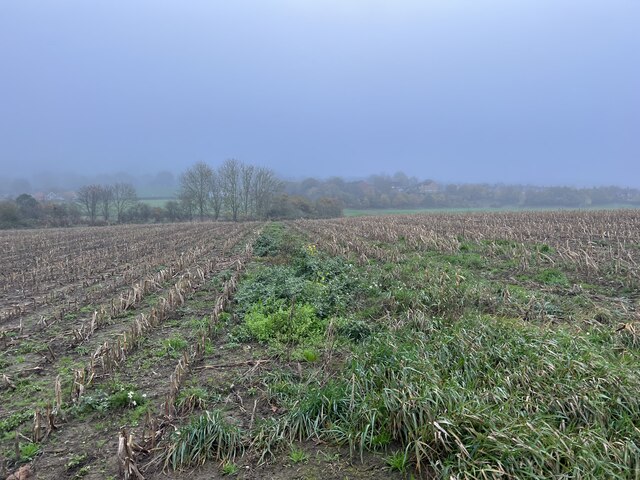
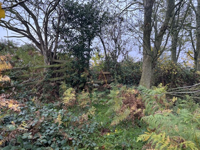
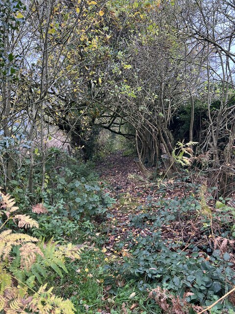
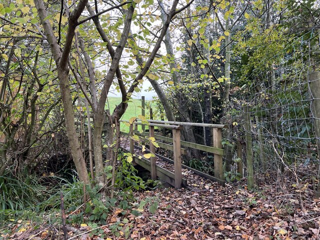
Nature enthusiasts can explore the scenic countryside surrounding Audley, with several walking trails and parks in the vicinity. The village is close to the beautiful Mow Cop Castle, a Grade II listed folly that offers panoramic views of the surrounding area.

Overall, Audley is a charming village that combines its rich mining heritage with modern amenities, making it an attractive place to live for those seeking a peaceful and picturesque setting in Staffordshire.

If you have any feedback on the listing, please let us know in the comments section below.
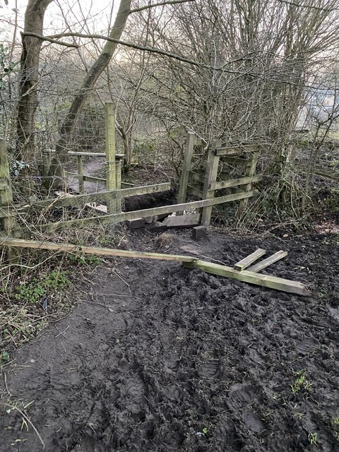
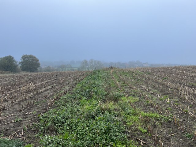
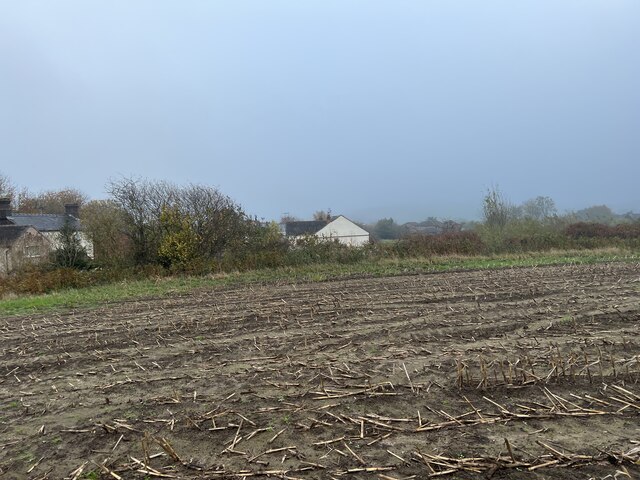
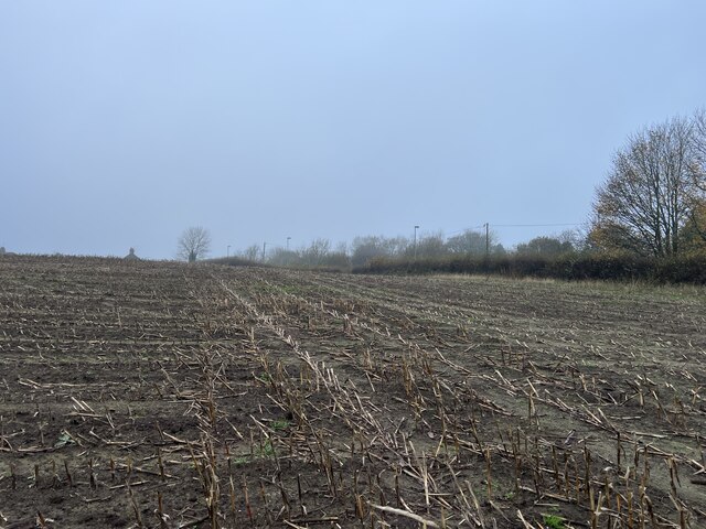
Audley Images

Images are sourced within 2km of 53.053326/-2.305809 or Grid Reference SJ7950. Thanks to Geograph Open Source API. All images are credited.

Green-veined White by Cloggers Pool Bateswood Country Park, north-west of Newcastle-under-Lyme in Staffordshire and adjacent to the village of Halmer End, is designated as a Local Nature Reserve (LNR). It was developed after the cessation of opencast mining in the 1990s, which left the area as a barren wasteland with poor quality soil. Birch reforestation and the creation of a lake have improved the habitat for wildlife, while a network of footpaths and a bridle path create access to most parts of the site. In 2012 managed fishing by a local angling club was permitted, in an attempt to curb illicit fishing.

The site is managed by Newcastle Borough Council in partnership with Halmer End Wildlife Trust, a group of volunteers.

This site is not to be confused with Staffordshire Wildlife Trust's reserve immediately to the south, also called Bateswood (see <a title="https://www.geograph.org.uk/snippet/12701)" href="https://www.geograph.org.uk/snippet/12701)">Link</a>.
Green-veined White by Cloggers Pool
Bateswood Country Park, north-west of Newcastle-under-Lyme in Staffordshire and adjacent to the village of Halmer End, is designated as a Local Nature Reserve (LNR). It was developed after the cessation of opencast mining in the 1990s, which left the area as a barren wasteland with poor quality soil. Birch reforestation and the creation of a lake have improved the habitat for wildlife, while a network of footpaths and a bridle path create access to most parts of the site. In 2012 managed fishing by a local angling club was permitted, in an attempt to curb illicit fishing. The site is managed by Newcastle Borough Council in partnership with Halmer End Wildlife Trust, a group of volunteers. This site is not to be confused with Staffordshire Wildlife Trust's reserve immediately to the south, also called Bateswood (see Link.
Car park behind community centre
Town Fields
Town Fields
Bridge over the Audley Branch Line Bridge over the North Staffordshire Railway (NSR) Audley branch line. 
The line was opened 1870 and closed in 1962.
Bridge over the Audley Branch Line
Bridge over the North Staffordshire Railway (NSR) Audley branch line. The line was opened 1870 and closed in 1962.
Minnie Pit Disaster (1918) Heritage site The Minnie Pit disaster was a coal mining accident that took place on 12 January 1918 in Halmer End, Staffordshire, in which 155 men and boys died. The disaster, which was caused by an explosion due to firedamp, is the worst ever recorded in the North Staffordshire Coalfield.

<span class="nowrap"><a title="https://en.wikipedia.org/wiki/Minnie_Pit_Disaster" rel="nofollow ugc noopener" href="https://en.wikipedia.org/wiki/Minnie_Pit_Disaster">Link</a><img style="margin-left:2px;" alt="External link" title="External link - shift click to open in new window" src="https://s1.geograph.org.uk/img/external.png" width="10" height="10"/></span>
Minnie Pit Disaster (1918) Heritage site
The Minnie Pit disaster was a coal mining accident that took place on 12 January 1918 in Halmer End, Staffordshire, in which 155 men and boys died. The disaster, which was caused by an explosion due to firedamp, is the worst ever recorded in the North Staffordshire Coalfield. LinkExternal link
Daffodils at Bateswood Country Park Bateswood Country Park, north-west of Newcastle-under-Lyme in Staffordshire and adjacent to the village of Halmer End, is designated as a Local Nature Reserve (LNR). It was developed after the cessation of opencast mining in the 1990s, which left the area as a barren wasteland with poor quality soil. Birch reforestation and the creation of a lake have improved the habitat for wildlife, while a network of footpaths and a bridle path create access to most parts of the site. In 2012 managed fishing by a local angling club was permitted, in an attempt to curb illicit fishing.

The site is managed by Newcastle Borough Council in partnership with Halmer End Wildlife Trust, a group of volunteers.

This site is not to be confused with Staffordshire Wildlife Trust's reserve immediately to the south, also called Bateswood (see <a title="https://www.geograph.org.uk/snippet/12701)" href="https://www.geograph.org.uk/snippet/12701)">Link</a>.
Daffodils at Bateswood Country Park
Bateswood Country Park, north-west of Newcastle-under-Lyme in Staffordshire and adjacent to the village of Halmer End, is designated as a Local Nature Reserve (LNR). It was developed after the cessation of opencast mining in the 1990s, which left the area as a barren wasteland with poor quality soil. Birch reforestation and the creation of a lake have improved the habitat for wildlife, while a network of footpaths and a bridle path create access to most parts of the site. In 2012 managed fishing by a local angling club was permitted, in an attempt to curb illicit fishing. The site is managed by Newcastle Borough Council in partnership with Halmer End Wildlife Trust, a group of volunteers. This site is not to be confused with Staffordshire Wildlife Trust's reserve immediately to the south, also called Bateswood (see Link.
Bench seat on 'the Lines' 'The Lines' is the local term for the trackbed of the former Audley branch railway (closed 1963). It is not an official footpath but is regularly used by walkers, cyclists, dog-walkers, and schoolchildren going to and from Sir Thomas Boughey school in Halmer End.
Bench seat on 'the Lines'
'The Lines' is the local term for the trackbed of the former Audley branch railway (closed 1963). It is not an official footpath but is regularly used by walkers, cyclists, dog-walkers, and schoolchildren going to and from Sir Thomas Boughey school in Halmer End.
Audley Meadows from Wereton Road
Broken stile and footbridge Staffordshire County Council were notified that the bridge and stile on this public footpath had become almost impassable, and with commendable promptness rebuilt it much more sturdily, see <a href="https://www.geograph.org.uk/photo/7339980">SJ7949 : Rebuilt footbridge over brook</a>
Broken stile and footbridge
Staffordshire County Council were notified that the bridge and stile on this public footpath had become almost impassable, and with commendable promptness rebuilt it much more sturdily, see SJ7949 : Rebuilt footbridge over brook
Footpath through maize field
Maize stubble in November
Footpath through maize field
Stile in hedge on overgrown path
Little-used footpath to Halmer End
Rebuilt footbridge over brook Staffordshire County Council rebuilt the bridge much more sturdily after it had become impassable eight months before, see <a href="https://www.geograph.org.uk/photo/7338506">SJ7949 : Broken stile and footbridge</a>
Rebuilt footbridge over brook
Staffordshire County Council rebuilt the bridge much more sturdily after it had become impassable eight months before, see SJ7949 : Broken stile and footbridge
Rebuilt footbridge over brook By early spring 2021 this double-plank footbridge had become almost impassable, with one plank gone and the other seriously unstable due to bank erosion: in addition the stile at the further (field) end was broken - see <a href="https://www.geograph.org.uk/photo/7338506">SJ7949 : Broken stile and footbridge</a>

With commendable promptness Staffordshire County Council rebuilt it much more sturdily. See also a view of the other end from the field <a href="https://www.geograph.org.uk/photo/7339980">SJ7949 : Rebuilt footbridge over brook</a>
Rebuilt footbridge over brook
By early spring 2021 this double-plank footbridge had become almost impassable, with one plank gone and the other seriously unstable due to bank erosion: in addition the stile at the further (field) end was broken - see SJ7949 : Broken stile and footbridge With commendable promptness Staffordshire County Council rebuilt it much more sturdily. See also a view of the other end from the field SJ7949 : Rebuilt footbridge over brook
Show me another place!

Audley is located at Grid Ref: SJ7950 (Lat: 53.053326, Lng: -2.305809)

Administrative County: Staffordshire

District: Newcastle-under-Lyme

Police Authority: Staffordshire

What 3 Words

///hopefully.mountain.nozzles. Near Audley, Staffordshire

Related Wikis

Nearby Amenities

Located within 500m of 53.053326,-2.305809
Mini Roundabout
Direction: clockwise
Lat/Long: 53.0558361/-2.3046101
Bus Stop
Council Offices
Bus: yes
Naptan AtcoCode: 3800C500100
Naptan Bearing: E
Naptan CommonName: Council Offices
Naptan Indicator: Adj
Naptan Landmark: Council Offices
Naptan PlusbusZoneRef: STOKEOT
Naptan Street: New Rd
Naptan Verified: no
Public Transport: platform
Source: naptan_import
Lat/Long: 53.0559165/-2.301431
Bus Stop
Council Offices
Bus: yes
Naptan AtcoCode: 3800C500101
Naptan Bearing: W
Naptan CommonName: Council Offices
Naptan Indicator: Opp
Naptan Landmark: Council Offices
Naptan PlusbusZoneRef: STOKEOT
Naptan Street: New Rd
Naptan Verified: no
Public Transport: platform
Source: naptan_import
Lat/Long: 53.0557368/-2.3014148
Bus Stop
Westfield Avenue
Bus: yes
Naptan AtcoCode: 3800C510700
Naptan Bearing: NE
Naptan CommonName: Westfield Avenue
Naptan Indicator: Adj
Naptan Landmark: Westfield Avenue
Naptan Street: Meadowside Avenue
Naptan Verified: no
Public Transport: platform
Source: naptan_import
Lat/Long: 53.050911/-2.3078557
Bus Stop
Grassy Green Lane
Bus: yes
Naptan AtcoCode: 3800C516201
Naptan Bearing: S
Naptan CommonName: Grassy Green Lane
Naptan Indicator: Adj
Naptan Landmark: Grassy Green Lane
Naptan PlusbusZoneRef: STOKEOT
Naptan Street: Hougher Wall Road
Naptan Verified: no
Public Transport: platform
Source: naptan_import
Lat/Long: 53.0501639/-2.3012118
Bus Stop
Grassy Green Lane
Bus: yes
Naptan AtcoCode: 3800C516202
Naptan Bearing: N
Naptan CommonName: Grassy Green Lane
Naptan Indicator: Opp
Naptan Landmark: Grassy Green Ln
Naptan PlusbusZoneRef: STOKEOT
Naptan Street: Hougher Wall Rd
Naptan Verified: no
Public Transport: platform
Source: naptan_import
Lat/Long: 53.0498044/-2.3011944
Bus Stop
Hougher Wall Road
Bus: yes
Naptan AtcoCode: 3800C516301
Naptan Bearing: S
Naptan CommonName: Hougher Wall Road
Naptan Indicator: Adj
Naptan Landmark: Hougher Wall Road
Naptan PlusbusZoneRef: STOKEOT
Naptan Street: Church Street
Naptan Verified: no
Public Transport: platform
Source: naptan_import
Lat/Long: 53.0521028/-2.3023144
Bus Stop
Chapel Lane
Bus: yes
Naptan AtcoCode: 3800C516302
Naptan Bearing: N
Naptan CommonName: Chapel Lane
Naptan Indicator: Adj
Naptan Landmark: Chapel Lane
Naptan PlusbusZoneRef: STOKEOT
Naptan Street: Church Street
Naptan Verified: no
Public Transport: platform
Source: naptan_import
Lat/Long: 53.0528128/-2.302394
Bus Stop
Wereton Road
Bus: yes
Naptan AtcoCode: 3800C516401
Naptan Bearing: E
Naptan CommonName: Wereton Road
Naptan Indicator: Adj
Naptan Landmark: Wereton Road
Naptan PlusbusZoneRef: STOKEOT
Naptan Street: Vernon Avenue
Naptan Verified: no
Public Transport: platform
Source: naptan_import
Lat/Long: 53.0518225/-2.302939
Bus Stop
Booth Street
Bus: yes
Naptan AtcoCode: 3800C535301
Naptan Bearing: NE
Naptan CommonName: Booth Street
Naptan Indicator: Adj
Naptan Landmark: Booth Street
Naptan PlusbusZoneRef: STOKEOT
Naptan Street: Wereton Road
Naptan Verified: no
Public Transport: platform
Source: naptan_import
Lat/Long: 53.0512587/-2.3047667
Bus Stop
Wereton Road
Bus: yes
Naptan AtcoCode: 3800C535401
Naptan Bearing: W
Naptan CommonName: Wereton Road
Naptan Indicator: Adj
Naptan Landmark: Wereton Road
Naptan PlusbusZoneRef: STOKEOT
Naptan Street: Queen Street
Naptan Verified: no
Public Transport: platform
Source: naptan_import
Lat/Long: 53.0491557/-2.3052923
Bus Stop
Vernon Avenue
Bus: yes
Naptan AtcoCode: 3800C535601
Naptan Bearing: NE
Naptan CommonName: Vernon Avenue
Naptan Indicator: Adj
Naptan Landmark: Vernon Avenue
Naptan PlusbusZoneRef: STOKEOT
Naptan Street: Meadowside Avenue
Naptan Verified: no
Public Transport: platform
Source: naptan_import
Lat/Long: 53.0526592/-2.3061823
Bus Stop
Library
Bench: yes
Bin: no
Bus: yes
Naptan AtcoCode: 3800C590301
Naptan Bearing: N
Naptan CommonName: Library
Naptan Indicator: Opp
Naptan Landmark: Library
Naptan PlusbusZoneRef: STOKEOT
Naptan Street: Church Street
Naptan Verified: no
Public Transport: platform
Shelter: yes
Source: naptan_import
Tactile Paving: no
Lat/Long: 53.0538658/-2.3018941
Bus Stop
Hall Street
Bench: yes
Bin: no
Bus: yes
Naptan AtcoCode: 3800C590302
Naptan Bearing: S
Naptan CommonName: Hall Street
Naptan Indicator: Adj
Naptan Landmark: Hall Street
Naptan PlusbusZoneRef: STOKEOT
Naptan Street: Church Street
Naptan Verified: no
Public Transport: platform
Shelter: yes
Source: naptan_import
Lat/Long: 53.0537781/-2.3018
Audley
Place: village
Wikidata: Q4820049
Lat/Long: 53.0535042/-2.302504
Power: pole
Lat/Long: 53.053593/-2.3108998
Power: pole
Lat/Long: 53.0498995/-2.3105515
Power: pole
Lat/Long: 53.0496655/-2.3090679
Post Office
Audley Post Office
Lat/Long: 53.0525434/-2.3020002
Power: pole
Lat/Long: 53.0527466/-2.3124796
Power: pole
Lat/Long: 53.0543072/-2.309717
Barrier: stile
Material: wood
Step Count: 1
Lat/Long: 53.0559053/-2.3008002
Pub
Butchers Arms
Lat/Long: 53.0544018/-2.3018957
Traffic Signals
Button Operated: yes
Crossing: traffic_signals
Crossing Ref: pelican
Supervised: no
Lat/Long: 53.055812/-2.301133
Tesco Express
Brand: Tesco Express
Brand Wikidata: Q98456772
Contact Website: https://www.tesco.com/store-locator/stoke-on-trent/57-church-st
Shop: convenience
Lat/Long: 53.0528742/-2.3017886
Audley Castle
HE Ref: 1011071
Fortification Type: motte
Historic: archaeological_site
Wikidata: Q17651004
Lat/Long: 53.0561807/-2.3008847
Waste Basket
Lat/Long: 53.0537501/-2.3017326
Waste Basket
Lat/Long: 53.0534502/-2.3005453
Bench
Backrest: no
Lat/Long: 53.0528264/-2.2988982
Bench: yes
Covered: no
Leisure: picnic_table
Lit: no
Material: metal
Lat/Long: 53.0529041/-2.2984789
Bench
Backrest: no
Material: metal
Lat/Long: 53.0534707/-2.3003483
Bench
Backrest: no
Lit: no
Material: metal
Lat/Long: 53.0529322/-2.298519
Bench
Backrest: yes
Lat/Long: 53.0533147/-2.2984392
Bench
Backrest: no
Lit: no
Material: metal
Lat/Long: 53.0528742/-2.298519
Bench: yes
Covered: no
Leisure: picnic_table
Lit: no
Material: metal
Lat/Long: 53.0529048/-2.2985646
Hiking: yes
Information: guidepost
Material: metal
Tourism: information
Lat/Long: 53.0558357/-2.3010993
Barrier: cycle_barrier
Lat/Long: 53.0576284/-2.3038137
Man Made: mast
Tower Type: communication
Lat/Long: 53.0570869/-2.3017842
Barrier: bollard
Lat/Long: 53.0557915/-2.3020105
Barrier: swing_gate
Foot: yes
Lat/Long: 53.0567404/-2.3017319
Waste Basket
Lat/Long: 53.0565415/-2.3016841
Crossing
Lat/Long: 53.0533992/-2.3020932
Bridge Support: yes
Lat/Long: 53.0536271/-2.2986765
Bench
Backrest: yes
Lat/Long: 53.0536088/-2.2986021
Life Ring
Emergency: life_ring
Lat/Long: 53.0535982/-2.2985852
Bridge Support: yes
Lat/Long: 53.053849/-2.2987424
Camera Mount: pole
Camera Type: fixed
Man Made: surveillance
Surveillance: public
Surveillance Type: camera
Lat/Long: 53.0535119/-2.300747
Bench
Lat/Long: 53.0548036/-2.2992882
Bench
Lat/Long: 53.0530576/-2.2986367
Restaurant
Alessi
Cuisine: curry;indian
Lat/Long: 53.0536771/-2.3020489
Restaurant
New Royal Bengal
Cuisine: curry
Lat/Long: 53.0533638/-2.3018765
The data included in this document is from www.openstreetmap.org. The data is made available under ODbL.

Have you been to Audley?

Leave your review of Audley below (or comments, questions and feedback).