Rubha Camas nam Feuchaig
Coastal Feature, Headland, Point in Inverness-shire
Scotland
Rubha Camas nam Feuchaig
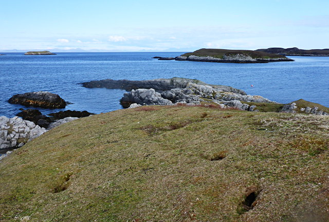
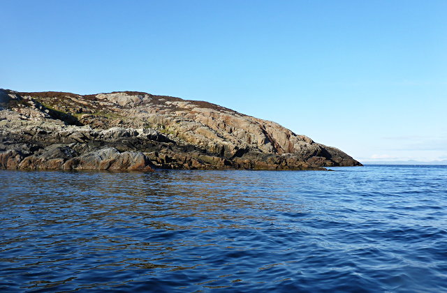
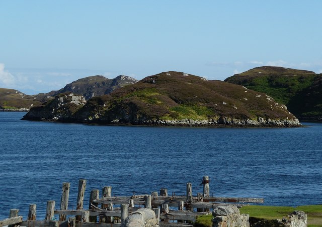
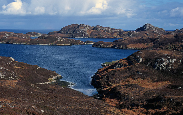
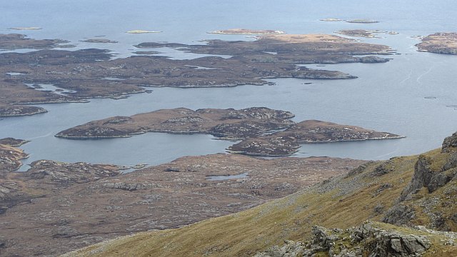
Rubha Camas nam Feuchaig is a prominent coastal feature located in Inverness-shire, Scotland. Also known as Camasnamfeochaig Point, it is situated on the western coast of the Scottish Highlands, overlooking the North Atlantic Ocean. This headland juts out into the sea, forming a distinctive and picturesque point.
The name Rubha Camas nam Feuchaig is derived from Gaelic, with "Rubha" meaning "headland" and "Camas nam Feuchaig" translating to "bay of the seagulls." This is an appropriate name, as the area is known for its diverse birdlife, including various species of gulls.
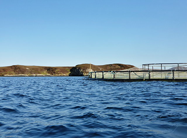
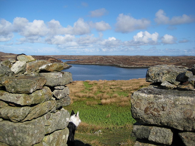
The headland offers stunning panoramic views of the surrounding coastline and is a popular spot for nature enthusiasts and photographers. The rugged cliffs and rocky shoreline provide a dramatic backdrop, with the crashing waves of the Atlantic adding to the scenic beauty.
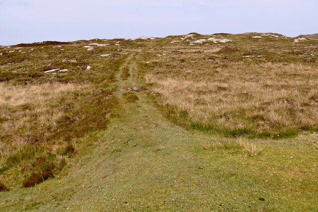
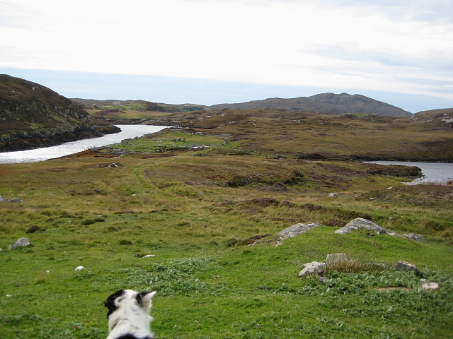
Access to Rubha Camas nam Feuchaig is relatively easy, with a footpath leading to the point from a nearby car park. The path winds through heather-covered moorland, offering an opportunity to appreciate the unique flora and fauna of the area. Along the way, visitors may encounter other wildlife such as seals, dolphins, and a variety of seabirds.
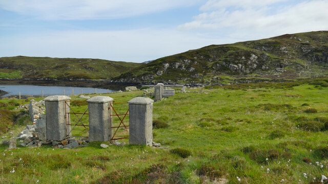
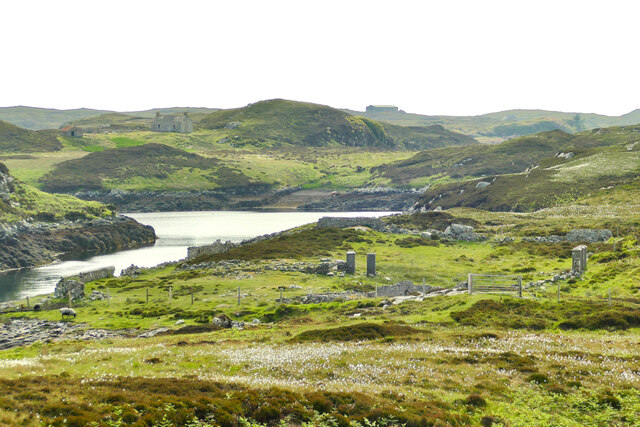
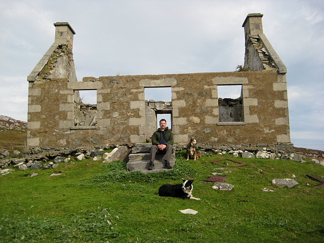
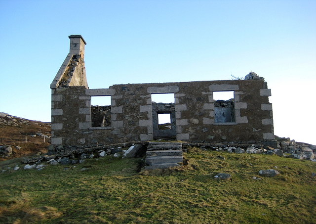
The location also holds historical significance, with remnants of a World War II radar station still visible on the headland. This serves as a reminder of the area's involvement in the war effort and adds another layer of interest to the site.
Overall, Rubha Camas nam Feuchaig is an enchanting coastal feature that combines natural beauty, wildlife, and a touch of history, making it a must-visit destination for those exploring the Inverness-shire region.
If you have any feedback on the listing, please let us know in the comments section below.
Rubha Camas nam Feuchaig Images
Images are sourced within 2km of 57.335562/-7.2397364 or Grid Reference NF8439. Thanks to Geograph Open Source API. All images are credited.


Rubha Camas nam Feuchaig is located at Grid Ref: NF8439 (Lat: 57.335562, Lng: -7.2397364)
Unitary Authority: Na h-Eileanan an Iar
Police Authority: Highlands and Islands
What 3 Words
///installs.digesting.tubes. Near Balivanich, Na h-Eileanan Siar
Nearby Locations
Related Wikis

Ushenish Lighthouse
The Ushenish Lighthouse is an active lighthouse located in South Uist, Outer Hebrides, Scotland. == History == Ushenish Lighthouse was designed by engineers...

Hecla (South Uist)
Hecla or Thacla is a mountain on the island of South Uist in the Outer Hebrides of Scotland. With a height of 606 metres (1,988 ft), it is the second-highest...

Loch Druidibeg
Loch Druidibeag is a freshwater loch situated on the island of South Uist, in the Outer Hebrides of Scotland. The loch is near the northern end of the...

Eilean na Cille
Eilean na Cille, south east of Benbecula is an island of the Outer Hebrides connected to Grimsay (South) by a causeway which carries the B891. The road...

South Uist Machair and Lochs
The South Uist Machair and Lochs is a protected wetland area on the west coast of South Uist in the Outer Hebrides of Scotland. A total of 5,019 hectares...

Our Lady of the Isles
Our Lady of the Isles (Gaelic: Moire ro Naomh nan Eilean or Bana Thighearna nan Eilean) is a sculpture of the Madonna and Child, on South Uist in the Outer...

Carnan (townland)
Carnan is a townland in County Tyrone, Northern Ireland. It is situated in the historic barony of Dungannon Upper and the civil parish of Arboe and covers...

Wiay, Outer Hebrides
Wiay (Scottish Gaelic: Bhuia or Fuidheigh) is an uninhabited island in the Outer Hebrides. It lies south-east of Benbecula and measures approximately...
Have you been to Rubha Camas nam Feuchaig?
Leave your review of Rubha Camas nam Feuchaig below (or comments, questions and feedback).