Rubha Glas
Coastal Feature, Headland, Point in Inverness-shire
Scotland
Rubha Glas

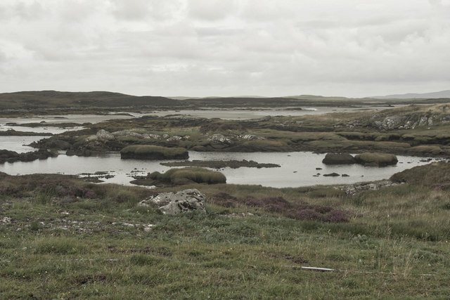
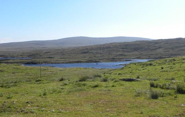
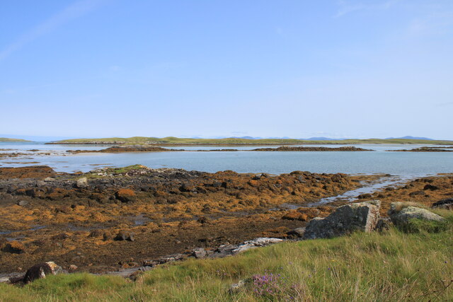
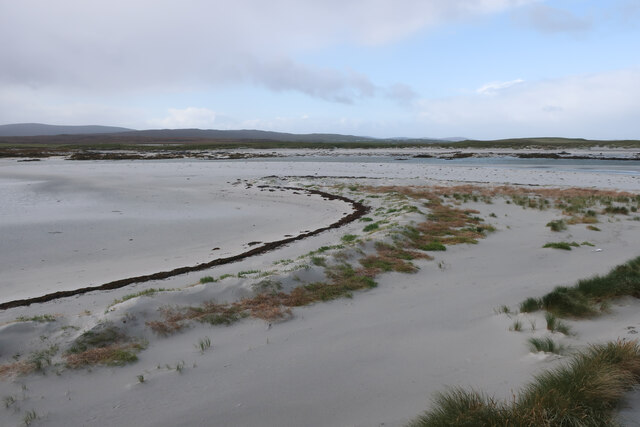
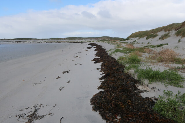
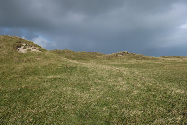
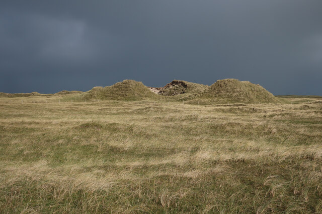
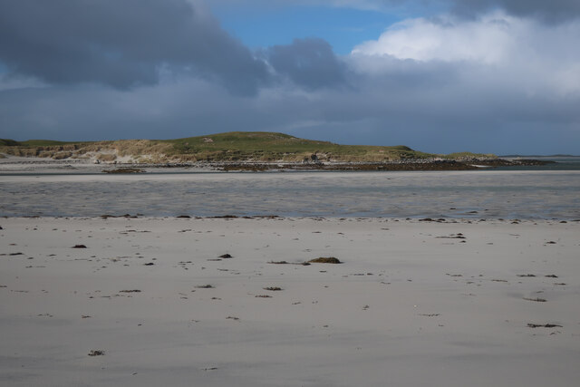
Rubha Glas is a prominent coastal feature located in the region of Inverness-shire, Scotland. It is a headland that stretches into the North Sea, forming a distinct point along the rugged coastline. The name "Rubha Glas" translates to "green point" in Gaelic, which accurately describes the lush greenery that covers the headland.
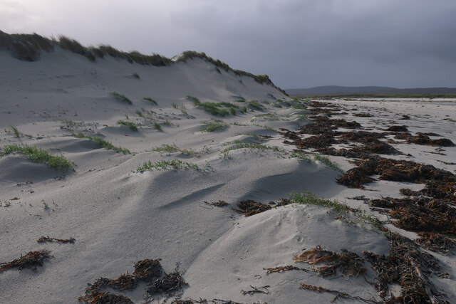
This coastal feature boasts stunning natural beauty, with its dramatic cliffs and rocky terrain. The headland offers breathtaking panoramic views of the surrounding sea and the distant horizon, making it a popular spot for nature enthusiasts and photographers. The crashing waves against the cliffs create a mesmerizing spectacle, adding to the allure of Rubha Glas.
The headland is also known for its diverse wildlife. Seabirds such as gannets, puffins, and guillemots can be spotted nesting on the cliffs, while seals and dolphins are often seen swimming in the waters below. The surrounding waters are rich in marine life, making it an ideal location for fishing and diving.
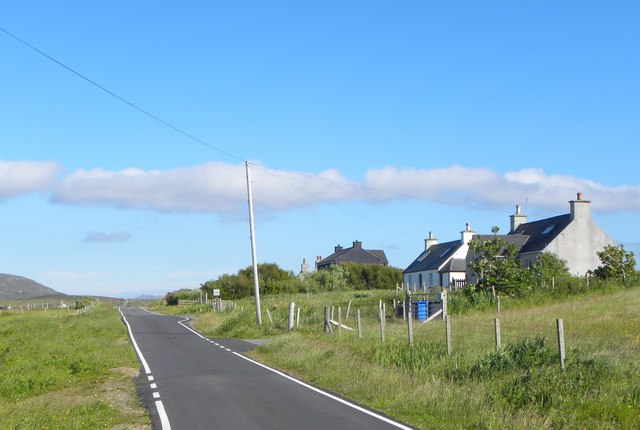
Rubha Glas is easily accessible by both land and sea. It can be reached by following a well-maintained coastal path, which provides a pleasant walking experience. Additionally, boat tours are available for those who wish to explore the area from the water.
Overall, Rubha Glas is a captivating coastal feature that offers a unique blend of natural beauty and wildlife. Its picturesque views and diverse ecosystem make it a must-visit destination for nature lovers and adventure seekers in Inverness-shire.
If you have any feedback on the listing, please let us know in the comments section below.
Rubha Glas Images
Images are sourced within 2km of 57.650553/-7.29191 or Grid Reference NF8474. Thanks to Geograph Open Source API. All images are credited.


Rubha Glas is located at Grid Ref: NF8474 (Lat: 57.650553, Lng: -7.29191)
Unitary Authority: Na h-Eileanan an Iar
Police Authority: Highlands and Islands
What 3 Words
///domestic.notch.amicably. Near Lochmaddy, Na h-Eileanan Siar
Nearby Locations
Related Wikis

Oronsay, Outer Hebrides
Oronsay (Gaelic Orasaigh) is a tidal island off North Uist in the Outer Hebrides. Lying to the north of Vallaquie Strand, the island has been uninhabited...

Sollas
Sollas (Scottish Gaelic: Solas) is a small crofting township on the northern coast of the island of North Uist, Scotland. == History == === The Battle... ===

Lingeigh, North Uist
Lingeigh is an uninhabited island off North Uist, south east of Boreray. It is separated from North Uist by Traigh Lingeigh. == Footnotes ==

North Uist Machair and Islands
The North Uist Machair and Islands is a protected wetland area in the Outer Hebrides of Scotland. A total of 4,705 hectares comprises seven separate areas...
Have you been to Rubha Glas?
Leave your review of Rubha Glas below (or comments, questions and feedback).