Àird-nan-Laogh

Coastal Feature, Headland, Point in Inverness-shire

Scotland

Àird-nan-Laogh

Bàgh nam Faoileann Very shallow tidal waters separate South Uist and Benbecula.
Bàgh nam Faoileann Credit: Toby Speight

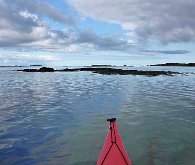
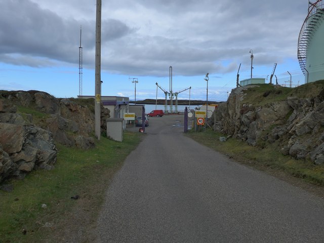
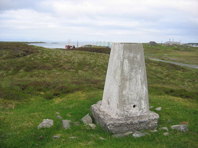
Àird-nan-Laogh is a prominent coastal feature located in Inverness-shire, Scotland. It is a headland or point jutting out into the sea, known for its stunning natural beauty and diverse wildlife.

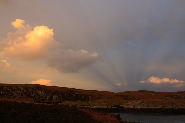
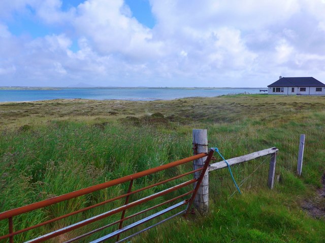
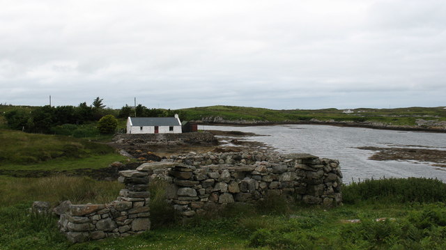
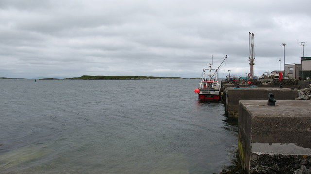
Situated on the west coast of Scotland, Àird-nan-Laogh offers breathtaking views of the surrounding landscape. The headland is characterized by rugged cliffs, which provide a dramatic backdrop against the deep blue waters of the North Atlantic Ocean. The area is also known for its sandy beaches, offering visitors an opportunity to relax and enjoy the coastal scenery.

Apart from its natural beauty, Àird-nan-Laogh is home to a rich variety of wildlife. The headland provides an important habitat for numerous seabirds, including gannets, puffins, and razorbills. Birdwatchers flock to the area to observe these magnificent creatures in their natural environment. Additionally, seals can often be spotted lounging on the rocks, adding to the charm of the location.

The headland is a popular destination for outdoor enthusiasts, offering opportunities for hiking, walking, and photography. There are several well-maintained walking trails that allow visitors to explore the diverse landscape and take in the panoramic views. It is advisable to bring appropriate clothing and footwear, as the weather can change quickly in this coastal area.

Overall, Àird-nan-Laogh is a captivating coastal feature that combines stunning natural scenery with a thriving ecosystem. Whether it's the breathtaking cliffs, sandy beaches, or diverse wildlife, this headland in Inverness-shire offers a truly memorable experience for visitors.

If you have any feedback on the listing, please let us know in the comments section below.

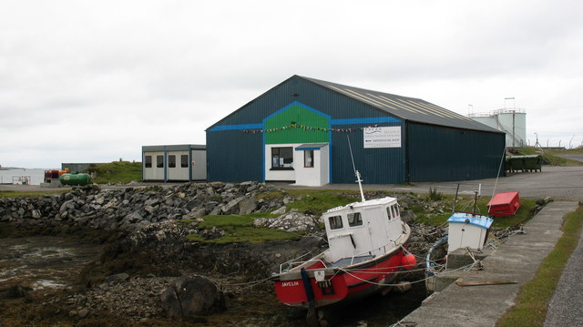
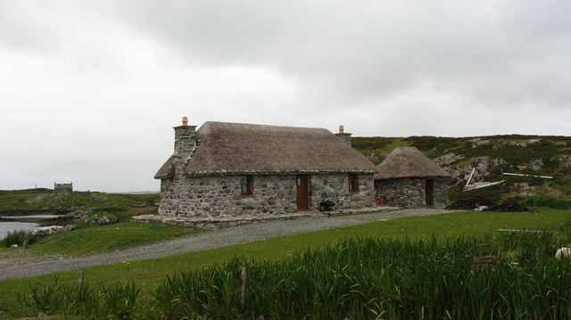
Àird-nan-Laogh Images

Images are sourced within 2km of 57.375457/-7.2866359 or Grid Reference NF8244. Thanks to Geograph Open Source API. All images are credited.

Bàgh nam Faoileann Very shallow tidal waters separate South Uist and Benbecula.
Bàgh nam Faoileann
Very shallow tidal waters separate South Uist and Benbecula.
The Orosay Inn Great wee hotel with simple rooms and great food - especially seafood (I speak only as a satisfied customer!).
The Orosay Inn
Great wee hotel with simple rooms and great food - especially seafood (I speak only as a satisfied customer!).
Wayside shrine On the Loch Carnan road
Wayside shrine
On the Loch Carnan road
Fish farm base at Loch Carnan
Loch Carnan Community Wind Farm Now capable of generating its full 6.9MW.  This wind farm is built on (presumably) crofting land and revenues will go to the local community - revenues estimated at around £20 million over the next 20 years.
Loch Carnan Community Wind Farm
Now capable of generating its full 6.9MW. This wind farm is built on (presumably) crofting land and revenues will go to the local community - revenues estimated at around £20 million over the next 20 years.
Certas Energy fuel depot on South Uist Small fuel tankers call here.  The site is owned by MoD and leased to Certas Energy.
Certas Energy fuel depot on South Uist
Small fuel tankers call here. The site is owned by MoD and leased to Certas Energy.
Loch Carnan Power Station Commissioned in 1971;  diesel powered and with a capacity of 11.8MW
Loch Carnan Power Station
Commissioned in 1971; diesel powered and with a capacity of 11.8MW
Lochcarnan Community Windfarm Now capable of generating its full 6.9MW. This wind farm is built on (presumably) crofting land and revenues will go to the local community - revenues estimated at around £20 million over the next 20 years
Lochcarnan Community Windfarm
Now capable of generating its full 6.9MW. This wind farm is built on (presumably) crofting land and revenues will go to the local community - revenues estimated at around £20 million over the next 20 years
Sunset Shadows Rays and shadows cast by the setting sun over Lochcarnan. The sun is behind the photographer.
Sunset Shadows
Rays and shadows cast by the setting sun over Lochcarnan. The sun is behind the photographer.
New house at Grosavagh Beyond is the stretch of sea separating South Uist (here) from the next island up the chain, Benbecula.
New house at Grosavagh
Beyond is the stretch of sea separating South Uist (here) from the next island up the chain, Benbecula.
Lochcarnan Beyond the trigpoint the background includes a fish processing plant and the Uist's diesel fired power station. The square relevant part is the single track road running through acid soiled grazing on the rugged east coast of South Uist.
Lochcarnan
Beyond the trigpoint the background includes a fish processing plant and the Uist's diesel fired power station. The square relevant part is the single track road running through acid soiled grazing on the rugged east coast of South Uist.
Stone quarry near Loch a Charnain The quarry shown is now flooded and disused, but the working quarry is just around the corner and operated by R J McLeod.
Stone quarry near Loch a Charnain
The quarry shown is now flooded and disused, but the working quarry is just around the corner and operated by R J McLeod.
Road junction and shrine, South Uist. South Uist is a stronghold of the Catholic faith and roadside shrines are plentiful. This one is at Loch a Charnain on the road to Sandavaig.
Road junction and shrine, South Uist.
South Uist is a stronghold of the Catholic faith and roadside shrines are plentiful. This one is at Loch a Charnain on the road to Sandavaig.
Cottage by the shore A nicely restored traditional cottage by the shore, overlooking a narrow inlet on the NE coast of South Uist.
Cottage by the shore
A nicely restored traditional cottage by the shore, overlooking a narrow inlet on the NE coast of South Uist.
Sandavaig Quayside Small port facility on the NE coast of South Uist.
Sandavaig Quayside
Small port facility on the NE coast of South Uist.
Sandavaig Power Station Small power station close to the shore, generating power from diesel fuel which is supplied from Grangemouth.
Sandavaig Power Station
Small power station close to the shore, generating power from diesel fuel which is supplied from Grangemouth.
Smoked salmon factory at Sandavaig. For those who like salmon, there is a very interesting smell as one passes this small factory.
Smoked salmon factory at Sandavaig.
For those who like salmon, there is a very interesting smell as one passes this small factory.
Restored cottage at Rubha Ghaisinis A nicely restored traditional cottage at the road end.
Restored cottage at Rubha Ghaisinis
A nicely restored traditional cottage at the road end.
Show me another place!

Àird-nan-Laogh is located at Grid Ref: NF8244 (Lat: 57.375457, Lng: -7.2866359)

Unitary Authority: Na h-Eileanan an Iar

Police Authority: Highlands and Islands

What 3 Words

///newer.inner.bookings. Near Balivanich, Na h-Eileanan Siar

Related Wikis

Eilean na Cille

Eilean na Cille, south east of Benbecula is an island of the Outer Hebrides connected to Grimsay (South) by a causeway which carries the B891. The road...

Grimsay (South East Benbecula)

Grimsay, south east of Benbecula is a tidal island of the Outer Hebrides. It is connected to Benbecula by a causeway which carries the B891. In the 2001...

Carnan (townland)

Carnan is a townland in County Tyrone, Northern Ireland. It is situated in the historic barony of Dungannon Upper and the civil parish of Arboe and covers...

Iochdar

Iochdar (Scottish Gaelic: An t-Ìochdair), also spelled Eochar, is a hamlet and community on the west coast of the island of South Uist, in the Outer Hebrides...

Nearby Amenities

Located within 500m of 57.375457,-7.2866359
Turning Circle
Lat/Long: 57.3795976/-7.2886558
The data included in this document is from www.openstreetmap.org. The data is made available under ODbL.

Have you been to Àird-nan-Laogh?

Leave your review of Àird-nan-Laogh below (or comments, questions and feedback).