Àird Glas

Coastal Feature, Headland, Point in Inverness-shire

Scotland

Àird Glas

On the straight and narrow Approaching Botarua, N Uist.  The extensive sands of Traigh Bhalaigh to the right.
On the straight and narrow Credit: Gordon Brown

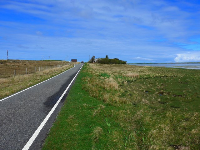
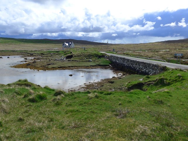
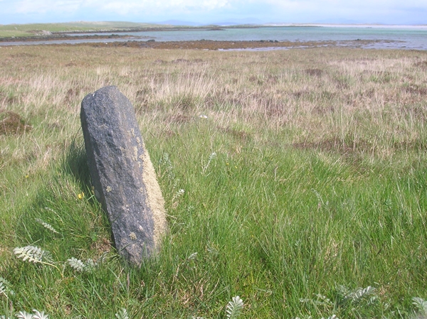
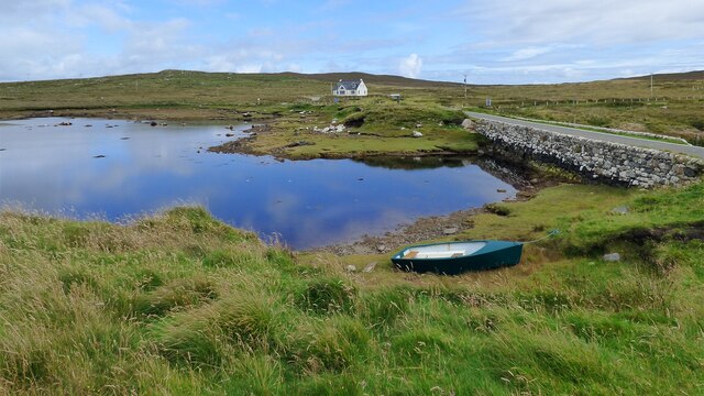
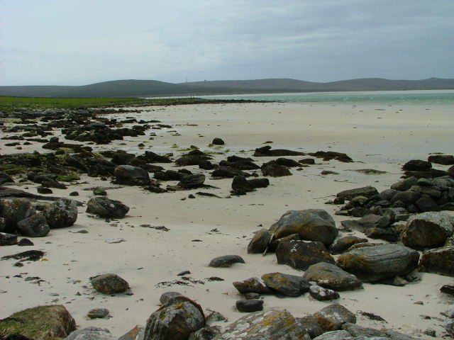
Àird Glas is a prominent coastal feature located in Inverness-shire, Scotland. Situated on the western coast of the country, it is specifically found on the northwestern edge of the Isle of Skye. Àird Glas is classified as a headland or point due to its distinctive jutting formation into the surrounding waters.

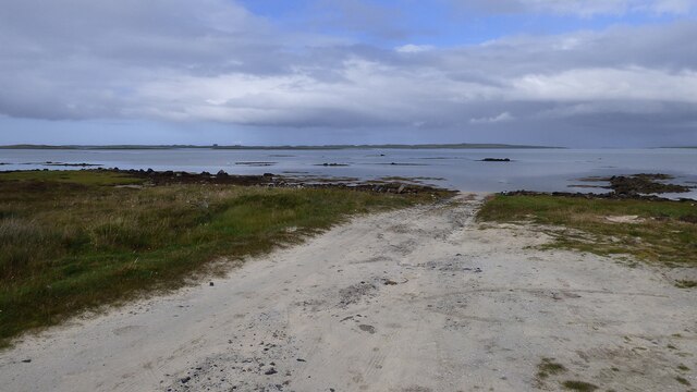
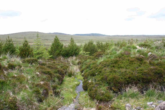
The headland is characterized by its rugged and steep cliffs, which rise dramatically from the sea, providing stunning panoramic views of the surrounding landscape. The exposed nature of Àird Glas means that it is often subject to strong winds and crashing waves, making it both a challenging and awe-inspiring location.

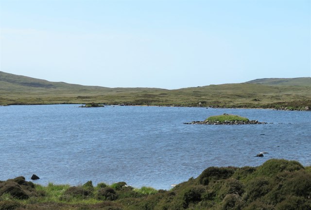
Its geographical location offers visitors a spectacular vantage point from which to witness the meeting of the Atlantic Ocean and the Inner Hebrides. The headland is also renowned for its diverse wildlife, including various seabirds such as puffins, razorbills, and guillemots. Visitors may also be lucky enough to spot seals, dolphins, and even whales in the surrounding waters.

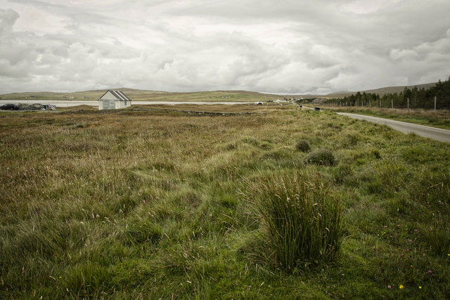
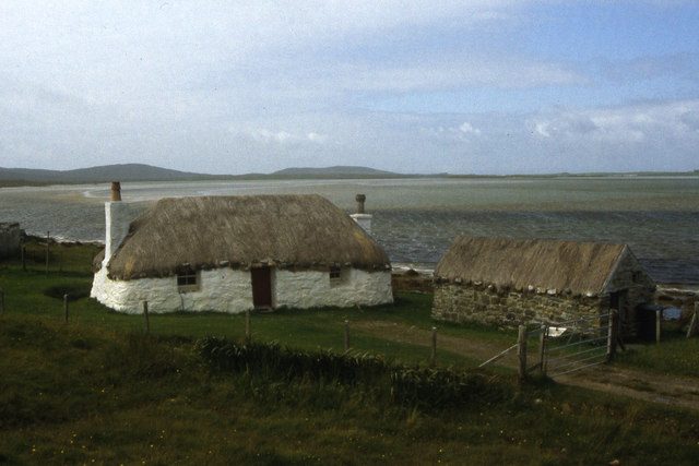
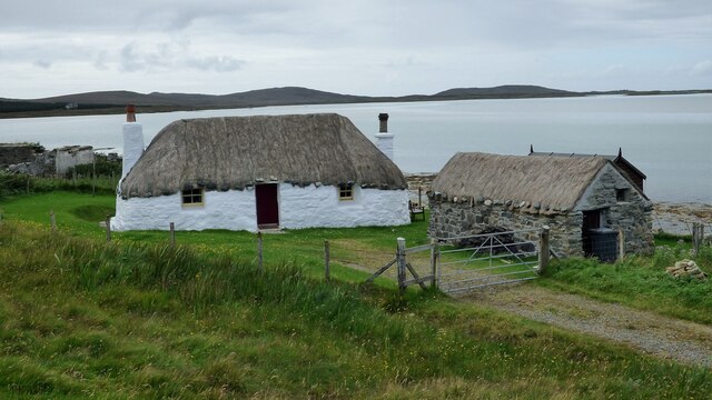
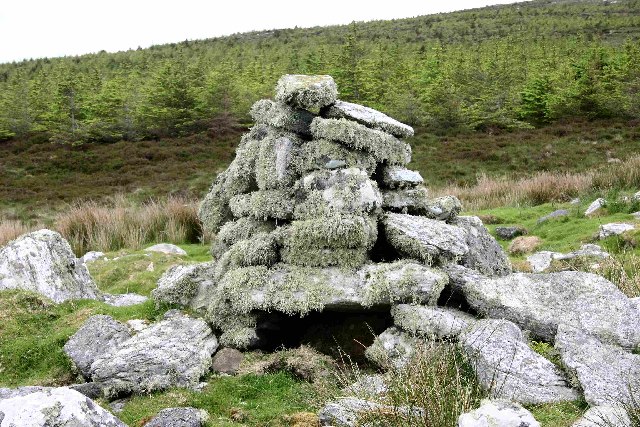
Access to Àird Glas is relatively straightforward, with a footpath leading to the headland from the nearby village of Stein. The coastal walk provides an opportunity to explore the area's natural beauty, with the chance to see wildflowers and heather along the way.

Whether one is interested in picturesque views, wildlife encounters, or simply a peaceful coastal walk, Àird Glas in Inverness-shire is a captivating destination that showcases the unique and breathtaking beauty of the Scottish coast.

If you have any feedback on the listing, please let us know in the comments section below.

Àird Glas Images

Images are sourced within 2km of 57.636236/-7.3946906 or Grid Reference NF7873. Thanks to Geograph Open Source API. All images are credited.

On the straight and narrow Approaching Botarua, N Uist.  The extensive sands of Traigh Bhalaigh to the right.
On the straight and narrow
Approaching Botarua, N Uist. The extensive sands of Traigh Bhalaigh to the right.
The road to Malacleit The bridge is over the Abhainn Ceann a' Bhaigh.
The road to Malacleit
The bridge is over the Abhainn Ceann a' Bhaigh.
Àird Glas
Àird Glas
Old Milestone by the A865, Claddach Vallay, North Uist Parish Granite slab by the A865, in parish of North Uist (North Uist District), Claddach Vallay, near houses at Botarua.

Surveyed

Milestone Society National ID: WI_NUCW13
Old Milestone by the A865, Claddach Vallay, North Uist Parish
Granite slab by the A865, in parish of North Uist (North Uist District), Claddach Vallay, near houses at Botarua. Surveyed Milestone Society National ID: WI_NUCW13
Old Milestone by the A865, Claddach-vallay, North Uist Granite slab by the A865, in parish of North Uist (North Uist District), Claddach-vallay, 100m Southeast of village sign.

Inscription not recorded.

Surveyed

Milestone Society National ID: WI_NUCW12
Old Milestone by the A865, Claddach-vallay, North Uist
Granite slab by the A865, in parish of North Uist (North Uist District), Claddach-vallay, 100m Southeast of village sign. Inscription not recorded. Surveyed Milestone Society National ID: WI_NUCW12
Loch na Gearrachun The tiny island is the site of a dun, whilst the stone causeway leading to it can just be seen to the right.
Loch na Gearrachun
The tiny island is the site of a dun, whilst the stone causeway leading to it can just be seen to the right.
Thatched croft at Malacleit
Road to Vallay This must be one of the longest fords in Britain.
Road to Vallay
This must be one of the longest fords in Britain.
Bridge over the Abhainn Ceann a' Bhaigh
Struan Cottage and outbuilding Traditional Hebridean cottage. <span class="nowrap"><a title="https://canmore.org.uk/site/238235/north-uist-malaclete-struan-ruadh-cottages-struan-cottage" rel="nofollow ugc noopener" href="https://canmore.org.uk/site/238235/north-uist-malaclete-struan-ruadh-cottages-struan-cottage">Link</a><img style="margin-left:2px;" alt="External link" title="External link - shift click to open in new window" src="https://s1.geograph.org.uk/img/external.png" width="10" height="10"/></span>
Struan Cottage and outbuilding
Traditional Hebridean cottage. LinkExternal link
Junction of A865 and C83 near Solas
Traigh Bhalaigh The island of Vallay (Bhalaigh), is only accessible by foot at low tide. It is situated on the North of North Uist. The island itself has standing stones and remnants of ancient settlements and the crumbling ruins of Vallay House. This, once grand, building and several outhouses was owned by Erskine Beveridge, who contributed greatly to the archaeology of North Uist and wrote a weighty book on the subject.
Traigh Bhalaigh
The island of Vallay (Bhalaigh), is only accessible by foot at low tide. It is situated on the North of North Uist. The island itself has standing stones and remnants of ancient settlements and the crumbling ruins of Vallay House. This, once grand, building and several outhouses was owned by Erskine Beveridge, who contributed greatly to the archaeology of North Uist and wrote a weighty book on the subject.
Plantation entrance North Uist
Burn running through plantation, North Uist
Cairn on site of Aisled house
Struan cottage Traditional thatched cottage, since restored.
Struan cottage
Traditional thatched cottage, since restored.
Grazing Land at Malacleit Overlooking Tráigh Balaigh.
Grazing Land at Malacleit
Overlooking Tráigh Balaigh.
Tràigh Bhalaigh Known also as Vallay Strand
Tràigh Bhalaigh
Known also as Vallay Strand
Show me another place!

Àird Glas is located at Grid Ref: NF7873 (Lat: 57.636236, Lng: -7.3946906)

Unitary Authority: Na h-Eileanan an Iar

Police Authority: Highlands and Islands

What 3 Words

///remarks.soups.wharfs. Near Lochmaddy, Na h-Eileanan Siar

Related Wikis

Vallay

Vallay (Scottish Gaelic: Bhàlaigh) is an uninhabited tidal island in the Scottish Outer Hebrides. It can be reached from North Uist by a long beach at...

Sollas

Sollas (Scottish Gaelic: Solas) is a small crofting township on the northern coast of the island of North Uist, Scotland. == History == === The Battle... ===

RRH Benbecula

Remote Radar Head Benbecula or RRH Benbecula, is an air defence radar station operated by the Royal Air Force. It is located at Cleitreabhal a'Deas, 17...

Eilean Dòmhnuill

Ian Armit identifies the islet of Eilean Dòmhnuill (Scottish Gaelic: Eilean Dòmhnaill, Scottish Gaelic pronunciation: [elan ˈt̪õː.ɪʎ], "The Isle of Donald...

Nearby Amenities

Located within 500m of 57.636236,-7.3946906
Cladach Bhàlaigh
Name En: Cladach Vallay
Name Gd: Cladach Bhàlaigh
Place: hamlet
Lat/Long: 57.6373845/-7.4002791
Power: pole
Lat/Long: 57.6336299/-7.3888528
Power: pole
Lat/Long: 57.6343349/-7.3919937
Power: pole
Lat/Long: 57.6344225/-7.3924282
Power: pole
Lat/Long: 57.6346881/-7.3936808
Power: pole
Lat/Long: 57.6349695/-7.3949522
Power: pole
Lat/Long: 57.6352395/-7.3962235
Power: pole
Lat/Long: 57.6355022/-7.3974064
Power: pole
Lat/Long: 57.6357764/-7.398608
Power: pole
Lat/Long: 57.6363134/-7.4011266
Power: pole
Lat/Long: 57.6363407/-7.4022344
Barrier: cattle_grid
Lat/Long: 57.6343995/-7.3905658
Barrier: cattle_grid
Lat/Long: 57.6343312/-7.3902278
Barrier: cattle_grid
Lat/Long: 57.6342458/-7.3897289
Barrier: cattle_grid
Lat/Long: 57.634095/-7.3892971
Barrier: cattle_grid
Lat/Long: 57.6343018/-7.3892113
Passing Place
Lat/Long: 57.6367986/-7.4012448
Passing Place
Lat/Long: 57.6362409/-7.3981861
Passing Place
Lat/Long: 57.6356008/-7.3953701
Passing Place
Lat/Long: 57.6349762/-7.3925758
The data included in this document is from www.openstreetmap.org. The data is made available under ODbL.

Have you been to Àird Glas?

Leave your review of Àird Glas below (or comments, questions and feedback).