Rubh' an Tigh-mhàil

Coastal Feature, Headland, Point in Inverness-shire

Scotland

Rubh' an Tigh-mhàil

Bridge for peat track East Loch Olaidh This bridge carries the track to peat workings to the north of Loch Ceann a' Bhaigh. The drain from Loch Olaidh was, like many on South Uist, apparently dug by Dutch engineers two centuries ago along the line of an existing burn.
Bridge for peat track East Loch Olaidh Credit: AlastairG

Rubh' an Tigh-mhàil is a prominent coastal feature located in the county of Inverness-shire, Scotland. Also known as Rubha na Tigh-mhàil, it is a headland that extends into the North Atlantic Ocean, forming a distinct point along the rugged coastline.

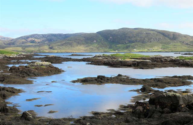
Situated approximately 5 miles southwest of the town of Gairloch, Rubh' an Tigh-mhàil offers breathtaking views of the surrounding landscape. The headland is characterized by steep cliffs that rise dramatically from the sea, reaching heights of up to 100 meters. These cliffs are composed of ancient rock formations, providing a glimpse into the geological history of the region.

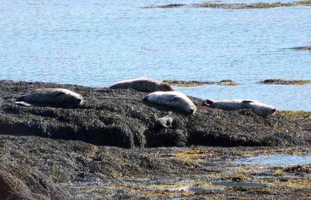
The area surrounding Rubh' an Tigh-mhàil is rich in biodiversity. The coastal waters are home to a diverse range of marine life, including seals, dolphins, and various species of seabirds. The headland itself is covered in lush vegetation, with heather, grasses, and wildflowers dotting the landscape. This provides a haven for numerous bird species, making it a popular destination for birdwatchers.

Access to Rubh' an Tigh-mhàil is relatively easy, with a well-maintained footpath leading to the headland. Visitors can enjoy a leisurely walk along the cliff edge, taking in the stunning panoramic views of the sea and surrounding countryside. The area is also popular for fishing, with opportunities to catch species such as mackerel and haddock.

Overall, Rubh' an Tigh-mhàil is a natural wonder, offering visitors a chance to experience the beauty of Scotland's coastal landscape. Whether exploring the rugged cliffs, observing the diverse wildlife, or simply enjoying the tranquility of the surroundings, this headland is a must-visit location for nature enthusiasts and those seeking a peaceful escape.

If you have any feedback on the listing, please let us know in the comments section below.

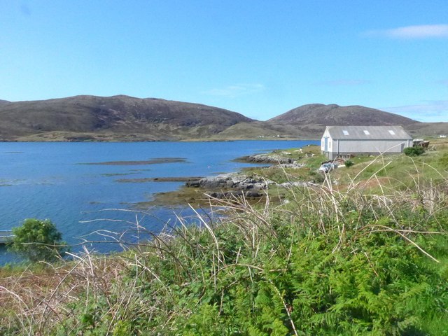
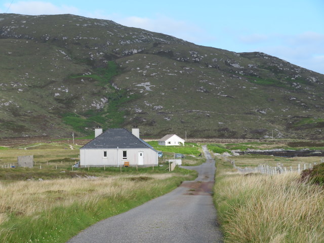
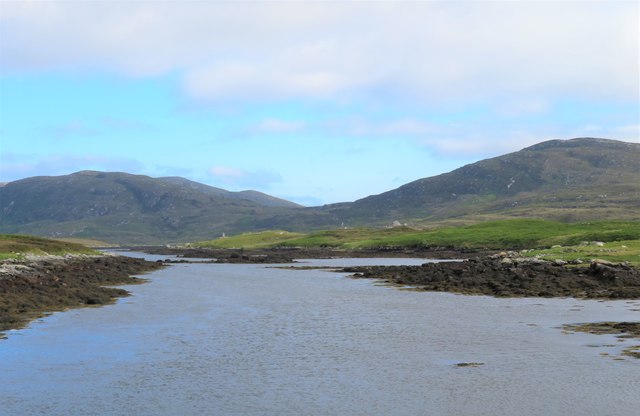
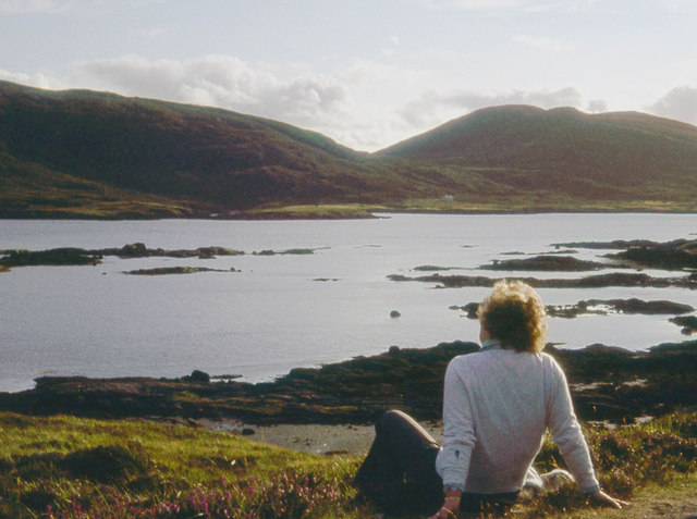
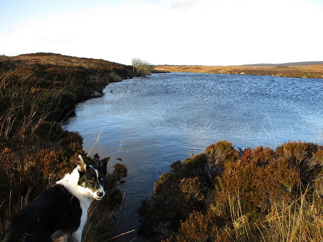
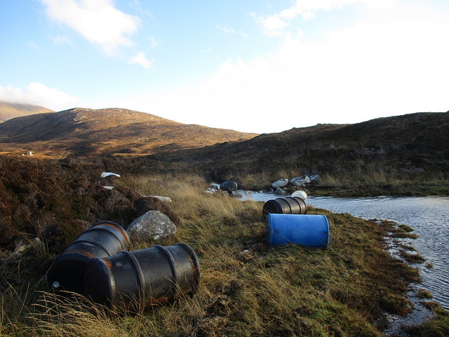
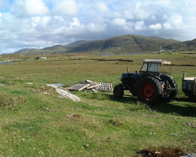
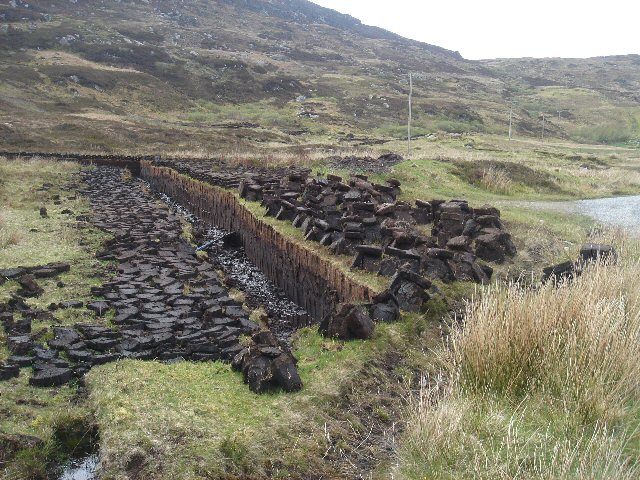
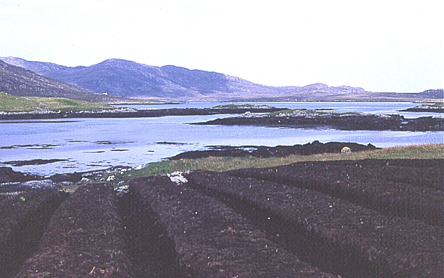
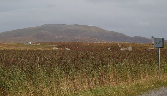
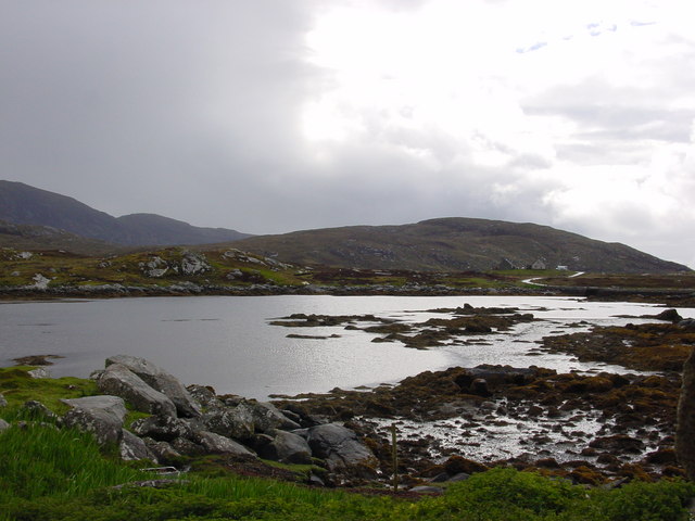
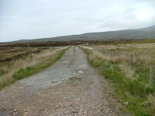
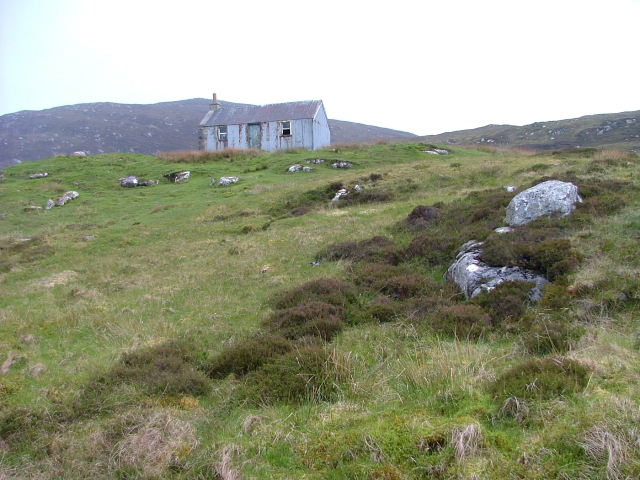
Rubh' an Tigh-mhàil Images

Images are sourced within 2km of 57.235434/-7.3572371 or Grid Reference NF7628. Thanks to Geograph Open Source API. All images are credited.

Bridge for peat track East Loch Olaidh This bridge carries the track to peat workings to the north of Loch Ceann a' Bhaigh. The drain from Loch Olaidh was, like many on South Uist, apparently dug by Dutch engineers two centuries ago along the line of an existing burn.
Bridge for peat track East Loch Olaidh
This bridge carries the track to peat workings to the north of Loch Ceann a' Bhaigh. The drain from Loch Olaidh was, like many on South Uist, apparently dug by Dutch engineers two centuries ago along the line of an existing burn.
Loch Aineort
Loch Aineort
Afternoon snooze time Grey seals saving energy on a rocky reef in Loch Aineort.
Afternoon snooze time
Grey seals saving energy on a rocky reef in Loch Aineort.
Looking out into Loch Aineort The view near the head of the sea loch looking towards where it begins to widen.
Looking out into Loch Aineort
The view near the head of the sea loch looking towards where it begins to widen.
The north Loch Aineort road Heading south east towards the second of two causeways across arms of this complex sea loch.
The north Loch Aineort road
Heading south east towards the second of two causeways across arms of this complex sea loch.
Head of Loch Aineort At this point one is only 4km from the west coast, but this long and convoluted sea loch is one that has its mouth on the east side of the island.
Head of Loch Aineort
At this point one is only 4km from the west coast, but this long and convoluted sea loch is one that has its mouth on the east side of the island.
Skerries in Loch Aineort
Lochan A small nameless lochan draining into the nearby Loch Ceann a' Bhaigh (Bayhead).
Lochan
A small nameless lochan draining into the nearby Loch Ceann a' Bhaigh (Bayhead).
Rubbish, Loch Ceann a' Bhaigh The remains of wrecked fish farm pontoons and cages on the shores of Loch Ceann a' Bhaigh. Apparently the remaining fish farm cages are to be removed from the loch, whether all this junk gets cleared up along with them is another matter...
Rubbish, Loch Ceann a' Bhaigh
The remains of wrecked fish farm pontoons and cages on the shores of Loch Ceann a' Bhaigh. Apparently the remaining fish farm cages are to be removed from the loch, whether all this junk gets cleared up along with them is another matter...
South Uist scene This view at Taobh a Deas, looking South-east - a former 'black house' which had been modernised, but is now roofless, can be seen in the distance
South Uist scene
This view at Taobh a Deas, looking South-east - a former 'black house' which had been modernised, but is now roofless, can be seen in the distance
Peat cuttings near Unasary The road along the southern side of Loch Eynort ends at Unasary.  Similar peat cuttings are a frequent roadside sight in South Uist.
Peat cuttings near Unasary
The road along the southern side of Loch Eynort ends at Unasary. Similar peat cuttings are a frequent roadside sight in South Uist.
Lazybeds by Loch Aineort Lazybeds are the traditional way of growing crops in small patches of soil. My thanks to Angus Campbell, who tells me that these ones were made by his father Neil, and that his father still cultivates them in 2008, albeit not on this site. <a href="https://www.geograph.org.uk/photo/1340713">NF7728 : Former Lazybeds by Loch Aineort</a> shows the same piece of land in 2008. Only potatoes can be grown, and Neil always plants Kerrs Pink. He starts by spreading seaweed on the ground in February, and then turns the soil to create the lazybeds. The seed potatoes are planted in April, and the crop is harvested from September onwards, depending on the weather. Angus also makes lazybeds, but he says they are not as good as his father's ones.
Lazybeds by Loch Aineort
Lazybeds are the traditional way of growing crops in small patches of soil. My thanks to Angus Campbell, who tells me that these ones were made by his father Neil, and that his father still cultivates them in 2008, albeit not on this site. NF7728 : Former Lazybeds by Loch Aineort shows the same piece of land in 2008. Only potatoes can be grown, and Neil always plants Kerrs Pink. He starts by spreading seaweed on the ground in February, and then turns the soil to create the lazybeds. The seed potatoes are planted in April, and the crop is harvested from September onwards, depending on the weather. Angus also makes lazybeds, but he says they are not as good as his father's ones.
Bornish Small lochan with reedbed in foreground - looking NE across A865 (main N-S road in South Uist) towards Beinn Mhor.
Bornish
Small lochan with reedbed in foreground - looking NE across A865 (main N-S road in South Uist) towards Beinn Mhor.
Head of Loch Aineort
Track to Loch Ceann a' Bhaigh The track is used for access to the fish farm.
Track to Loch Ceann a' Bhaigh
The track is used for access to the fish farm.
Deserted Corrugated House In the early 1900's, many houses were constructed using corrugated iron then v-lined inside with wood.
Deserted Corrugated House
In the early 1900's, many houses were constructed using corrugated iron then v-lined inside with wood.
Croft Building At the head of Loch Aineort.
Croft Building
At the head of Loch Aineort.
Nostalgia A wonderful old Bedford bus in Macbraynes livery. One can imagine riding on this around the single track roads of Mull, though this one is heading for Balamory and not Tobermory. Parked in a transport yard by the A865.
Nostalgia
A wonderful old Bedford bus in Macbraynes livery. One can imagine riding on this around the single track roads of Mull, though this one is heading for Balamory and not Tobermory. Parked in a transport yard by the A865.
Show me another place!

Rubh' an Tigh-mhàil is located at Grid Ref: NF7628 (Lat: 57.235434, Lng: -7.3572371)

Unitary Authority: Na h-Eileanan an Iar

Police Authority: Highlands and Islands

What 3 Words

///fortunate.speedy.hypocrite. Near Lochboisdale, Na h-Eileanan Siar

Related Wikis

Bornish

Bornish (Scottish Gaelic: Bòrnais) is a village and community council area on South Uist in the Outer Hebrides, Scotland. Bornish is also within the civil...

Milton (South Uist)

Milton (Scottish Gaelic: Geàrraidh Bhailteas) is the name of a tack or tenant farm on the island of South Uist in the Outer Hebrides, Scotland. It was...

Ormacleit Castle

Ormacleit Castle (Scottish Gaelic: Caisteal Ormacleit) is a ruined mansion house of the early 18th century. It is located on South Uist in the Western...

South Uist

South Uist (Scottish Gaelic: Uibhist a Deas, [ˈɯ.ɪʃtʲ ə ˈtʲes̪] ; Scots: Sooth Uist) is the second-largest island of the Outer Hebrides in Scotland. At...

Nearby Amenities

Located within 500m of 57.235434,-7.3572371
Passing Place
Lat/Long: 57.236905/-7.3598486
Power: pole
Lat/Long: 57.2391839/-7.3537761
Power: pole
Lat/Long: 57.239078/-7.3525208
Power: pole
Lat/Long: 57.2385005/-7.3625787
Power: pole
Lat/Long: 57.2378227/-7.3623668
Power: pole
Lat/Long: 57.2370403/-7.3621415
Power: pole
Lat/Long: 57.2395709/-7.3549361
Power: pole
Lat/Long: 57.23144/-7.3555317
Power: pole
Lat/Long: 57.232613/-7.3564947
Power: pole
Lat/Long: 57.2322181/-7.3561379
Power: pole
Lat/Long: 57.2329149/-7.3573583
Power: pole
Lat/Long: 57.2332372/-7.358273
Power: pole
Lat/Long: 57.2338324/-7.3582461
Power: pole
Lat/Long: 57.2345001/-7.3582032
Power: pole
Lat/Long: 57.2351969/-7.3581818
Power: pole
Lat/Long: 57.2351998/-7.3595309
Power: pole
Lat/Long: 57.2352564/-7.3601639
Power: pole
Lat/Long: 57.234728/-7.3597643
Power: pole
Lat/Long: 57.2349704/-7.3599333
Power: pole
Lat/Long: 57.2362144/-7.3603544
Power: pole
Lat/Long: 57.2367109/-7.3595363
Power: pole
Lat/Long: 57.2356933/-7.3592761
Power: pole
Lat/Long: 57.2365954/-7.3611782
Passing Place
Lat/Long: 57.2389701/-7.3615739
Rubh' an Tigh-mhàil
Natural: cape
Lat/Long: 57.2352093/-7.3561602
The data included in this document is from www.openstreetmap.org. The data is made available under ODbL.

Have you been to Rubh' an Tigh-mhàil?

Leave your review of Rubh' an Tigh-mhàil below (or comments, questions and feedback).