Àird Buidhe

Coastal Feature, Headland, Point in Inverness-shire

Scotland

Àird Buidhe

Daliburgh Co-op Largest food shop on South Uist.
Daliburgh Co-op Credit: Hugh Venables

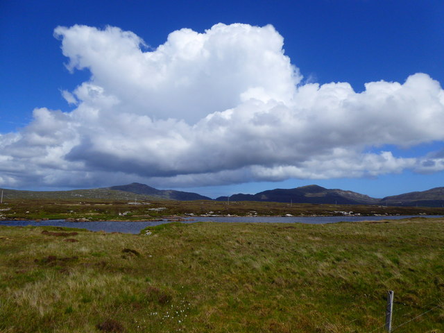
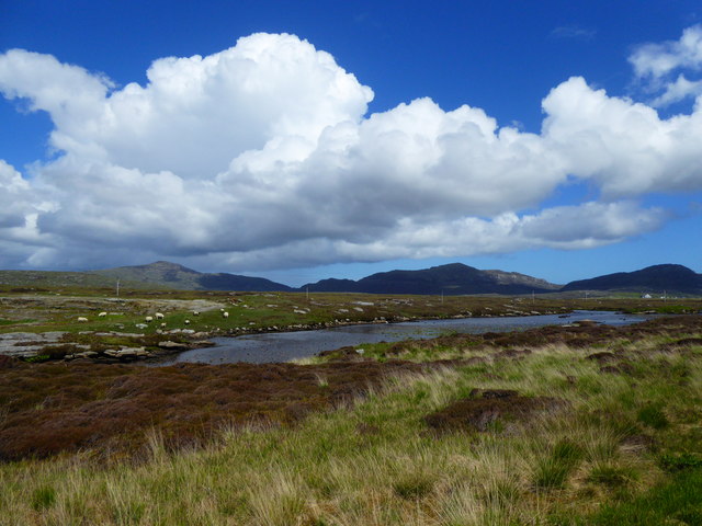
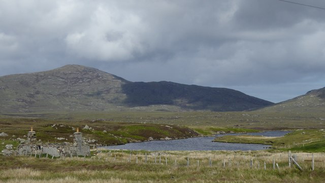
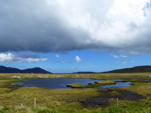
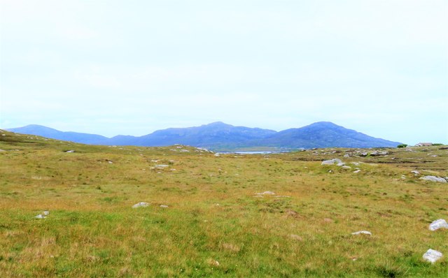
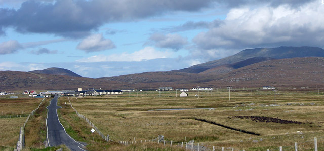
Àird Buidhe is a prominent headland located in Inverness-shire, Scotland. It is situated on the coast, offering stunning views of the surrounding landscape and the sea. The headland is characterized by rugged cliffs that rise dramatically from the water, creating a striking and picturesque scene.

Àird Buidhe is known for its unique geological formations, including layers of ancient rock that have been shaped by the forces of nature over millions of years. The headland is also home to a variety of plant and animal species, making it a popular destination for nature enthusiasts and wildlife lovers.

Visitors to Àird Buidhe can explore the coastal paths that wind their way around the headland, offering panoramic views of the sea and the surrounding countryside. The area is also popular for birdwatching, with a variety of seabirds and other species frequenting the cliffs and rocky shores.

Overall, Àird Buidhe is a beautiful and diverse coastal feature that showcases the natural beauty of the Scottish Highlands. Its rugged cliffs, stunning views, and abundant wildlife make it a must-visit destination for anyone exploring the Inverness-shire region.

If you have any feedback on the listing, please let us know in the comments section below.

Àird Buidhe Images

Images are sourced within 2km of 57.155292/-7.3524851 or Grid Reference NF7619. Thanks to Geograph Open Source API. All images are credited.

Daliburgh Co-op Largest food shop on South Uist.
Daliburgh Co-op
Largest food shop on South Uist.
The Co-op at Dalabrog
Sgoil Dhalabroig/Daliburgh School
Loch nan Geadh
Loch nan Geadh
Co-op Supermarket, Daliburgh
Loch nan Geadh
Loch nan Geadh
Ruin by Loch a' Bharp
Old Milestone by the A888, Daliburgh, South Uist Parish Granite column by the B888, in parish of South Uist (South Uist District), Daliburgh, near lamppost just South of 'The co-operative Dalabrog'.

Inscription reads:- : 3 : (To Lochboisdale Pier)

Surveyed

Milestone Society National ID: WI_SULBS03.
Old Milestone by the A888, Daliburgh, South Uist Parish
Granite column by the B888, in parish of South Uist (South Uist District), Daliburgh, near lamppost just South of 'The co-operative Dalabrog'. Inscription reads:- : 3 : (To Lochboisdale Pier) Surveyed Milestone Society National ID: WI_SULBS03.
Minor road heading north east from Cille Pheadair Crofting country between the machair and the bogs.
Minor road heading north east from Cille Pheadair
Crofting country between the machair and the bogs.
Ruined house, Cille Pheadair In a poor state of repair, but still with most of its roof when photographed in 1995. Compare this with a similar view in 2010 [<a title="https://www.geograph.org.uk/photo/4079167" href="https://www.geograph.org.uk/photo/4079167">Link</a>].
Ruined house, Cille Pheadair
In a poor state of repair, but still with most of its roof when photographed in 1995. Compare this with a similar view in 2010 [Link].
Fank at Càireasbhal
Fank at Càireasbhal
Lochan Dubh nan Caorach
Old Milestone by the B888, Lochan Dubh nan Caorach, South Uist Granite column by the B888, in parish of South Uist (South Uist District), South of junction to Kilpheder, on straight near Passing Place, by lochan.

Inscription reads:-
4
(To Lochboisdale Pier)

Surveyed

Milestone Society National ID: WI_SULBS04
Old Milestone by the B888, Lochan Dubh nan Caorach, South Uist
Granite column by the B888, in parish of South Uist (South Uist District), South of junction to Kilpheder, on straight near Passing Place, by lochan. Inscription reads:- 4 (To Lochboisdale Pier) Surveyed Milestone Society National ID: WI_SULBS04
Rough grazing on the slopes of Carrisaval Looking north of east across some rather uninspiring rough grassland with a sliver of water in the distance and the hills to the north east of Lochboisdale on the horizon.
Rough grazing on the slopes of Carrisaval
Looking north of east across some rather uninspiring rough grassland with a sliver of water in the distance and the hills to the north east of Lochboisdale on the horizon.
Old school at Lochboisdale This former school is now empty and boarded up. What a pity that so many lovely buildings are allowed to crumble.
Old school at Lochboisdale
This former school is now empty and boarded up. What a pity that so many lovely buildings are allowed to crumble.
The new South Uist Care Hospital at Daliburgh The new hospital will replace the existing Uist House on the other side of the road.
The new South Uist Care Hospital at Daliburgh
The new hospital will replace the existing Uist House on the other side of the road.
Daliburgh School from the south, on B888 Beinn Mhor, highest hill in South Uist, in background. The school is one of the largest buildings in this small village.
Daliburgh School from the south, on B888
Beinn Mhor, highest hill in South Uist, in background. The school is one of the largest buildings in this small village.
Water Lilies in Loch nan Geadh This narrow loch runs parallel to the Lochboisdale to Daliburgh road for a kilometre. It seems the less open the loch the more likely it is to be colonised by lilies.
Water Lilies in Loch nan Geadh
This narrow loch runs parallel to the Lochboisdale to Daliburgh road for a kilometre. It seems the less open the loch the more likely it is to be colonised by lilies.
Show me another place!

Àird Buidhe is located at Grid Ref: NF7619 (Lat: 57.155292, Lng: -7.3524851)

Unitary Authority: Na h-Eileanan an Iar

Police Authority: Highlands and Islands

What 3 Words

///birthdays.haggling.treaty. Near Lochboisdale, Na h-Eileanan Siar

Related Wikis

Papar

The Papar (Icelandic pronunciation: [ˈpʰaːpar̥]; from Latin papa, via Old Irish, meaning "father" or "pope") were, according to early Icelandic sagas,...
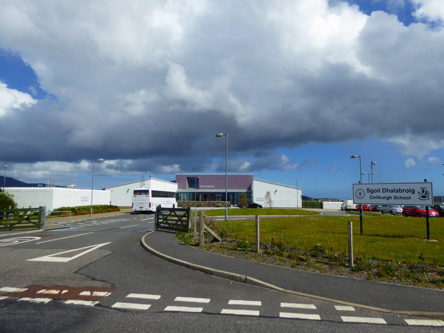
Daliburgh

Daliburgh (Scottish Gaelic: Dalabrog) is a crofting township on South Uist, in the Outer Hebrides, Scotland. Daliburgh is situated 1+1⁄2 miles (2.5 kilometres...

Auratote

Auratote (Scottish Gaelic: Oratobht) is a location on South Uist in the Outer Hebrides, Scotland. Auratote is within the parish of South Uist. == References... ==

Lochboisdale

Lochboisdale (Scottish Gaelic: Loch Baghasdail [ɫ̪ɔx ˈbɤːs̪t̪ɪl]) is the main village and port on the island of South Uist, Outer Hebrides, Scotland. Lochboisdale...
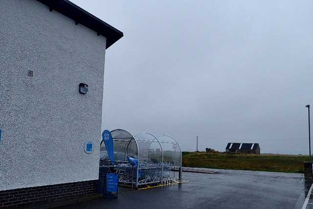
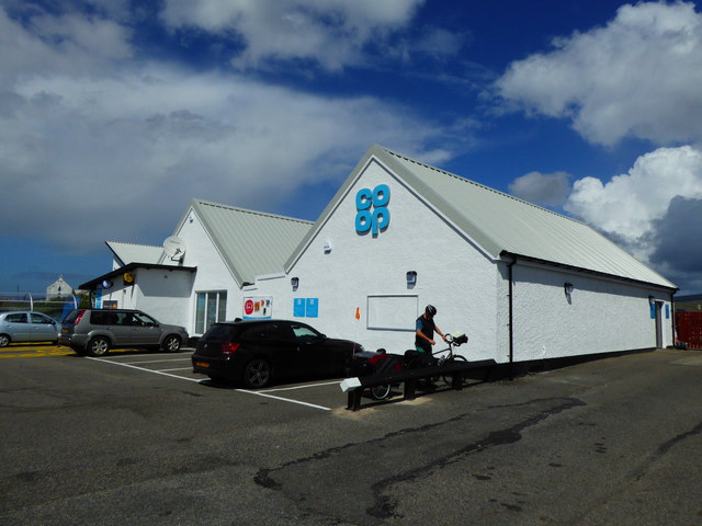
Nearby Amenities

Located within 500m of 57.155292,-7.3524851
Bus Stop
Strome
Naptan AtcoCode: 6010731844
Naptan Bearing: S
Naptan CommonName: Strome
Naptan Indicator: Strome
Naptan Landmark: Strome
Naptan NaptanCode: 94723292
Naptan Street: Strome
Naptan Verified: no
Source: naptan_import
Lat/Long: 57.1527901/-7.351133
Turning Circle
Lat/Long: 57.1550649/-7.3531297
Barrier: cattle_grid
Lat/Long: 57.1508917/-7.3538289
Barrier: cattle_grid
Lat/Long: 57.1540547/-7.3591181
Strom
Name En: Strome
Name Gd: Strom
Place: hamlet
Lat/Long: 57.1529911/-7.3532868
Power: pole
Lat/Long: 57.1536671/-7.3576789
Power: pole
Lat/Long: 57.1542134/-7.3567899
Barrier: cattle_grid
Lat/Long: 57.1551397/-7.3529482
Power: pole
Lat/Long: 57.1558325/-7.3541446
Power: pole
Lat/Long: 57.1562733/-7.3534151
Power: pole
Lat/Long: 57.1568581/-7.3524763
Power: pole
Lat/Long: 57.1572865/-7.3517776
Power: pole
Lat/Long: 57.157709/-7.3510789
Power: pole
Lat/Long: 57.1580727/-7.3505129
Power: pole
Lat/Long: 57.1584044/-7.3499577
Power: pole
Lat/Long: 57.1552361/-7.3551263
Power: pole
Lat/Long: 57.154644/-7.3560785
Power: pole
Lat/Long: 57.159245/-7.3512501
Power: pole
Lat/Long: 57.1586012/-7.3539118
Power: pole
Lat/Long: 57.1582064/-7.3526521
Power: pole
Lat/Long: 57.1532477/-7.3583409
Power: pole
Lat/Long: 57.1528135/-7.3590688
Power: pole
Lat/Long: 57.1522632/-7.3533066
Power: pole
Lat/Long: 57.1524465/-7.3541139
Power: pole
Lat/Long: 57.1525891/-7.3547093
Power: pole
Lat/Long: 57.1527069/-7.355219
Generator Method: wind_turbine
Generator Source: wind
Generator Type: horizontal_axis
Power: generator
Lat/Long: 57.1525134/-7.3472099
Power: pole
Lat/Long: 57.1515096/-7.3536794
Generator Method: photovoltaic
Generator Output Electricity: small_installation
Generator Source: solar
Generator Type: solar_photovoltaic_panel
Power: generator
Lat/Long: 57.1552908/-7.3523925
Power: pole
Lat/Long: 57.1579966/-7.3519956
Power: pole
Lat/Long: 57.1589325/-7.3493295
Strom Dearg
Natural: bay
Lat/Long: 57.153478/-7.3515561
Power: pole
Lat/Long: 57.1509663/-7.3539767
The data included in this document is from www.openstreetmap.org. The data is made available under ODbL.

Have you been to Àird Buidhe?

Leave your review of Àird Buidhe below (or comments, questions and feedback).