Rubha

Coastal Feature, Headland, Point in Inverness-shire

Scotland

Rubha

Loch Fada na Gearrachun Small thin loch linked to its larger neighbour by a small channel.
Loch Fada na Gearrachun Credit: Gordon Hatton

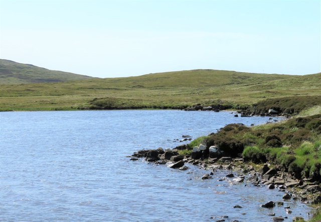
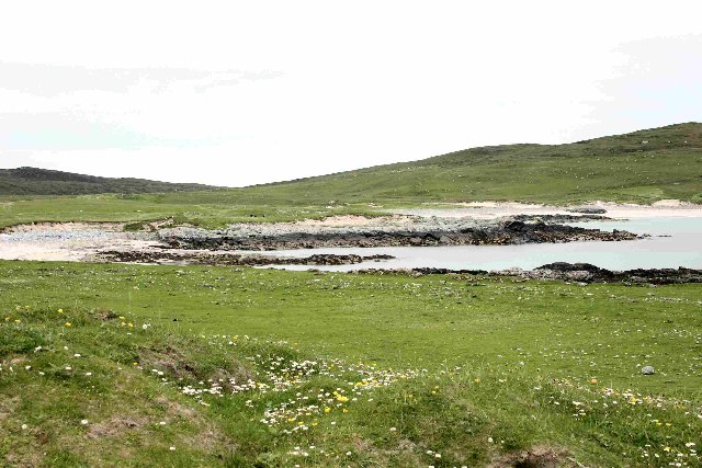
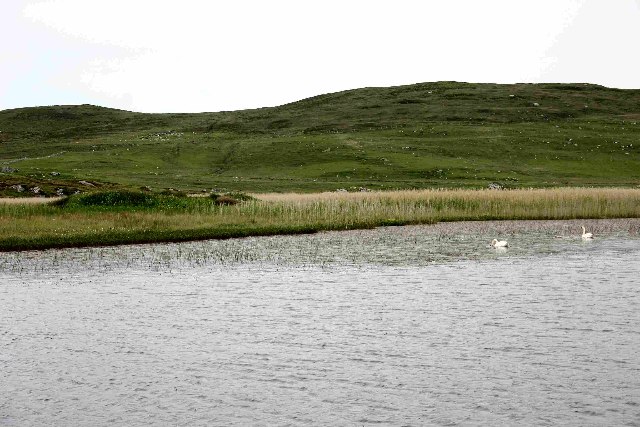
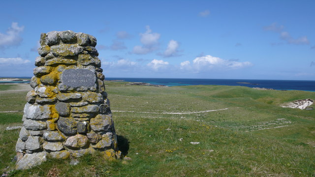
Rubha is a prominent coastal feature located in Inverness-shire, Scotland. Commonly referred to as a headland or point, Rubha extends out into the North Sea, offering breathtaking views and a rich natural environment.

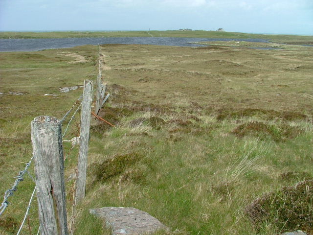
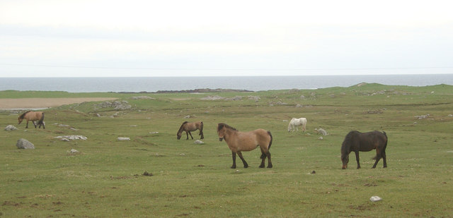
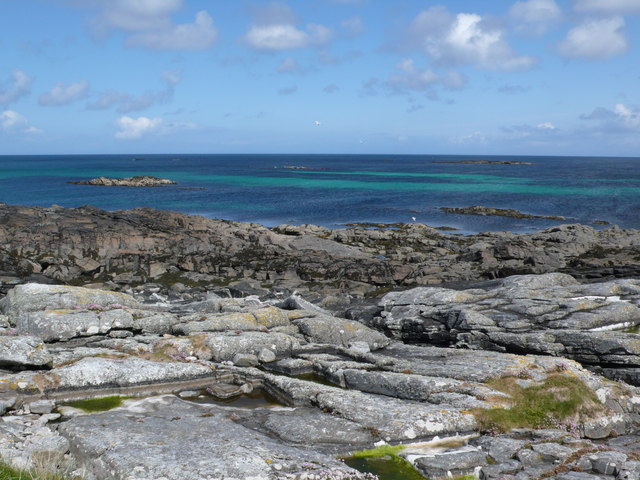
The headland is characterized by its rugged cliffs, which jut out dramatically from the surrounding landscape. These cliffs are formed by layers of sedimentary rock, showcasing the area's geological history. Over time, the relentless pounding of the waves has carved deep crevices and caves along the base of the cliffs. These natural formations provide shelter for various marine species, making Rubha a popular destination for wildlife enthusiasts and birdwatchers.

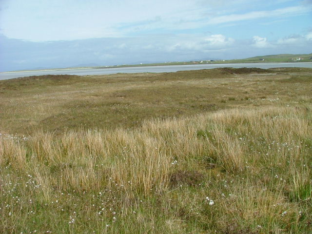
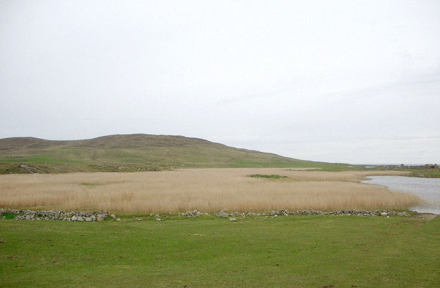
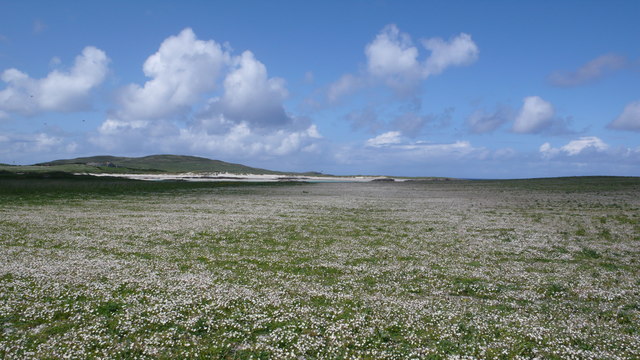
The headland is also home to a diverse array of plant life, with hardy species such as sea pink, thrift, and sea aster clinging to the exposed cliffs. Inland, the landscape transitions to grassy slopes and heathland, creating a contrasting yet harmonious blend of habitats.

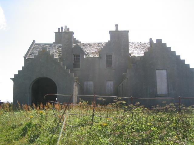
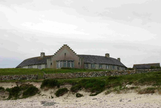
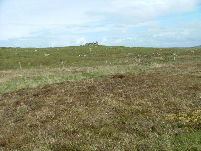
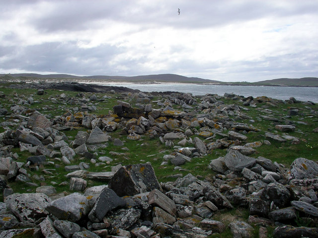
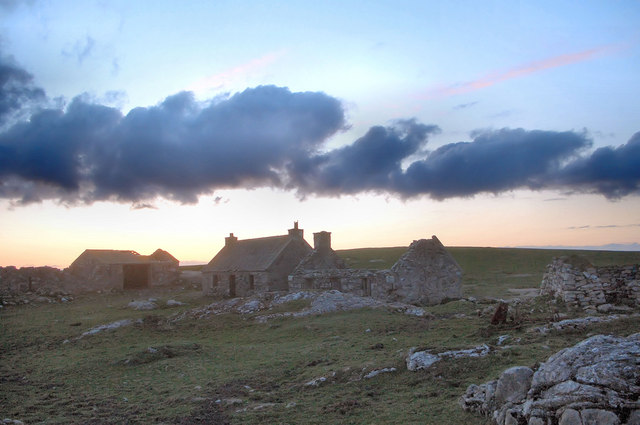
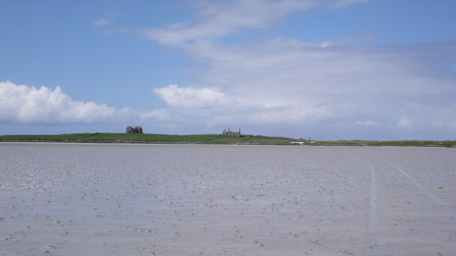
In addition to its natural beauty, Rubha holds historical significance. The area is dotted with the remains of ancient settlements and forts, dating back to the Iron Age and Viking eras. These archaeological sites serve as a reminder of the area's rich cultural heritage.

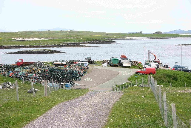
Rubha's unique location and stunning vistas make it a popular spot for outdoor activities such as hiking, photography, and nature walks. Its proximity to the sea also offers opportunities for fishing, sailing, and kayaking. Whether one seeks solitude, natural beauty, or a connection to the past, Rubha is a captivating coastal feature that captivates all who visit.

If you have any feedback on the listing, please let us know in the comments section below.

Rubha Images

Images are sourced within 2km of 57.660909/-7.4379574 or Grid Reference NF7576. Thanks to Geograph Open Source API. All images are credited.

Loch Fada na Gearrachun Small thin loch linked to its larger neighbour by a small channel.
Loch Fada na Gearrachun
Small thin loch linked to its larger neighbour by a small channel.
Erskine Beveridge's house on Bhalaigh The abandoned house of the historian Erskine Beveridge.
Erskine Beveridge's house on Bhalaigh
The abandoned house of the historian Erskine Beveridge.
Callernish House Callernish House was built in 1961 by the 5th Earl Granville. Designed by Sir Martyn Beckett, it has 14 bedrooms and 8 bathrooms. It is listed as a folly in Headley and Meulenkamp's Follies, the standard guide to follies in Britain
Callernish House
Callernish House was built in 1961 by the 5th Earl Granville. Designed by Sir Martyn Beckett, it has 14 bedrooms and 8 bathrooms. It is listed as a folly in Headley and Meulenkamp's Follies, the standard guide to follies in Britain
View from Calarnais View from Calarnais over bay to the West
View from Calarnais
View from Calarnais over bay to the West
Dun in Loch an Eilean Picture taken from East side of the Loch
Dun in Loch an Eilean
Picture taken from East side of the Loch
Pier with Bhalaigh in the background
Machair Looking towards Tràigh Bhàlaigh.
Machair
Looking towards Tràigh Bhàlaigh.
Ruin on the Moorland Looking southwest from the A865.
Ruin on the Moorland
Looking southwest from the A865.
Fence running to Loch Olabhat Houses at Griminis in the distance.
Fence running to Loch Olabhat
Houses at Griminis in the distance.
Teampull Orain The surf scattered ruin of Teampull Orain on Isle Oronsay
Teampull Orain
The surf scattered ruin of Teampull Orain on Isle Oronsay
Settlement ruins, Griminish Evening view of ruined buildings in a former settlement at Griminish.
Settlement ruins, Griminish
Evening view of ruined buildings in a former settlement at Griminish.
Reedbed, Loch an Eilean Looking westwards across a reedbed occupying a large part of Loch an Eilean. The hill in the background is Beinn Scolpaig.
Reedbed, Loch an Eilean
Looking westwards across a reedbed occupying a large part of Loch an Eilean. The hill in the background is Beinn Scolpaig.
Grazing land at Griminis, North Uist View looking north west of grazing land to the east of Loch an Eilean. The grazers here are horses and ponies of a riding centre.
Grazing land at Griminis, North Uist
View looking north west of grazing land to the east of Loch an Eilean. The grazers here are horses and ponies of a riding centre.
Bhalaigh House Bhalaigh viewed across Traigh Bhalaigh.  This vast expanse of sand dries to such an extent that at low tide cars can drive across to the island.
Bhalaigh House
Bhalaigh viewed across Traigh Bhalaigh. This vast expanse of sand dries to such an extent that at low tide cars can drive across to the island.
Navigation Beacon, Caolas Bhalaigh I think this beacon is used to aid navigation into the narrow and shallow Caolas Bhalaigh.
Navigation Beacon, Caolas Bhalaigh
I think this beacon is used to aid navigation into the narrow and shallow Caolas Bhalaigh.
Vallay Machair The machair is such a fine sight, no many how many times you see it.  A mass of wild flowers as far as the eye can see and buzzing with bumblebees and butterflies everywhere.
Vallay Machair
The machair is such a fine sight, no many how many times you see it. A mass of wild flowers as far as the eye can see and buzzing with bumblebees and butterflies everywhere.
George Beveridge Memorial Stone built memorial to George Beveridge 1891 - 1944.
George Beveridge Memorial
Stone built memorial to George Beveridge 1891 - 1944.
Vallay Shoreline Although mostly surrounded by sand there are a few rocky shores.  This one overlooking Caolas Bhalaigh.
Vallay Shoreline
Although mostly surrounded by sand there are a few rocky shores. This one overlooking Caolas Bhalaigh.
Show me another place!

Rubha is located at Grid Ref: NF7576 (Lat: 57.660909, Lng: -7.4379574)

Unitary Authority: Na h-Eileanan an Iar

Police Authority: Highlands and Islands

What 3 Words

///mulls.perfectly.difficult. Near Lochmaddy, Na h-Eileanan Siar

Related Wikis

Eilean Dòmhnuill

Ian Armit identifies the islet of Eilean Dòmhnuill (Scottish Gaelic: Eilean Dòmhnaill, Scottish Gaelic pronunciation: [elan ˈt̪õː.ɪʎ], "The Isle of Donald...

Vallay

Vallay (Scottish Gaelic: Bhàlaigh) is an uninhabited tidal island in the Scottish Outer Hebrides. It can be reached from North Uist by a long beach at...

Scolpaig Tower

Scolpaig Tower (also known as Dùn Scolpaig or MacLeod’s Folly) is a Georgian folly located near the village of Scolpaig on the island of North Uist in...

Scolpaig

Scolpaig (Scottish Gaelic: Sgolpaig) is a district on the north-west coast of the island of North Uist in the Outer Hebrides of Scotland. In 2018 it was...

Nearby Amenities

Located within 500m of 57.660909,-7.4379574
Camas Mòr
Natural: bay
Lat/Long: 57.6622813/-7.4357224
The data included in this document is from www.openstreetmap.org. The data is made available under ODbL.

Have you been to Rubha?

Leave your review of Rubha below (or comments, questions and feedback).