Rubha Ghràlais
Coastal Feature, Headland, Point in Inverness-shire
Scotland
Rubha Ghràlais
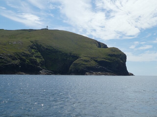
Rubha Ghràlais is a stunning coastal headland located in Inverness-shire, Scotland. Situated on the western coast of the Scottish Highlands, it is renowned for its breathtaking natural beauty and dramatic landscapes. The name "Rubha Ghràlais" translates to "green point" in English, perfectly describing the lush greenery that covers the headland.
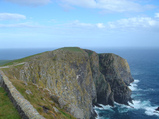
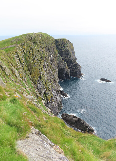
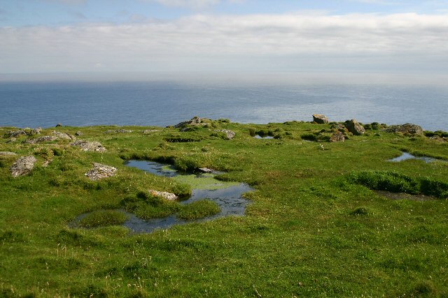
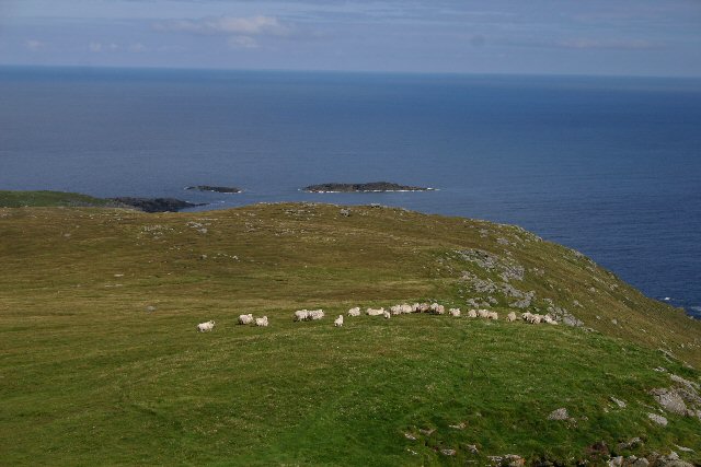
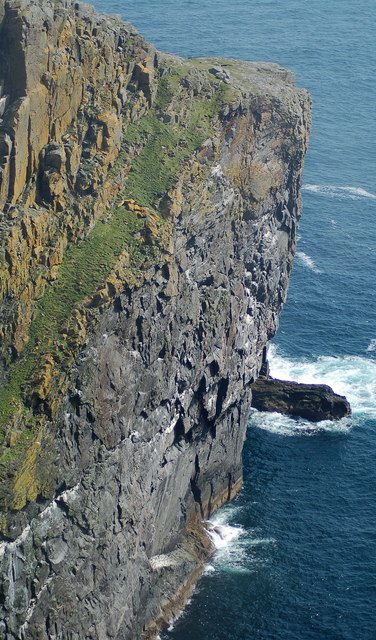
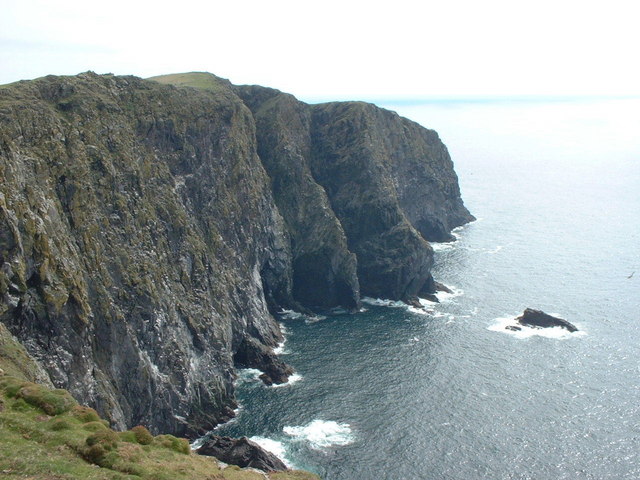
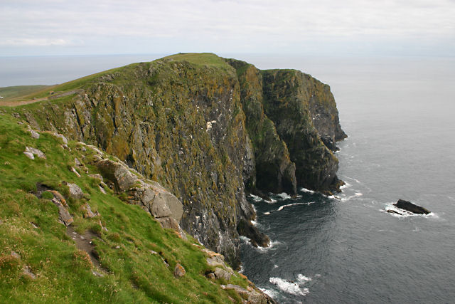
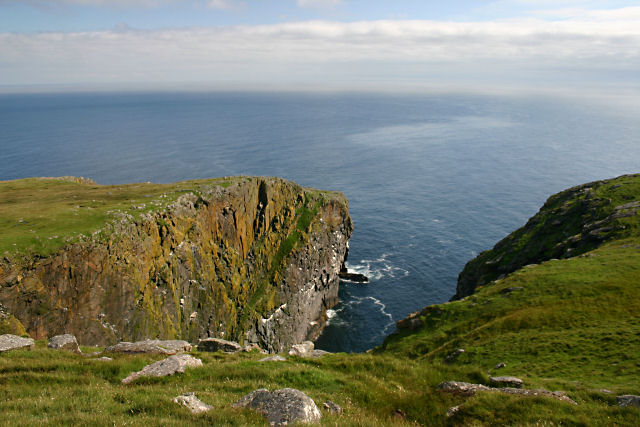
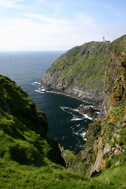
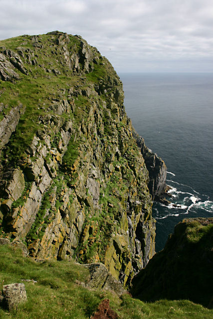
This prominent coastal feature juts out into the vast expanse of the North Atlantic Ocean, offering unrivaled views of the surrounding seascape. The headland is characterized by towering cliffs that plunge into the crashing waves below, providing a spectacular sight for visitors. These cliffs are believed to be remnants of ancient volcanic activity, lending an intriguing geological aspect to the landscape.
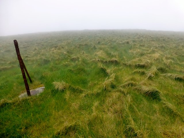
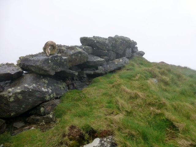
The rich biodiversity of Rubha Ghràlais is truly remarkable. The headland is home to a variety of plant and animal species, including seabirds, seals, and even the occasional dolphin or whale. The diverse flora that blankets the headland includes hardy grasses, heather, and wildflowers, contributing to its vibrant and picturesque scenery.
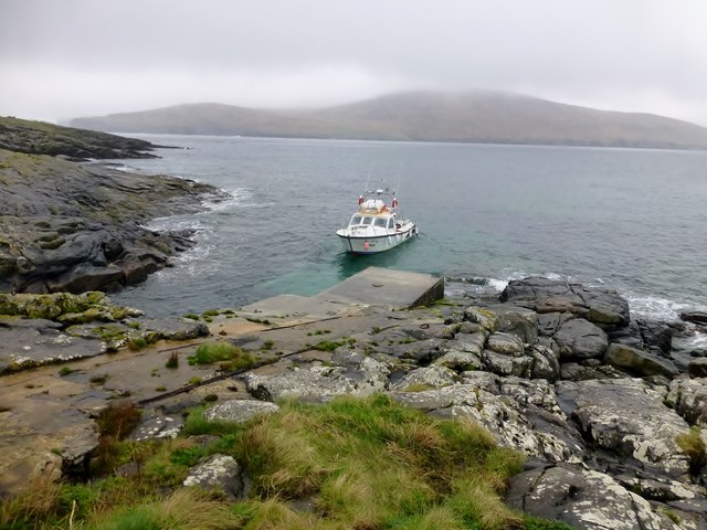
Rubha Ghràlais is a popular destination for outdoor enthusiasts and nature lovers alike. Visitors can explore the headland via various walking trails, taking in the breathtaking views and immersing themselves in the tranquility of the surroundings. Additionally, the headland offers excellent opportunities for birdwatching, photography, and simply enjoying the natural beauty of the Scottish coastline.
In summary, Rubha Ghràlais is a captivating coastal headland in Inverness-shire, Scotland, known for its stunning cliffs, lush greenery, and abundant wildlife. It is a must-visit destination for those seeking to experience the raw beauty of the Scottish Highlands and the North Atlantic coastline.
If you have any feedback on the listing, please let us know in the comments section below.
Rubha Ghràlais Images
Images are sourced within 2km of 56.779341/-7.6324778 or Grid Reference NL5679. Thanks to Geograph Open Source API. All images are credited.


Rubha Ghràlais is located at Grid Ref: NL5679 (Lat: 56.779341, Lng: -7.6324778)
Unitary Authority: Na h-Eileanan an Iar
Police Authority: Highlands and Islands
What 3 Words
///northward.providing.upon. Near CastleBay, Na h-Eileanan Siar
Nearby Locations
Related Wikis

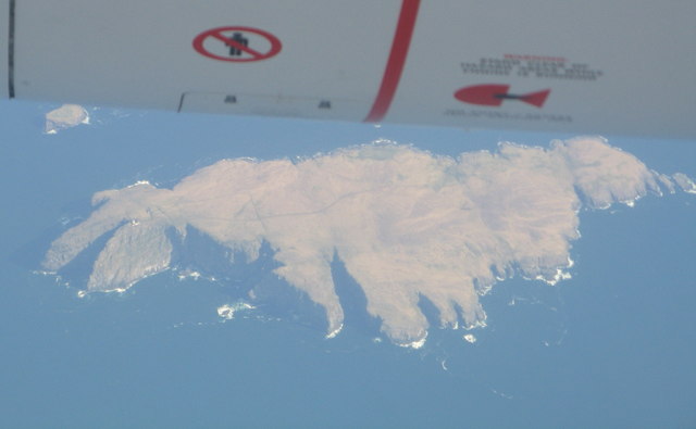
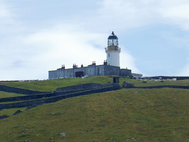
Barra Head
Barra Head, also known as Berneray (Scottish Gaelic: Beàrnaraigh; Scots: Barra Heid), is the southernmost island of the Outer Hebrides in Scotland. Within...

Barra Head Lighthouse
Barra Head Lighthouse on Barra Head identifies the southern entrance to The Minch, roughly halfway between the Eilean Glas and Rinns of Islay lighthouses...

Arnamul
Arnamul (Scottish Gaelic: Arnamuil) is a stack off the west coast of Mingulay in the Western Isles, Scotland. Although precipitous, sheep were grazed on...

Barra Isles
The Barra Isles, also known as the Bishop's Isles, are a small archipelago in the Outer Hebrides of Scotland. They lie south of the island of Barra, for...
Related Videos

Barra Head On Visit To The Outer Hebrides Of Scotland
Tour Scotland travel video, with Scottish music, of Barra Head, also known as Berneray, Scottish Gaelic: Beàrnaraigh; Scots: Barra ...
Nearby Amenities
Located within 500m of 56.779341,-7.6324778Have you been to Rubha Ghràlais?
Leave your review of Rubha Ghràlais below (or comments, questions and feedback).