Audenshaw
Settlement in Lancashire
England
Audenshaw
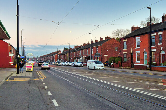
Audenshaw is a small town located in the Metropolitan Borough of Tameside, Greater Manchester, England. Historically, Audenshaw was a part of Lancashire but is now under the administrative jurisdiction of Greater Manchester. It lies approximately six miles east of Manchester city center and is bordered by the towns of Droylsden, Denton, and Ashton-under-Lyne.
Audenshaw is primarily a residential area, with a mix of housing styles ranging from Victorian terraces to post-war council estates and more modern developments. The town has a population of around 13,000 people.
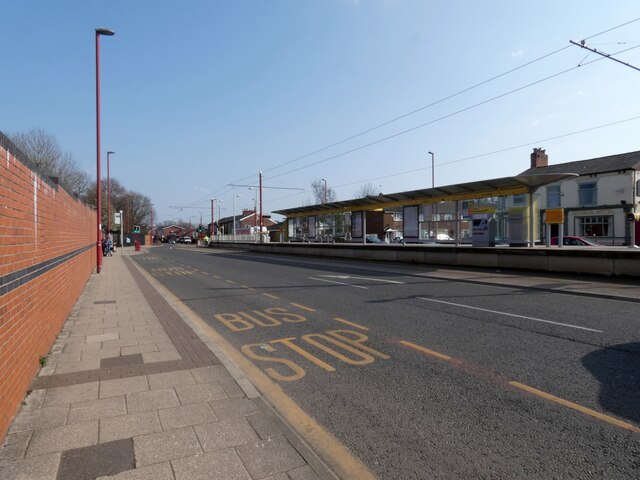
The town is well-served by transportation links, with the M60 motorway running along its southern border and providing easy access to Manchester and other nearby towns. Audenshaw also benefits from several bus routes that connect it to neighboring areas.
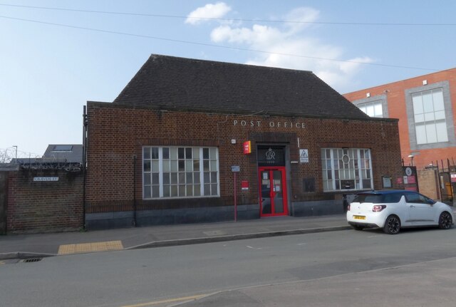
Audenshaw has a range of amenities to cater to the needs of its residents. There are several schools in the area, including primary and secondary schools. The town also has a library, a community center, and a small shopping precinct with a variety of shops, cafes, and services.
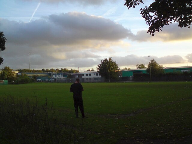
For those seeking outdoor recreational activities, Audenshaw Reservoirs offer opportunities for walking, fishing, and bird-watching. The town also boasts several parks and green spaces, including Ryecroft Hall Park, which hosts various events throughout the year.
Overall, Audenshaw is a quiet residential town situated within close proximity to Manchester, making it an attractive location for commuters and families looking for a peaceful place to live.
If you have any feedback on the listing, please let us know in the comments section below.
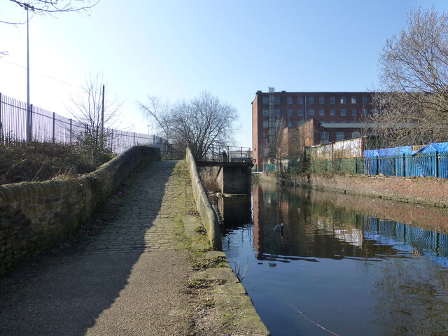
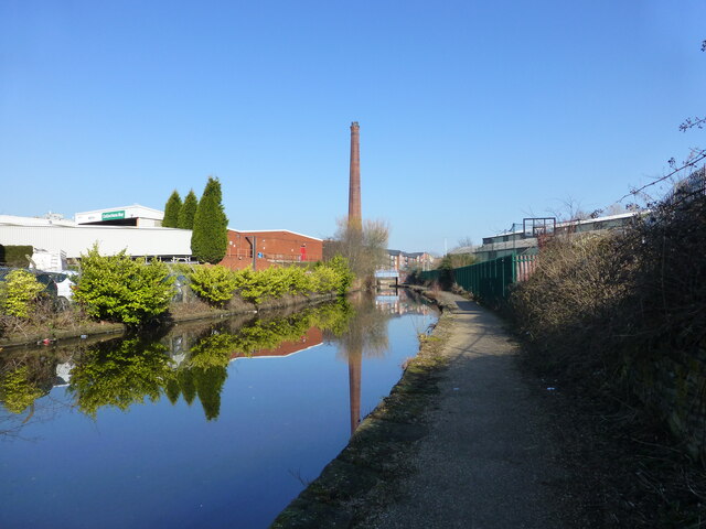
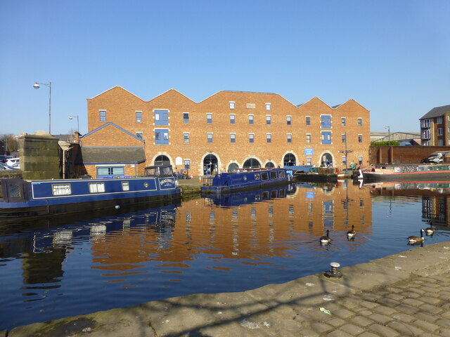
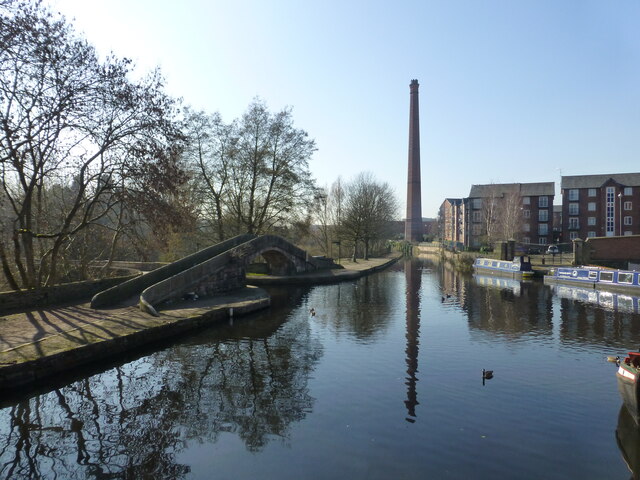
Audenshaw Images
Images are sourced within 2km of 53.477304/-2.12352 or Grid Reference SJ9197. Thanks to Geograph Open Source API. All images are credited.


Audenshaw is located at Grid Ref: SJ9197 (Lat: 53.477304, Lng: -2.12352)
Unitary Authority: Tameside
Police Authority: Greater Manchester
What 3 Words
///goods.rated.wonderfully. Near Droylsden, Manchester
Nearby Locations
Related Wikis

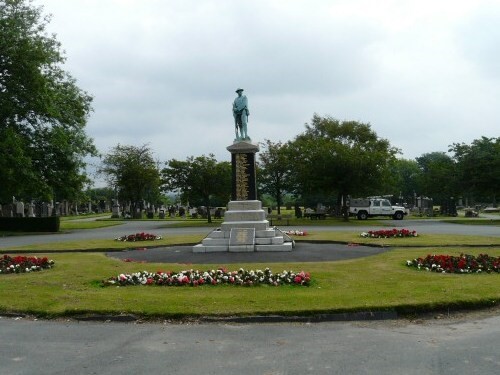
Ryecroft Hall
Ryecroft Hall is a Grade II listed building in Audenshaw, Tameside, Greater Manchester. Originally a home to several prominent local residents, the hall...
Audenshaw
Audenshaw is a town in Tameside, Greater Manchester, England, 4.9 miles (7.9 km) east of Manchester. Historically part of Lancashire, in 2011 it had a...
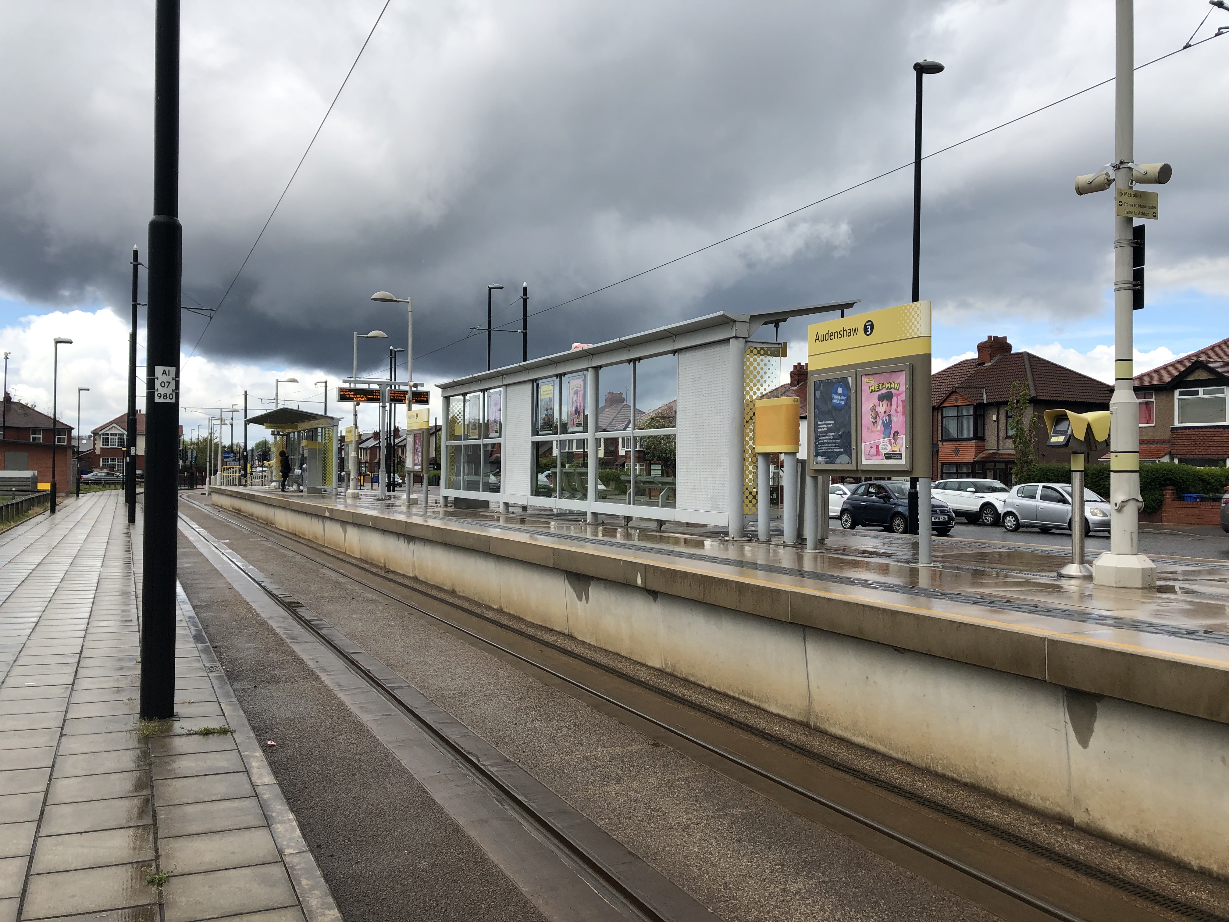
Audenshaw tram stop
Audenshaw is a tram stop serving Audenshaw on the East Manchester Line (EML) of Greater Manchester's light-rail Metrolink system. The station opened on...

Guide Bridge
Guide Bridge is an area west of Ashton-under-Lyne, in Tameside, Greater Manchester, England. Historically part of Lancashire, Guide Bridge was built as...
Nearby Amenities
Located within 500m of 53.477304,-2.12352Have you been to Audenshaw?
Leave your review of Audenshaw below (or comments, questions and feedback).