Further Ford End
Settlement in Essex Uttlesford
England
Further Ford End

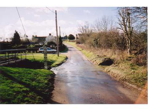
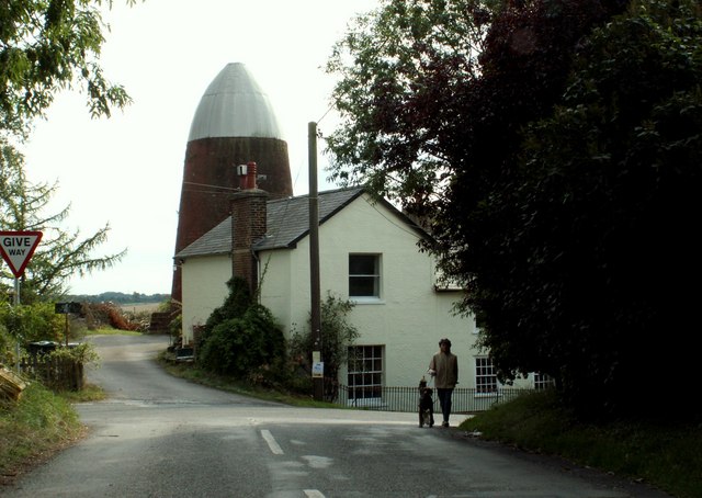
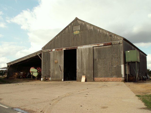
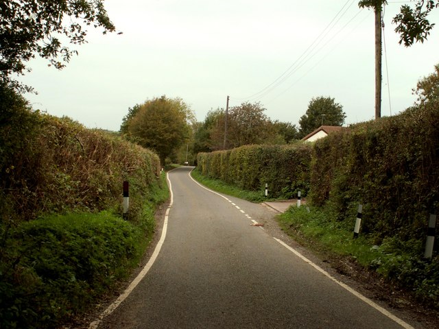
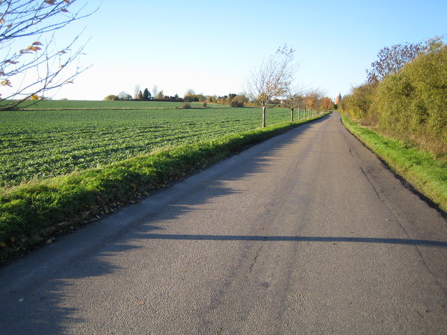
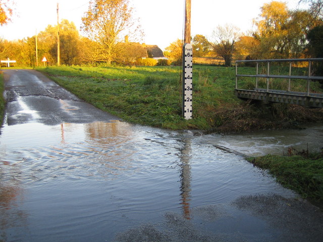
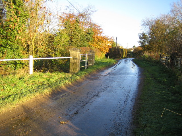
Further Ford End is a small village located in the county of Essex, England. Situated near the town of Great Dunmow, this rural settlement is known for its picturesque countryside and peaceful atmosphere. The village is surrounded by fields and farmland, providing a tranquil and idyllic setting for its residents.
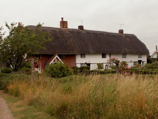
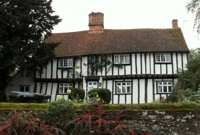
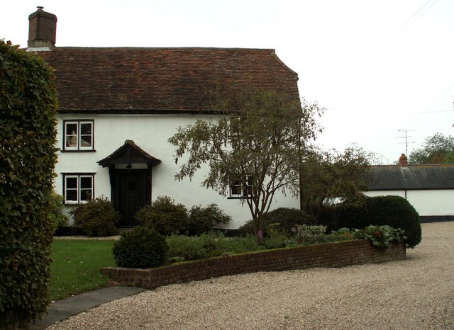
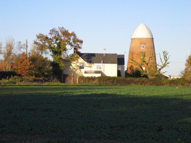
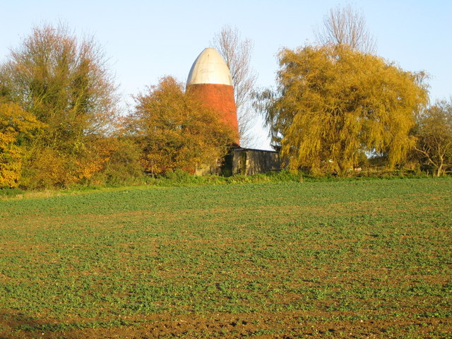
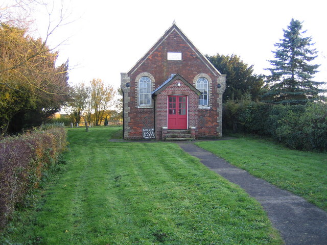
Further Ford End is home to a tight-knit community, with a population of around 500 people. The village is characterized by its charming cottages and historic buildings, giving it a distinct traditional English village feel. Many of these buildings date back several centuries, adding to the village's rich heritage.
The village offers a range of amenities to its residents, including a local pub, a village hall, and a small convenience store. These facilities provide a sense of community and serve as gathering places for social events and activities. Additionally, the village is well-connected to nearby towns and cities, with good transportation links and easy access to major roads.
Nature lovers will appreciate the scenic beauty of Further Ford End, as there are many walking and cycling paths in the surrounding countryside. The village is also close to several nature reserves and parks, offering opportunities for outdoor recreation and wildlife spotting.
Overall, Further Ford End is a charming and peaceful village that offers a close-knit community and a tranquil rural lifestyle. Its picturesque surroundings and rich history make it an attractive place to live for those seeking a slower pace of life.
If you have any feedback on the listing, please let us know in the comments section below.
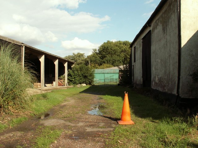
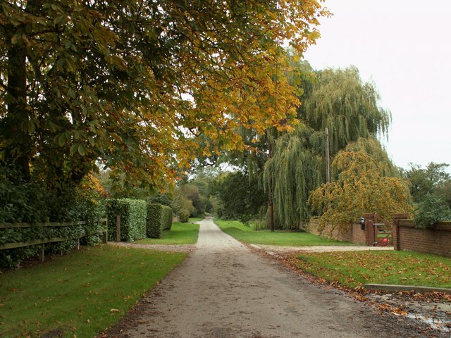
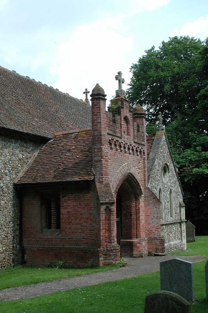
Further Ford End Images
Images are sourced within 2km of 51.975367/0.108204 or Grid Reference TL4432. Thanks to Geograph Open Source API. All images are credited.
Further Ford End is located at Grid Ref: TL4432 (Lat: 51.975367, Lng: 0.108204)
Administrative County: Essex
District: Uttlesford
Police Authority: Essex
What 3 Words
///daytime.dislikes.hotels. Near Buntingford, Hertfordshire
Nearby Locations
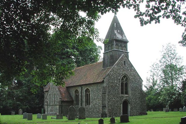
Related Wikis

Meesden
Meesden is a village and civil parish of the East Hertfordshire district of Hertfordshire, England. Nearby settlements include Anstey and Brent Pelham...

Brent Pelham Windmill
Brent Pelham Windmill is a Grade II listed smock mill at Brent Pelham, Hertfordshire, England which is derelict. == History == Brent Pelham Mill was built...

Langley, Essex
For the historic house in Essex called Langley's, see Great Waltham. Langley is a village and civil parish near Clavering in the English county of Essex...

Clavering Castle
Clavering Castle remains are situated in the small parish village of Clavering in the county of Essex, England, 50m north of the church of St Mary and...

Brent Pelham
Brent Pelham is a village and civil parish in the East Hertfordshire district, in the county of Hertfordshire, England, and situated approximately 5 miles...

Wicken Bonhunt
Wicken Bonhunt is a village and a civil parish of north-west Essex, in the non-metropolitan district of Uttlesford, England. It is on the B1038 (Buntingford...
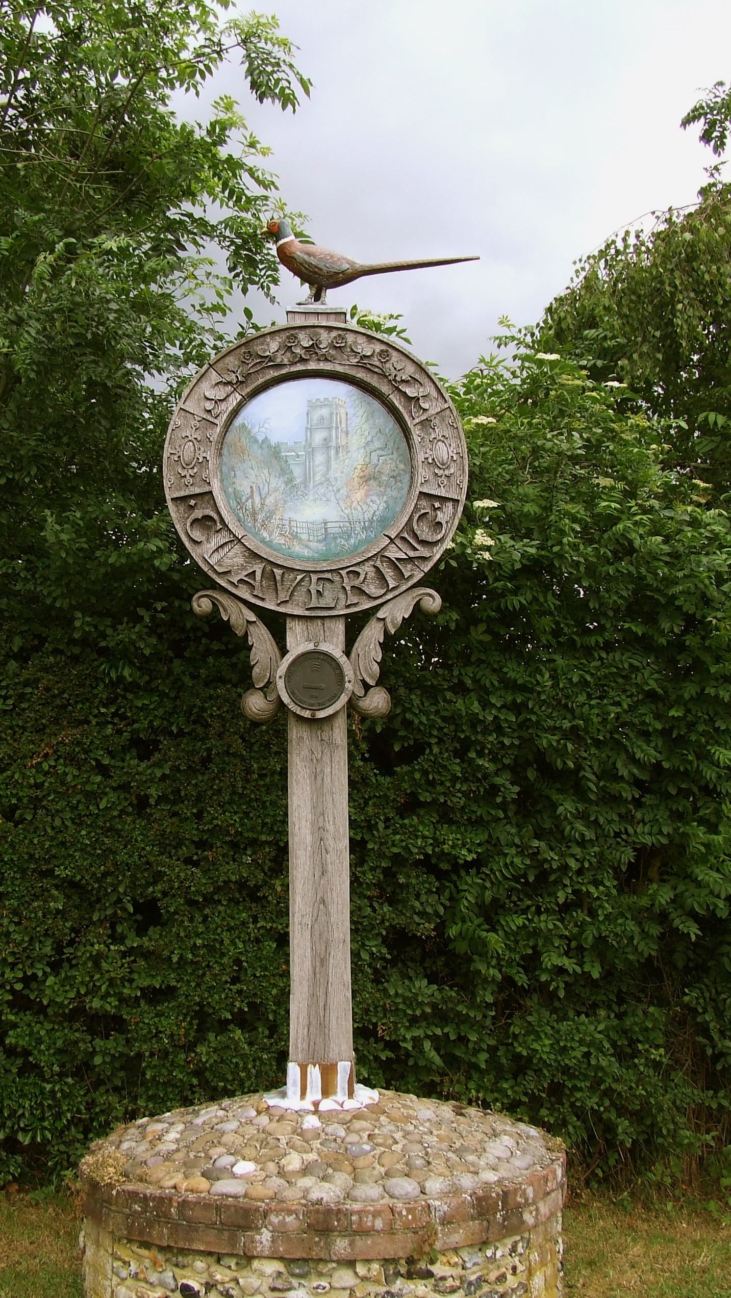
Clavering, Essex
Clavering is a village and also a parish in north-west Essex in England. It is about 20 miles (32 km) from Cambridge and 50 miles (80 km) from Southend...

Arkesden
Arkesden is a village and civil parish in the Uttlesford district of Essex, England. The village is 4.3 miles (7 km) south-west from Saffron Walden, approximately...
Nearby Amenities
Located within 500m of 51.975367,0.108204Have you been to Further Ford End?
Leave your review of Further Ford End below (or comments, questions and feedback).