Holly Grove
Wood, Forest in Suffolk East Suffolk
England
Holly Grove

Holly Grove is a quaint village located in Suffolk, England, known for its beautiful woodlands and enchanting forests. Situated amidst the lush greenery of the county, this idyllic village offers a serene and picturesque setting for nature enthusiasts and those seeking tranquility.
The village is named after the abundance of holly trees that populate the area, creating a stunning spectacle during the winter months when their vibrant red berries contrast against the snowy landscape. The holly trees also serve as a habitat for a variety of bird species, making it a popular destination for birdwatchers.
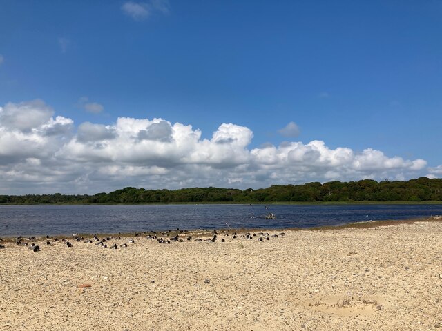
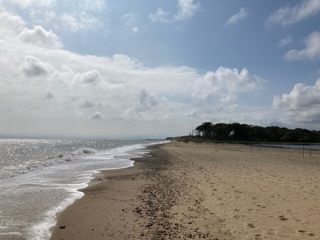
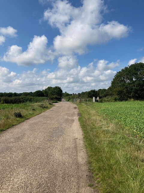
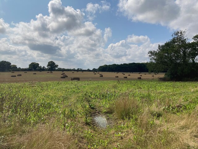
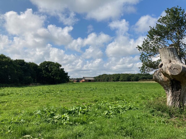
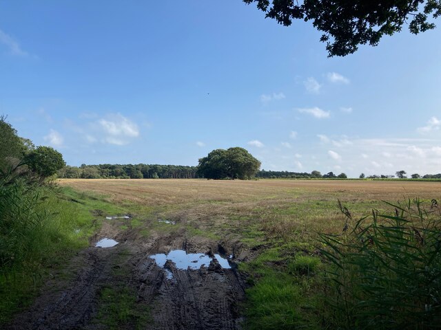
The woodlands surrounding Holly Grove are a haven for explorers and hikers, boasting a network of well-maintained trails that wind through the dense foliage. The forest is home to a diverse range of flora and fauna, including ancient oak trees, wildflowers, and elusive wildlife such as deer and foxes. The peaceful atmosphere and natural beauty of the forest make it a popular spot for picnics, photography, and simply immersing oneself in the wonders of nature.
Despite its small size, Holly Grove has a close-knit community that takes pride in preserving its natural surroundings. The village is dotted with charming cottages, some of which date back several centuries, adding to its timeless charm. The local residents are known for their warm hospitality, and visitors can often find themselves welcomed in the village pub, where they can enjoy a pint of locally brewed ale and engage in friendly conversation with the locals.
In conclusion, Holly Grove, Suffolk is a hidden gem nestled in the heart of nature, offering a blissful retreat from the hustle and bustle of modern life. Its woodlands and forests provide a sanctuary for both wildlife and humans alike, making it a must-visit destination for nature enthusiasts and those seeking a peaceful escape.
If you have any feedback on the listing, please let us know in the comments section below.
Holly Grove Images
Images are sourced within 2km of 52.382687/1.6889132 or Grid Reference TM5182. Thanks to Geograph Open Source API. All images are credited.


Holly Grove is located at Grid Ref: TM5182 (Lat: 52.382687, Lng: 1.6889132)
Administrative County: Suffolk
District: East Suffolk
Police Authority: Suffolk
What 3 Words
///failed.regret.flattery. Near Kessingland, Suffolk
Nearby Locations
Related Wikis

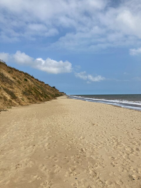
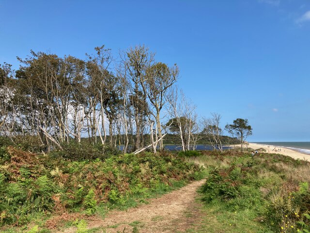
Pakefield to Easton Bavents
Pakefield to Easton Bavents is a 735.4-hectare (1,817-acre) biological and geological Site of Special Scientific Interest which stretches along the Suffolk...

Old Town Hall, Wrentham
The Old Town Hall is a former municipal building in the High Street in Wrentham, Suffolk, England. The building, which was the meeting place of Wrentham...
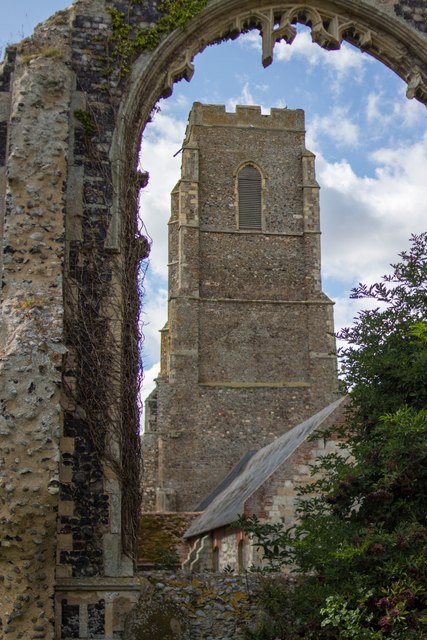
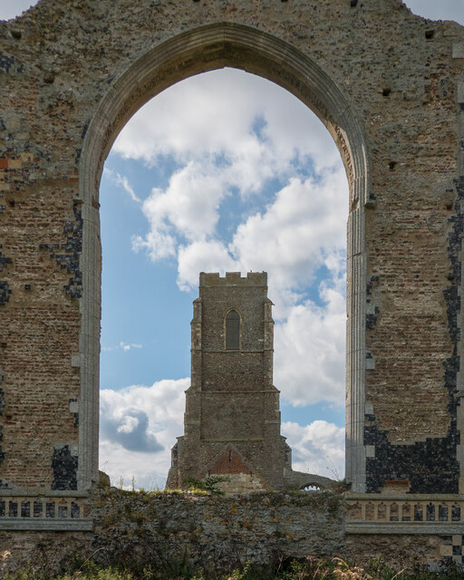
St Andrew's Church, Covehithe
St Andrew's Church is a partly redundant Anglican church in the hamlet of Covehithe in the English county of Suffolk. It is recorded in the National Heritage...
Covehithe
Covehithe is a village and civil parish in the East Suffolk district of the English county of Suffolk. It lies on the North Sea coast around 4 miles (6...
Nearby Amenities
Located within 500m of 52.382687,1.6889132Have you been to Holly Grove?
Leave your review of Holly Grove below (or comments, questions and feedback).