Furnace Green
Settlement in Sussex Crawley
England
Furnace Green
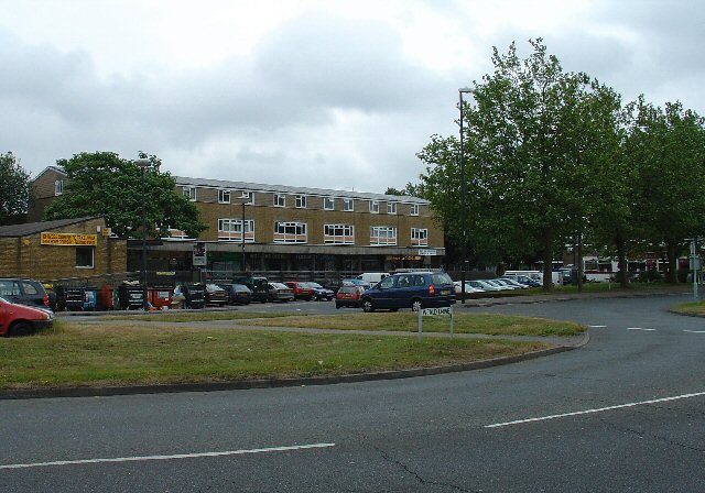
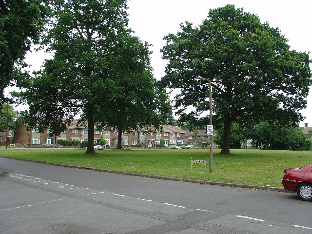
Furnace Green is a residential neighborhood located in the town of Crawley, in the county of West Sussex, England. Situated on the eastern side of the town, Furnace Green is known for its tranquil atmosphere and its close proximity to green spaces.
The area primarily consists of a mix of semi-detached and terraced houses, providing a range of housing options for residents. The homes in Furnace Green are typically well-maintained and surrounded by small gardens, contributing to the overall pleasant aesthetic of the neighborhood.
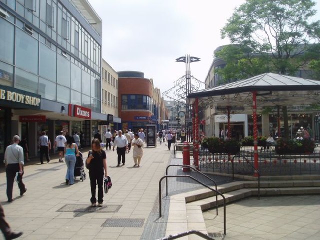
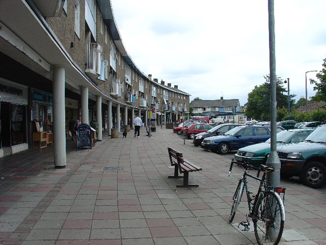
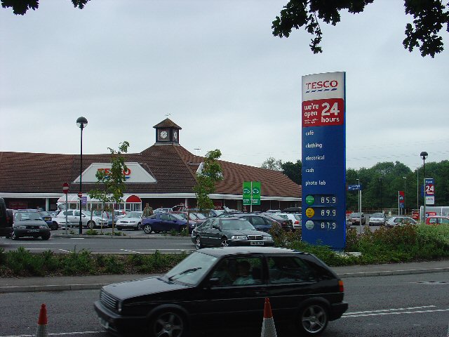
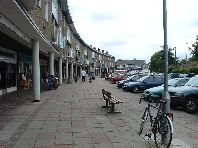
Furnace Green benefits from its strategic location, offering easy access to various amenities and services. The nearby shopping center, The Hawth, provides a wide range of retail outlets, restaurants, and a cinema, ensuring residents have convenient access to entertainment and shopping options. Additionally, the neighborhood is well-served by local schools and health facilities, making it an attractive location for families.
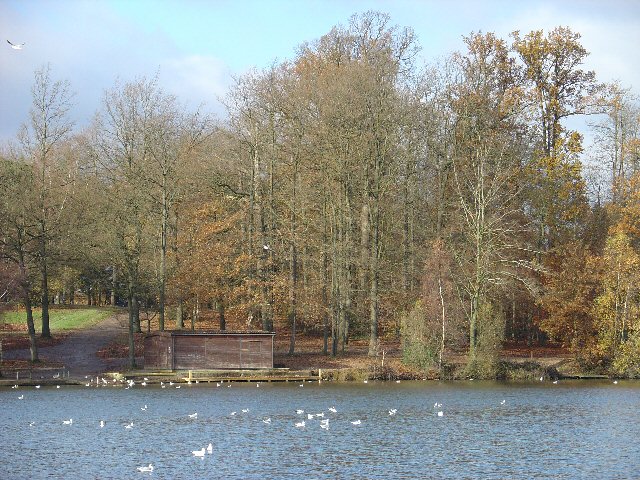
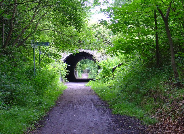
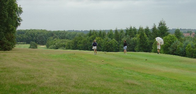
Nature enthusiasts will appreciate Furnace Green's proximity to green spaces such as Tilgate Park and Buchan Country Park. These expansive parks offer picturesque walking trails, lakes, and wildlife, providing opportunities for outdoor activities and relaxation.
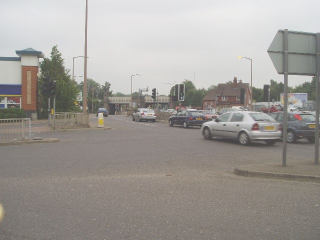
Transportation in Furnace Green is convenient, with several bus routes connecting the neighborhood to other parts of Crawley and nearby towns. The neighborhood is also well-connected to major road networks, including the M23 motorway, making it easily accessible for commuters.
Overall, Furnace Green offers a peaceful residential environment with a range of amenities, making it an appealing place to live in Sussex.
If you have any feedback on the listing, please let us know in the comments section below.
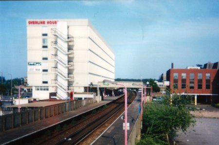
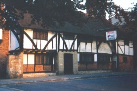
Furnace Green Images
Images are sourced within 2km of 51.109154/-0.169802 or Grid Reference TQ2836. Thanks to Geograph Open Source API. All images are credited.

Furnace Green is located at Grid Ref: TQ2836 (Lat: 51.109154, Lng: -0.169802)
Administrative County: West Sussex
District: Crawley
Police Authority: Sussex
What 3 Words
///rates.shared.flat. Near Furnace Green, West Sussex
Nearby Locations
Related Wikis
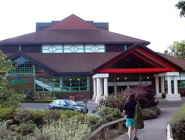
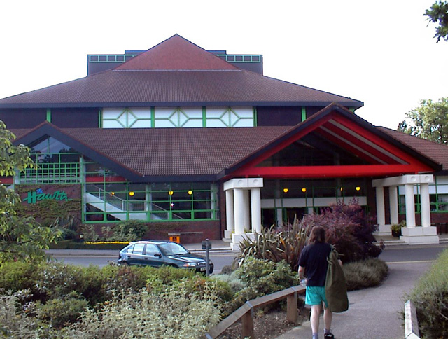
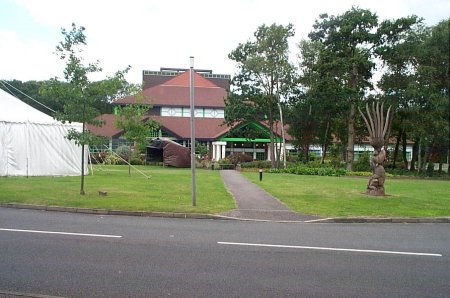
Hawth Theatre
The Hawth Theatre is an arts and entertainment complex located in 38 acres (150,000 m2) of woodland about 0.5 mi (800 m) from the town centre of the English...

Three Bridges F.C.
Three Bridges Football Club is a football club based in Three Bridges in Crawley, West Sussex, England. The club is affiliated to the Sussex County Football...
Tilgate
Tilgate is one of 14 neighbourhoods within the town of Crawley in West Sussex, England. The area contains a mixture of privately developed housing, self...
Three Bridges depot
Three Bridges depot is an Electric Traction Depot located in Three Bridges, West Sussex, England. The depot is about 1.5 km south of Three Bridges railway...

Tilgate & Furnace Green (electoral division)
Tilgate & Furnace Green is an electoral division of West Sussex in the United Kingdom, and returns one member to sit on West Sussex County Council. �...
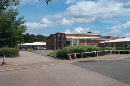
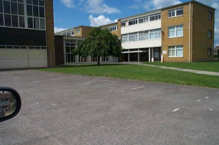
Oriel High School
Oriel High School is a maintained community secondary school for pupils aged 11 to 18. It opened in September 2004 as part of a reorganisation of secondary...

Tilgate Forest
Tilgate Forest is a 6.9-hectare (17-acre) Local Nature Reserve in Crawley in West Sussex. It is owned and managed by Crawley Borough Council and is part...

Crawley (UK Parliament constituency)
Crawley is a constituency in West Sussex represented in the House of Commons of the UK Parliament since 2010 by Henry Smith of the Conservative Party....
Nearby Amenities
Located within 500m of 51.109154,-0.169802Have you been to Furnace Green?
Leave your review of Furnace Green below (or comments, questions and feedback).